Pacific Northwest Trail: Hannegan to Ross Dam in North Cascades National Park

North Cascades National Park, WA

Pacific Northwest Trail: Hannegan to Ross Dam

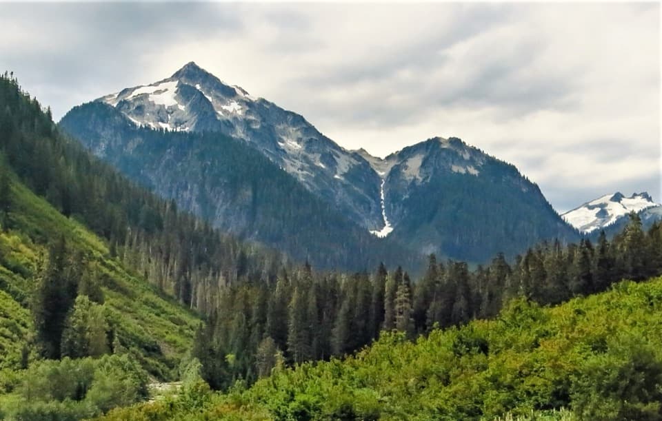
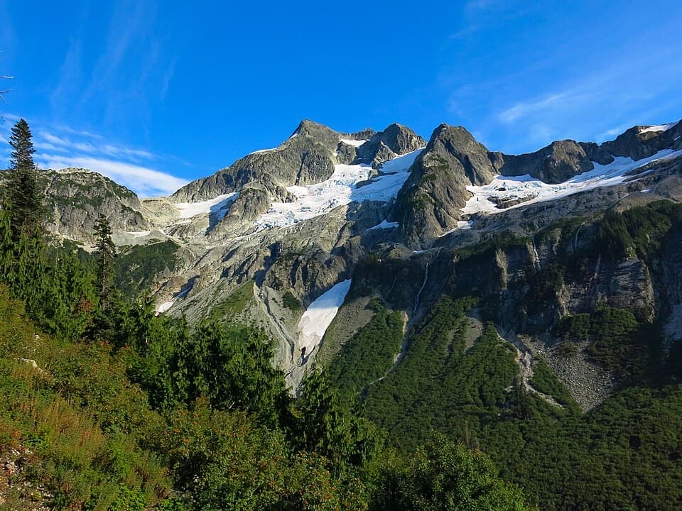
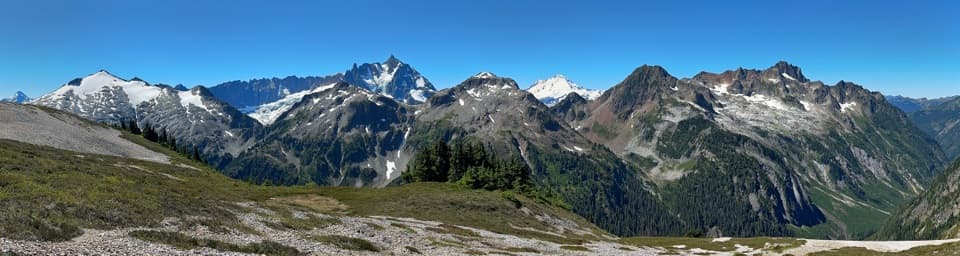
Three high passes follow wild rivers through old-growth cedar.

Photo: Wikimedia Commons
Length
49.3mi
Time
1.5days
Elev. change
3,087ft
Difficulty
Challenging
  • No dogs
  • High point 4,810 ft
Parkwolf audio tour83 stories across North Cascades’s roads

Overview

About Pacific Northwest Trail: Hannegan to Ross Dam

Why go

  • Three high passes, remote river valleys and an old-growth cedar stand.
  • A substantial point-to-point wilderness trip for experienced backpackers.

Heads up

  • Multi-day commitment with permits and camp reservations to plan.
  • Difficult route-finding and potentially hard early-season creek crossings.
  • Two separate trailheads require return transport.

Map & elevation

The route

Loading the North Cascades map
Full map
Elevation1,722–4,810 ft
TrailheadHannegan Trailhead48.91024, -121.59198
Keep this map with you offline in the Parkwolf app

Plan your hike

Before you go

Parking

Start at Hannegan Trailhead at the end of Forest Road 32 and finish at Ross Dam Trailhead from State Route 20. This is point-to-point, so arrange a second car or a ride back. Parking capacity, fees and facilities were not found in the sources checked.

Safety

Little Beaver is not regularly maintained and can be difficult to follow. Perry and Redoubt Creek crossings can be difficult early in the season. Carry current official maps with an offline navigation backup and check closures before starting.

7 active North Cascades alerts

  • ClosureWildfire closures and Stehekin fire advisoryWildfire-related closures remain in effect; stay out of all closed trails, camps, and areas.Official details
  • CautionCampfires banned across the park complexCampfires and other ash-producing fires are banned throughout the North Cascades National Park Service Complex.Official details
See all 7 alerts
A park ranger sits on a dash-mounted phone, talking, as Parkwolf’s Tour Guide plays “Army Cutworm Moths: A Grizzly Bear Buffet” on Grand Loop Road below Dunraven Pass in Yellowstone
Parkwolf Tour GuideThe highest, rockiest slopes around here are a summer buffet for grizzly bears.

North Cascades Tour Guide

Your drive to Pacific Northwest Trail: Hannegan to Ross Dam, narrated.

Parkwolf is a GPS audio tour guide for North Cascades National Park. As you drive, it chimes in with what’s ahead: hidden gems, upcoming stops, history, geology, and wildlife, right through your car’s speakers.

See the North Cascades audio tour
  • 83 audio storiesacross North Cascades’s roads, triggered by GPS as you drive
  • Wildlife heatmapsfor Mountain Goat, Black Bear, Mule Deer, and 10 more
  • Works offlinemaps, 88 trails, 76 places, and audio download before you lose signal
  • CarPlay readysimple controls built for the drive
★★★★★
“Fantastic app with many points of information… It’s great to just turn on while you’re driving and it gives you an audio tour of the national Park. We love it!!!!”
JMJamesApp Store review
Download Parkwolf on the App StoreGet Parkwolf on Google Play

4.7 from 8,600+ ratings

Trail guide

Hiking Pacific Northwest Trail: Hannegan to Ross Dam

A serious point-to-point tripThis entry follows the Hannegan-to-Ross-Dam route: 49.

This entry follows the Hannegan-to-Ross-Dam route: 49.3 miles one way, not a loop or an out-and-back. It links the Hannegan, Chilliwack, Brush Creek, Little Beaver, Big Beaver and Ross Dam trails, so arrange a ride or a second car at the far end. No standard hiking time is published; allow at least four days, with about 36 hours on foot as a planning estimate for the distance and three high passes. A separate 63-mile figure counts the Pacific Northwest Trail across the wider North Cascades complex; this entry describes the shorter, endpoint-specific itinerary.

Three high passesFrom Hannegan Trailhead, the route climbs to Hannegan Pass at 5,060 feet, drops into the…

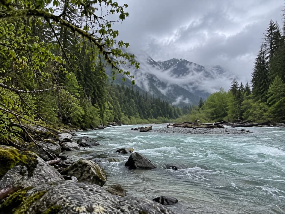
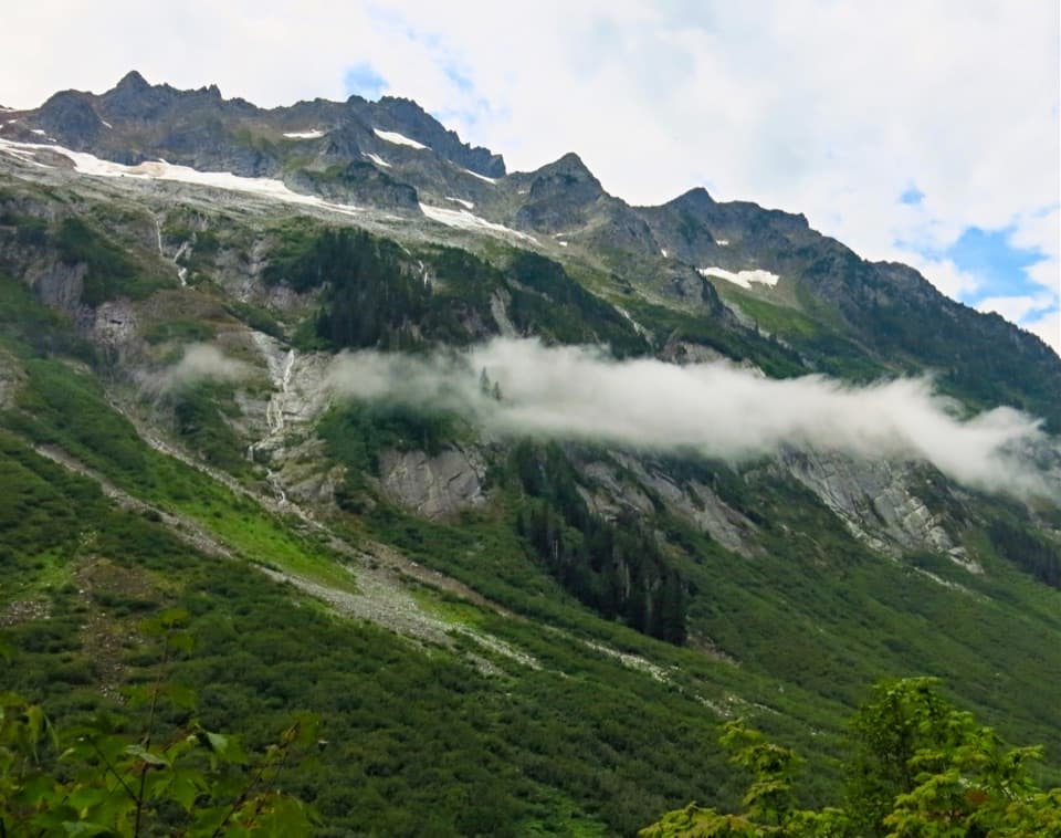
From Hannegan Trailhead, the route climbs to Hannegan Pass at 5,060 feet, drops into the Chilliwack drainage, then works through Brush Creek and Little Beaver before crossing Whatcom Pass at 5,200 feet. The route descends through Big Beaver and crosses Beaver Pass at 3,654 feet on the way to Ross Dam. The northern unit has low trail density and a vast wilderness around the Picket Range, so expect long stretches of remote valleys between the high crossings.

Old-growth cedar and a Ruth Creek viewOne of the route's distinctive stretches passes the park's largest stand of massive old-growth…

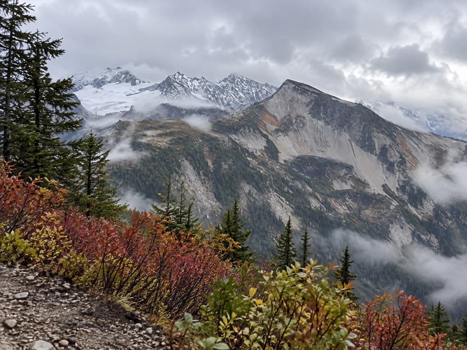
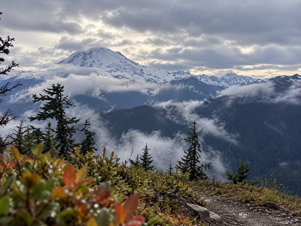
One of the route's distinctive stretches passes the park's largest stand of massive old-growth western red cedars. Near the Hannegan end, look from Hannegan Pass Trail across Ruth Creek valley toward Mount Sefrit's jagged eastern ridge. The ridge, snow patches and cloud bank make a particularly good composition when the view is clear enough to see the crest.

Navigation and crossingsRoute-finding is part of the trip.

Route-finding is part of the trip. Much of the Pacific Northwest Trail is unsigned, and its route options can change; take the current official strip maps and an offline backup, and know how to use both. Little Beaver is not regularly maintained and can be difficult to follow. Perry and Redoubt Creek crossings can be difficult early in the season, so do not assume that a foot log will be present or usable.

Permits and self-supportA backcountry permit is required year-round for overnight stays in North Cascades National Park…

A backcountry permit is required year-round for overnight stays in North Cascades National Park and Ross Lake National Recreation Area, and camping is limited to designated sites. Plan camps and permits before setting out. Dogs are not allowed on trails in the National Park, so leave them behind for this traverse. No on-route food service or other visitor amenities were verified; plan to carry your meals and a water-treatment system for a self-supported trip.

Start, finish and road accessBegin at Hannegan Trailhead at the end of Forest Road 32 and finish at Ross Dam Trailhead from…

Begin at Hannegan Trailhead at the end of Forest Road 32 and finish at Ross Dam Trailhead from State Route 20. Parking capacity, fees and amenities were not established in the sources checked. Check road and trail access before the trip and arrange transport between the two trailheads.

Wildlife

Wildlife in North Cascades

All North Cascades wildlife maps

Sighting maps show where each species has been reported across North Cascades. Wildlife moves, so no sighting is guaranteed.

Parkwolf’s North Cascades ranking

Top-rated trails in North Cascades

All 88 trails
  1. 1Sahale Arm TrailChallenging · 11.8 mi
  2. 2Cascade Pass TrailModerate · 7.4 mi
  3. 3Heather–Maple Pass LoopChallenging · 7.2 mi
  4. 4Hidden Lake TrailChallenging · 9 mi
  5. 5Copper Ridge / Chilliwack River LoopChallenging · 33.5 mi
  6. 6Thunder Knob TrailModerate · 3.8 mi

Take Parkwolf to North Cascades.

The audio tour guide for the drive, plus offline maps, trails, and wildlife heatmaps for when the signal drops.

4.7 from 8,600+ ratings

Download Parkwolf on the App StoreGet Parkwolf on Google Play