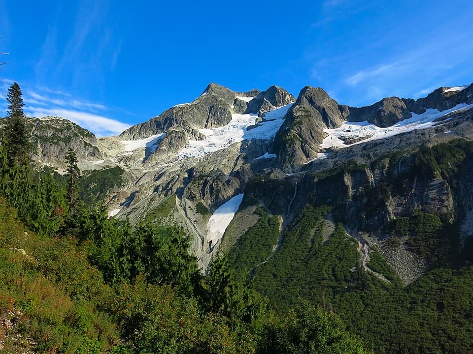
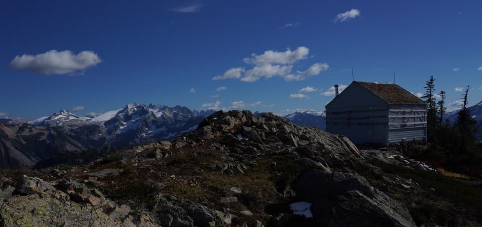
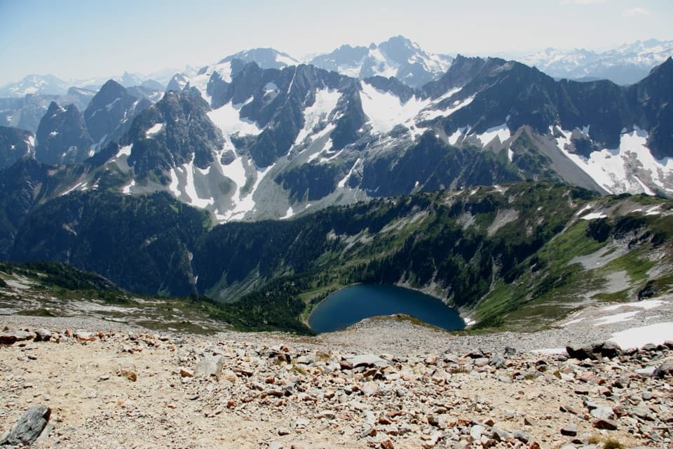
This is for experienced backpackers prepared for long climbs, rough trail and remote camps. Plan about 80 hours of hiking spread across roughly 8–10 days; that schedule is an estimate, since no full-route time or total elevation gain is published. The published itinerary is 105 miles, but the connected line shown here measures about 93 miles. No complete route file was available to reconcile the roughly 12-mile gap. Plan around 105 miles and compare junctions with current agency maps before starting.
The route is point to point: reach Hannegan at the north end, then arrange your finish from High Bridge in Stehekin. There are no food services along the traverse. Carry your meals and a way to treat water, and plan the shuttle and return connections before choosing a finish day.