Brush Creek Trail to Whatcom Pass in North Cascades National Park

North Cascades National Park, WA

Brush Creek Trail to Whatcom Pass

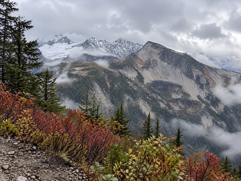
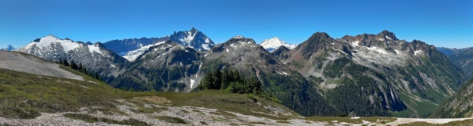
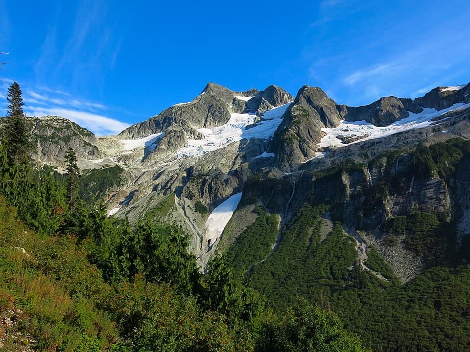
Challenger Glacier and Little Beaver valley open up from this remote pass.

Photo: Wikimedia Commons
Length
9.5mi
Time
8hr
Elev. change
2,451ft
Difficulty
Challenging
  • No dogs
  • High point 5,243 ft
Parkwolf audio tour83 stories across North Cascades’s roads

Overview

About Brush Creek Trail to Whatcom Pass

Why go

  • Broad views toward Challenger Glacier and Little Beaver valley.
  • A remote pass detour with onward routes for multi-day hikers.

Heads up

  • The Brush Creek junction is about a 12-mile backcountry approach from Hannegan Trailhead before the pass hike starts.

Map & elevation

The route

Loading the North Cascades map
Full map
Elevation2,792–5,243 ft
TrailheadBrush Creek Trail junction east of Chilliwack River crossing48.90644, -121.42166
Keep this map with you offline in the Parkwolf app

Plan your hike

Before you go

Parking

The nearest road access is Hannegan Trailhead at the end of Hannegan Road (Forest Road 32); there is no vehicle access at the Brush Creek junction. Parking requires a Northwest Forest Pass or America the Beautiful pass. From Hannegan, the junction is about a 12-mile approach via Boundary Camp and the Chilliwack River Trail.

Safety

The approach crosses the Chilliwack River; ford only at low water and use the cable car when water is higher. Pets are prohibited beyond Boundary Camp. Overnight stays require a limited backcountry permit.

7 active North Cascades alerts

  • ClosureWildfire closures and Stehekin fire advisoryWildfire-related closures remain in effect; stay out of all closed trails, camps, and areas.Official details
  • CautionCampfires banned across the park complexCampfires and other ash-producing fires are banned throughout the North Cascades National Park Service Complex.Official details
See all 7 alerts
A park ranger sits on a dash-mounted phone, talking, as Parkwolf’s Tour Guide plays “Army Cutworm Moths: A Grizzly Bear Buffet” on Grand Loop Road below Dunraven Pass in Yellowstone
Parkwolf Tour GuideThe highest, rockiest slopes around here are a summer buffet for grizzly bears.

North Cascades Tour Guide

Your drive to Brush Creek Trail to Whatcom Pass, narrated.

Parkwolf is a GPS audio tour guide for North Cascades National Park. As you drive, it chimes in with what’s ahead: hidden gems, upcoming stops, history, geology, and wildlife, right through your car’s speakers.

See the North Cascades audio tour
  • 83 audio storiesacross North Cascades’s roads, triggered by GPS as you drive
  • Wildlife heatmapsfor Mountain Goat, Black Bear, Mule Deer, and 10 more
  • Works offlinemaps, 88 trails, 76 places, and audio download before you lose signal
  • CarPlay readysimple controls built for the drive
★★★★★
“Fantastic app with many points of information… It’s great to just turn on while you’re driving and it gives you an audio tour of the national Park. We love it!!!!”
JMJamesApp Store review
Download Parkwolf on the App StoreGet Parkwolf on Google Play

4.7 from 8,600+ ratings

Trail guide

Hiking Brush Creek Trail to Whatcom Pass

A remote pass side tripBrush Creek Trail is a strenuous out-and-back from the remote Chilliwack River crossing to…

Brush Creek Trail is a strenuous out-and-back from the remote Chilliwack River crossing to Whatcom Pass. The mapped corridor runs about 4.8 miles each way, or about 9.5 miles round trip. Field estimates vary, so budget around 10 miles. The climb is roughly 2,500 feet by terrain samples, an estimate rather than a published trail figure; allow a full day, about eight hours for the segment alone. The long approach from a road is separate.

Getting to the Brush Creek junctionThe nearest road access is Hannegan Trailhead.

The nearest road access is Hannegan Trailhead. From there, the route reaches Boundary Camp after 5 miles, then the Brush Creek junction is another 7 miles down the Chilliwack River Trail, just east of the river crossing. That is about 12 miles to the start of the side trip, so plan it as part of a multi-day route, not a day hike. If the river is high, the NPS directs hikers to use the cable car; ford only at low water. Overnight stays require a limited backcountry permit.

Up through the burn-scarred valleyBrush Creek Trail climbs past Graybeal Camp about 2 miles up the valley to Whatcom Camp just…

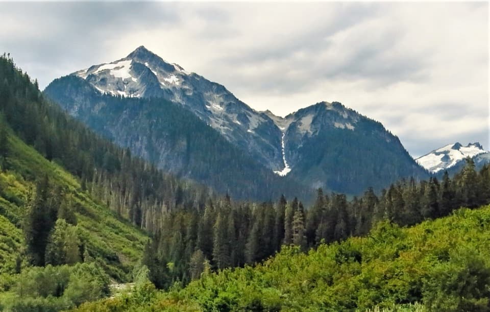
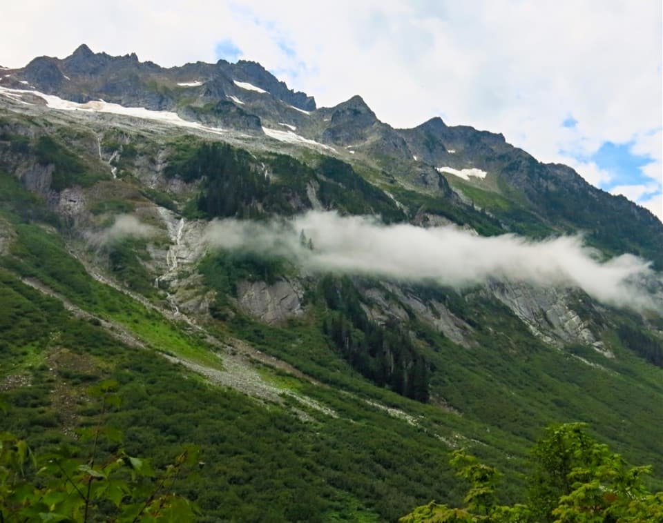
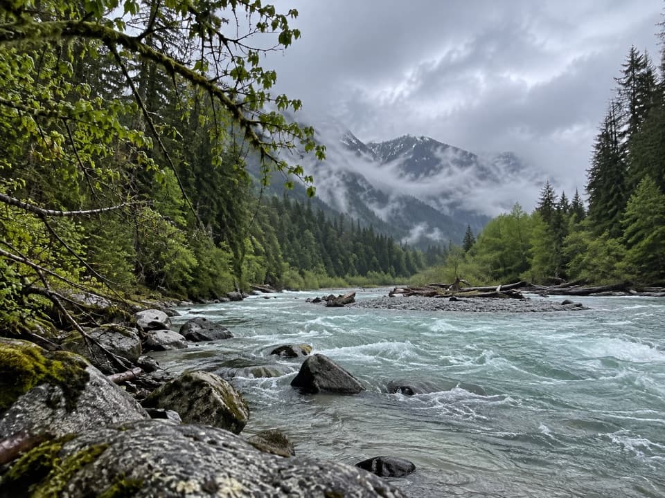
Brush Creek Trail climbs past Graybeal Camp about 2 miles up the valley to Whatcom Camp just before the pass. The upper valley is open in places after wildfire, leaving less shade. This route was closed for three years after fire damage; trail crews later cleared burned logs and rebuilt eroded tread. That recovery is part of what makes this remote corridor different from an easy graded walk.

Whatcom Pass and beyondAt the pass, the view opens toward Challenger Glacier and Little Beaver valley.

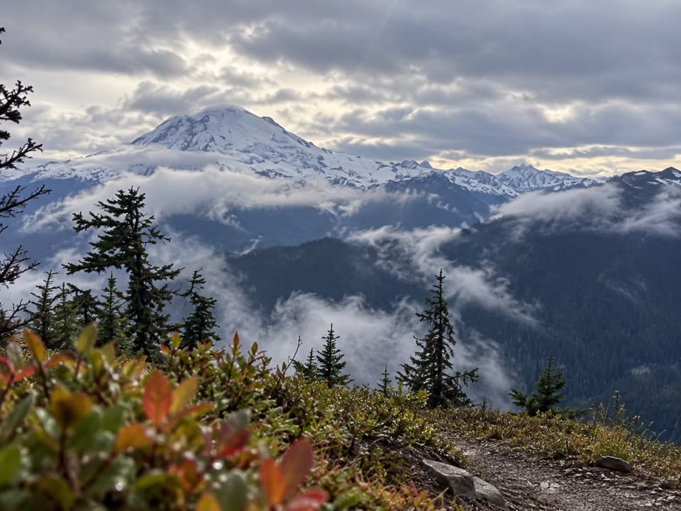
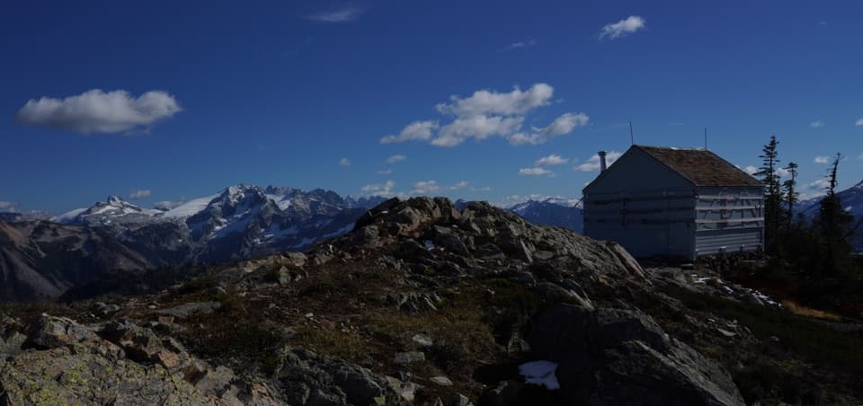
At the pass, the view opens toward Challenger Glacier and Little Beaver valley. Turn around and return down Brush Creek, or continue on a longer backcountry route toward Ross Lake via Little Beaver or Big Beaver; those extensions are separate hikes. The Tapto Lakes basin is a steep cross-country extension and is not part of this trail. For a phone photo, include a nearby ridge in the foreground with the glacier beyond to show the scale of the valley.

Bears and overnight planningBlack bears are frequently seen in the area.

Black bears are frequently seen in the area. Hard-sided food canisters are strongly recommended at Whatcom Camp because suitable tree limbs for hanging food are limited. Pets are prohibited beyond Boundary Camp, so do not bring a dog on this route. Check current trail and campsite conditions before setting out.

Wildlife

Wildlife in North Cascades

All North Cascades wildlife maps

Sighting maps show where each species has been reported across North Cascades. Wildlife moves, so no sighting is guaranteed.

Parkwolf’s North Cascades ranking

Top-rated trails in North Cascades

All 88 trails
  1. 1Sahale Arm TrailChallenging · 11.8 mi
  2. 2Cascade Pass TrailModerate · 7.4 mi
  3. 3Heather–Maple Pass LoopChallenging · 7.2 mi
  4. 4Hidden Lake TrailChallenging · 9 mi
  5. 5Copper Ridge / Chilliwack River LoopChallenging · 33.5 mi
  6. 6Thunder Knob TrailModerate · 3.8 mi

Take Parkwolf to North Cascades.

The audio tour guide for the drive, plus offline maps, trails, and wildlife heatmaps for when the signal drops.

4.7 from 8,600+ ratings

Download Parkwolf on the App StoreGet Parkwolf on Google Play