Moderate

Flat Creek Trail

Remote Stehekin valley stroll to big cedars and a tricky ford
Flat Creek Trail, North Cascades National Park
Distance6.6 mi
Typical time3 hr
DifficultyModerate
PetsNot allowed

Overview

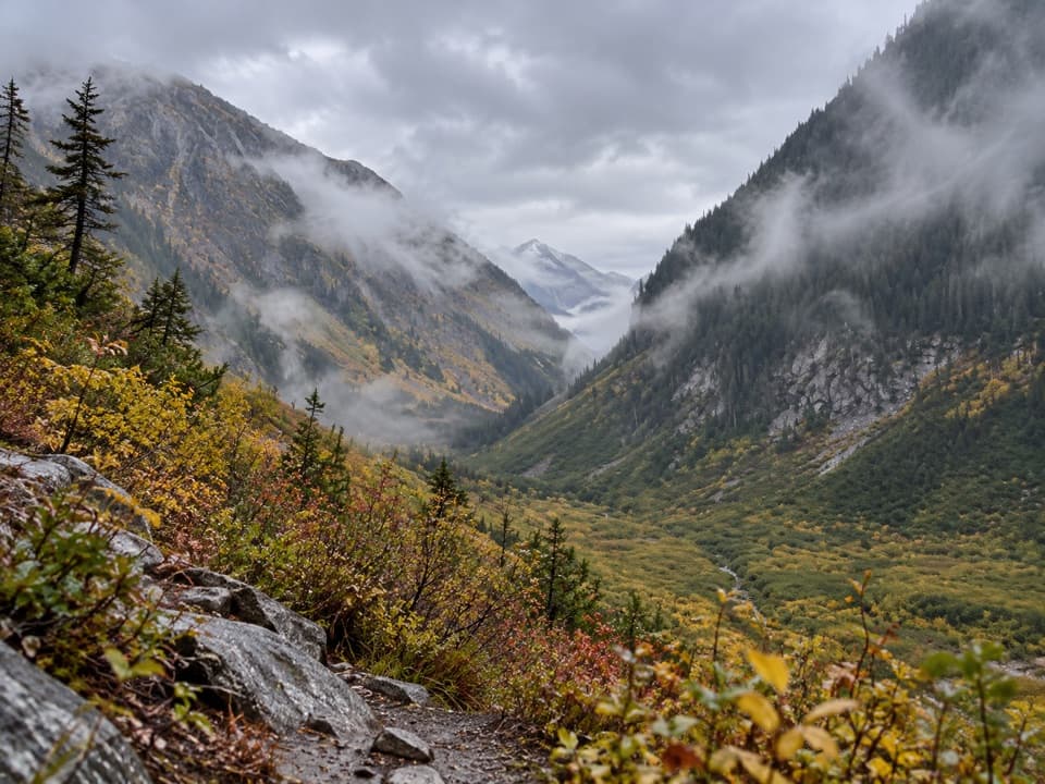
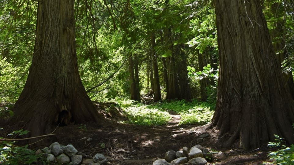
A quiet, remote valley walk with real variety: a rushing river gorge, a recovering burn, peekaboo mountain views, and—best of all—a grove of massive old-growth western redcedars. Most hikers treat Flat Creek as a 6.6-mile round trip to the unbridged West Fork ford and turn around there. Expect gentle grades and a lightly used feel.

The Route Experience

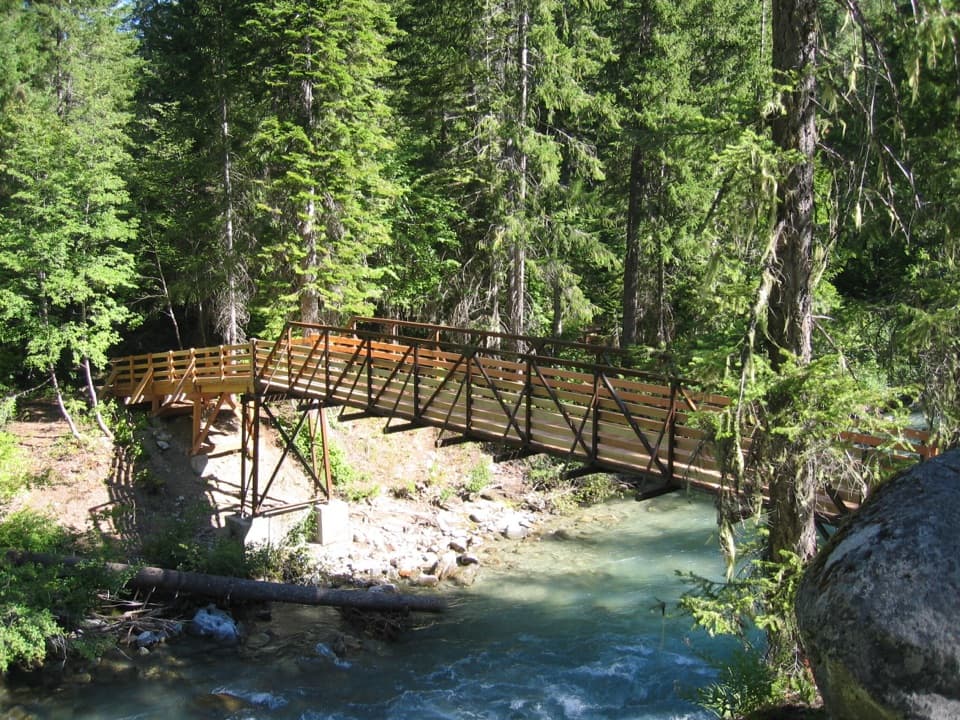
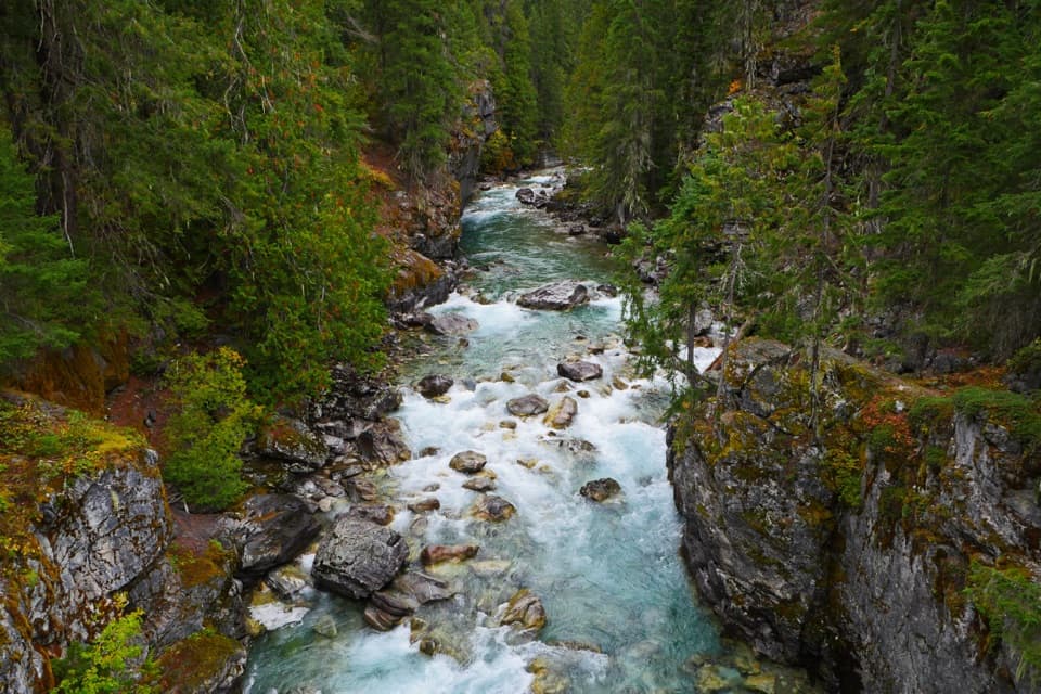
Right out of the gate you cross a bridge over a narrow gorge of the Stehekin River—linger to watch for American dippers working the current. The first two miles traverse the 2001 burn: charred snags, colorful fireweed, and the tap-tap of woodpeckers. Occasional openings give you glimpses toward a fin of rock known as Peak 6062. Past two miles, you enter Glacier Peak Wilderness and the forest quickly closes in. At about 3.3 miles, you reach a standout grove of enormous redcedars near the West Fork Flat Creek. This is the common turnaround: there’s no bridge, and the ford can be unsafe in higher flows. A faint, brushier path continues beyond, but it’s a choose-your-own-adventure best left for low water and experienced hikers.

Access and Logistics

This is an Upper Stehekin Valley hike with no private-vehicle access to the trailhead. You reach it via the old Stehekin Valley Road (now a trail): about 13.4 miles from Cascade Pass, roughly 8 miles from High Bridge via the Old Wagon Trail and old road, or about 15.4 miles from SR 20 via Bridge Creek and the old road. In other words: plan this as a day hike from a backcountry camp or build it into a multi-day itinerary—don’t expect an easy out-and-back from a roadside lot.

Regulations and Camping

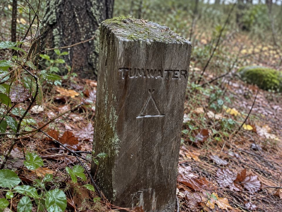
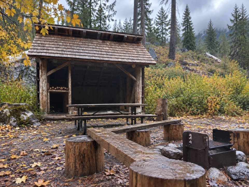
Within the first two miles (inside the park), camping is limited to designated sites and an overnight permit is required anywhere in the park backcountry. No pets, bikes, or other mechanized/motorized gear. You may meet stock; step off on the downhill side and speak to the lead rider so the animals see you. A signed spur for Flat Creek Camp exists but it is closed due to hazard trees. Beyond two miles you’re in designated wilderness with its own rules—leave no trace either way.

Conditions and Cautions

Upper sections can be brushy—long pants are smart. The West Fork ford at 3.3 miles is unbridged and may be impassable during spring snowmelt; if the water is high or turbid, turn around. Blowdowns and brushwork come and go with the seasons, so expect variability. Always check current park alerts for closures and fire restrictions before committing to your plan.

Best Time to Hike

Mid to late summer into fall offers the most reliable conditions and friendliest creek levels. Mornings bring calm light in the gorge and better chances to spot dippers; late-day light is lovely in the cedar grove. Shoulder seasons can be rewarding, but spring runoff commonly shuts down the ford.

If You’re Choosing Between Hikes

If you’re not already in the Upper Stehekin backcountry, this outing is a lot of effort to reach. For more accessible, big-reward day hikes in the same park complex, consider well-traveled classics like Cascade Pass or Maple Pass Loop.

Pros

  • Giant western redcedar grove right before the West Fork ford
  • Reliable American dipper viewing from the Stehekin River bridge

Cons

  • No road access; long approach just to reach the trailhead
  • Unbridged West Fork ford often unsafe in spring and early summer
  • Brushy, faint tread beyond the ford with trickier navigation

Parking

No direct parking at the trailhead. Reach it on foot via the old Stehekin Valley Road: 13.4 miles from Cascade Pass, ~8 miles from High Bridge via the Old Wagon Trail and old road, or 15.4 miles from SR 20 via Bridge Creek. Stage your vehicle at those access points and plan a backpacking approach.

Caution

Unbridged creek crossing at 3.3 miles can be impassable in high water; upper trail is brushy; no pets or mechanized use; camping in the first 2 miles is designated sites only with a permit; Flat Creek Camp is closed due to hazard trees; verify current closures and fire restrictions before you go.

The Parkwolf tour guide sitting on a phone mounted in a car

Parkwolf Tour Guide

Like a tour guide in your car.

Bring North Cascades trail research into the car, with offline maps and stories that play as you drive.Download Parkwolf on the App Store