Parking
No drive-up access at Park Creek Camp. From Stehekin Landing, take the shuttle to High Bridge, then walk 7.5 miles via the Old Wagon and Upper Stehekin Valley trails to the junction. That access leg is separate from the trail’s 8 miles.

North Cascades National Park, WA
A remote 8-mile climb to a pass between Logan and Buckner
Overview
Map & elevation
Plan your hike

The highest, rockiest slopes around here are a summer buffet for grizzly bears.
North Cascades Tour Guide
Parkwolf is a GPS audio tour guide for North Cascades National Park. As you drive, it chimes in with what’s ahead: hidden gems, upcoming stops, history, geology, and wildlife, right through your car’s speakers.
See the North Cascades audio tourMore stories near here in the app
“Fantastic app with many points of information… It’s great to just turn on while you’re driving and it gives you an audio tour of the national Park. We love it!!!!”


Trail guide
Park Creek Trail is an 8-mile point-to-point backcountry segment from Park Creek Camp, at the Upper Stehekin Valley old-road junction, to Park Creek Pass. The eight miles cover only this trail segment. From camp to the pass, expect about 3,800 feet of climbing; in the reverse direction, the route drops by the same amount. Allow roughly seven hours for this leg, before adding the access walks. This is a remote through-route, not an eight-mile walk from a parking lot.
There is no drive-up access at either endpoint. From Stehekin Landing, the route starts with a shuttle to High Bridge, then a mostly flat 7.5-mile walk on the Old Wagon and Upper Stehekin Valley trails to Park Creek Camp. That connector is not included in the eight miles. The upper valley route follows the old road; floods in 1995, 2003 and 2006 washed out its upper stretch. At the north end, Park Creek Pass joins the Thunder Creek trail system; the 19.6-mile SR 20 approach is a separate hike. Plan the through-route and transport before setting out.
From Park Creek Camp the trail climbs through forest, including big-leaf and vine maples. It crosses Park Creek on an improved log crossing just before the small Two Mile Camp, then contours up forested slopes toward creek-side Five Mile Camp. Two Mile was rearranged by the 2003 floods and now has only one small site. Beyond Five Mile, the trees give way to willowy meadows and a hanging valley as the route climbs toward the pass.
The trail reaches a steep notch at about 6,100 feet, between Mount Logan and Mount Buckner, with views into both valleys. The last climb goes through heather and wildflower meadows; on the way down, look back toward Buckner and its hanging glaciers. The pass often holds snow into late June or July, and an ice axe may be needed for early-season travel. Stay off the fragile pass meadows: camping is not allowed at the pass.
Five Mile and Two Mile are designated backcountry camps along the route, but overnight stays require a limited backcountry permit. Pets are prohibited south of McAllister Camp, including this entire trail segment. The park rates the route moderate to strenuous; the elevation, snow and long access legs make it a serious backcountry commitment even though the mapped trail section is eight miles one way.
Wildlife
 101 sightingsMountain GoatMost seen around 6 PMSighting map
 70 sightingsBlack BearMost seen around 8 PMSighting map
 20 sightingsMule DeerMost seen around 7 PMSighting map
 77 sightingsSooty GrouseMost seen around 6 AMSighting map
 23 sightingsWhite-tailed PtarmiganMost seen around 6 PMSighting map
 75 sightingsWestern ToadMost seen around 8 PMSighting map
Sighting maps show where each species has been reported across North Cascades. Wildlife moves, so no sighting is guaranteed.
Keep exploring
 ModerateFlat Creek Trail6.6 mi · 3.5 hr · 0.4 mi awayA remote valley walk through fire recovery to old-growth cedars.
 ChallengingGoode Ridge Trail10 mi · 9 hr · 2 mi awaySteep ridge climb to an old lookout with wide Cascade views.
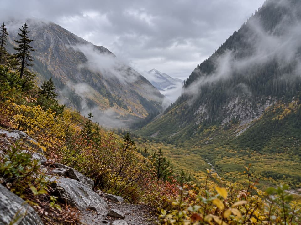 ModerateUpper Stehekin Valley Trail7 mi · 4 hr · 2.2 mi awayA remote old road connects two backcountry camps in Stehekin Valley.
 ModerateNorth Fork Bridge Creek Trail13 mi · 8 hr · 3.8 mi awayA long PCT spur into a creek valley below Mount Goode.
 EasyAgnes Gorge Trail5 mi · 3 hr · 4.8 mi awayAn easy forest walk to a narrow gorge and waterfall.
 ChallengingMcGregor Mountain Trail15 mi · 12 hr · 4.9 mi awayA punishing climb to Heaton Camp and far-reaching Stehekin views.
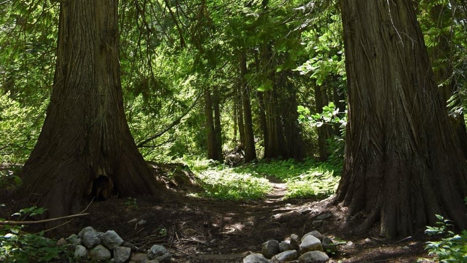 EasyOld Wagon Trail to Bridge Creek Camp5.3 mi · 3 hr · 4.9 mi awayA gentle one-way walk through cedar groves to Bridge Creek Camp.
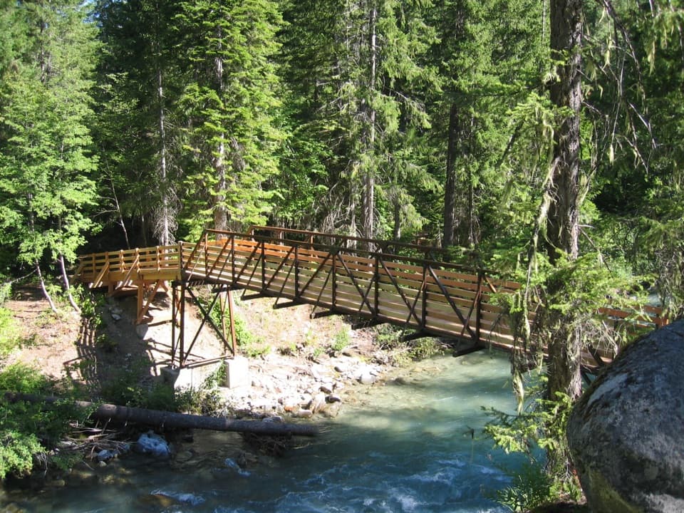 ChallengingAgnes Creek Trail10.3 mi · 8 hr · 4.9 mi awayA long walk through cedar forest to two creek cascades.
 Campground · 2.2 mi awayBridge Creek CampA river confluence camp for the trails beyond Stehekin.
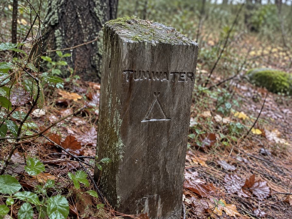 Campground · 4.2 mi awayTumwater CampA backcountry night along Stehekin’s upper valley routes.
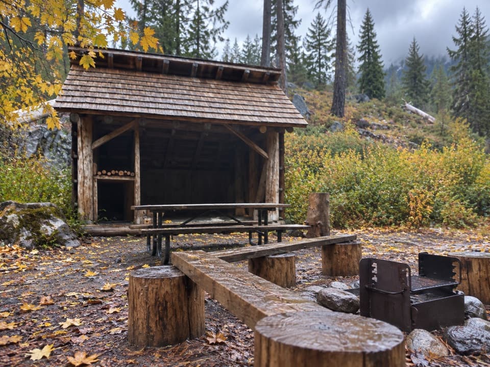 Campground · 4.8 mi awayHigh Bridge CampgroundBackcountry camp two miles beyond High Bridge.
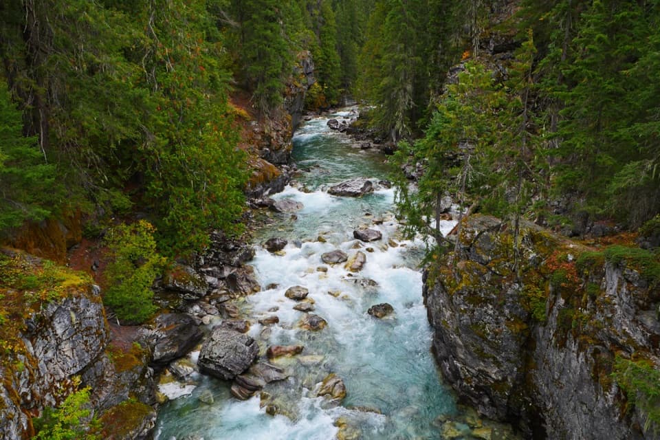 Sight · 4.8 mi awayHigh BridgeA remote Stehekin River gorge view at a historic ranger station.
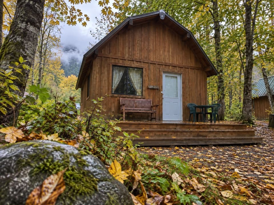 Lodging · 6.9 mi awayStehekin Valley RanchA remote stay nine miles up-valley with meals and transport included.
Parkwolf’s North Cascades ranking

The audio tour guide for the drive, plus offline maps, trails, and wildlife heatmaps for when the signal drops.




