Challenging

Goode Ridge Trail

A quiet, relentless climb to one of the park’s grandest panoramas
Goode Ridge Trail, North Cascades National Park
Distance11 mi
Typical time8 hr
DifficultyChallenging
PetsNot allowed

Overview

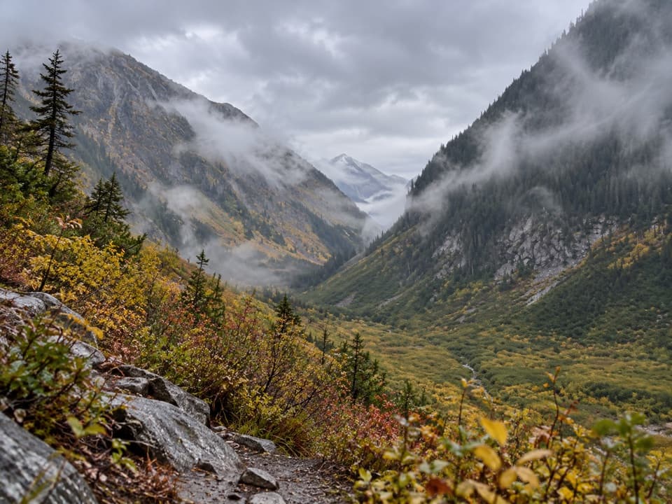
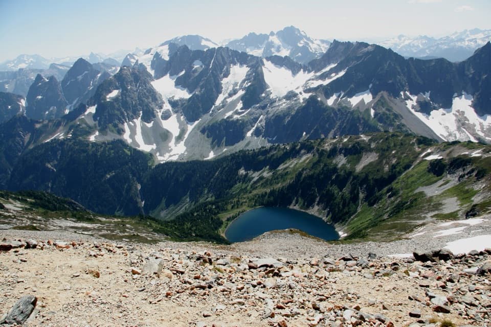
If you’re chasing huge, 360-degree views without the crowds, Goode Ridge delivers. The payoff is a former lookout site with sweeping North Cascades vistas—glaciers, waterfalls, and big peak-to-peak scenery. You’ll likely see more people on the Pacific Crest Trail below than on this ridge itself, which keeps the experience wild and quiet.

Trail Stats and Effort

From the Goode Ridge trailhead near Bridge Creek, expect roughly 11–12 miles round-trip (out-and-back) and a very stout climb that stacks most of its elevation gain into about five miles. Reports consistently describe the grade as unrelenting with almost no flats. A realistic pace for strong hikers is about 8 hours round-trip from the Goode Ridge trailhead (around 5 up, 3 down). Trail maintenance is generally solid, with deadfall cleared and brush cut to the top when crews have been through.

Scenery and What You’ll Notice

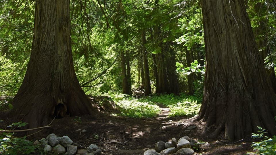
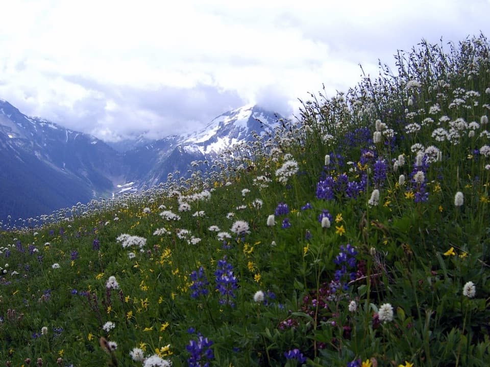
This is a views-first hike. The summit panorama is a favorite even among seasoned Cascades hikers. Along the way, you’ll pass a notable grove of hemlocks about a mile below the summit—your signal that the final push is near. In late summer, huckleberries can be abundant (and a tasty reason your pace mysteriously slows), with a few lingering wildflowers into early August. Early in the season, expect snow patches to hang on higher up.

Water, Camping, and Permits

Treat water planning seriously. There’s one reliable spring about a mile from the Goode Ridge trailhead; assume it’s your only on-route source and carry enough to reach it and back. Goode Ridge itself is day-use only—no camping on the ridge. Many hikers backpack to Bridge Creek the day before and day-hike Goode Ridge from there. Backcountry permits are required for any overnight backcountry camping in the area, and popular sites like Bridge Creek can book up—reserve early.

Access and Logistics

There’s no road to the trailhead. The most common approach is via Stehekin: take the park shuttle to its last stop at High Bridge, then hike roughly 5.5 miles on the PCT to the Goode Ridge trailhead near Bridge Creek. This multi-step approach is why the ridge stays quiet. Day-hiking the entire thing from Stehekin between shuttle runs is doable only for very fast, very fit hikers; most parties base at Bridge Creek and make Goode Ridge their big day from camp. Other long approaches exist from the State Route 20 side (via Bridge Creek or Park Creek Pass) or from Cascade Pass via the Upper Stehekin Valley route.

Best Time to Hike

Aim for summer into early fall for dry tread, clear summit views, berries, and that spring still flowing. Early August can offer the best mix of lingering wildflowers and fruit, while late summer/early fall often brings the clearest horizons. Start early for cooler temps, steadier footing on the descent, and softer morning light on the surrounding glaciers.

Tips

  • Hydrate like it’s your job. Treat the lower spring as your only dependable source and carry enough to bridge the gaps—many hikers drink around three liters on this outing.
  • Pace for a steady grind. The grade rarely lets up; plan breaks and protect your downhill legs.
  • Expect solitude. Be self-sufficient with navigation, layers, and an exit plan; you may not see anyone once you leave the PCT.

Pros

  • A reliable spring about a mile from the trailhead can refill bottles late summer
  • Rare solitude thanks to the shuttle and backcountry approach puzzle
  • Old lookout site offers true 360-degree summit-style views

Cons

  • Day-use only on the ridge—no camping—so logistics hinge on a backcountry basecamp
  • Long, multi-step approach via shuttle and PCT before the real climbing starts
  • Nearly no flat sections; the unbroken grade can punish knees on descent

Parking

No direct road access. Most hikers take the Stehekin shuttle to High Bridge, then hike ~5.5 miles on the PCT to the Goode Ridge trailhead near Bridge Creek. Alternative approaches exist from SR 20 or via Cascade Pass; there is no parking at the actual trailhead.

Caution

Day-use only on the ridge; no camping. Treat the lower spring as the only reliable water. Expect a nonstop, steep climb with limited bailout options and likely solitude—be self-sufficient. Snow patches can linger early season.

The Parkwolf tour guide sitting on a phone mounted in a car

Parkwolf Tour Guide

Like a tour guide in your car.

Bring North Cascades trail research into the car, with offline maps and stories that play as you drive.Download Parkwolf on the App Store