
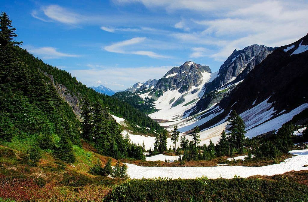
All North Cascades trails
88 trails
 1Sahale Arm TrailSteep talus and huge glacier views above Cascade Pass.
 2Cascade Pass TrailA long switchback climb to an alpine pass beneath glacier peaks
 3Heather–Maple Pass LoopTwo passes and two lakes reward a big alpine ridge circuit.
 4Hidden Lake TrailA steep climb to a tiny lookout above a hidden alpine lake.
 5Copper Ridge / Chilliwack River LoopRidge meadows, river fords, and a cable car on one big loop.
 6Thunder Knob TrailTake the steady climb for broad views over turquoise Diablo Lake.
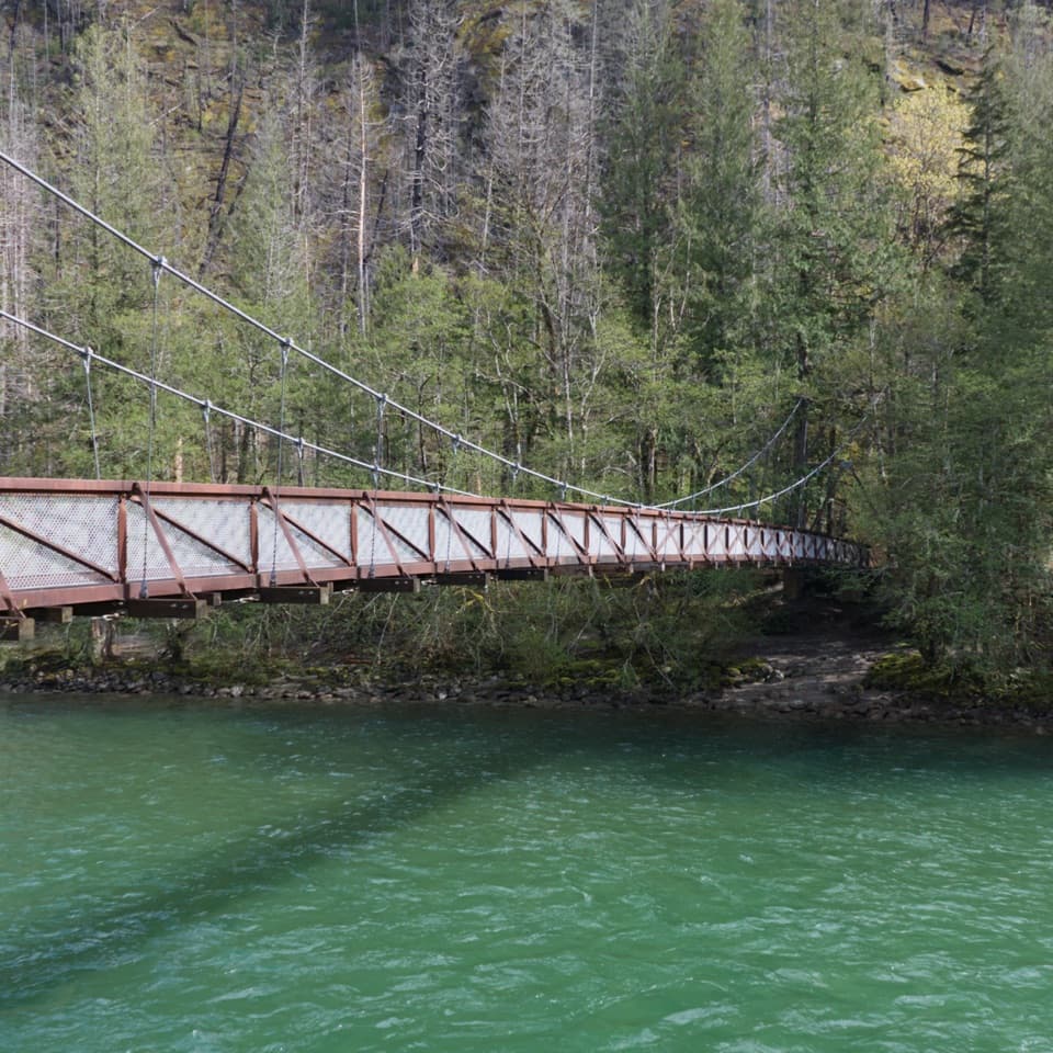 7Trail of the Cedars Nature WalkCross the suspension bridge for an easy old-growth river loop.
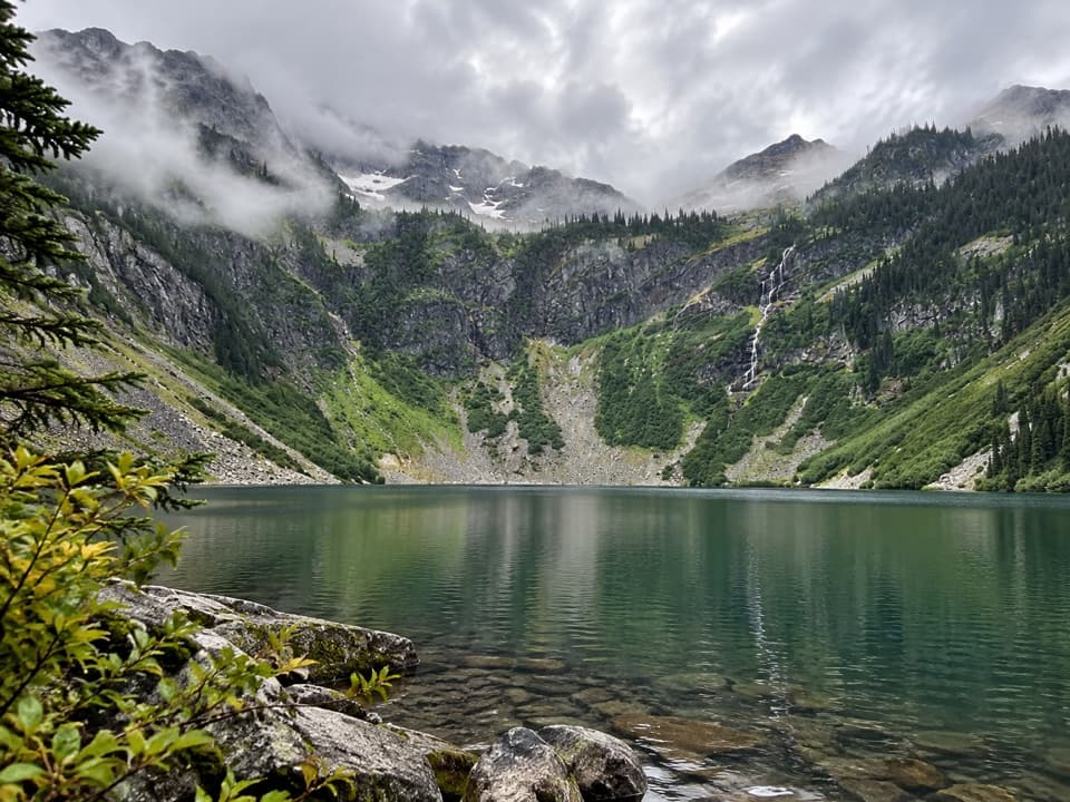 8Rainy Lake Trail #310A paved mile to a lake, waterfalls, and glacier views.
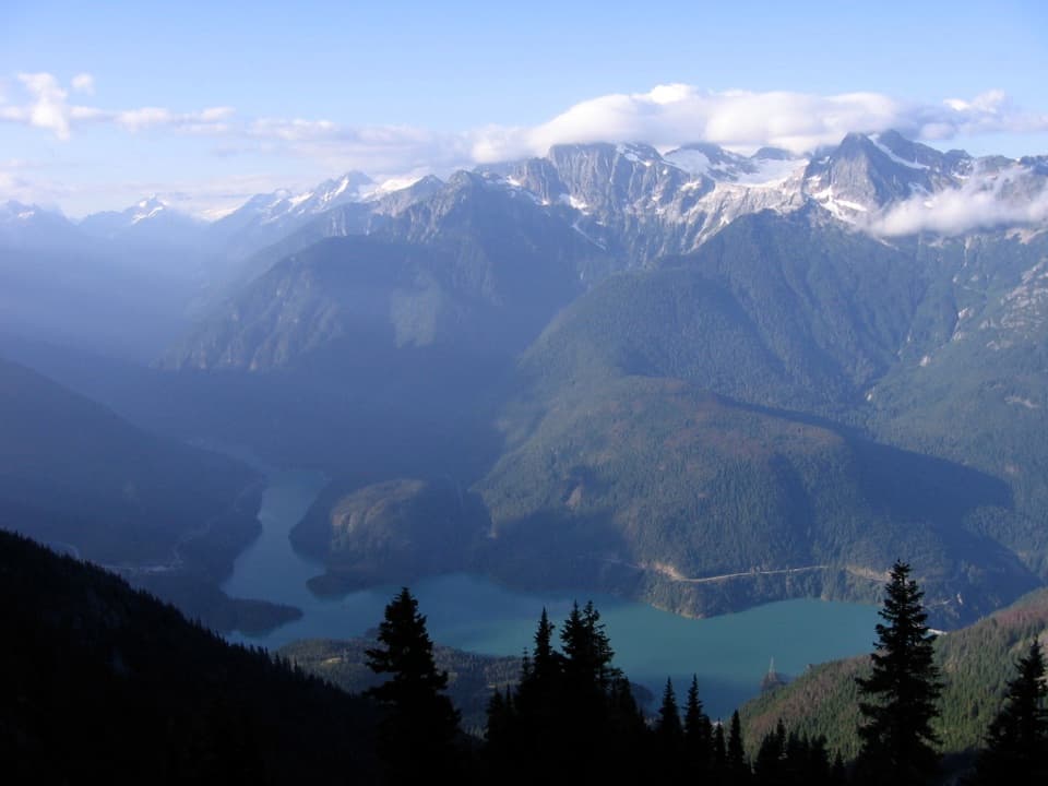 9Sourdough Mountain TrailNearly 5,000 feet of climbing for the Diablo Lake panorama.
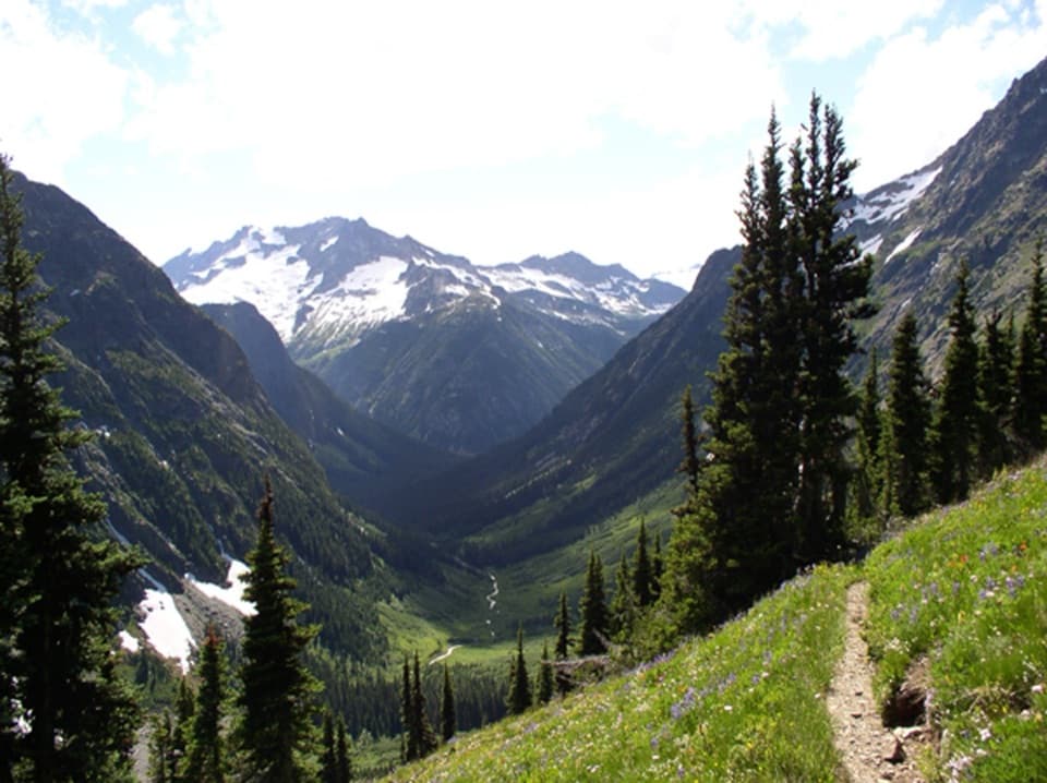 10Easy Pass TrailA steep climb to a pass between glacier peaks and fall larches.
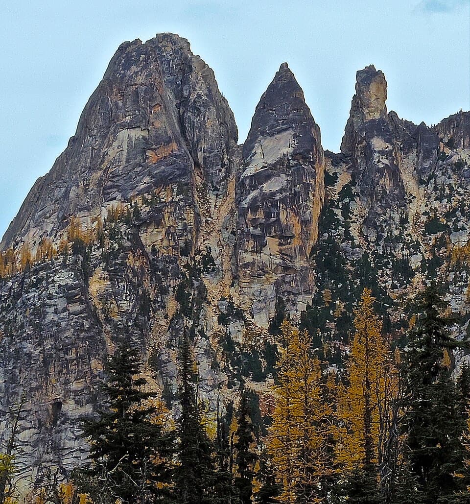 11Blue Lake TrailA shaded climb ends at a turquoise lake beneath granite towers.
 12Thornton Lakes TrailA proper alpine lake waits beyond the long forest climb.
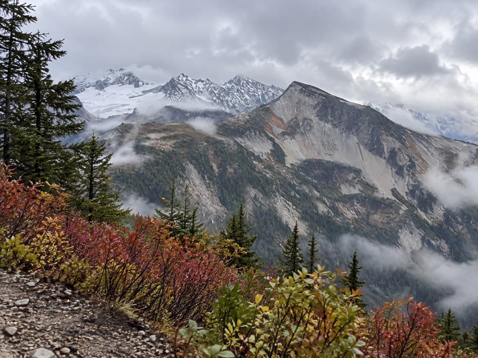 13Copper Ridge TrailSeven open ridge miles reward a demanding wilderness approach.
 14Desolation Peak TrailA steep climb to Kerouac’s historic fire lookout
 15Ladder Creek Falls TrailA half-mile waterfall loop with a hydroelectric past.
 16Thunder Creek TrailOld-growth cedars, turquoise water, and a handsome footbridge.
 17Rainbow Loop TrailA 4.4-mile traverse for Lake Chelan and Stehekin Valley views.
 18Agnes Gorge TrailAn easy forest walk to a narrow gorge and waterfall.
 19Gorge Overlook TrailA short loop with a lake, a dam and a waterfall view.
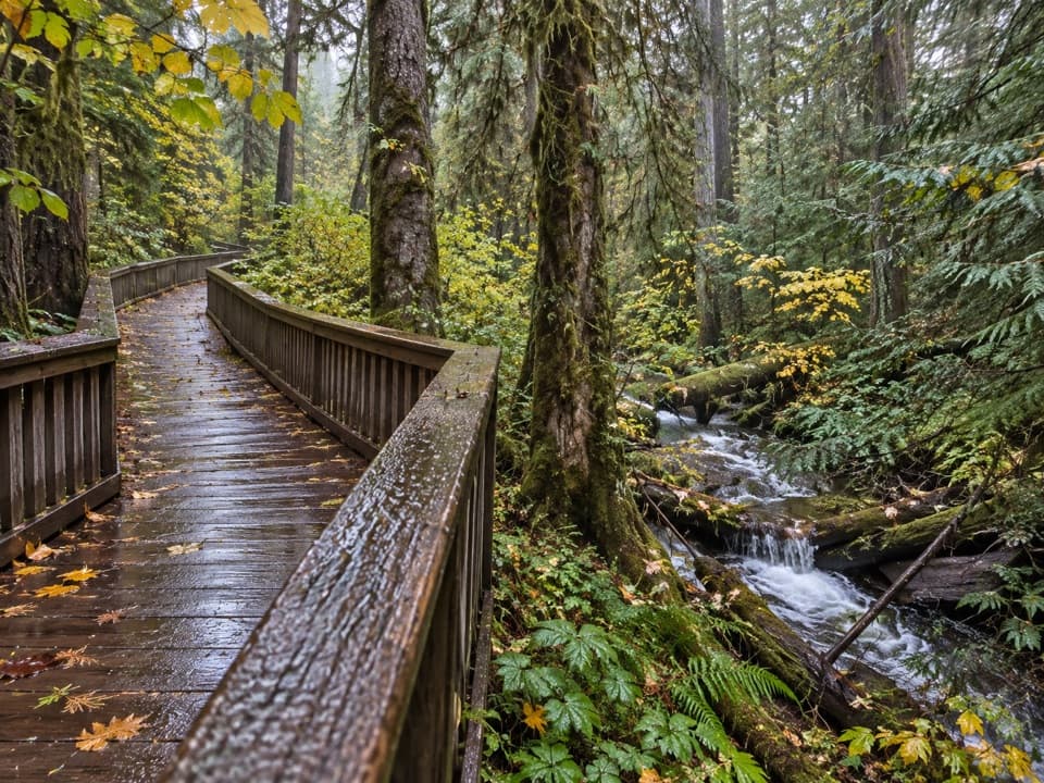 20Happy Creek Forest WalkA short boardwalk loop beside Happy Creek and old-growth trees.
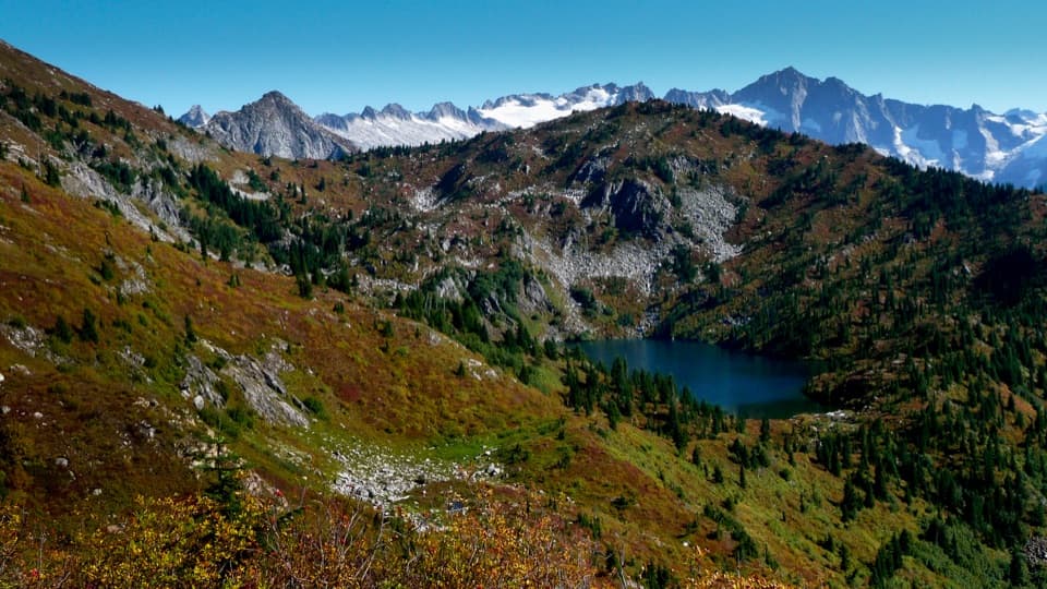 21Monogram Lake TrailA steep 10-mile return hike to a lake beneath Little Devil Peak
 22Sterling Munro TrailA brief wooden walk opens onto a Picket Range viewpoint.
 23Lake Ann Trail (Rainy Pass)A lakeshore view of the Heather–Maple Pass ridge without the long loop.
 24Diablo Lake TrailA long forest climb earns a high bridge over Diablo Lake
 25Ross Dam TrailWalk through forest to Ross Dam, then climb back to SR 20.
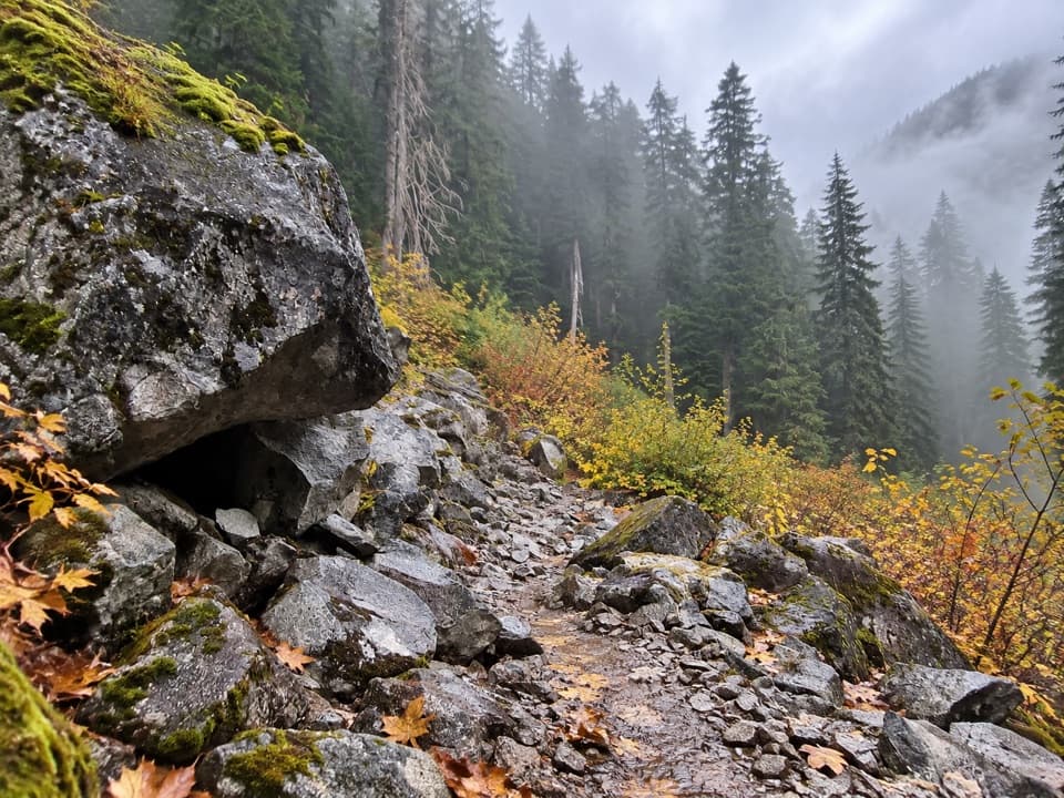 26Big Beaver TrailA long valley traverse past ancient cedars and beaver marshes.
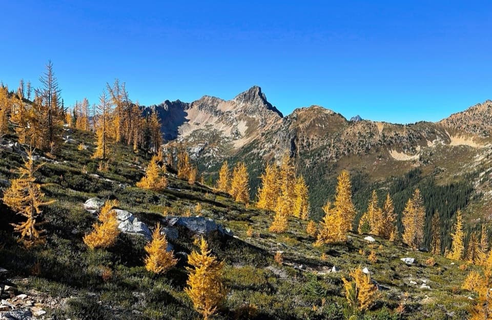 27Cutthroat Pass via Pacific Crest TrailAn alpine PCT climb to Cutthroat Pass and lake views.
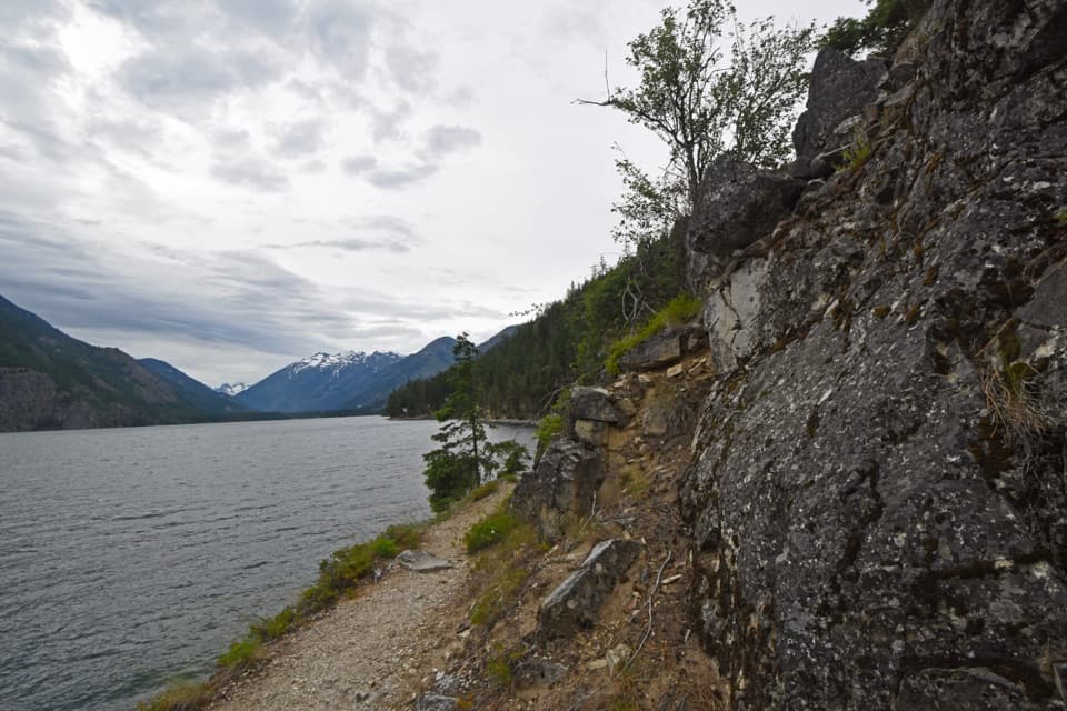 28Lakeshore TrailThe long Lake Chelan traverse ends at Prince Creek.
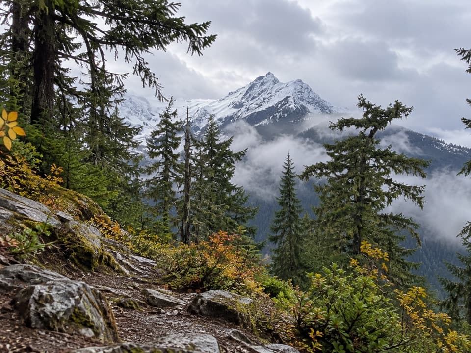 29Fourth of July Pass via Thunder CreekA shady creek walk gives way to steep climbing and glacier views.
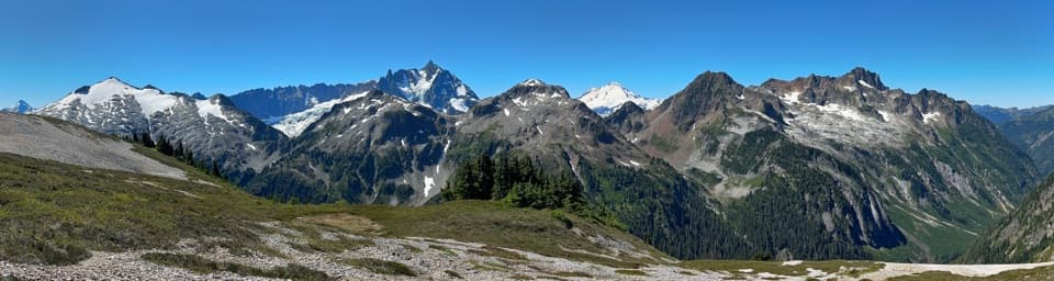 30Hannegan Pass and Peak TrailA steep summit spur turns a pass hike into an all-day climb.
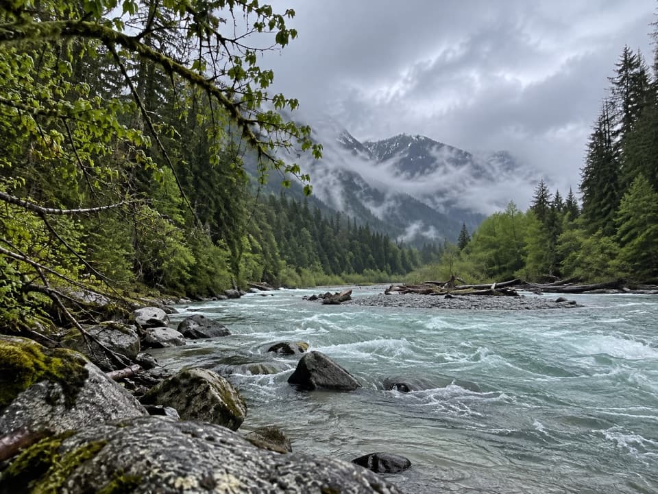 31Baker River Trail 606A gentle 5.2-mile river walk to Sulphide Creek Camp.
 32Rainbow / McAlester Pass LoopA four-day loop links two high lakes across two rugged passes.
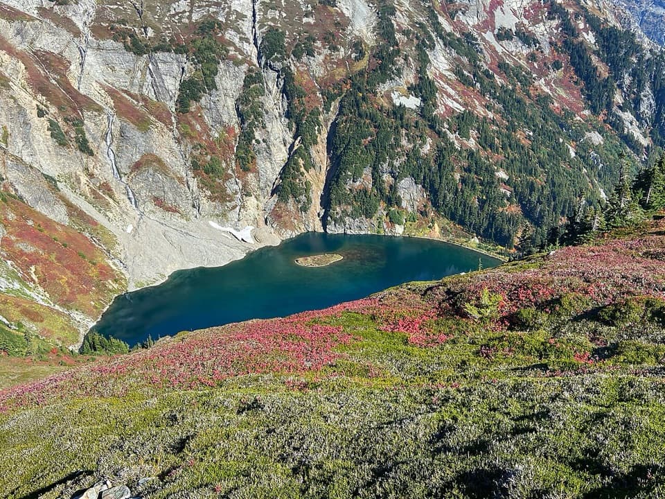 33Doubtful Lake TrailAn alpine lake spur tucked below Sahale Arm's glacier.
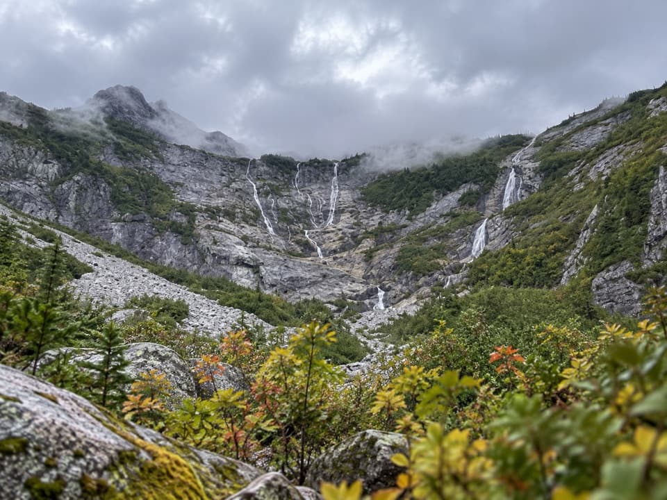 34Horseshoe Basin TrailA steep, brushy spur climbs to a waterfall-filled alpine cirque.
 35Lookout Mountain TrailA steep switchback climb to a historic summit lookout
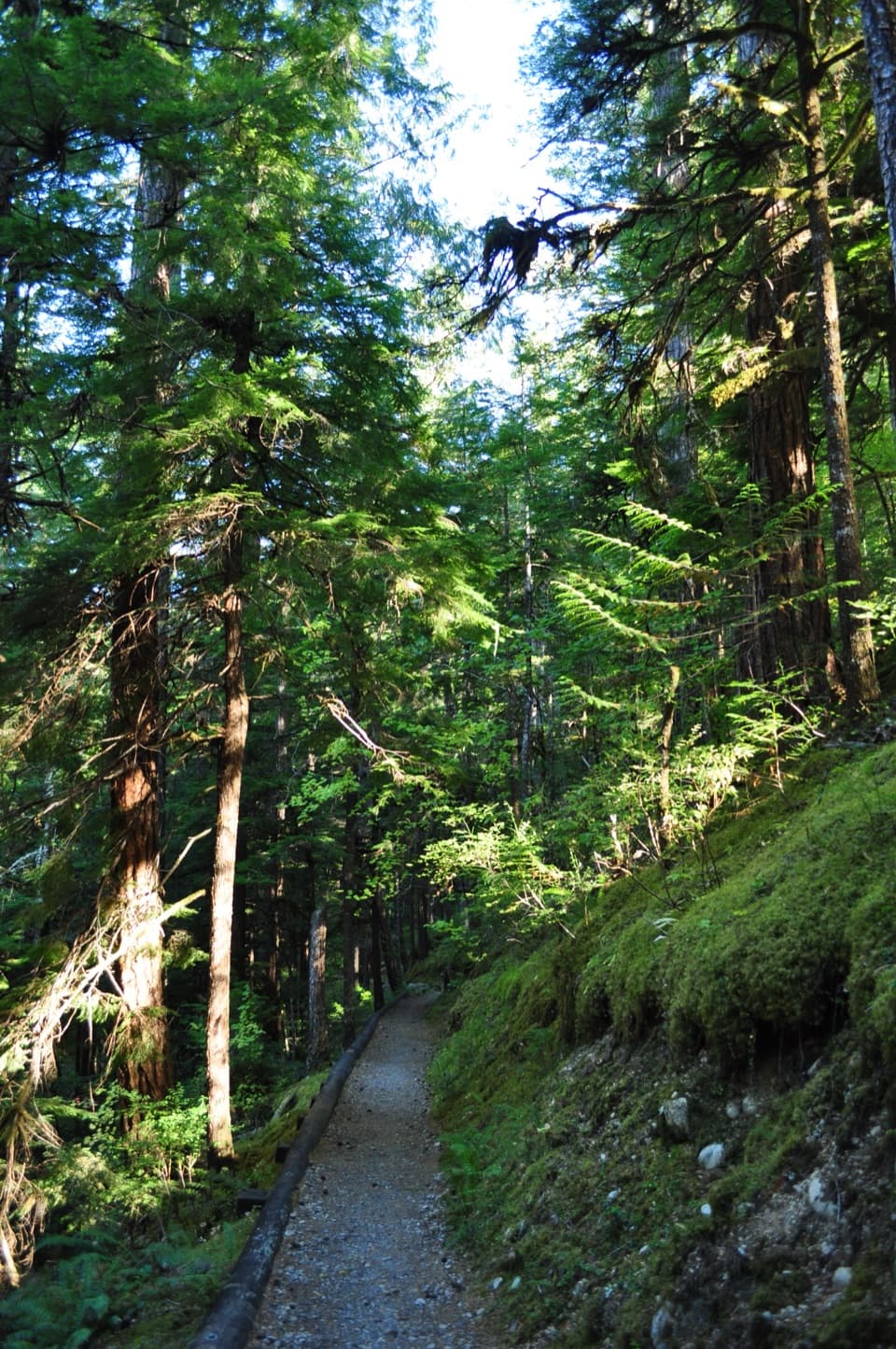 36River Loop TrailA forest loop to a gravel bar with broad Skagit River views.
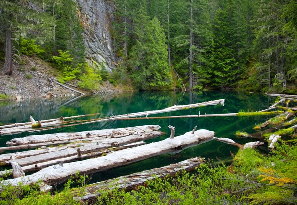 37Pyramid Lake TrailSteep miles to a tiny lake threaded with floating logs.
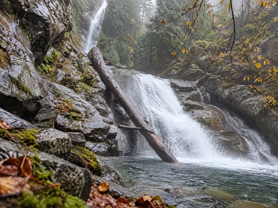 38Rainbow Mist TrailTwo viewpoints bring you close to a 312-foot waterfall.
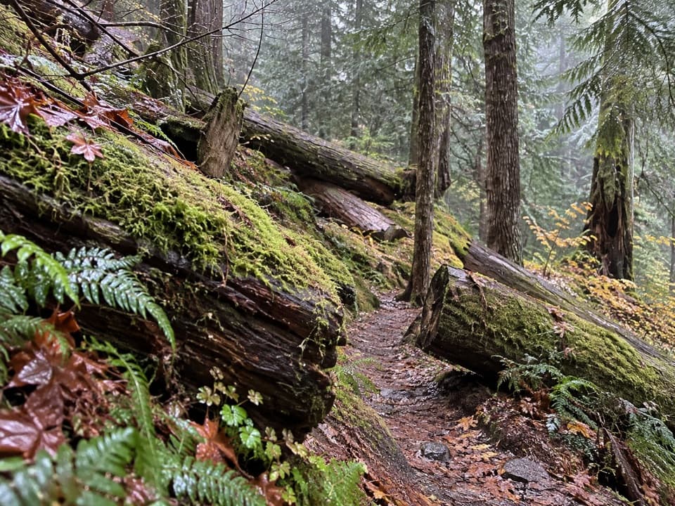 39Thunder Woods Nature TrailA short mossy loop with loose rocks where steady footing helps.
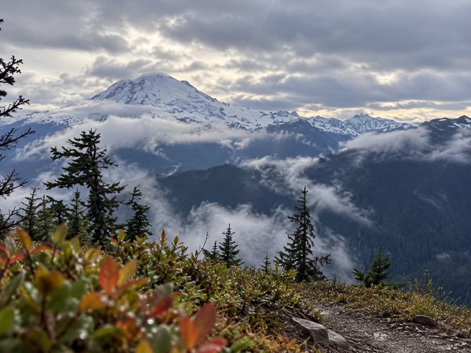 40Shannon Ridge TrailA steep forest climb earns a long ridge view over Baker Lake.
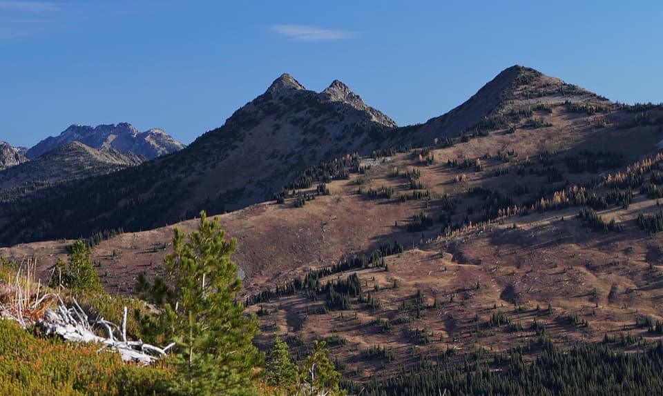 41Devil's Dome LoopFour or five days of open ridges and careful water planning.
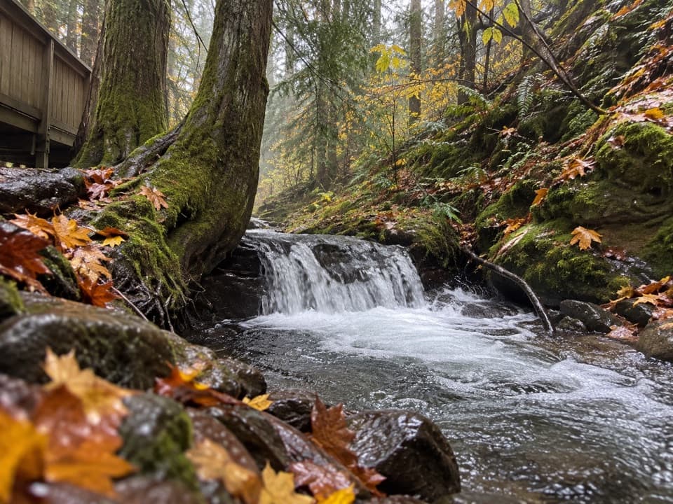 42Happy Creek Falls TrailOld sawmill relics and stepped falls reward a steep creekside climb.
 43McGregor Mountain TrailA punishing climb to Heaton Camp and far-reaching Stehekin views.
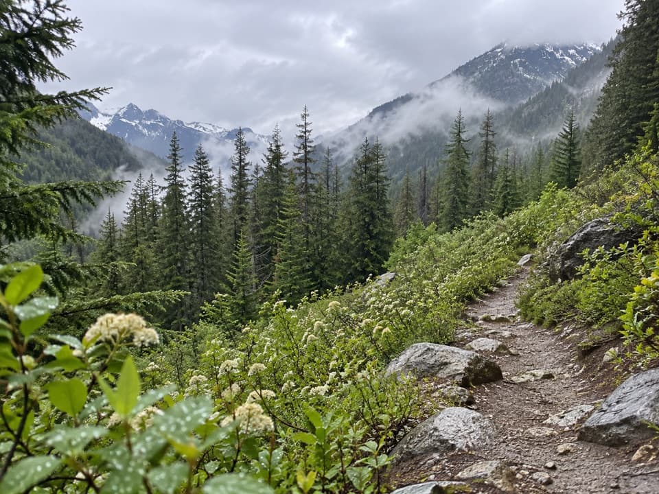 44Bridge Creek (Pacific Crest) TrailA long PCT descent from SR 20 to Bridge Creek Camp.
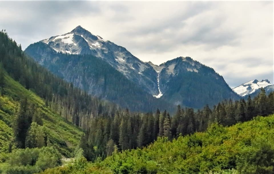 45Chilliwack River TrailOld-growth river miles and a cable crossing reward a big commitment.
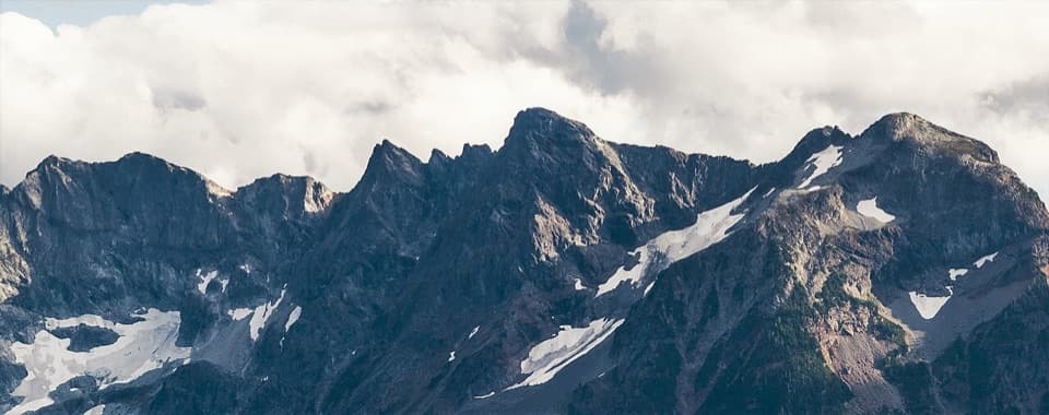 46Little Jack Mountain TrailA long, steep climb to a broad North Cascades ridge view.
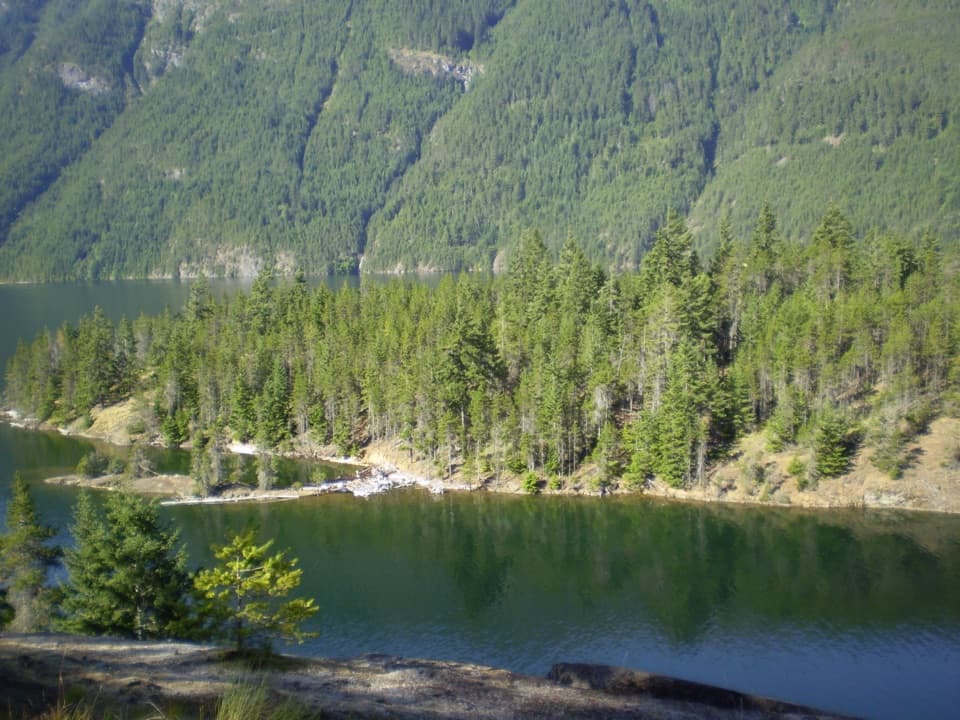 47East Bank TrailA 31-mile forest and lakeshore traverse to Hozomeen.
 48Rock Shelter TrailA short accessible walk to a 1,400-year-old hunting camp.
 49Buckner Orchard WalkA shady ditch-side path opens onto a working historic orchard.
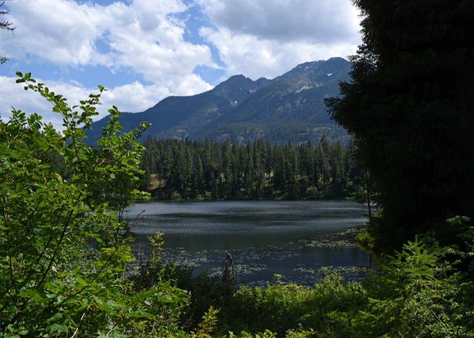 50Howard Lake TrailClimb to water lilies, dragonflies and a beaver lodge.
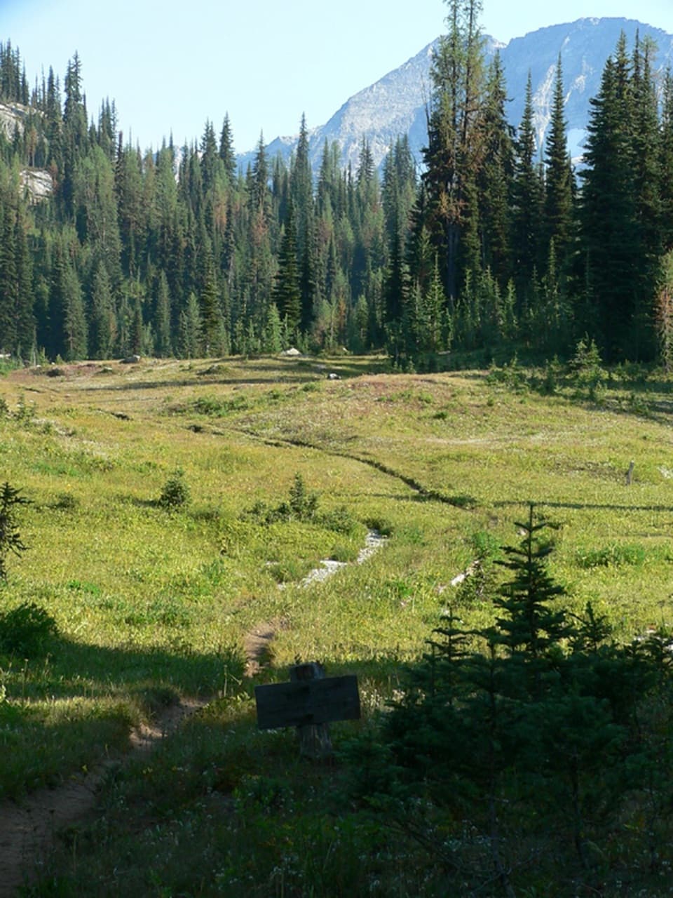 51McAlester Lake TrailA long climb through forest and meadows to a Cascade lake
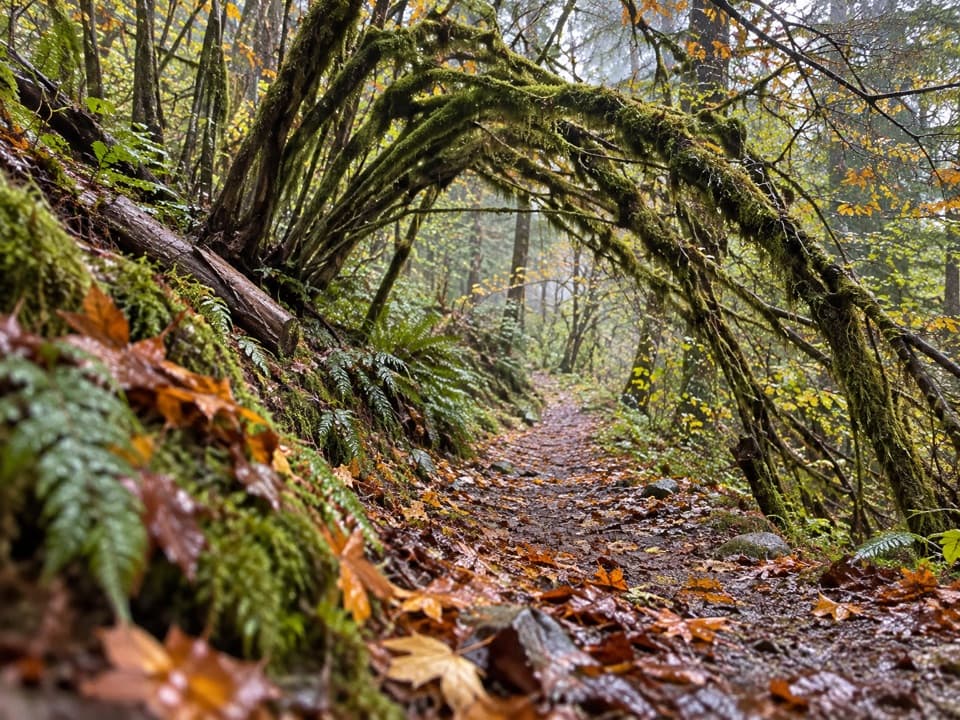 52Sourdough Creek TrailA forest path to Sourdough Creek Falls, with a rocky finish.
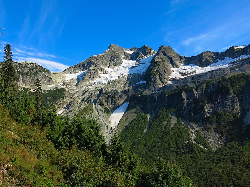 53Brush Creek Trail to Whatcom PassChallenger Glacier and Little Beaver valley open up from this remote pass.54Rainbow Lake TrailCross Bowan Pass to a blue lake deep in the backcountry.
 55Park Creek Trail to Park Creek PassA remote 8-mile climb to a pass between Logan and Buckner
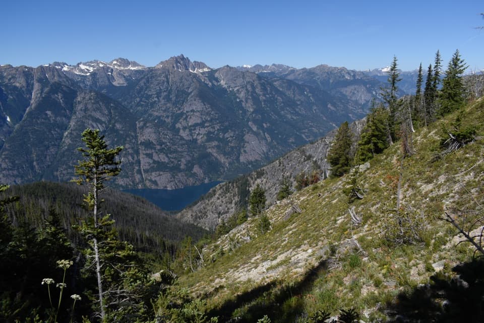 56Purple Creek TrailA punishing climb to a tucked-away larch basin.
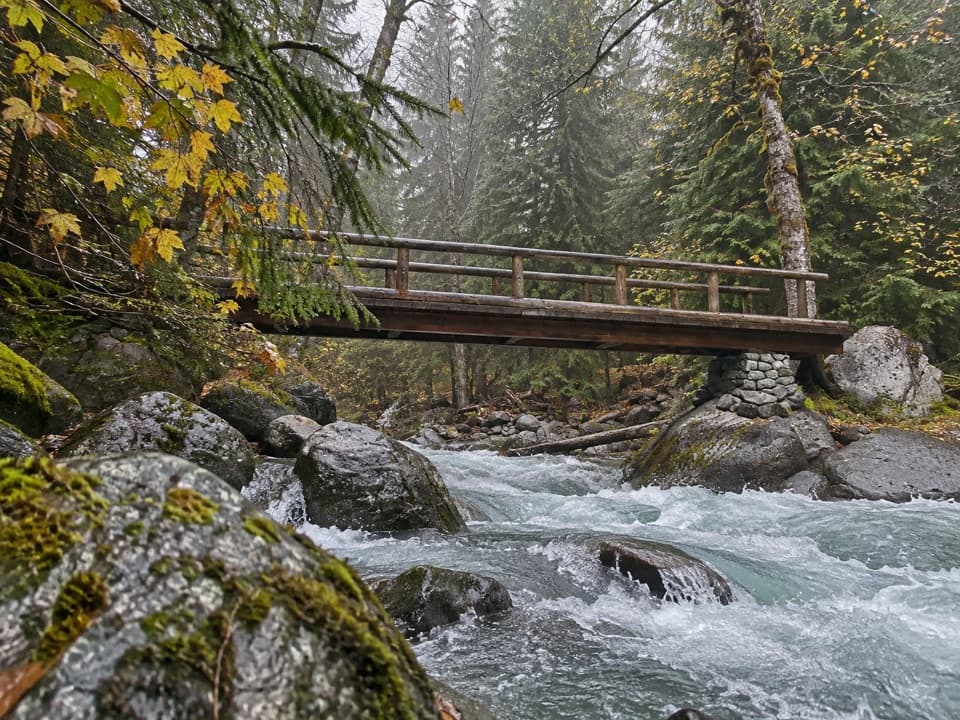 57Panther Creek Trail to Fourth of July PassTumbling creek water marks the climb to Fourth of July Pass.
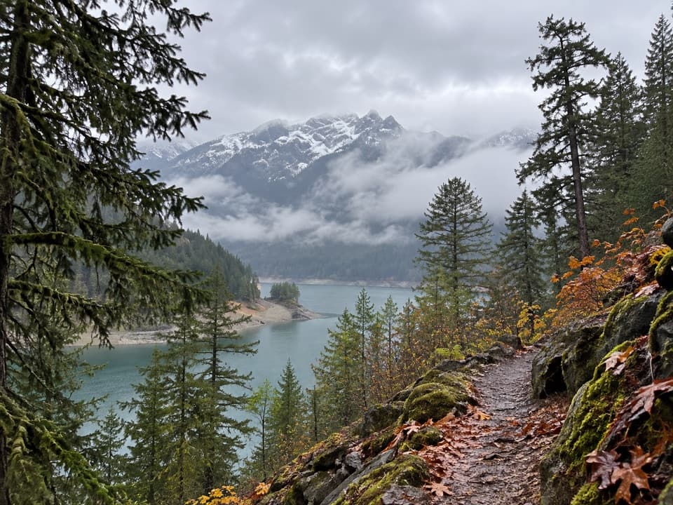 58Happy Panther TrailWaterfall bridges break up this long forest walk.
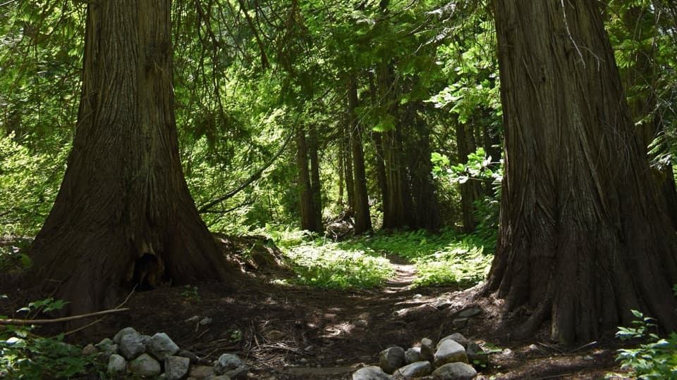 59Old Wagon Trail to Bridge Creek CampA gentle one-way walk through cedar groves to Bridge Creek Camp.
 60Stehekin River TrailA gentle forest walk to Weaver Point, with river and falls views
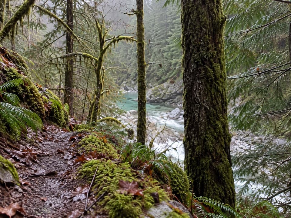 61Stetattle Creek TrailA rocky creekside start opens to a mossy forest traverse.
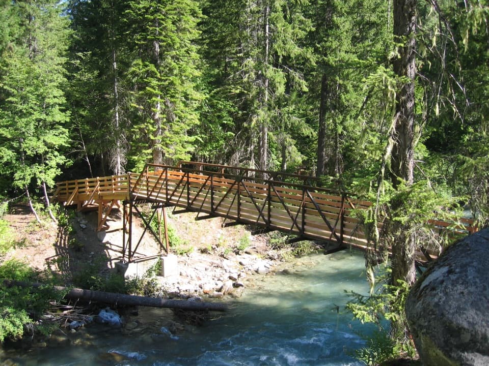 62Agnes Creek TrailA long walk through cedar forest to two creek cascades.
 63Pacific Crest Trail: SR 20 to High BridgeA long PCT traverse from SR 20 to High Bridge.
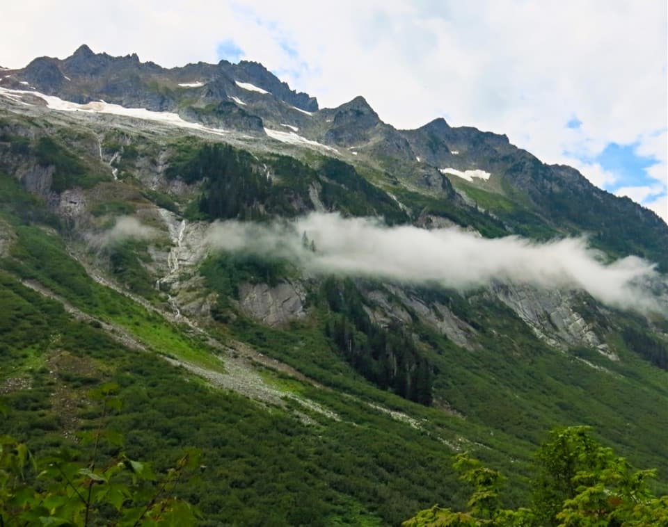 64Pacific Northwest Trail: Hannegan to Ross DamThree high passes follow wild rivers through old-growth cedar.
 65To Know a Tree Nature TrailTree signs turn this easy riverside walk into a small nature lesson.
 66Little Beaver TrailA long valley trail climbs to a rugged backcountry pass.
 67Trail of the ObeliskA short loop with forest, talus slopes and abandoned beaver ponds.
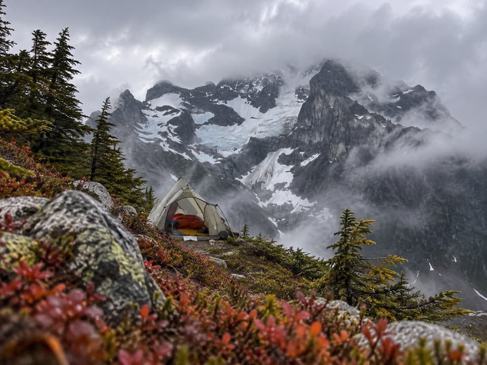 68Easy Pass / Fisher Creek TrailHigh pass, flowered basin, then a long backcountry creek walk.69The Great North Cascades TraverseA 105-mile crossing over five passes links Hannegan and Stehekin.
 70North Fork Bridge Creek TrailA long PCT spur into a creek valley below Mount Goode.
 71Goode Ridge TrailSteep ridge climb to an old lookout with wide Cascade views.72Purple Pass / Boulder Creek LoopA hard climb to Purple Pass, then a long Boulder Creek descent.
 73Lightning Creek Trail to Willow LakeA steep climb opens into the quiet Lightning Creek valley.
 74Hozomeen Lake TrailA remote lake walk beneath peaks named for their sharp edges.
 75Twisp Pass Trail via Twisp River RoadA quiet climb past a shallow lake to broad pass views.
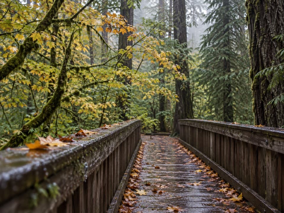 76Deer Creek LoopA quarter-mile loop winds beside Deer Creek Shelter.
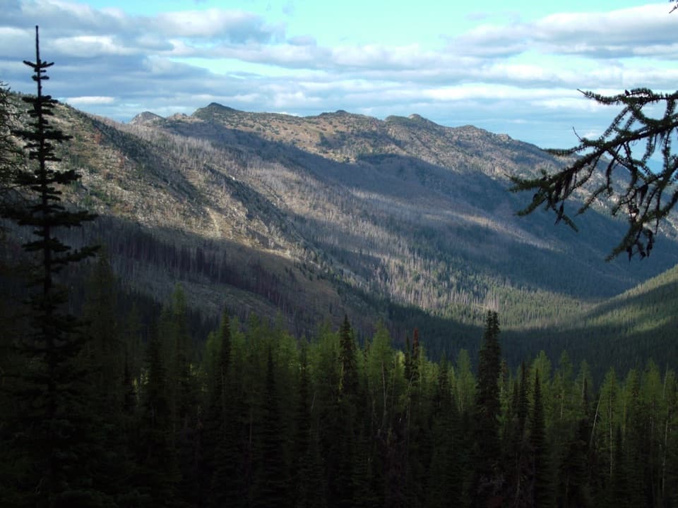 77War Creek Trail to Juanita LakeA forest climb to a quiet lake in the larch zone.
 78Lower Newhalem Creek TrailCreekside walk to a cedar glade still finding its way back.
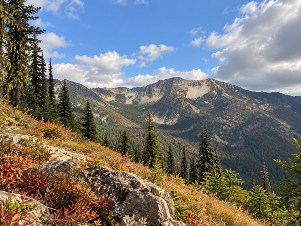 79Chelan Summit TrailOpen larch meadows climb to a remote high-country pass.
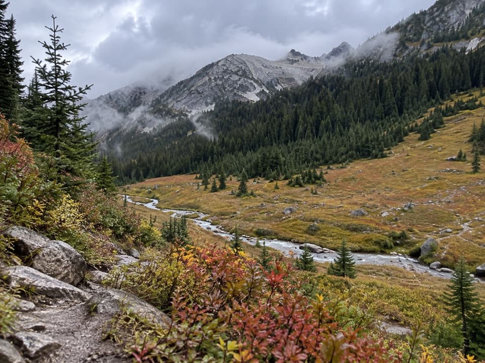 80Boulder Creek TrailAn 11-mile one-way climb from Stehekin into high country.
 81Rainbow Creek TrailA hard climb into open meadows above Lake Chelan
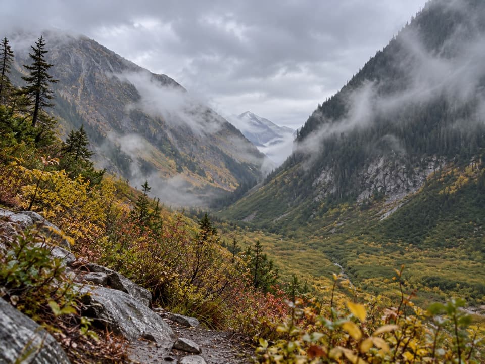 82Upper Stehekin Valley TrailA remote old road connects two backcountry camps in Stehekin Valley.
 83Stiletto Peak TrailClimb through flower meadows to the remains of a fire lookout
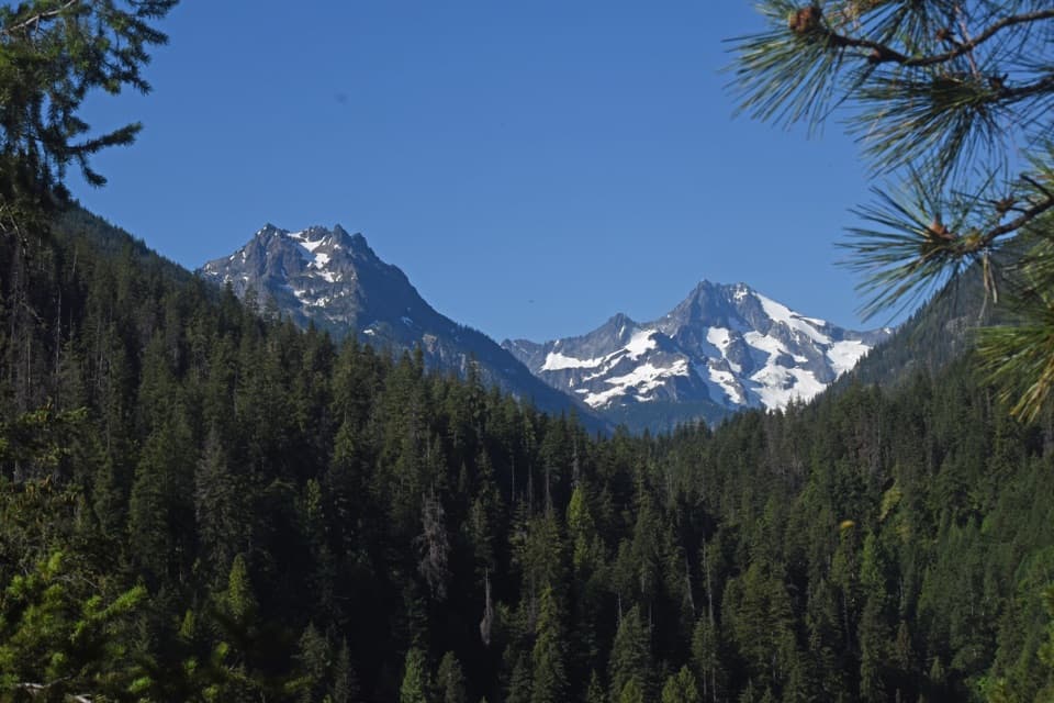 84Hilgard Pass / Ten Mile Pass LoopA demanding loop from Stehekin to two high mountain passes.
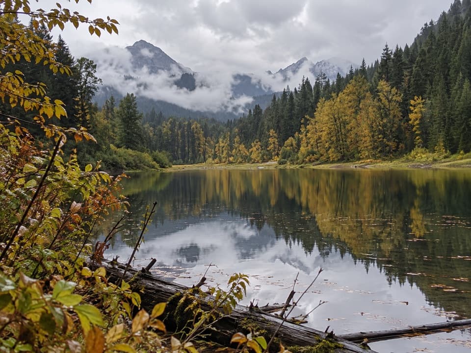 85Willow Lake TrailA remote, roughly 51-mile out-and-back to a marshy lake.86Company Creek TrailA demanding 5,400-foot climb from Stehekin to Hilgard Pass.
 87Devore Creek TrailA steep backcountry route from Weaver Point into Ten Mile Basin.
 88Flat Creek TrailA remote valley walk through fire recovery to old-growth cedars.

The highest, rockiest slopes around here are a summer buffet for grizzly bears.
North Cascades Tour Guide
North Cascades, narrated.
Parkwolf is a GPS audio tour guide for North Cascades National Park. As you drive, it chimes in with what’s ahead: hidden gems, upcoming stops, history, geology, and wildlife, right through your car’s speakers.
See the North Cascades audio tourRecorded for this place
Diablo Lake Overlook0:00 / 0:32
“You're coming up on Diablo Lake Overlook, a stop I'd keep even on a short drive through. The lake, wooded islands, and steep peaks spread out below you, with no hike needed for the main view.”
Plays as you drive up to Diablo Lake Overlook in the Parkwolf North Cascades Tour Guide.
More stories near here in the app
- An Alder's Hidden Partners
- A Squirrel's Cone Store
- Environmental Learning Center: A Planned Stay on Diablo Lake
- Colonial Creek: Lake Access and Thunder Knob
- 83 audio storiesacross North Cascades’s roads, triggered by GPS as you drive
- Wildlife heatmapsfor Mountain Goat, Black Bear, Mule Deer, and 10 more
- Works offlinemaps, 88 trails, 76 places, and audio download before you lose signal
- CarPlay readysimple controls built for the drive
“Fantastic app with many points of information… It’s great to just turn on while you’re driving and it gives you an audio tour of the national Park. We love it!!!!”

