Parking
Near the old Hozomeen Ranger Station off Silver-Skagit Road. No trail-specific lot, capacity or parking fee information was found. U.S.-side access to Hozomeen is by Ross Lake boat or the 31-mile East Bank Trail.

North Cascades National Park, WA
A short loop with forest, talus slopes and abandoned beaver ponds.
Overview
Map & elevation
Plan your hike

The highest, rockiest slopes around here are a summer buffet for grizzly bears.
North Cascades Tour Guide
Parkwolf is a GPS audio tour guide for North Cascades National Park. As you drive, it chimes in with what’s ahead: hidden gems, upcoming stops, history, geology, and wildlife, right through your car’s speakers.
See the North Cascades audio tourRecorded for this trailhead
Hozomeen Campground and Hozomeen Lake“You're nearing Hozomeen Campground, a remote forest base near the northern end of Ross Lake.”
Plays as you drive up to this trailhead in the Parkwolf North Cascades Tour Guide.
“Fantastic app with many points of information… It’s great to just turn on while you’re driving and it gives you an audio tour of the national Park. We love it!!!!”


Trail guide
Trail of the Obelisk is a 0.8-mile (1.3 km) loop near the old Hozomeen Ranger Station, along the U.S.-Canada boundary. It passes streamside forest, talus slopes and abandoned beaver ponds. The trail is rated moderate, with a noticeable grade for such a short walk; allow about 30 to 45 minutes. It is a worthwhile small walk if you are already in Hozomeen, but reaching the trail is the larger commitment.
The appeal is the mix of wooded streamside ground, rocky talus and old pond country. A short stretch on the unpaved access road joins the trail's two ends to complete the loop. Leashed dogs are allowed.
The trail begins near the old Ranger Station, off Silver-Skagit Road, but no trail-specific parking lot, capacity or fee is described. From the south, the documented approach is by boat from Colonial Creek across Diablo Lake, a portage around Ross Dam, then onward on Ross Lake; the other approach is the 31-mile East Bank Trail. Hozomeen has no cell service or trash service, so plan to carry out everything you bring. Because the trail lies at the international boundary, enter through a designated port of entry.
Hozomeen comes from a Salish word meaning “sharp like a knife,” referring both to the sharp peaks and to chert that Indigenous people worked into sharp-edged tools. Mosquitoes are especially numerous in August and September.
Wildlife
 101 sightingsMountain GoatMost seen around 6 PMSighting map
 70 sightingsBlack BearMost seen around 8 PMSighting map
 20 sightingsMule DeerMost seen around 7 PMSighting map
 77 sightingsSooty GrouseMost seen around 6 AMSighting map
 23 sightingsWhite-tailed PtarmiganMost seen around 6 PMSighting map
 75 sightingsWestern ToadMost seen around 8 PMSighting map
Sighting maps show where each species has been reported across North Cascades. Wildlife moves, so no sighting is guaranteed.
Keep exploring
 ModerateHozomeen Lake Trail7.2 mi · 4 hr · 1 mi awayA remote lake walk beneath peaks named for their sharp edges.
 ChallengingLittle Beaver Trail32.4 mi · 22 hr · 5.9 mi awayA long valley trail climbs to a rugged backcountry pass.
 ChallengingDesolation Peak Trail9.4 mi · 7.5 hr · 7.2 mi awayA steep climb to Kerouac’s historic fire lookout
 ChallengingLightning Creek Trail to Willow Lake8 mi · 6 hr · 8.7 mi awayA steep climb opens into the quiet Lightning Creek valley.
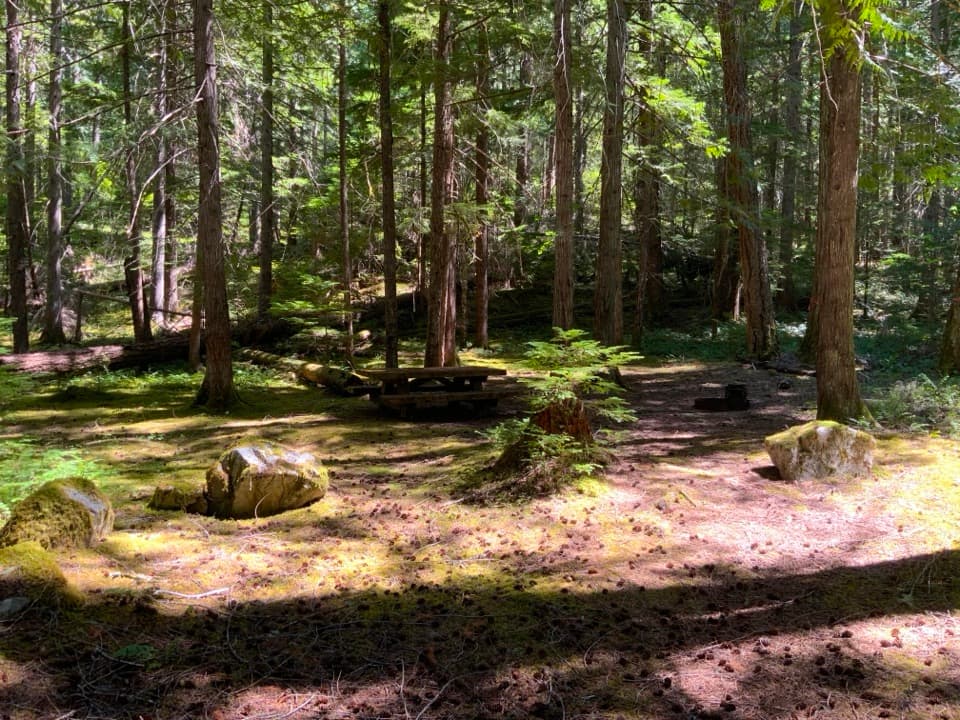 Campground · 0.9 mi awayHozomeen CampgroundA remote forest camp at Ross Lake's northern end.
 Campground · 2.8 mi awaySilver Creek CampA remote dockside camp for a night on Ross Lake.
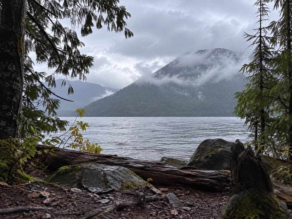 Campground · 5.1 mi awayBoundary Bay CampA boat-in night beside Ross Lake's wooded shore.
 Campground · 5.9 mi awayLittle Beaver Boat CampA quiet boat-in base on Ross Lake.Sight · 6.5 mi awayDesolation Peak LookoutKerouac’s 1956 lookout crowns a steep climb above Ross Lake.
 Campground · 8.1 mi awayCat Island CampFour boat-in sites on a quiet island in Ross Lake.
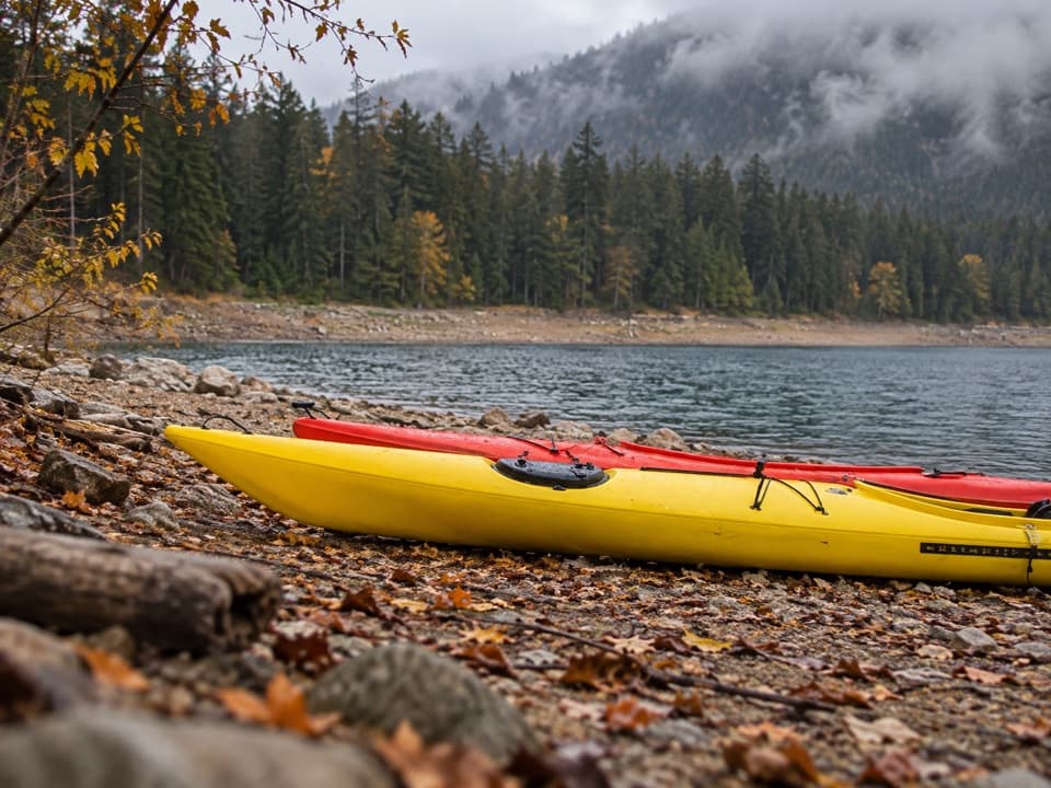 Campground · 8.7 mi awayLightning Creek Boat CampFive campsites on Ross Lake, reached by boat or trail.
 Campground · 9 mi awayLightning Creek Stock CampA two-site Ross Lake camp reached by boat or a long hike.
Parkwolf’s North Cascades ranking

The audio tour guide for the drive, plus offline maps, trails, and wildlife heatmaps for when the signal drops.




