Parking
The Desolation boat dock has no road access. Arrange boat transport from Ross Lake Resort; hiking in from the Highway 20 East Bank trailhead is a much longer, roughly 46-mile round trip.

North Cascades National Park, WA
A steep climb to Kerouac’s historic fire lookout
Overview
Map & elevation
Plan your hike

The highest, rockiest slopes around here are a summer buffet for grizzly bears.
North Cascades Tour Guide
Parkwolf is a GPS audio tour guide for North Cascades National Park. As you drive, it chimes in with what’s ahead: hidden gems, upcoming stops, history, geology, and wildlife, right through your car’s speakers.
See the North Cascades audio tour“Fantastic app with many points of information… It’s great to just turn on while you’re driving and it gives you an audio tour of the national Park. We love it!!!!”


Trail guide
Desolation Peak Trail is a 9.4-mile out-and-back from the Desolation boat dock to the historic lookout site near the summit. Allow about 7–8 hours on foot, plus boat time; the climb gains roughly 4,400 feet and is hard throughout. This is a full-day mountain objective for hikers who want a remote summit, not a short walk to a viewpoint. The lookout cabin is closed to visitors, but the high ridge and wide North Cascades panorama make the climb worthwhile.
The trailhead has no road access. Arrange boat transport from Ross Lake Resort, or plan a much longer walk-in from the Highway 20 East Bank trailhead; that full approach is roughly 46 miles round trip. The 9.4-mile figure here starts at the Desolation dock and does not include the boat transfer. The route is remote, so make the access plan before setting out.
From the dock, the path climbs steeply through shaded forest, gaining height steadily. Farther up, the trees thin and the route enters exposed subalpine meadows and open ridge. In midsummer, flowers such as lupine, paintbrush, lilies and mountain anemones can brighten the slopes. Stay on the established tread or durable rock: the meadow vegetation is fragile.
Fill up at Ross Lake. After the snow melts, there is no reliable water on the trail or at camp; occasional trickles reported on individual trips are not dependable. Summer conditions can be hot and dry, and the upper route has little shade. Desolation Camp sits about a mile below the summit and holds one party of up to eight. Overnight stays require a backcountry permit, food storage requires a bear canister, fires are not allowed, and camping on the summit is prohibited.
At about 6,100 feet, the summit opens toward Hozomeen Mountain to the north, the Picket Range and Ross Lake to the west, Jack Mountain to the south, and Skagit Peak to the east. On clear days the view reaches into Canada. The historic fire lookout is not open to the public. At the top, frame the weathered cabin against Hozomeen; the upper trail also gives strong views down to Ross Lake.
A major burn in 1926 and recurring fires helped create the open summit meadows. The route passes through a striking mix of forest and subalpine plant communities, including ponderosa and lodgepole pine on this west-facing slope. Deer, bears, cougars, grouse and marmots are among the wildlife found in the area.
Jack Kerouac spent 63 days as the lookout here in 1956. The solitude and landscape became part of the story behind Desolation Angels and The Dharma Bums. You cannot go inside the cabin, but knowing why this remote post became a literary landmark adds another layer to the summit stop.
Wildlife
 101 sightingsMountain GoatMost seen around 6 PMSighting map
 70 sightingsBlack BearMost seen around 8 PMSighting map
 20 sightingsMule DeerMost seen around 7 PMSighting map
 77 sightingsSooty GrouseMost seen around 6 AMSighting map
 23 sightingsWhite-tailed PtarmiganMost seen around 6 PMSighting map
 75 sightingsWestern ToadMost seen around 8 PMSighting map
Sighting maps show where each species has been reported across North Cascades. Wildlife moves, so no sighting is guaranteed.
Keep exploring
 ChallengingLightning Creek Trail to Willow Lake8 mi · 6 hr · 1.7 mi awayA steep climb opens into the quiet Lightning Creek valley.
 ChallengingLittle Beaver Trail32.4 mi · 22 hr · 1.9 mi awayA long valley trail climbs to a rugged backcountry pass.
 ModerateHozomeen Lake Trail7.2 mi · 4 hr · 6.3 mi awayA remote lake walk beneath peaks named for their sharp edges.
 ModerateTrail of the Obelisk0.8 mi · 36 min · 7.2 mi awayA short loop with forest, talus slopes and abandoned beaver ponds.
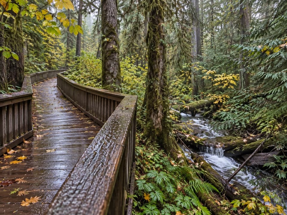 EasyHappy Creek Forest Walk0.3 mi · 15 min · 11.6 mi awayA short boardwalk loop beside Happy Creek and old-growth trees.
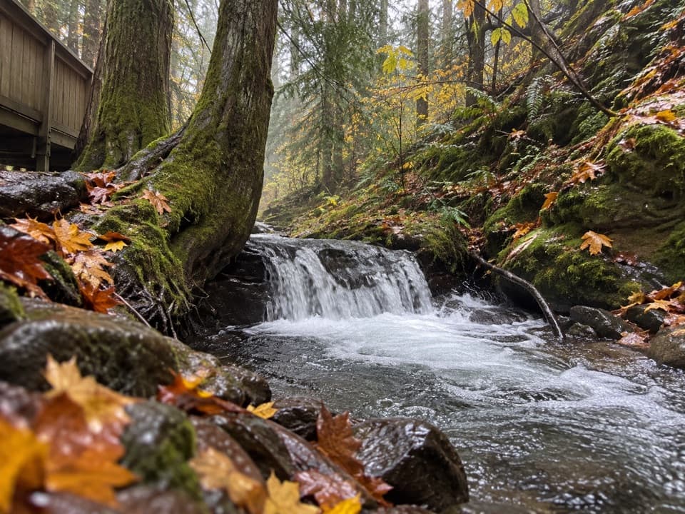 ModerateHappy Creek Falls Trail2.6 mi · 2.5 hr · 11.6 mi awayOld sawmill relics and stepped falls reward a steep creekside climb.
 ModerateRoss Dam Trail2.5 mi · 2 hr · 11.7 mi awayWalk through forest to Ross Dam, then climb back to SR 20.
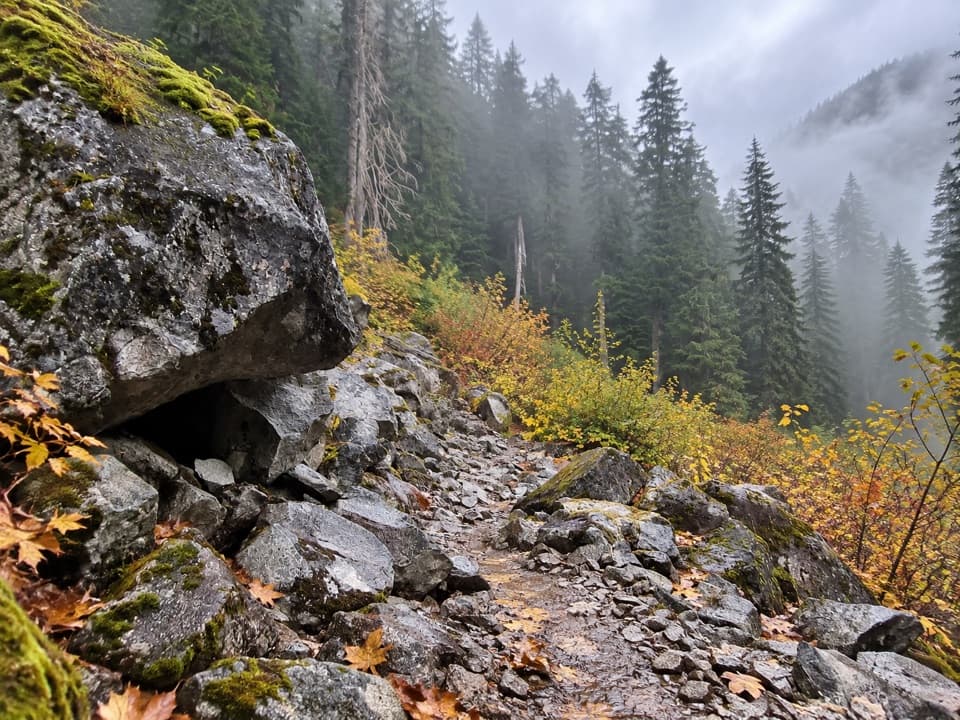 ChallengingBig Beaver Trail24.6 mi · 18 hr · 11.7 mi awayA long valley traverse past ancient cedars and beaver marshes.
 Campground · 0.9 mi awayCat Island CampFour boat-in sites on a quiet island in Ross Lake.
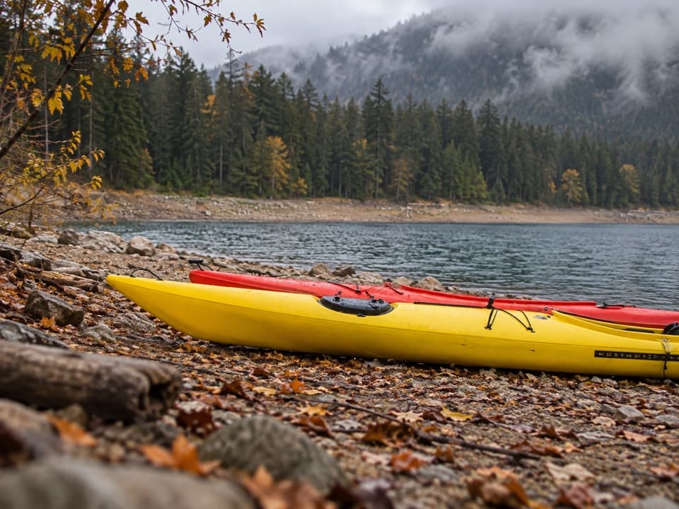 Campground · 1.7 mi awayLightning Creek Boat CampFive campsites on Ross Lake, reached by boat or trail.Sight · 1.7 mi awayDesolation Peak LookoutKerouac’s 1956 lookout crowns a steep climb above Ross Lake.
 Campground · 1.9 mi awayLittle Beaver Boat CampA quiet boat-in base on Ross Lake.
 Campground · 2 mi awayLightning Creek Stock CampA two-site Ross Lake camp reached by boat or a long hike.
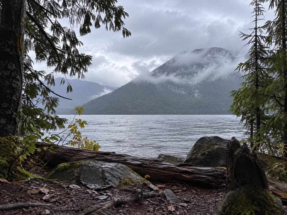 Campground · 2.1 mi awayBoundary Bay CampA boat-in night beside Ross Lake's wooded shore.
 Campground · 2.6 mi awayLodgepole CampA remote Ross Lake camp reached by boat, with trail access.
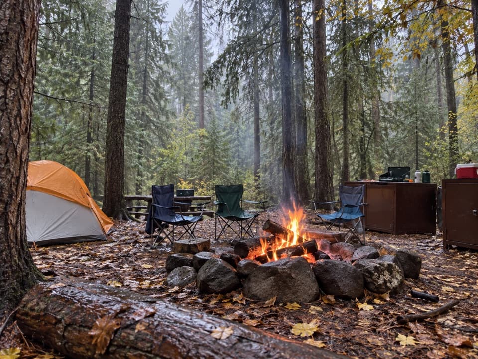 Campground · 2.9 mi awayPonderosa CampA two-site boat-in camp on Ross Lake's wooded shore.
Parkwolf’s North Cascades ranking

The audio tour guide for the drive, plus offline maps, trails, and wildlife heatmaps for when the signal drops.




