Lightning Creek Trail to Willow Lake in North Cascades National Park

North Cascades National Park, WA

Lightning Creek Trail to Willow Lake

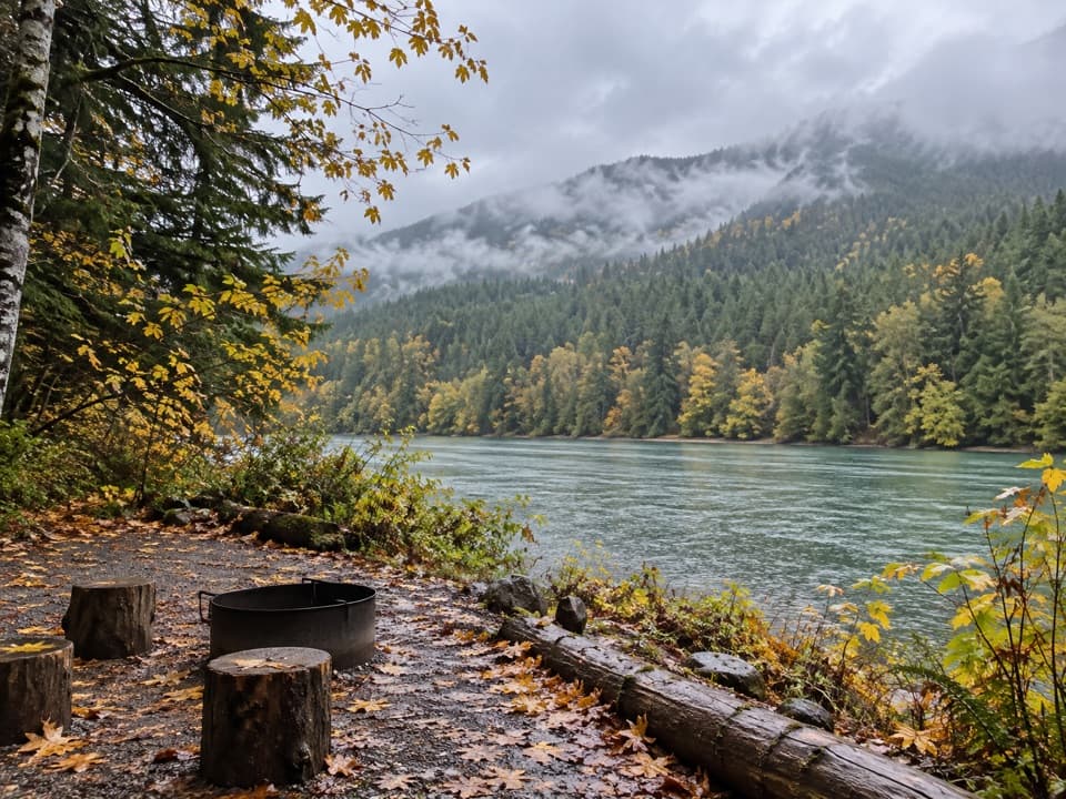
A steep climb opens into the quiet Lightning Creek valley.

Length
8mi
Time
6hr
Elev. change
1,289ft
Difficulty
Challenging
  • Dogs allowed
  • High point 2,956 ft
Parkwolf audio tour83 stories across North Cascades’s roads

Overview

About Lightning Creek Trail to Willow Lake

Why go

  • The climb opens the last big views over Ross Lake before the trail drops into a secluded valley.
  • A historic cabin and the Three Fools Creek junction give the remote route a story of its own.

Heads up

  • The first half mile gains about 1,000 feet.
  • The remote start is about 16 miles from the highway trailhead on foot unless reached by boat.

Map & elevation

The route

Loading the North Cascades map
Full map
Elevation1,667–2,956 ft
TrailheadLightning Creek Boat & Stock Camp48.87701, -121.02238
Keep this map with you offline in the Parkwolf app

Plan your hike

Before you go

Parking

No road parking at the remote start. Reach Lightning Creek Boat & Stock Camp from the East Bank Trailhead at Highway 20 milepost 138 (about 16 miles on foot), or arrange boat transport from Ross Lake Resort; the resort serves drop-off points along East Bank.

Safety

The first half mile climbs about 1,000 feet on steep switchbacks. This is a remote one-way route; overnight stays require a limited backcountry permit.

7 active North Cascades alerts

  • ClosureWildfire closures and Stehekin fire advisoryWildfire-related closures remain in effect; stay out of all closed trails, camps, and areas.Official details
  • CautionCampfires banned across the park complexCampfires and other ash-producing fires are banned throughout the North Cascades National Park Service Complex.Official details
See all 7 alerts
A park ranger sits on a dash-mounted phone, talking, as Parkwolf’s Tour Guide plays “Army Cutworm Moths: A Grizzly Bear Buffet” on Grand Loop Road below Dunraven Pass in Yellowstone
Parkwolf Tour GuideThe highest, rockiest slopes around here are a summer buffet for grizzly bears.

North Cascades Tour Guide

Your drive to Lightning Creek Trail to Willow Lake, narrated.

Parkwolf is a GPS audio tour guide for North Cascades National Park. As you drive, it chimes in with what’s ahead: hidden gems, upcoming stops, history, geology, and wildlife, right through your car’s speakers.

See the North Cascades audio tour
  • 83 audio storiesacross North Cascades’s roads, triggered by GPS as you drive
  • Wildlife heatmapsfor Mountain Goat, Black Bear, Mule Deer, and 10 more
  • Works offlinemaps, 88 trails, 76 places, and audio download before you lose signal
  • CarPlay readysimple controls built for the drive
★★★★★
“Fantastic app with many points of information… It’s great to just turn on while you’re driving and it gives you an audio tour of the national Park. We love it!!!!”
JMJamesApp Store review
Download Parkwolf on the App StoreGet Parkwolf on Google Play

4.7 from 8,600+ ratings

Trail guide

Hiking Lightning Creek Trail to Willow Lake

A long section of the East Bank routeLightning Creek is an 8-mile, one-way trail segment from the remote Lightning Creek Boat &…

Lightning Creek is an 8-mile, one-way trail segment from the remote Lightning Creek Boat & Stock Camp on Ross Lake to the Willow Lake Trail junction. It leaves the East Bank route and climbs into a secluded mountain valley. This is a good fit if you’re already on a multi-day East Bank trip or have boat access arranged, not a casual roadside hike. Allow about six hours for this segment; walking back the same way makes it roughly 16 miles before the approach. The camp lies about 16 miles from State Route 20 along the East Bank Trail.

The climb above Ross LakeThe route turns east from the lakeshore and climbs steeply through switchbacks, gaining about…

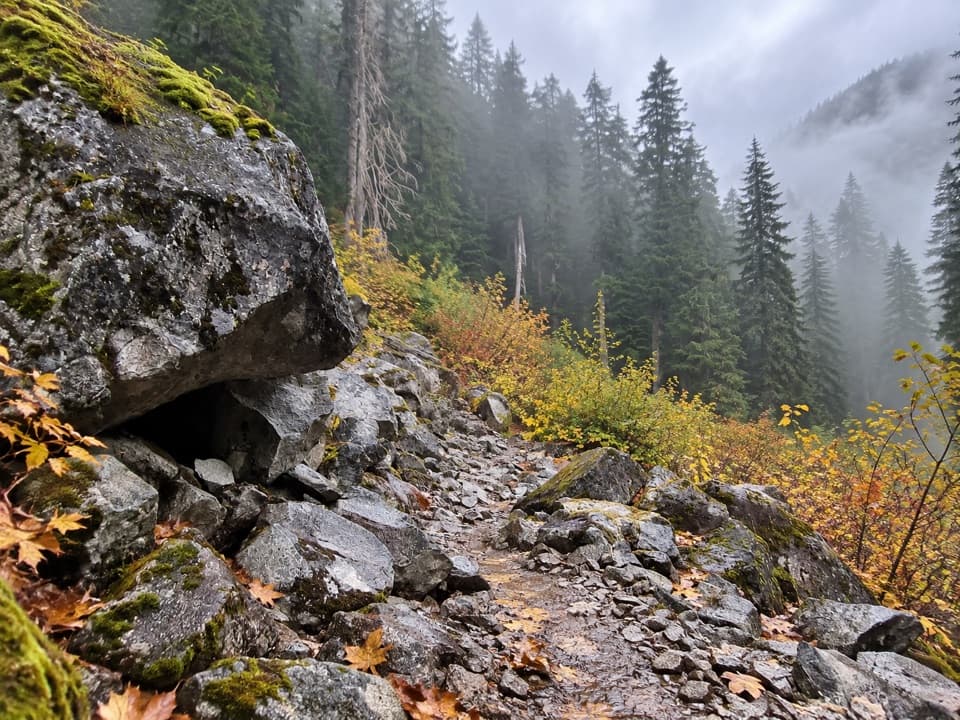
The route turns east from the lakeshore and climbs steeply through switchbacks, gaining about 1,000 feet in the first half mile. This is where the last broad views of Ross Lake open up. After the climb, the path drops into the quiet Lightning Creek valley and follows a dirt tread through forest. The steep start sets the tone; the remote location makes a quick turn-around harder than it sounds.

The cabin and Three Fools CreekThe trail passes a log trapper’s cabin that the park maintains as a historic structure.

The trail passes a log trapper’s cabin that the park maintains as a historic structure. It’s closed to visitors, so enjoy it from outside. A log bridge nearby leads to the Three Fools Creek Trail and the Pasayten Wilderness. The local story behind that name is that three prospectors were lured away from their Ruby Creek claim by a false tip. The park tells it as a story, not settled history.

Willow Lake is the northern turnThe mapped Lightning Creek segment ends at the Willow Lake Trail junction, near the shallow…

The mapped Lightning Creek segment ends at the Willow Lake Trail junction, near the shallow Willow Lake basin. The larger East Bank route continues past Willow Lake toward Hozomeen Lake, about two miles farther north; that continuation is outside this trail’s stored route. Keep the two routes separate when planning mileage.

Getting to the remote startThere’s no road parking at Lightning Creek.

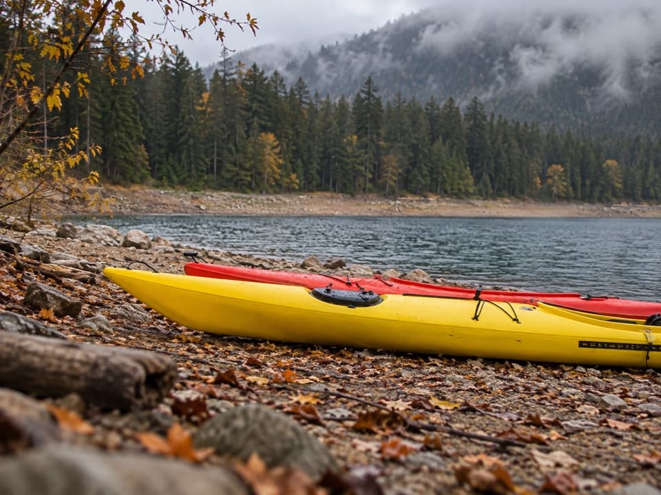
There’s no road parking at Lightning Creek. Reach the boat and stock camp from the East Bank Trailhead at Highway 20 milepost 138, about 16 miles on foot, or arrange boat transport from Ross Lake Resort. A backcountry permit is required for overnight stays, and permits are limited. Leashed pets are allowed in Ross Lake National Recreation Area.

Wildlife

Wildlife in North Cascades

All North Cascades wildlife maps

Sighting maps show where each species has been reported across North Cascades. Wildlife moves, so no sighting is guaranteed.

Keep exploring

Near Lightning Creek Trail to Willow Lake

See it all on the map

Trails that start nearby

Places near the trailhead

Parkwolf’s North Cascades ranking

Top-rated trails in North Cascades

All 88 trails
  1. 1Sahale Arm TrailChallenging · 11.8 mi
  2. 2Cascade Pass TrailModerate · 7.4 mi
  3. 3Heather–Maple Pass LoopChallenging · 7.2 mi
  4. 4Hidden Lake TrailChallenging · 9 mi
  5. 5Copper Ridge / Chilliwack River LoopChallenging · 33.5 mi
  6. 6Thunder Knob TrailModerate · 3.8 mi

Take Parkwolf to North Cascades.

The audio tour guide for the drive, plus offline maps, trails, and wildlife heatmaps for when the signal drops.

4.7 from 8,600+ ratings

Download Parkwolf on the App StoreGet Parkwolf on Google Play