Goathland in North York Moors National Park

Sight · North York Moors National Park

Goathland

Sheep-grazed moorland village with a 70-foot waterfall below it

Photo: Wikimedia Commons
Type
Sight
Nearest trail
0.1 km
Audio stories
7 nearby
  • Parking
  • Restrooms
  • #17 of 55 sights

Hear the audio tour

Goathland Village and Station

Overview

About Goathland

Why stop

  • Sheep, stone cottages and open moorland in one compact stop
  • Mallyan Spout and the old rail route extend the visit

Heads up

  • Busy around the station on peak days
  • The waterfall path is rough and slippery after rain
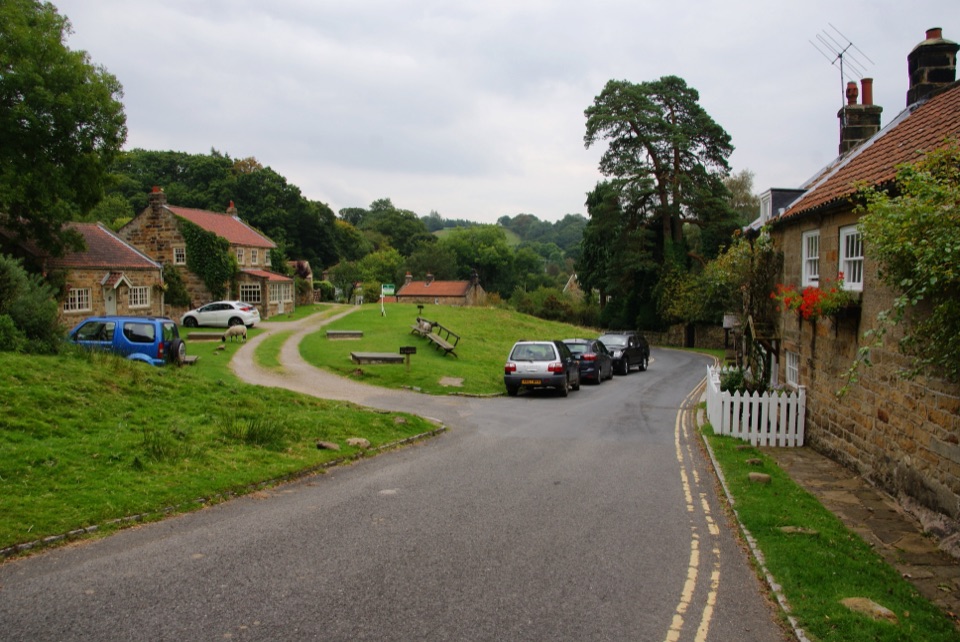
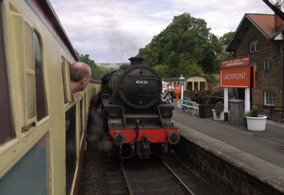
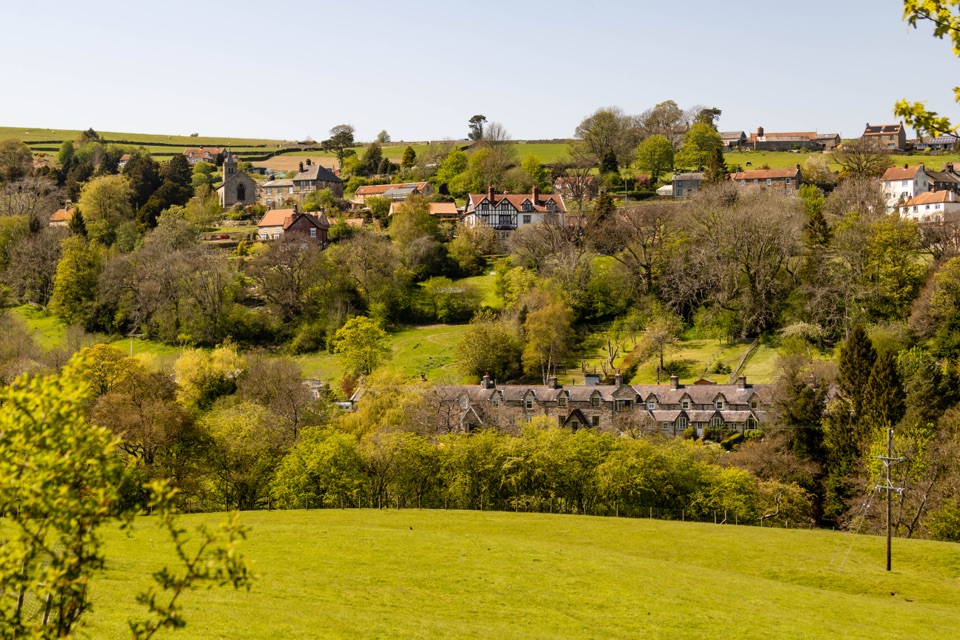
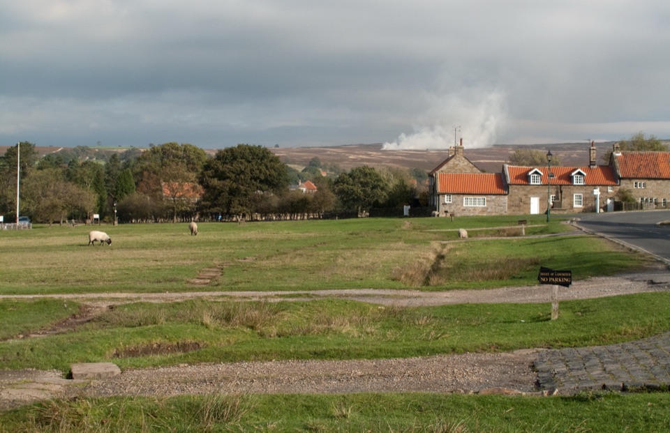
Goathland is a broad, open village strung along a grassy common, with stone cottages set back behind wide verges and sheep wandering freely through gardens, verges and the road as they graze the common. Beyond the last houses the ground opens straight into moorland, and on a still day you can hear steam trains working out of the valley toward Grosmont or Pickering. It is the rare Moors village where the setting does most of the work: no walls hemming you in, just grass, sheep, chimney smoke and heather.
Parkwolf’s verdictWhy stop here

Map

Where it is

Loading the North York Moors map
Full map
SightGoathland54.40014, -0.71961
Keep this map with you offline in the Parkwolf app

Plan your stop

Before you go

Best time to go

  • Early morning is the clear winner. Low sun rakes across the common, the sheep are out, and the car park and station area are quiet.
  • Weekends and school holidays get busy around the station and the main car park; midweek is noticeably calmer.
  • Late autumn to early spring gives the fullest waterfall and the best ravine atmosphere, but expect short daylight, cold wind on the exposed moor and deep mud on the descent.
  • Late summer brings heather colour on the surrounding moor and long evening light on the stone cottages.
  • The ravine is dark and green rather than sunlit, so for the falls aim for bright overcast rather than harsh midday sun.

8 active North York Moors alerts

  • ClosureHawnby Bridleway 110 closurePublic Bridleway 25.122/110/1 in Hawnby is closed to pedestrians, cyclists and equestrians because its bridge is unsafe. - The closure is between grid references SE 5309 9073 and SE 5335 9097.Official details
  • ClosureWest Ayton Footpath 1 closurePublic Footpath 1 in West Ayton (Forge Valley) is temporarily closed because its boardwalk is unsafe. - The closure is between SE 9860 8494 and SE 9839 8712.Official details
See all 8 alerts
A park ranger sits on a dash-mounted phone, talking, as Parkwolf’s Tour Guide plays “Army Cutworm Moths: A Grizzly Bear Buffet” on Grand Loop Road below Dunraven Pass in Yellowstone
Parkwolf Tour GuideThe highest, rockiest slopes around here are a summer buffet for grizzly bears.

North York Moors Tour Guide

Your drive to Goathland, narrated.

Parkwolf is a GPS audio tour guide for North York Moors National Park. As you drive, it chimes in with what’s ahead: hidden gems, upcoming stops, history, geology, and wildlife, right through your car’s speakers.

Recorded for this place

Goathland Village and Station
0:00 / 0:30
“You're coming up on Goathland, where sheep graze the village common and the station sits a short walk downhill.”

Plays as you drive up to Goathland in the Parkwolf North York Moors Tour Guide.

More stories near here in the app

  • Goathland’s Two Railway Routes
  • Goathland’s Dancing Plough Stots
  • Fylingdales’ Vanished Golf Balls
  • Twelve Oaks for Goathland
  • 298 audio storiesacross North York Moors’s roads, triggered by GPS as you drive
  • Wildlife heatmapsfor Eurasian Otter, Red Deer, Grey Seal, and 13 more
  • Works offlinemaps, 126 trails, 65 places, and audio download before you lose signal
  • CarPlay readysimple controls built for the drive
★★★★★
“Fantastic app with many points of information… It’s great to just turn on while you’re driving and it gives you an audio tour of the national Park. We love it!!!!”
JMJamesApp Store review
Download Parkwolf on the App StoreGet Parkwolf on Google Play

4.7 from 8,600+ ratings

Guide

More about Goathland

Village or stationThe station sits below the village and has its own listing and its own crowds.

The station sits below the village and has its own listing and its own crowds. Up here you get the common, the cottages, the shops and cafes, the church and the moor edge, plus the walking routes. Treat the two as a pair: park once, walk down, and let the trains be background rather than the whole visit. The village is genuinely compact, so half an hour covers the street; the walks are what make it a day.

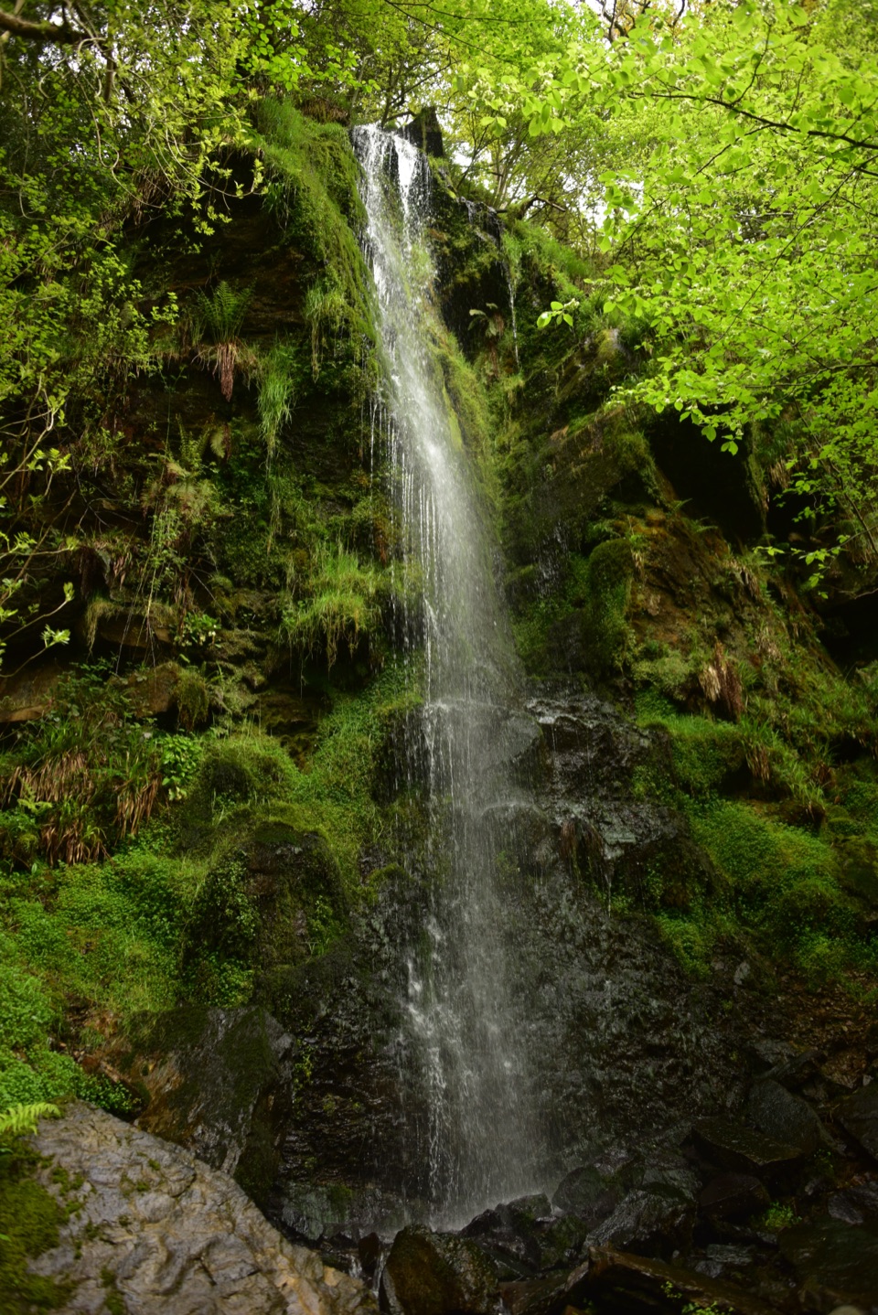
Mallyan Spout and the Beck Hole loopMallyan Spout drops around 70 feet down an almost vertical wooded ravine, and it is far more…

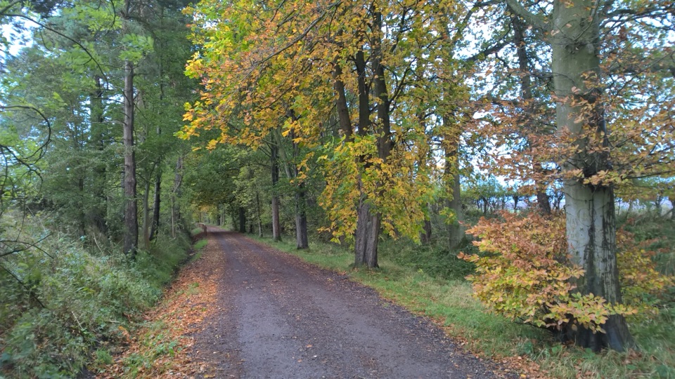
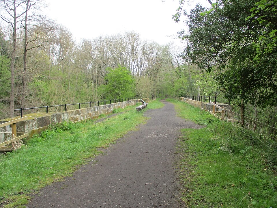
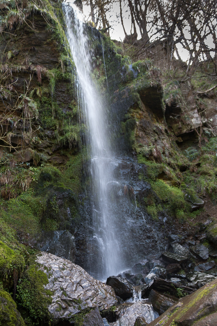
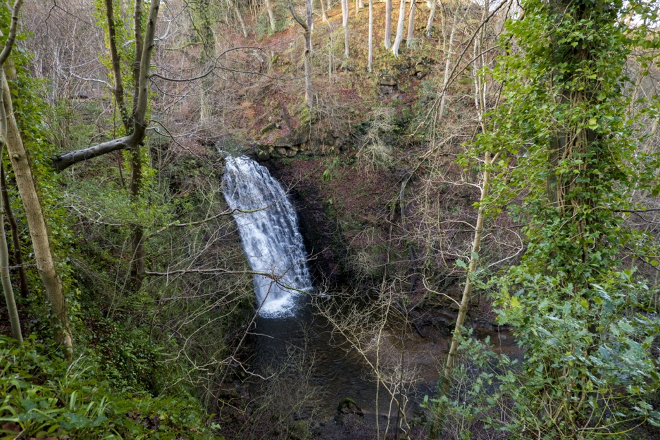
Mallyan Spout drops around 70 feet down an almost vertical wooded ravine, and it is far more impressive after heavy rain. The classic circuit is roughly 3 miles (4.8 km), about an hour and a half, starting from the village, dropping into the wooded valley, following West Beck to the falls, then returning along part of the old Whitby to Pickering railway track bed via Beck Hole.

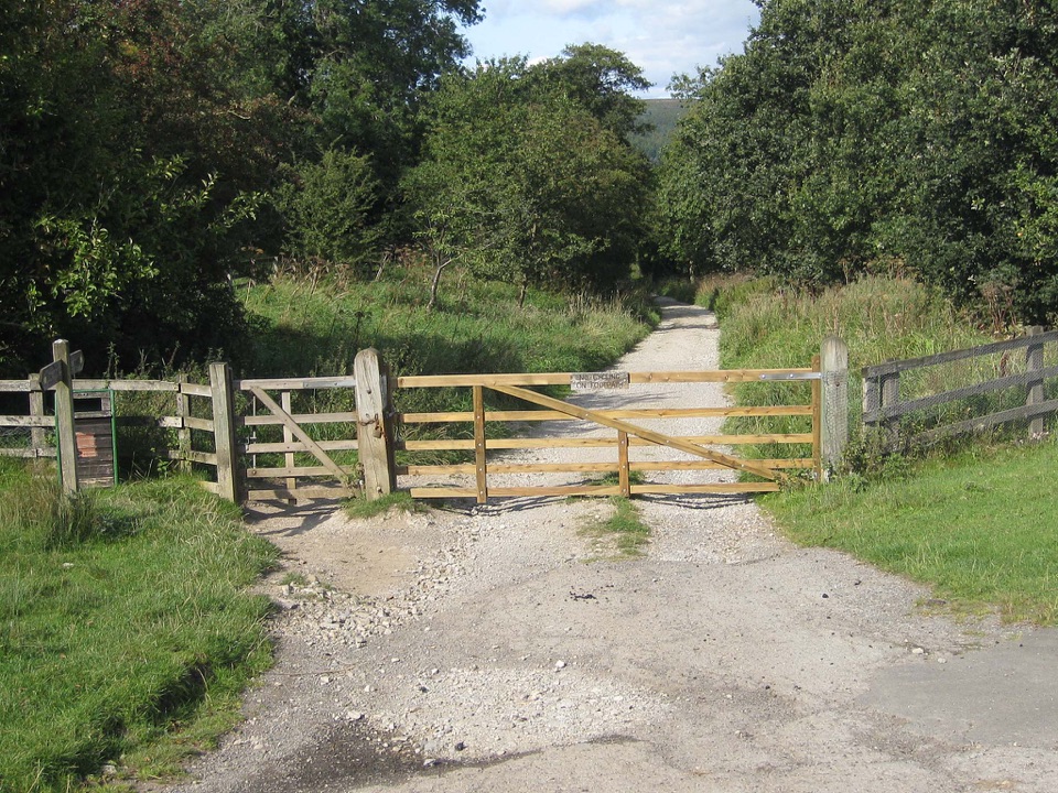
Be realistic about the terrain: steps, gates, mud after rain, and a rocky, awkward path along West Beck where the rocks are slick and the beck can run fast. There is scrambling in places. Boots, not trainers. Keep dogs under close control near livestock, which means most of the route.

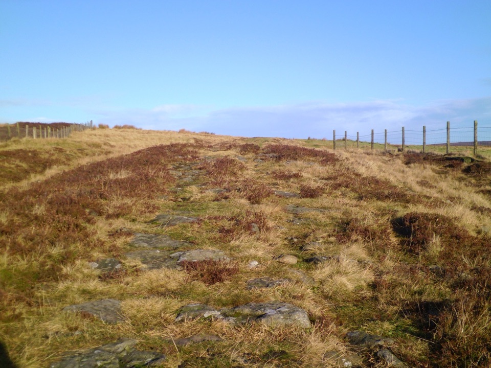
Want something flatter and easier underfoot? The Rail Trail to Grosmont is about 3.5 miles along the old line, with ironstone mining history on the way, and it is a good one way walk if you can time a train back.

Practical notesThere is a National Park car park on Beck Hole Road (YO22 5LX), with public toilets in the car…

There is a National Park car park on Beck Hole Road (YO22 5LX), with public toilets in the car park, which are worth using before the walk since there is nothing on the loop. Bring waterproofs, layers for exposed moorland, and a walking pole if you are unsure on wet rock. Refreshments are available in the village and at Beck Hole.

Honest drawbacksThe village itself is small and you can exhaust the street quickly, so arriving without walking…

The village itself is small and you can exhaust the street quickly, so arriving without walking shoes wastes the trip. Parking pressure and pedestrian traffic near the station can spoil the quiet on peak days. The falls can be a modest trickle in a dry spell, and the approach path is genuinely slippery when wet. Sheep on the road mean slow, careful driving, and drivers who resent it will not enjoy the place.

Why stop hereIt also has a 19th century past as a small spa resort, when visitors came for the waterfall in…

It also has a 19th century past as a small spa resort, when visitors came for the waterfall in the ravine below. That is still the best reason to stay longer than a coffee.

Wildlife

Wildlife in North York Moors

All North York Moors wildlife maps

Sighting maps show where each species has been reported across North York Moors. Wildlife moves, so no sighting is guaranteed.

Keep exploring

Near Goathland

See it all on the map

Trails nearby

More stops nearby

Parkwolf’s North York Moors ranking

Top sights in North York Moors

All 65 places
  1. 1North Yorkshire Moors RailwaySight
  2. 2Roseberry ToppingSight
  3. 3Rievaulx AbbeySight
  4. 4Robin Hood's Bay and BeachSight
  5. 5Hole of HorcumSight
  6. 6Goathland StationSight

Take Parkwolf to North York Moors.

The audio tour guide for the drive, plus offline maps, trails, and wildlife heatmaps for when the signal drops.

4.7 from 8,600+ ratings

Download Parkwolf on the App StoreGet Parkwolf on Google Play