Parking
Start at Goathland village car park, YO22 5LX, with public toilets. Use the car park rather than the grass verges through the village.
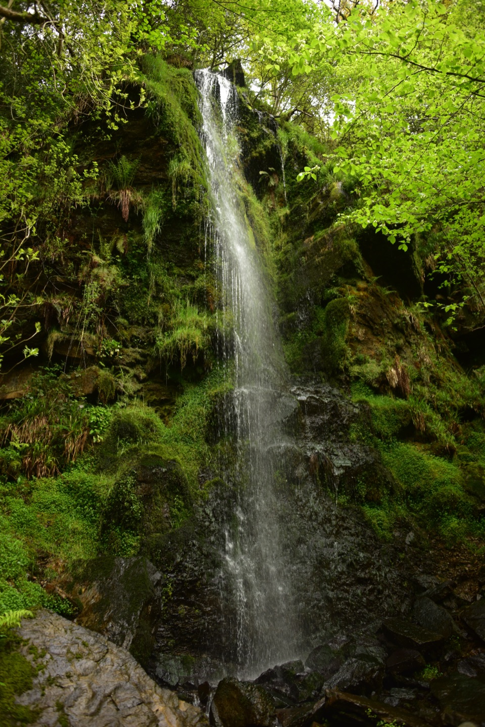
North York Moors National Park, EN
Waterfall ravine, open heather moor and an ancient moorland causeway
Overview
This is an 8.2 mile loop taking about 4 to 4.5 hours, and that figure is the complete walk from Goathland car park, including the public access approach to the circuit and the return along it. Expect a moderate to hard outing: sustained moorland distance, repeated climbs and descents, and long stretches of rough, open ground. The named loop section alone carries roughly 370 metres of cumulative ascent, spread over many short pulls rather than one big climb.
Map & elevation
Plan your hike

The highest, rockiest slopes around here are a summer buffet for grizzly bears.
North York Moors Tour Guide
Parkwolf is a GPS audio tour guide for North York Moors National Park. As you drive, it chimes in with what’s ahead: hidden gems, upcoming stops, history, geology, and wildlife, right through your car’s speakers.
Recorded for this trailhead
Goathland Village and Station“You're coming up on Goathland, where sheep graze the village common and the station sits a short walk downhill.”
Plays as you drive up to this trailhead in the Parkwolf North York Moors Tour Guide.
More stories near here in the app
“Fantastic app with many points of information… It’s great to just turn on while you’re driving and it gives you an audio tour of the national Park. We love it!!!!”


Trail guide
The causeway has been known for generations as a Roman road, though its age is now debated and an early medieval date is also considered possible. Either way it is a genuinely old engineered line across the moor, and walking it is the heritage payoff that balances the waterfall at the other end of the loop.
Boots with grip are sensible, and so is allowing more time than the mileage suggests. Water levels and slick stone in the ravine make the descent to the falls the slowest part of the day for many walkers.
Start from the Goathland village car park (YO22 5LX), which has public toilets. Use the car park rather than the grass verges through the village. Dogs are welcome on the public rights of way here, but this route crosses grazed moor and farmland, so keep them on a lead near livestock and under close control throughout. Take extra care with dogs around the fast-flowing beck and the stepping stones.
The separate short circular from Goathland to Mallyan Spout and Beck Hole is a much easier outing of under 3 miles, staying in the valley and back to the village. This route uses the same waterfall as one feature of a far longer day, adding the moorland crossing, the Wheeldale Roman Road and the beck stepping stones. If you want a brief look at the falls, take the short walk. If you want the full moorland and heritage circuit, plan for the distance, the exposure and the rough ground described here.
Wildlife
 15 sightingsEurasian OtterMost seen around 7 PMSighting map
 10 sightingsRed DeerMost seen around 7 AMSighting map
 79 sightingsGrey SealMost seen around noonSighting map
 26 sightingsWestern Barn OwlMost seen around 7 PMSighting map
 33 sightingsEuropean BadgerMost seen around 7 PMSighting map
 10 sightingsMute SwanMost seen around noonSighting map
Sighting maps show where each species has been reported across North York Moors. Wildlife moves, so no sighting is guaranteed.
Keep exploring
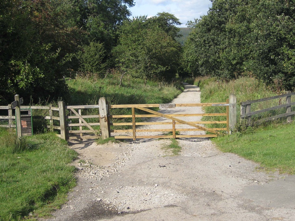 ModerateGoathland & Grosmont Circular12.4 km · 4.3 hr · At the trailheadWooded old railway down to Grosmont, then open moorland climb homeEasyMallyan Spout and Beck Hole4.3 km · 1.5 hr · At the trailheadA 70-foot ravine waterfall, then a wooded beck and old railway incline
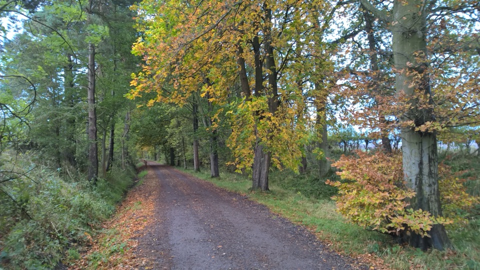 EasyGoathland Centenary Walk3.2 km · 1.3 hr · 0.1 km awayGentle two-mile village loop remembering 12 men lost in the Great War
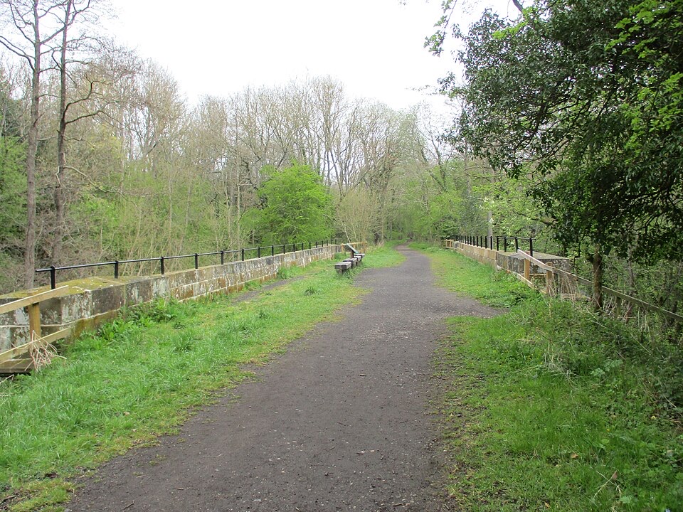 EasyGoathland to Grosmont Rail Trail5.6 km · 1.8 hr · 0.4 km awayGentle downhill walk along an 1836 railway line to Grosmont
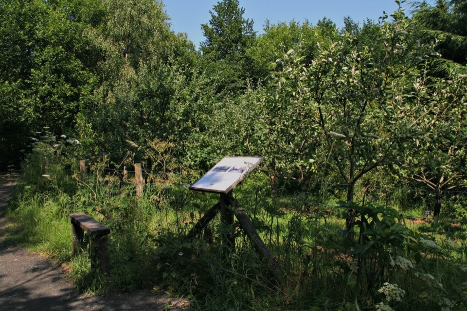 EasyMiles without Stiles (For all) - Esk Valley to Beck Hole4.8 km · 1.2 hr · 3.2 km awayLevel old railway beside the Murk Esk, three bridges to Beck Hole
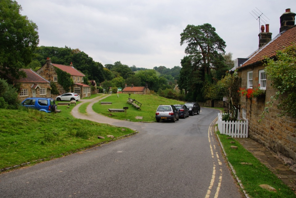 ModerateGrosmont to Beck Hole7.6 km · 2.3 hr · 4.1 km awayBluebell woods, riverside valley, then an old railway line home
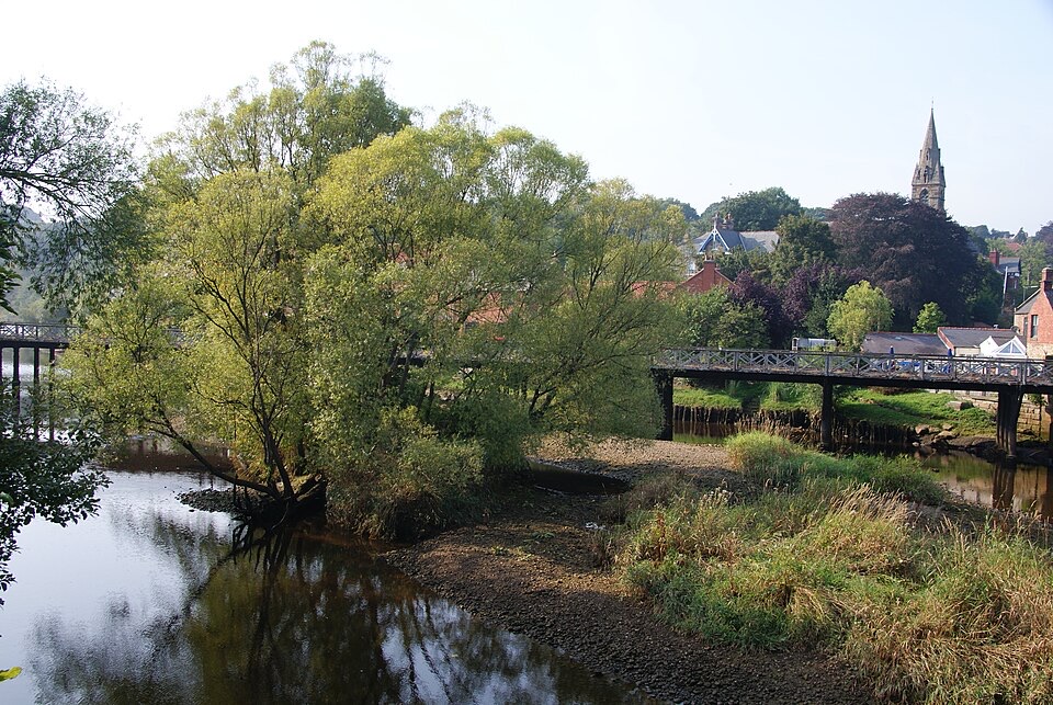 ChallengingGrosmont to Whitby (Esk Valley Walk 4)12.9 km · 3.3 hr · 4.4 km awayValley bridleways and villages from steam railway to Whitby pier
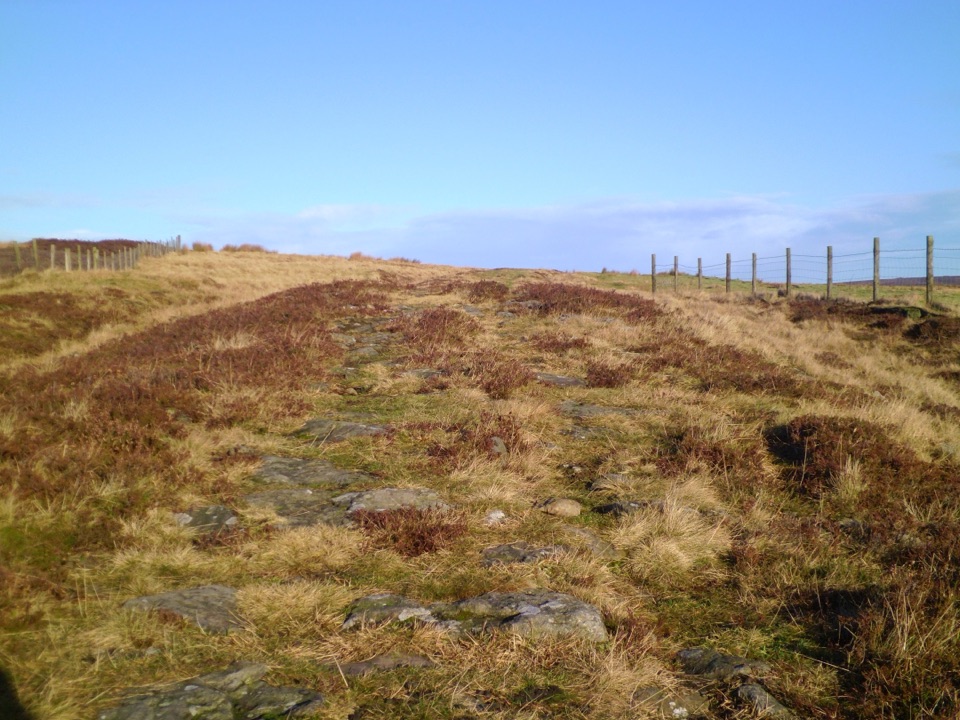 ModerateWheeldale Moor Circular18.2 km · 6 hr · 5.5 km awayForest tracks then four miles of open, boggy moor past boundary stones
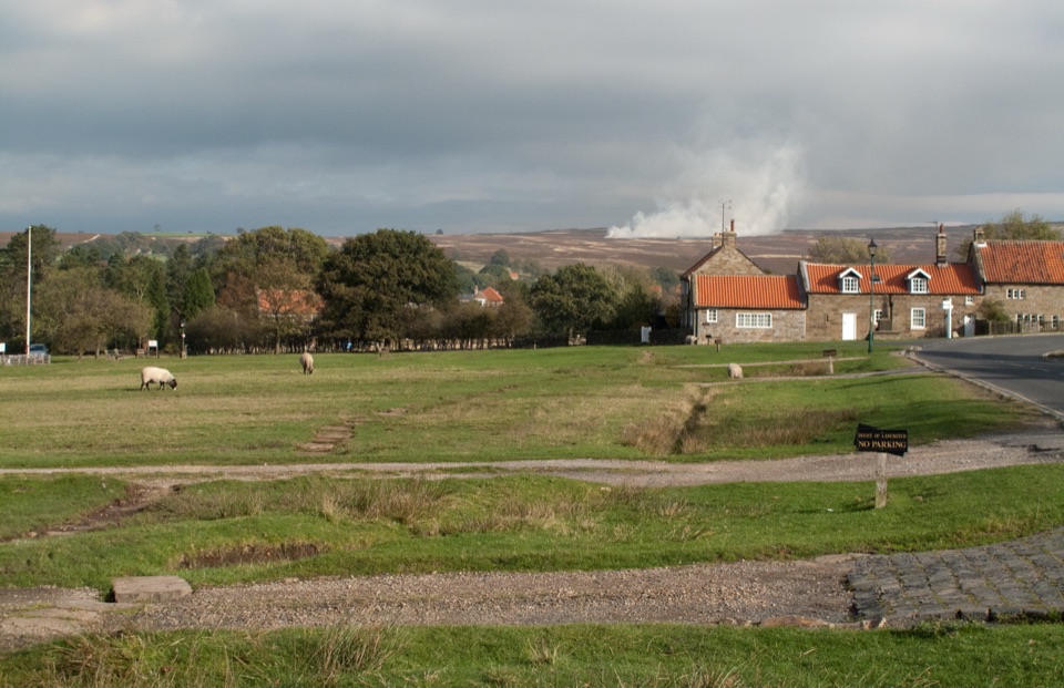 Sight · 0.1 km awayGoathlandSheep-grazed moorland village with a 70-foot waterfall below it
 Sight · 0.4 km awayGoathland StationGoathland Station: steam-age platform, Hogsmeade and Aidensfield on screen
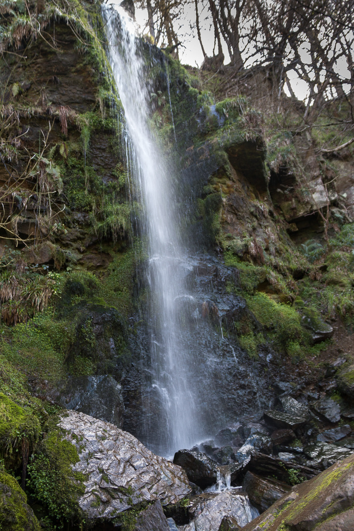 Sight · 1 km awayMallyan Spout WaterfallSeventy feet of water down a wooded sandstone ravine near Goathland
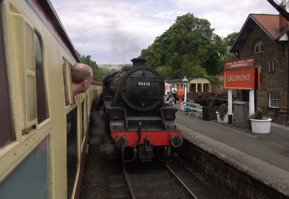 Sight · 4 km awayGrosmont StationEngine sheds, an 1835 tunnel and steam locomotives at workSight · 4.4 km awayWheeldale Roman RoadAncient stone causeway over heather moor, its builders still debated
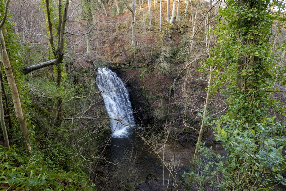 Sight · 5.9 km awayFalling Foss WaterfallA 9-metre fall of water in a steep, wooded valley near Whitby
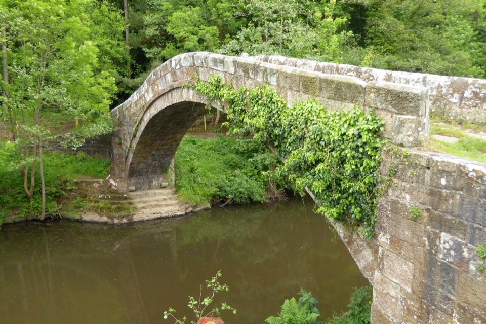 Sight · 6.4 km awayBeggar's BridgeHigh-arched 1619 packhorse bridge with a lovers' legend beside the Esk
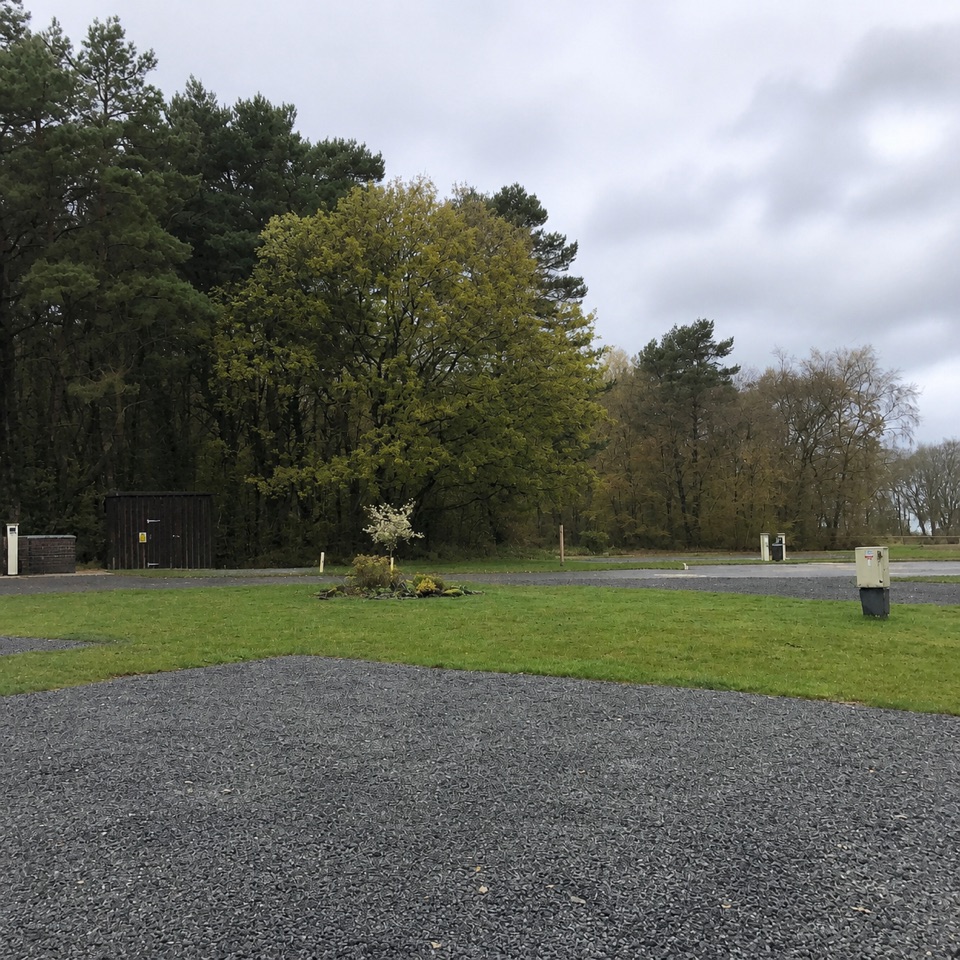 Campground · 6.5 km awayNorth Yorkshire Moors Club CampsiteQuiet wooded pitches with moorland views and walks from the gate
Parkwolf’s North York Moors ranking

The audio tour guide for the drive, plus offline maps, trails, and wildlife heatmaps for when the signal drops.





