Parking
Start at Goathland Station. The National Park car park (YO22 5LX) and pay-and-display parking on Beck Hole Road serve the village; the station-to-station format works well with a heritage-railway return.
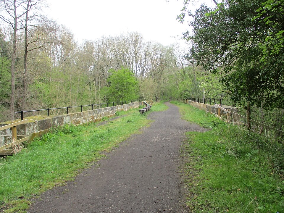
North York Moors National Park, EN
Gentle downhill walk along an 1836 railway line to Grosmont
Overview
Map & elevation
Plan your hike

The highest, rockiest slopes around here are a summer buffet for grizzly bears.
North York Moors Tour Guide
Parkwolf is a GPS audio tour guide for North York Moors National Park. As you drive, it chimes in with what’s ahead: hidden gems, upcoming stops, history, geology, and wildlife, right through your car’s speakers.
Recorded for this trailhead
Goathland Village and Station“You're coming up on Goathland, where sheep graze the village common and the station sits a short walk downhill.”
Plays as you drive up to this trailhead in the Parkwolf North York Moors Tour Guide.
More stories near here in the app
“Fantastic app with many points of information… It’s great to just turn on while you’re driving and it gives you an audio tour of the national Park. We love it!!!!”


Trail guide
This is a point-to-point trail, normally walked one way from Goathland Station to Grosmont Station. The signposted distance is 3.5 miles (about 5.5 km), and mapped route geometry measures a little under that at 3.4 miles along the full connected line. It can be walked in either direction, and the heritage railway makes an easy return leg.
Start at Goathland Station, pick up the signed trail through the village, then follow the course of the old railway. The path passes through and beside Beck Hole, then continues through woodland and open countryside in the Esk Valley before finishing at Grosmont Station. The line you are walking is George Stephenson's original 1836 railway route, so the payoff is a mix of quiet valley scenery and visible transport history, including heritage bridges and remains linked to ironstone mining and ironworking.
Easy overall, roughly 3 out of 10. The walk is gentle and mostly downhill from Goathland, dropping from around 145 metres near the start to about 36 metres near Grosmont. Allow about 1 hour 45 minutes one way with ordinary stops for photos, longer if you linger at Beck Hole or the heritage features.
The main access point is Goathland Station. In Goathland there is the National Park car park at YO22 5LX, and pay-and-display parking on Beck Hole Road. The station-to-station format works well if you walk one way and ride the heritage railway back.
Dogs are allowed on the rights of way here but must be kept under close control, with care taken around livestock. From 1 March to 31 July, guidance for relevant moorland areas is to use a lead shorter than 2 metres because of ground-nesting birds.
A relaxed heritage and valley walk, at its best when paired with a train ride. Clear weather opens up the valley views, while the woodland and bridges photograph well in softer morning or late-day light. It suits families and casual walkers.
If a waterfall matters more to you than railway history, the Mallyan Spout walk from Goathland is the more relevant alternative in the same village.
Wildlife
 15 sightingsEurasian OtterMost seen around 7 PMSighting map
 10 sightingsRed DeerMost seen around 7 AMSighting map
 79 sightingsGrey SealMost seen around noonSighting map
 26 sightingsWestern Barn OwlMost seen around 7 PMSighting map
 33 sightingsEuropean BadgerMost seen around 7 PMSighting map
 10 sightingsMute SwanMost seen around noonSighting map
Sighting maps show where each species has been reported across North York Moors. Wildlife moves, so no sighting is guaranteed.
Keep exploring
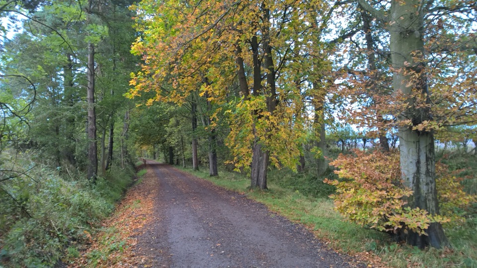 EasyGoathland Centenary Walk3.2 km · 1.3 hr · 0.2 km awayGentle two-mile village loop remembering 12 men lost in the Great War
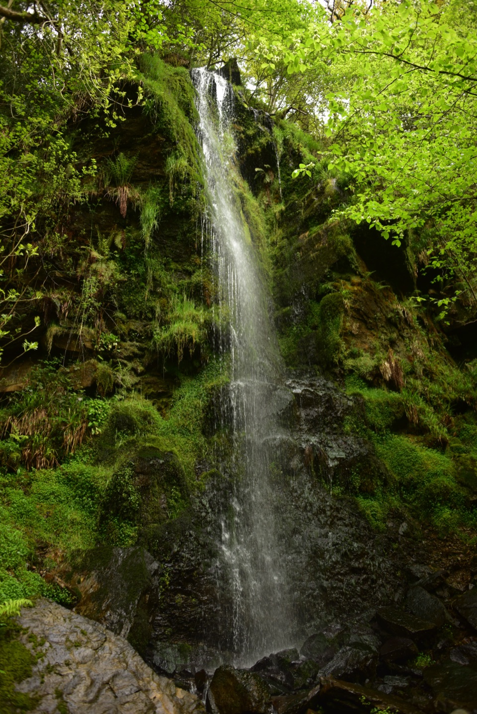 EasyMallyan Spout and Beck Hole4.3 km · 1.5 hr · 0.4 km awayA 70-foot ravine waterfall, then a wooded beck and old railway incline
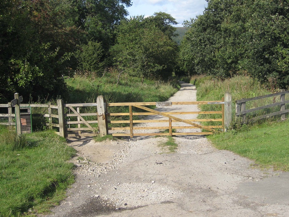 ModerateGoathland & Grosmont Circular12.4 km · 4.3 hr · 0.4 km awayWooded old railway down to Grosmont, then open moorland climb homeModerateGoathland, Mallyan Spout and the Roman Road13.2 km · 4.3 hr · 0.4 km awayWaterfall ravine, open heather moor and an ancient moorland causeway
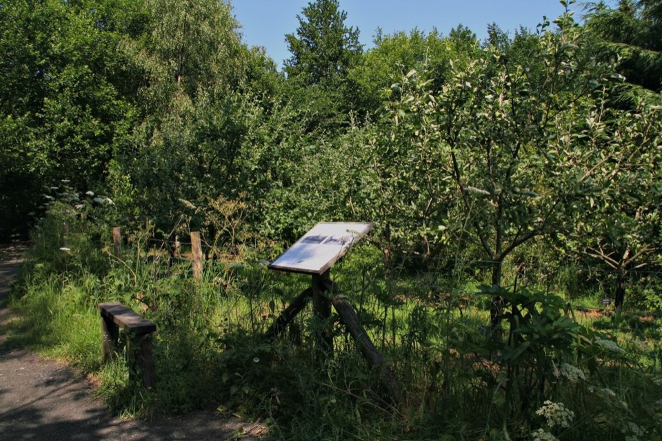 EasyMiles without Stiles (For all) - Esk Valley to Beck Hole4.8 km · 1.2 hr · 3.3 km awayLevel old railway beside the Murk Esk, three bridges to Beck Hole
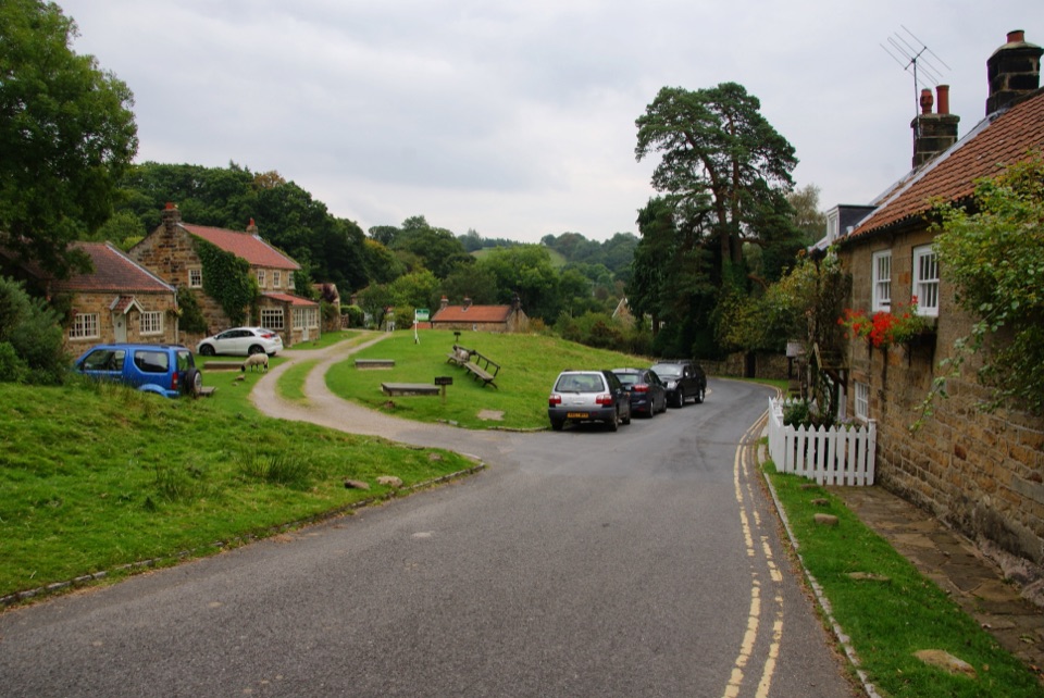 ModerateGrosmont to Beck Hole7.6 km · 2.3 hr · 4.1 km awayBluebell woods, riverside valley, then an old railway line home
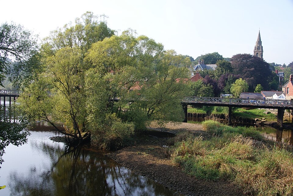 ChallengingGrosmont to Whitby (Esk Valley Walk 4)12.9 km · 3.3 hr · 4.4 km awayValley bridleways and villages from steam railway to Whitby pier
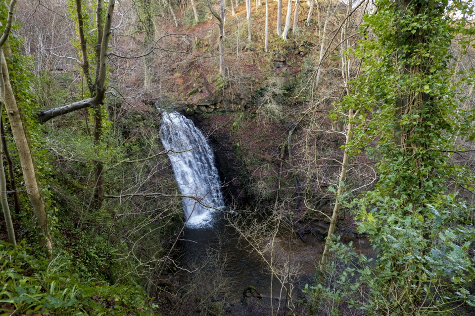 ModerateMay Beck and Falling Foss3.1 km · 1.5 hr · 5.6 km awayShady woodland loop to a waterfall, tea garden and beckside path
 Sight · At the trailheadGoathland StationGoathland Station: steam-age platform, Hogsmeade and Aidensfield on screen
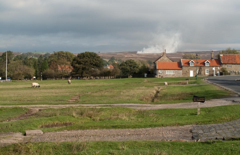 Sight · 0.5 km awayGoathlandSheep-grazed moorland village with a 70-foot waterfall below it
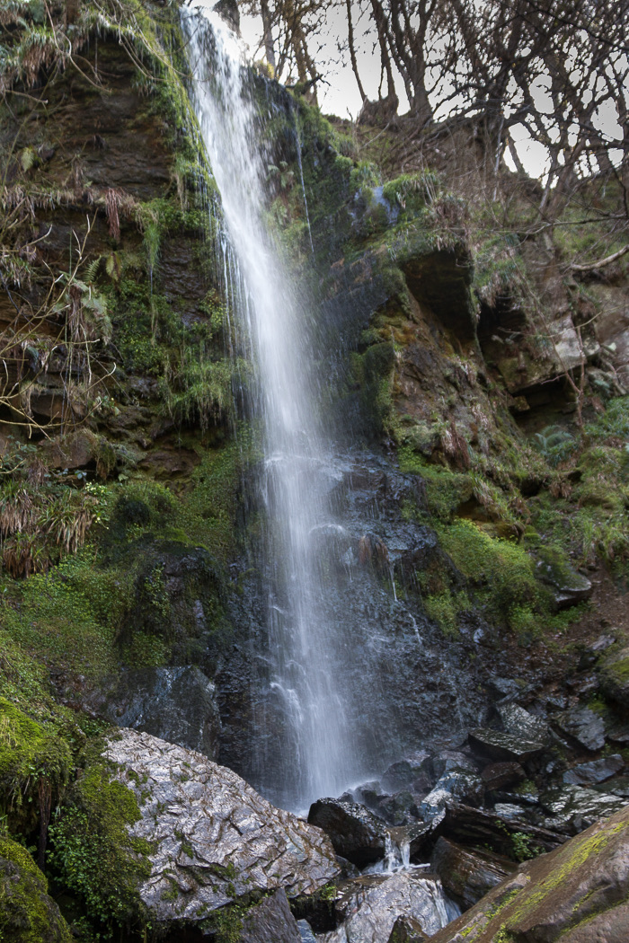 Sight · 1.3 km awayMallyan Spout WaterfallSeventy feet of water down a wooded sandstone ravine near Goathland
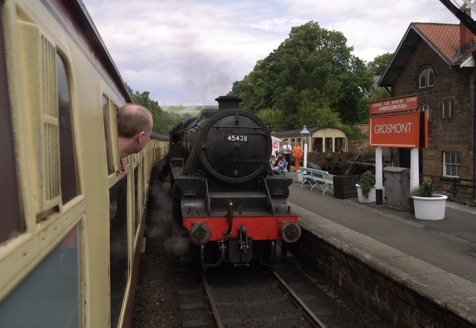 Sight · 4 km awayGrosmont StationEngine sheds, an 1835 tunnel and steam locomotives at work
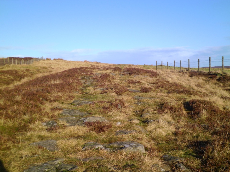 Sight · 4.7 km awayWheeldale Roman RoadAncient stone causeway over heather moor, its builders still debatedSight · 5.5 km awayFalling Foss WaterfallA 9-metre fall of water in a steep, wooded valley near Whitby
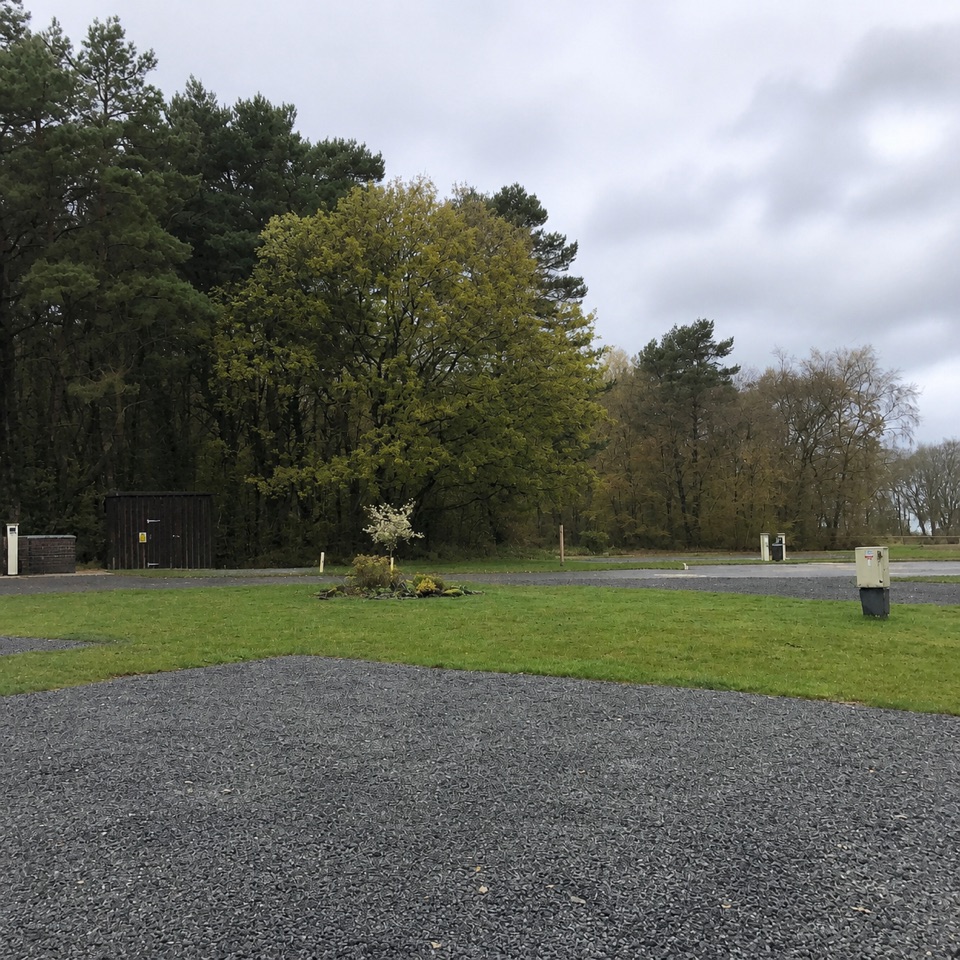 Campground · 6.2 km awayNorth Yorkshire Moors Club CampsiteQuiet wooded pitches with moorland views and walks from the gate
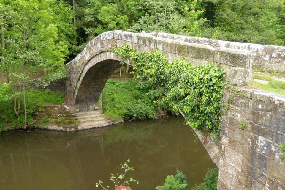 Sight · 6.7 km awayBeggar's BridgeHigh-arched 1619 packhorse bridge with a lovers' legend beside the Esk
Parkwolf’s North York Moors ranking

The audio tour guide for the drive, plus offline maps, trails, and wildlife heatmaps for when the signal drops.





