Hutton-le-Hole in North York Moors National Park

Sight · North York Moors National Park

Hutton-le-Hole

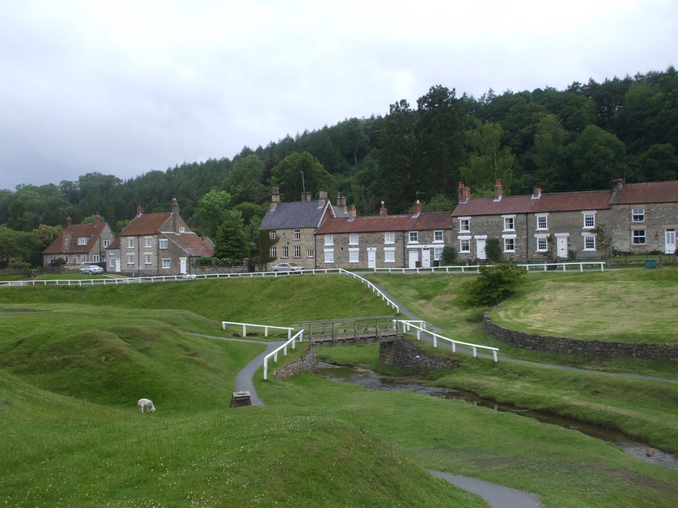
Hutton-le-Hole: clear moorland beck threading a broad, sheep-cropped green

Photo: Wikimedia Commons
Type
Sight
Nearest trail
0.3 km
Audio stories
3 nearby
  • Parking
  • Restrooms
  • Food
  • Restaurant
  • #16 of 55 sights

Hear the audio tour

Hutton-le-Hole and Ryedale Folk Museum

Overview

About Hutton-le-Hole

Why stop

  • Unusually generous green with the beck, bridges and cottages in one view

Heads up

  • The core stop is compact unless you add the museum or a walk
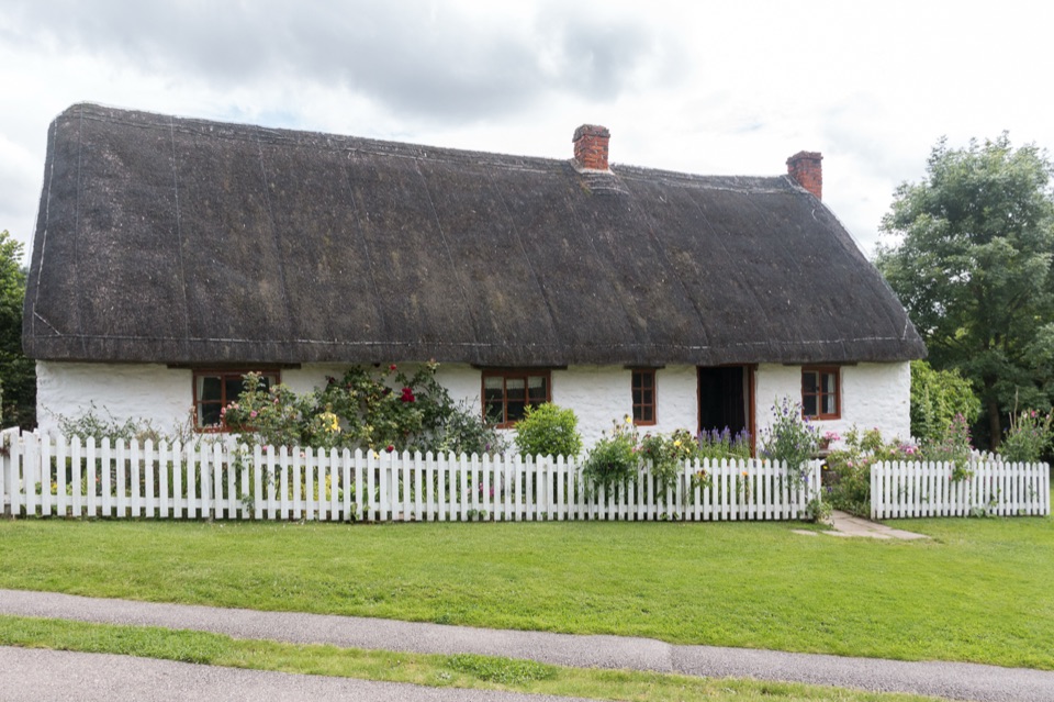
Most moorland villages give you a street of stone cottages and leave it at that. Here the shape of the place is the attraction: Hutton Beck, a clear moorland stream, meanders straight through a broad village green, with stone cottages set back behind grass and a white picket fence along part of it. Footbridges cross the beck, and sheep graze the green, which is why the grass looks the way it does.
Parkwolf’s verdictWhy stop

Map

Where it is

Loading the North York Moors map
Full map
SightHutton-le-Hole54.30060, -0.91841
Keep this map with you offline in the Parkwolf app

Plan your stop

Before you go

Best time to go

My recommendation: aim for early morning or late afternoon, when the light across the green and the water is softer and the visit tends to feel quieter. Midday sun flattens the scene and is the least interesting time to photograph it.

Drawbacks to weigh up:

  • The appeal is the setting, so rain removes most of the reason to be here unless you are heading indoors or into the museum buildings
  • Parking is a finite set of surface car parks, and the museum has none of its own
  • The green is grazed by sheep, so it is working grass rather than a manicured park
  • If you want a wilder moorland feel, this is a cultivated, settled scene, and the higher moors over Blakey Ridge deliver that better


Getting there and parking

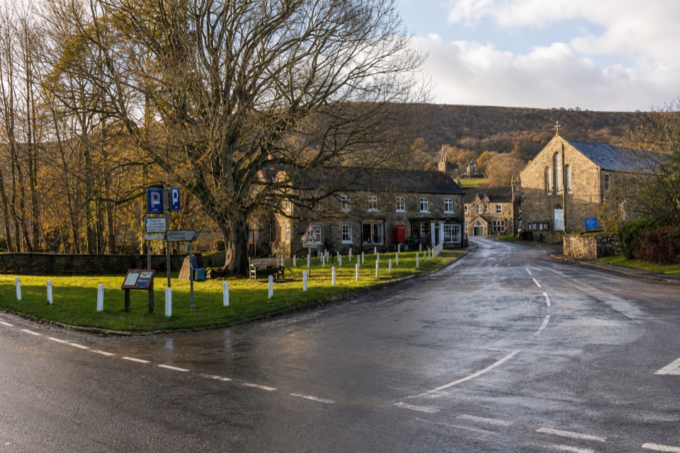
The village sits on the road that runs from Kirkbymoorside over Blakey Ridge towards Castleton, roughly two miles north of the A170. Postcode for the museum end of the village is YO62 6UA.

  • There is a North York Moors car park on Moor Lane, which is the sensible default
  • The Crown Inn has its own car park next door to the museum
  • The museum itself owns no car park, so do not drive expecting one
  • A public toilet building stands near the Moor Lane parking area
  • Other small surface parking areas exist around the village, but plan on Moor Lane

8 active North York Moors alerts

  • ClosureHawnby Bridleway 110 closurePublic Bridleway 25.122/110/1 in Hawnby is closed to pedestrians, cyclists and equestrians because its bridge is unsafe. - The closure is between grid references SE 5309 9073 and SE 5335 9097.Official details
  • ClosureWest Ayton Footpath 1 closurePublic Footpath 1 in West Ayton (Forge Valley) is temporarily closed because its boardwalk is unsafe. - The closure is between SE 9860 8494 and SE 9839 8712.Official details
See all 8 alerts
A park ranger sits on a dash-mounted phone, talking, as Parkwolf’s Tour Guide plays “Army Cutworm Moths: A Grizzly Bear Buffet” on Grand Loop Road below Dunraven Pass in Yellowstone
Parkwolf Tour GuideThe highest, rockiest slopes around here are a summer buffet for grizzly bears.

North York Moors Tour Guide

Your drive to Hutton-le-Hole, narrated.

Parkwolf is a GPS audio tour guide for North York Moors National Park. As you drive, it chimes in with what’s ahead: hidden gems, upcoming stops, history, geology, and wildlife, right through your car’s speakers.

Recorded for this place

Hutton-le-Hole and Ryedale Folk Museum
0:00 / 0:32
“Up ahead is Hutton-le-Hole, where a beck winds through a broad green grazed by sheep. A village wander can be brief, but give Ryedale Folk Museum around three hours if local history interests you.”

Plays as you drive up to Hutton-le-Hole in the Parkwolf North York Moors Tour Guide.

More stories near here in the app

  • The Sundial That Dates a Church
  • St Mary's Church, Lastingham
  • Three Heathers, One Purple Moor
  • The Road Across Rudland Rigg
  • 298 audio storiesacross North York Moors’s roads, triggered by GPS as you drive
  • Wildlife heatmapsfor Eurasian Otter, Red Deer, Grey Seal, and 13 more
  • Works offlinemaps, 126 trails, 65 places, and audio download before you lose signal
  • CarPlay readysimple controls built for the drive
★★★★★
“Fantastic app with many points of information… It’s great to just turn on while you’re driving and it gives you an audio tour of the national Park. We love it!!!!”
JMJamesApp Store review
Download Parkwolf on the App StoreGet Parkwolf on Google Play

4.7 from 8,600+ ratings

Guide

More about Hutton-le-Hole

What it actually looks likeWorth knowing that the tidy look is recent in historical terms.

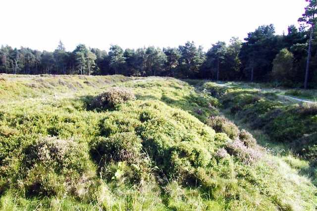
Worth knowing that the tidy look is recent in historical terms. Victorian observers were blunt about the village, criticising overcrowded weavers' and smallholders' homes, a farmyard-like green, and a beck used as a sewer. Even the name is debated, with the "hole" element possibly pointing to Bronze Age burial hollows in the moorland nearby, though that is a suggestion rather than settled fact.

  • The green and the beck are the visual heart, wide open grass rather than a tight village street
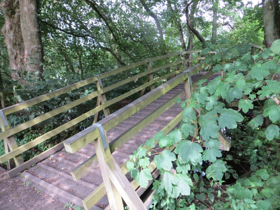
  • White railings and small footbridges over the water
  • Stone cottages edging the green on both sides
  • Sheep on the grass, so watch where you sit and keep dogs under close control as a courtesy around grazing animals
Food and shopsSmall but genuinely useful: The Crown as pub and restaurant, The Barn Tea Rooms, The Forge Tea…

Small but genuinely useful: The Crown as pub and restaurant, The Barn Tea Rooms, The Forge Tea Rooms, The Old School House Deli, Shop on the Green, and a few other small shops. Enough for coffee, cake, lunch or picnic supplies before a walk.

Optional add-on: Ryedale Folk MuseumIn the village, and a major optional add-on.

In the village, and a major optional add-on. It is a separate visit from the green rather than part of it.

It is an outdoor-heavy site, so it suits dry, brighter weather far better than a wet day.

  • Over six acres of open-air site with more than 20 heritage buildings and around 40,000 objects
  • Highlights include a medieval manor house, an Iron Age roundhouse, a farming area and a heritage orchard
  • About 300m from the Moor Lane car park
  • Facilities on site: toilets including an accessible toilet, baby change, outdoor picnic areas and a gift shop
  • Access is honest rather than ideal: on a large open-air site, access is limited and uneven across parts of it. Those facilities belong to the museum, so do not assume the same standard applies across the village or the green.
Walking from hereThe village works well as a walking base rather than only a photo stop.

The village works well as a walking base rather than only a photo stop. Two route listings from here, with figures as planning estimates only:

Check the route and ground conditions yourself before setting off, since moorland underfoot changes with weather.

  • Hutton-le-Hole and Lastingham, about 4.7 miles, graded moderate, roughly 826 feet of ascent, commonly estimated at 2 to 2.5 hours
  • A longer Hutton-le-Hole Moor Circular of about 9.4 miles
Why stopIt is a short, unhurried kind of stop.

It is a short, unhurried kind of stop. You walk the green, follow the beck, look at the cottages from a few angles, then either sit with something from one of the tea rooms or move on to a walk.

Wildlife

Wildlife in North York Moors

All North York Moors wildlife maps

Sighting maps show where each species has been reported across North York Moors. Wildlife moves, so no sighting is guaranteed.

Keep exploring

Near Hutton-le-Hole

See it all on the map

Trails nearby

More stops nearby

Parkwolf’s North York Moors ranking

Top sights in North York Moors

All 65 places
  1. 1North Yorkshire Moors RailwaySight
  2. 2Roseberry ToppingSight
  3. 3Rievaulx AbbeySight
  4. 4Robin Hood's Bay and BeachSight
  5. 5Hole of HorcumSight
  6. 6Goathland StationSight

Take Parkwolf to North York Moors.

The audio tour guide for the drive, plus offline maps, trails, and wildlife heatmaps for when the signal drops.

4.7 from 8,600+ ratings

Download Parkwolf on the App StoreGet Parkwolf on Google Play