Bank Top Kilns in North York Moors National Park

Sight · North York Moors National Park

Bank Top Kilns

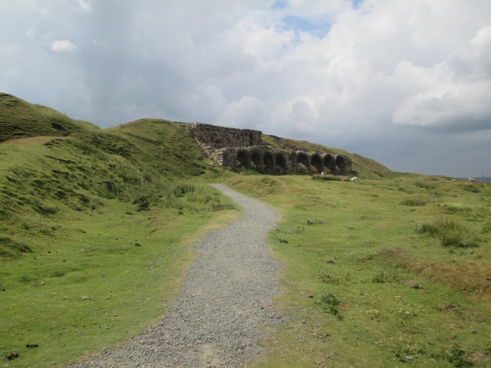
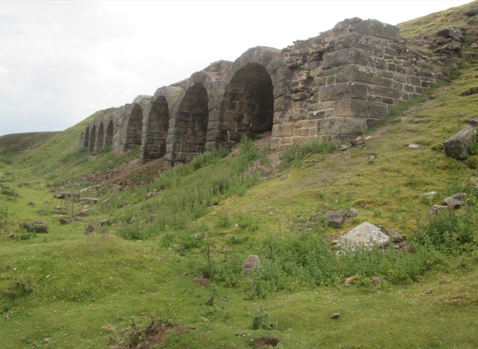
Victorian ironstone roasting arches standing open on the Rosedale moor

Photo: Wikimedia Commons
Type
Sight
Nearest trail
0.3 km
Audio stories
7 nearby
  • Parking

Hear the audio tour

Rosedale Bank Top Kilns

Overview

About Bank Top Kilns

Why stop

  • Industrial history is unusually legible in the surviving ruins

Heads up

  • Exposed moorland and unsafe kiln structures limit exploration
This was the processing and transport centre for Rosedale ironstone. Mining began in earnest in 1856, after discoveries a few years earlier, and a mineral railway opened in 1861 to link the Rosedale mines and kilns with ironworks on the River Tees. The scale of the change is easy to grasp in numbers: roughly 4,000 tons went out before the railway, and 250,000 tons in 1865 alone. The mines closed in 1911, east-side workings reopened during the First World War, final production ended in 1926 and the railway closed in 1929. Four of the original 16 railway cottages still stand.
Parkwolf’s verdictWhy it matters

Map

Where it is

Loading the North York Moors map
Full map
SightBank Top Kilns54.34435, -0.89263
Keep this map with you offline in the Parkwolf app

Plan your stop

Before you go

Getting there and what to do

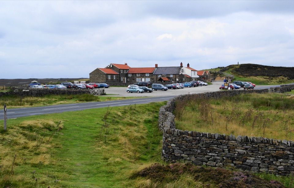
  • Start from the Rosedale Chimney Bank car park, which overlooks the valley and has free parking.
  • A well-defined gravel track leads from the car park to the stone ruins, a short walk.
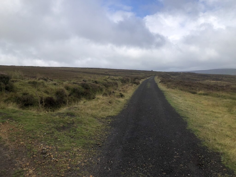
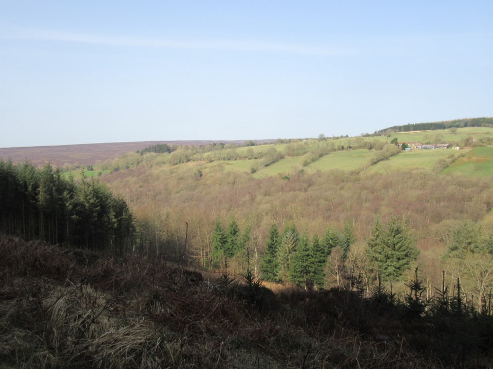
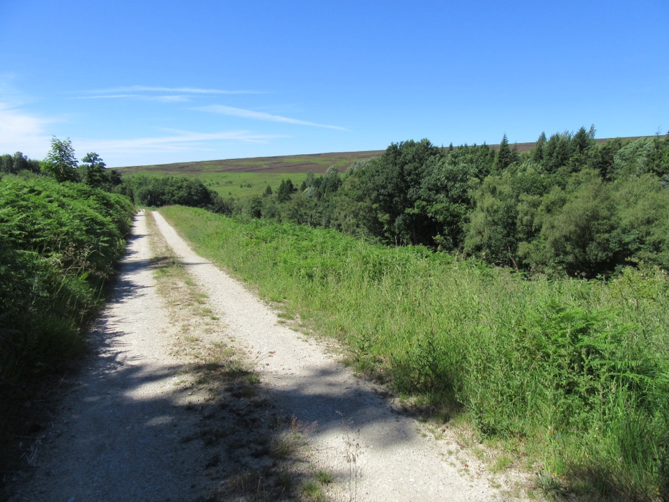
  • From the kilns you can carry on along the line of the old railway for more valley views.
  • Longer option: a 7.5 mile (12 km) circuit of about five hours from Rosedale Abbey passes the kilns on the old railway. It is a proper walk, not a stroll, using minor roads, farm lanes and farmyards with many gates and one stile.


8 active North York Moors alerts

  • ClosureHawnby Bridleway 110 closurePublic Bridleway 25.122/110/1 in Hawnby is closed to pedestrians, cyclists and equestrians because its bridge is unsafe. - The closure is between grid references SE 5309 9073 and SE 5335 9097.Official details
  • ClosureWest Ayton Footpath 1 closurePublic Footpath 1 in West Ayton (Forge Valley) is temporarily closed because its boardwalk is unsafe. - The closure is between SE 9860 8494 and SE 9839 8712.Official details
See all 8 alerts
A park ranger sits on a dash-mounted phone, talking, as Parkwolf’s Tour Guide plays “Army Cutworm Moths: A Grizzly Bear Buffet” on Grand Loop Road below Dunraven Pass in Yellowstone
Parkwolf Tour GuideThe highest, rockiest slopes around here are a summer buffet for grizzly bears.

North York Moors Tour Guide

Your drive to Bank Top Kilns, narrated.

Parkwolf is a GPS audio tour guide for North York Moors National Park. As you drive, it chimes in with what’s ahead: hidden gems, upcoming stops, history, geology, and wildlife, right through your car’s speakers.

Recorded for this place

Rosedale Bank Top Kilns
0:00 / 0:32
“You're nearing Bank Top Kilns above Rosedale. Those long stone arches were ovens, not doorways: Victorian workers roasted ironstone with coal to make it lighter before the mineral railway carried it across the moors.”

Plays as you drive up to Bank Top Kilns in the Parkwolf North York Moors Tour Guide.

More stories near here in the app

  • A Fifth of a Second on Chimney Bank
  • Rosedale Abbey Village
  • The Chimney That Cleared the Mine
  • The Ore Hidden in a Road
  • 298 audio storiesacross North York Moors’s roads, triggered by GPS as you drive
  • Wildlife heatmapsfor Eurasian Otter, Red Deer, Grey Seal, and 13 more
  • Works offlinemaps, 126 trails, 65 places, and audio download before you lose signal
  • CarPlay readysimple controls built for the drive
★★★★★
“Fantastic app with many points of information… It’s great to just turn on while you’re driving and it gives you an audio tour of the national Park. We love it!!!!”
JMJamesApp Store review
Download Parkwolf on the App StoreGet Parkwolf on Google Play

4.7 from 8,600+ ratings

Guide

More about Bank Top Kilns

What you seeA long, low row of stone arches set into a grassy moorland slope above Rosedale.

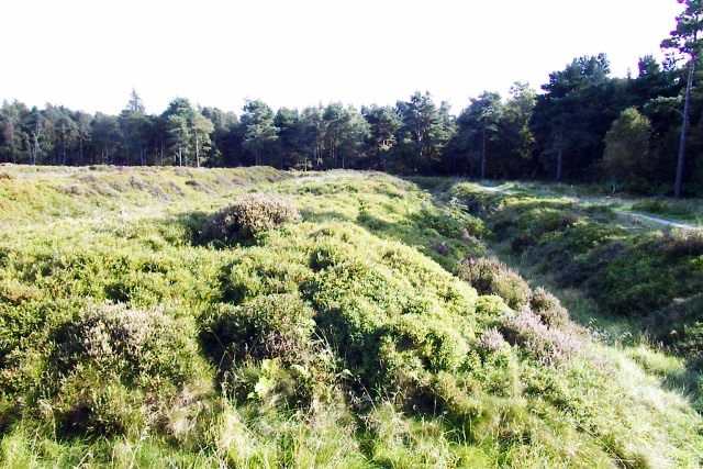
A long, low row of stone arches set into a grassy moorland slope above Rosedale. The openings look like small archways from a distance, but they are ovens: calcining kilns where ironstone was broken up, mixed with coal and roasted to concentrate the iron and cut its weight by up to half before it was hauled away. Crumbling kilns, chimney stubs and other industrial remains are scattered around, with broad views down and across the valley.

Know before you goView the ruins from outside only.
  • View the ruins from outside only. The ruined kiln buildings can be dangerous and should not be explored or climbed.
  • The site and the old railway route are exposed, and can be windy and cold in winter. Bring windproof layers.
  • The approach is a gravel track over open ground, so plan footwear accordingly.
  • Dogs must be on a lead on the old railway track and anywhere near livestock.
  • Bright overcast light suits the stonework, picking out the repeated arches without harsh shadow.

Wildlife

Wildlife in North York Moors

All North York Moors wildlife maps

Sighting maps show where each species has been reported across North York Moors. Wildlife moves, so no sighting is guaranteed.

Keep exploring

Near Bank Top Kilns

See it all on the map

Trails nearby

More stops nearby

Parkwolf’s North York Moors ranking

Top sights in North York Moors

All 65 places
  1. 1North Yorkshire Moors RailwaySight
  2. 2Roseberry ToppingSight
  3. 3Rievaulx AbbeySight
  4. 4Robin Hood's Bay and BeachSight
  5. 5Hole of HorcumSight
  6. 6Goathland StationSight

Take Parkwolf to North York Moors.

The audio tour guide for the drive, plus offline maps, trails, and wildlife heatmaps for when the signal drops.

4.7 from 8,600+ ratings

Download Parkwolf on the App StoreGet Parkwolf on Google Play