Parking
Hutton le Hole National Park car park (YO62 6UB/6UA), start and finish; public toilets, including an accessible toilet with a RADAR key.
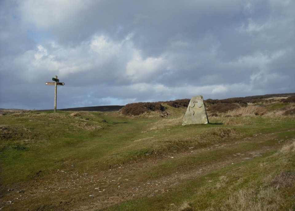
North York Moors National Park, EN
Field paths and moor edge link two villages under Spaunton's escarpment
Overview
Map & elevation
Plan your hike

The highest, rockiest slopes around here are a summer buffet for grizzly bears.
North York Moors Tour Guide
Parkwolf is a GPS audio tour guide for North York Moors National Park. As you drive, it chimes in with what’s ahead: hidden gems, upcoming stops, history, geology, and wildlife, right through your car’s speakers.
Recorded for this trailhead
Hutton-le-Hole and Ryedale Folk Museum“Up ahead is Hutton-le-Hole, where a beck winds through a broad green grazed by sheep. A village wander can be brief, but give Ryedale Folk Museum around three hours if local history interests you.”
Plays as you drive up to this trailhead in the Parkwolf North York Moors Tour Guide.
More stories near here in the app
“Fantastic app with many points of information… It’s great to just turn on while you’re driving and it gives you an audio tour of the national Park. We love it!!!!”


Trail guide
A loop of about 4 miles / 6.4 km, usually walked in around 2 hours 30 minutes. It starts and finishes at the Hutton le Hole National Park car park (grid reference SE 705 902), so you can leave the car once and walk the whole thing without retracing your steps.
From Hutton le Hole, with its open green and the beck running through it, the walk heads out along the edge of the moors towards Lastingham. A short detour there takes you to St Mary's, where the eleventh-century crypt is the atmospheric highlight of the day. The return climbs out onto the southern edge of Spaunton Moor and crosses fields and paths by way of Austin Head, with sweeping views from the Spaunton escarpment before the drop back into the village.
This is a moderate walk rather than a strenuous one, but it is not flat. Expect quiet fields, country lanes and moorland tracks, plus woodland sections that include a fairly steep ascent. Surfaces vary and are not made up throughout, so field paths and tracks can be muddy and slippery after rain. Boots with grip are sensible in any season. There are gates rather than stiles along the way.
There is a short section on a minor moorland road, along with stretches of country lane, so keep alert for occasional vehicles and walk facing traffic where there is no verge. Carrying the OS map or a GPS track helps at field boundaries and where paths cross open ground.
Wildlife
 15 sightingsEurasian OtterMost seen around 7 PMSighting map
 10 sightingsRed DeerMost seen around 7 AMSighting map
 79 sightingsGrey SealMost seen around noonSighting map
 26 sightingsWestern Barn OwlMost seen around 7 PMSighting map
 33 sightingsEuropean BadgerMost seen around 7 PMSighting map
 10 sightingsMute SwanMost seen around noonSighting map
Sighting maps show where each species has been reported across North York Moors. Wildlife moves, so no sighting is guaranteed.
Keep exploring
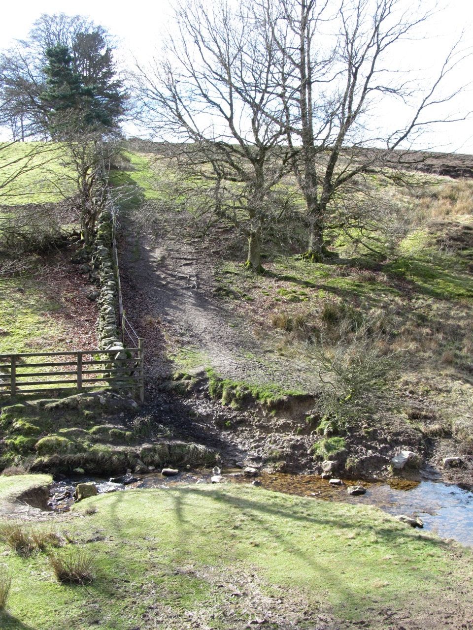 ModerateLastingham and Rosedale Circular12 km · 3.5 hr · At the trailheadMoorland loop from Hutton-le-Hole with an ancient crypt and wide views
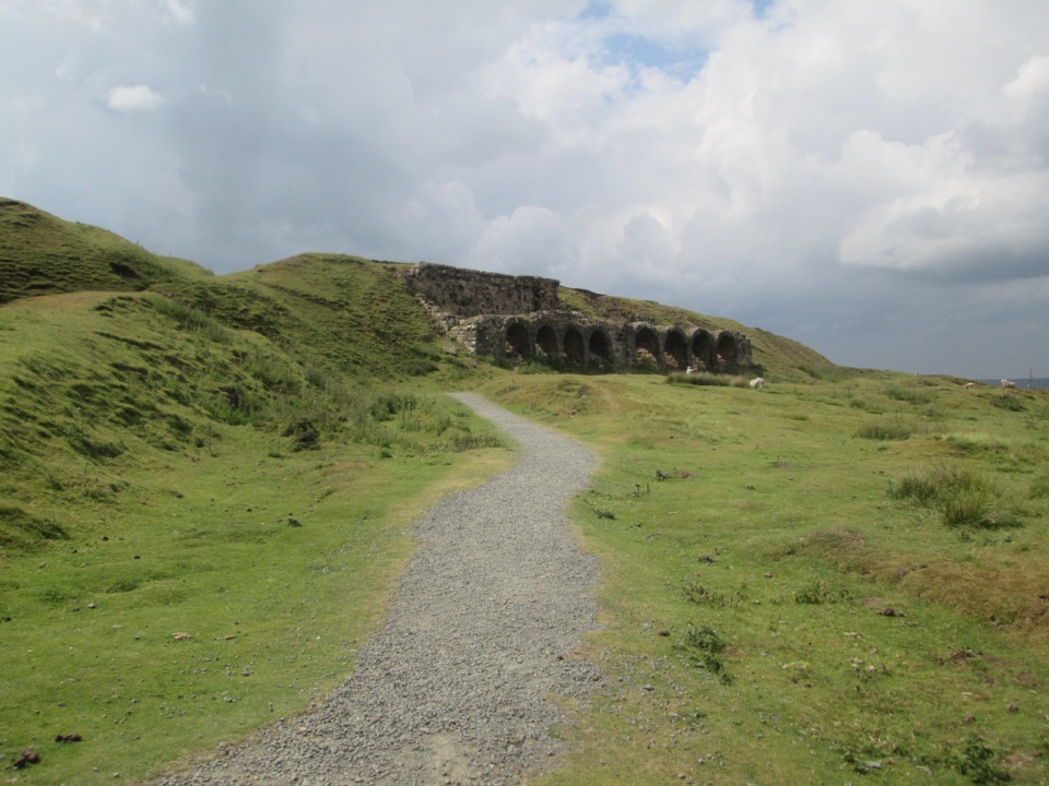 EasyMiles without Stiles (For many) - Rosedale Mineral Railway2 km · 1 hr · 5.1 km awayLevel cinder railway past ironstone kilns to a bench above Rosedale
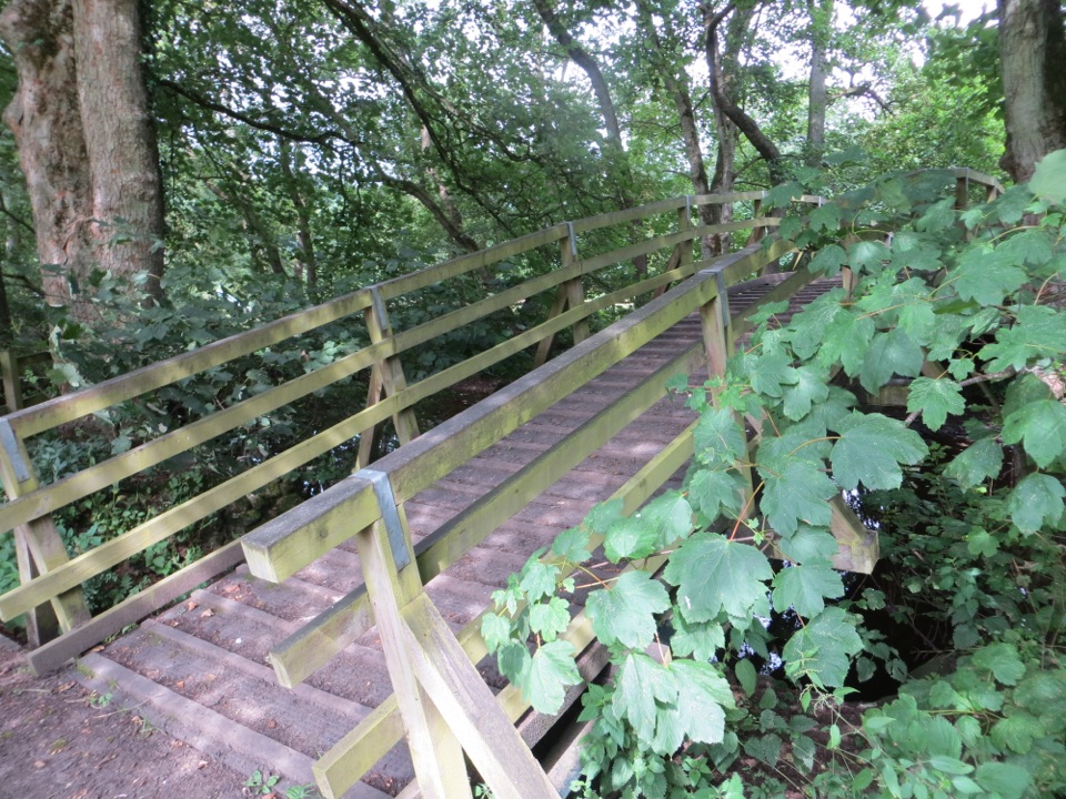 ModerateCropton Round Walk7.1 km · 2.5 hr · 5.1 km awayField paths, winding river and woodland circuit from Cropton village
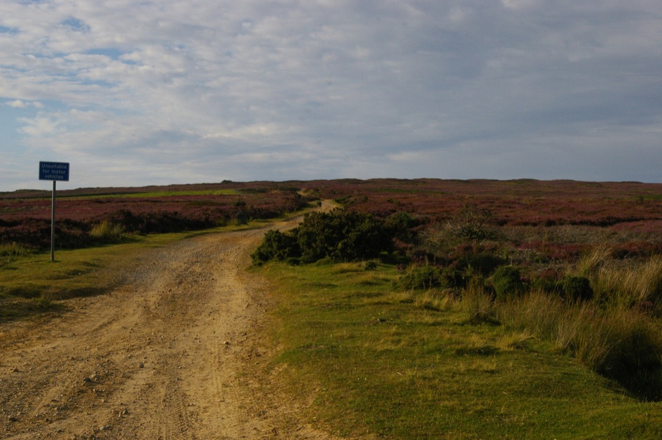 ChallengingRudland Rigg, Cockayne, Bilsdale East Moor and Bransdale19 km · 5 hr · 5.2 km awayOld drove road ridge, hidden dale hamlet and a long moor return
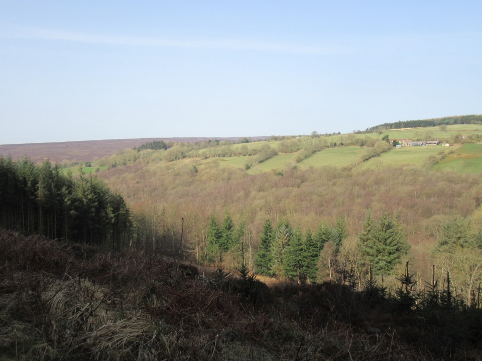 EasyCropton Forest Ramble4.5 km · 1.3 hr · 5.3 km awayPine plantation and woodland heath on a red-waymarked forest loop
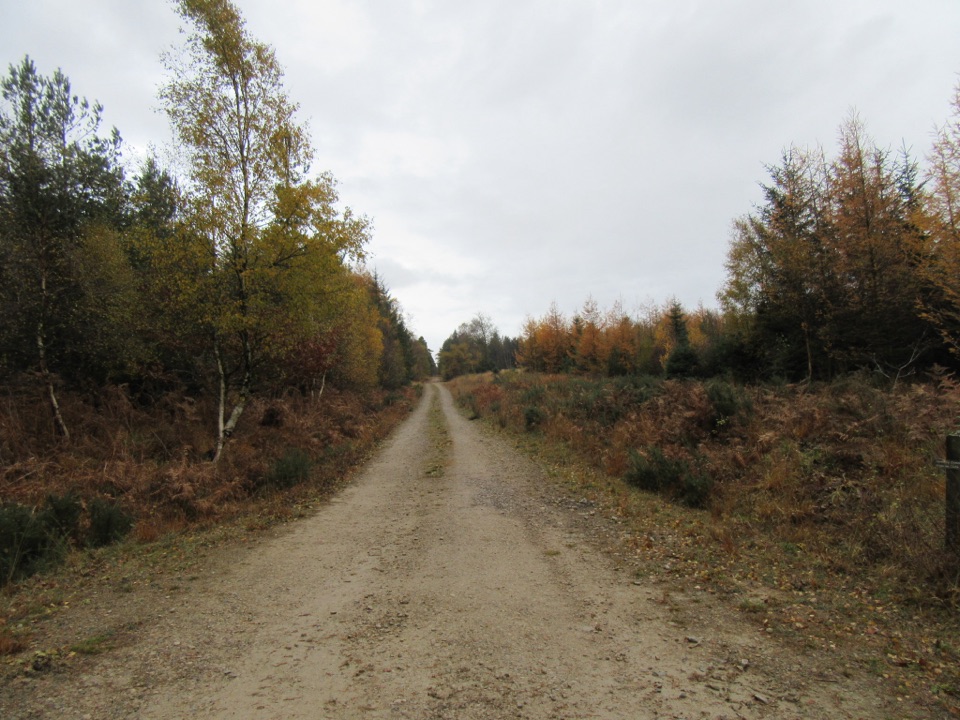 EasyLittle Beck Walk1.6 km · 45 min · 5.3 km awayGreen waymarkers lead a gentle mile through conifers to Little Beck.
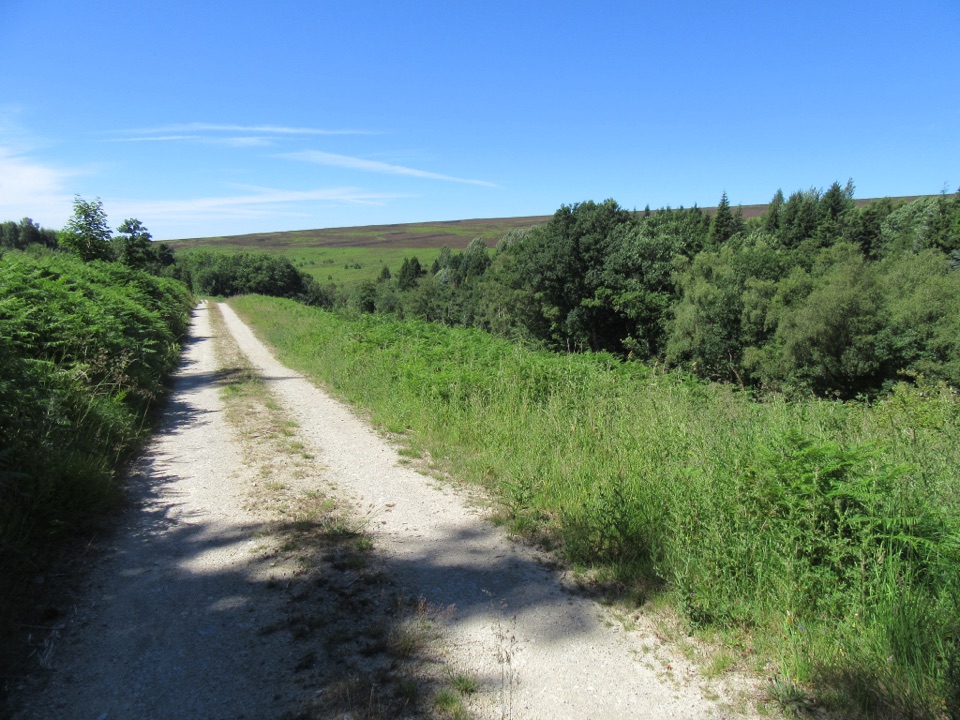 EasySpiers Bank Walk4.8 km · 1.5 hr · 5.3 km awayGravel forest roads climb to open heather and Rosedale valley views
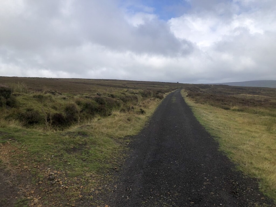 ModerateRosedale Abbey and Blakey Ridge Circular Walk10 km · 3.8 hr · 5.9 km awayRiverside fields climb to an old ironstone railway high above Rosedale
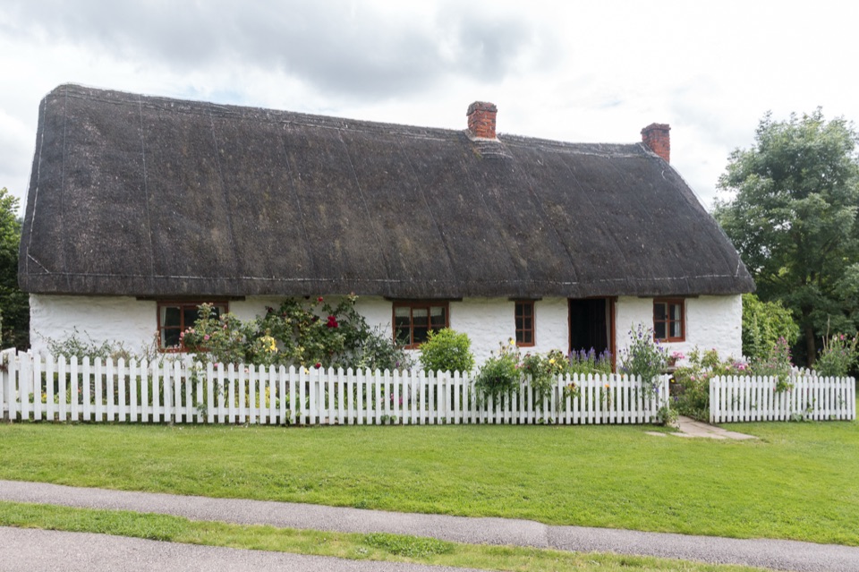 Sight · 0.1 km awayRyedale Folk MuseumRebuilt dales cottages and workshops you can walk right into
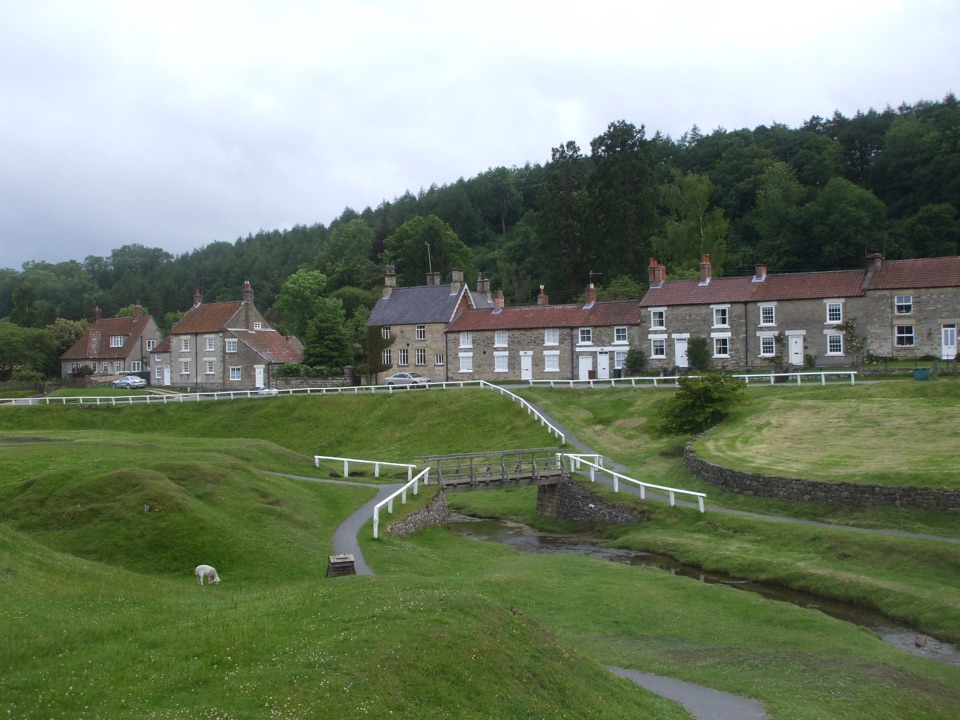 Sight · 0.3 km awayHutton-le-HoleHutton-le-Hole: clear moorland beck threading a broad, sheep-cropped green
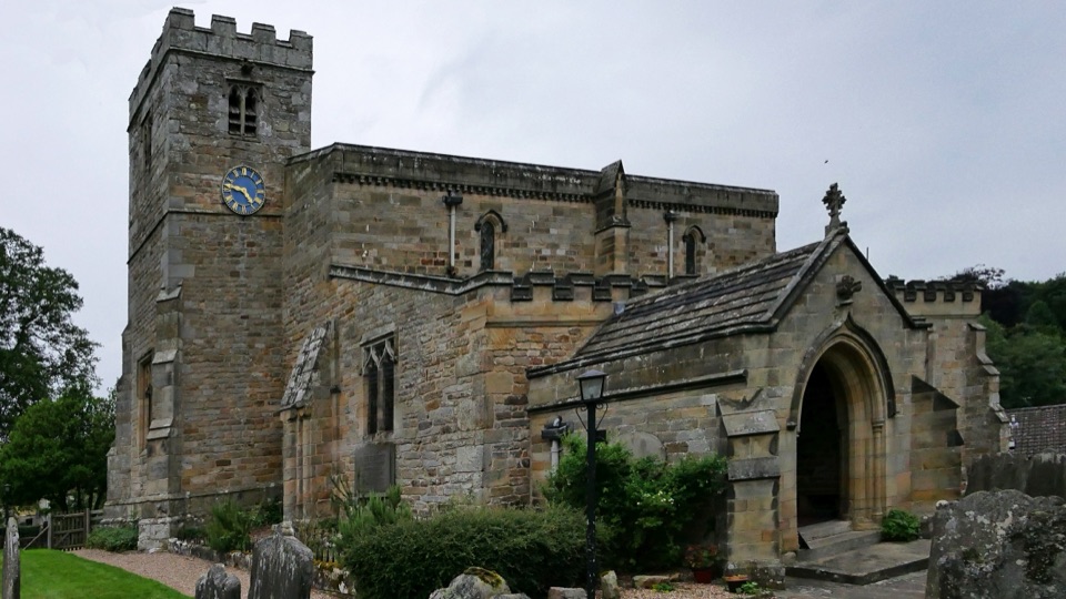 Sight · 2.2 km awaySt Mary's Church, LastinghamA rare double-aisled Norman crypt beneath a moor-edge village church
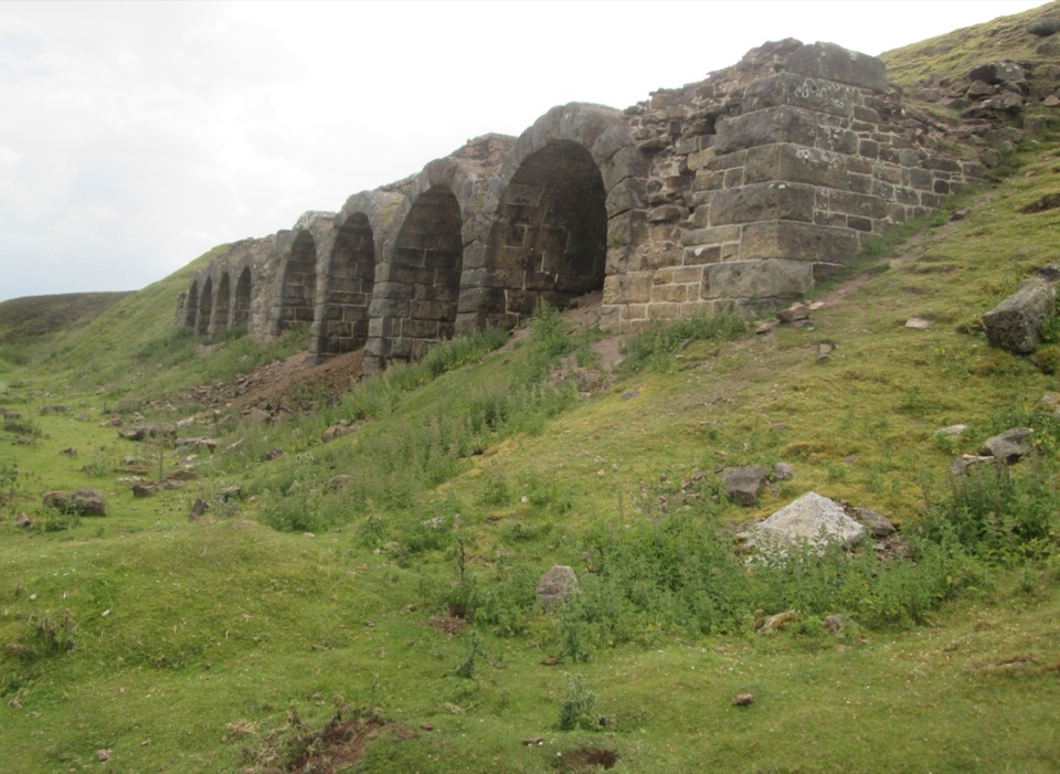 Sight · 4.9 km awayBank Top KilnsVictorian ironstone roasting arches standing open on the Rosedale moor
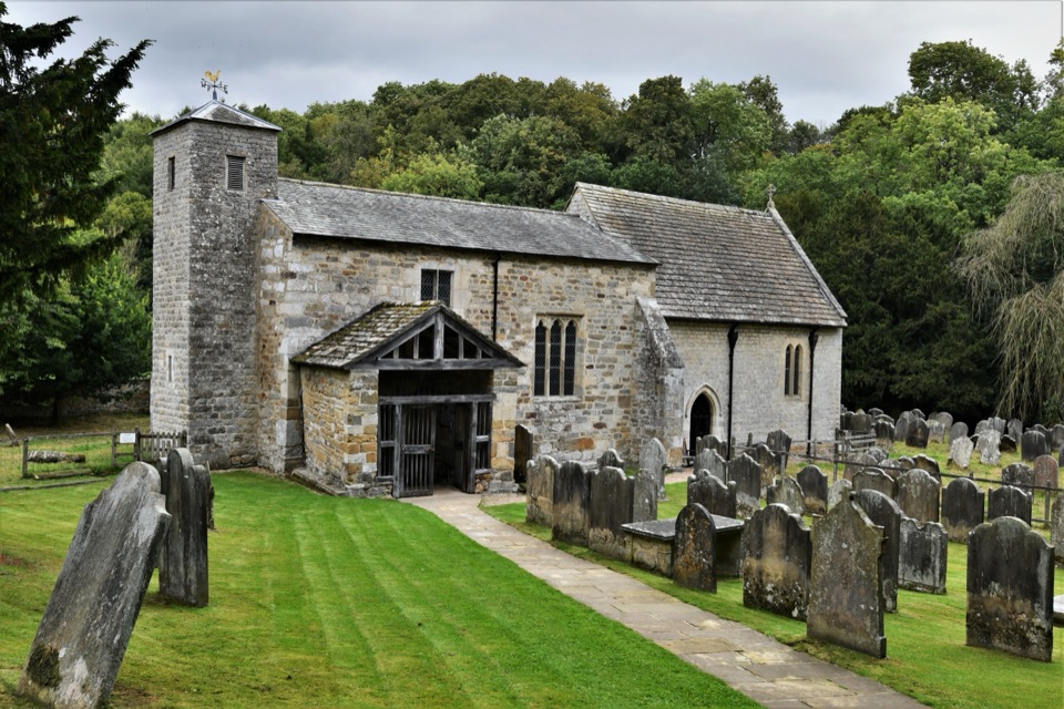 Sight · 5.3 km awaySt Gregory's Minster, KirkdaleAnglo-Saxon sundial and inscription above a quiet valley church door
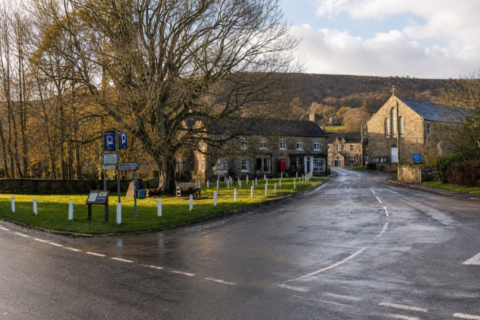 Sight · 6 km awayRosedale AbbeyGreen-centred dale village with ironstone kilns and moorland walks
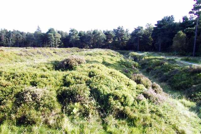 Sight · 7.6 km awayCawthorn Roman CampsMile-long walk around four Roman earthworks with wide moorland views.
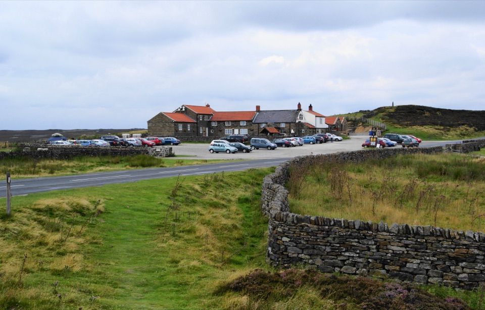 Restaurant · 9.8 km awayThe Lion Inn, Blakey RidgeOpen fires and vast moorland views at a 16th-century ridge-top freehouse
Parkwolf’s North York Moors ranking

The audio tour guide for the drive, plus offline maps, trails, and wildlife heatmaps for when the signal drops.





