Parking
Limited roadside parking at the southern end of the unmade Rudland Rigg track off Bransdale Road, near grid reference SE659926. Do not block gates or the narrow road; there is no formal visitor-centre access.
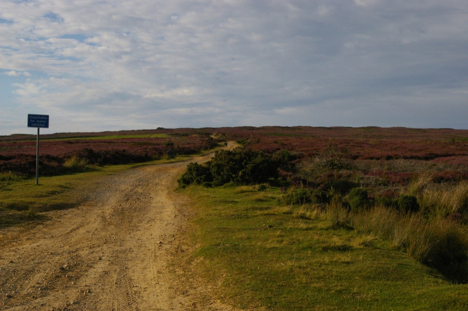
North York Moors National Park, EN
Old drove road ridge, hidden dale hamlet and a long moor return
Overview
This is a circular route of 11.8 miles (19.1 km), and that figure is the complete loop back to the start, not a there-and-back section. Allow around 5 hours of walking time, with roughly 544 metres of climbing spread across the day. It is graded hard: there is no scrambling or technical ground, but the distance, the repeated climbs and the long exposed stretches make it a serious full-day outing for most visitors.
Map & elevation
Plan your hike

The highest, rockiest slopes around here are a summer buffet for grizzly bears.
North York Moors Tour Guide
Parkwolf is a GPS audio tour guide for North York Moors National Park. As you drive, it chimes in with what’s ahead: hidden gems, upcoming stops, history, geology, and wildlife, right through your car’s speakers.
Recorded for this area
The Forked Tail Overhead“If you see a big bird circling over the moors, check the tail first. A red kite's is long and deeply forked, and it twists as the bird steers with hardly a wingbeat. Look for angled wings with pale patches underneath.”
Plays on the road 0.3 km from the trailhead in the Parkwolf North York Moors Tour Guide.
More stories near here in the app
“Fantastic app with many points of information… It’s great to just turn on while you’re driving and it gives you an audio tour of the national Park. We love it!!!!”


Trail guide
From the southern end of the unmade Rudland Rigg track, the walk climbs steadily along the old Rudland Rigg / Waingate drove road to the Golden Heights trig-point and its historic waypost, with heather moor either side and broad views toward Bransdale and Farndale. The route then drops over open moor and enclosure fields past Cow Syke into Cockayne, a small secluded hamlet at the head of Bransdale, where St Nicholas Church and its benches make a natural halfway pause.
From there the climb out toward Bilsdale East Moor is the more demanding half. The route follows the Helmsley to Cockayne road, descends to the old buildings at Stork House and Low Lidmoor, crosses Hodge Beck by a footbridge and then Shaw Beck, climbs to Moor House Farm, crosses the moor to Ousegill Bridge and returns along Bransdale Road to the start.
Expect a genuine mix: gravelly unmade track on the rigg, moorland paths, field edges, farm tracks, one footbridge, and sections of quiet but narrow road where you should walk defensively and be ready to step aside for vehicles. The ridge and moor sections have little shelter, so wind and rain are felt fully. Carry all the water and food you need, and wear boots that cope with rough, sometimes wet ground.
Visibility on the open moor can disappear quickly in low cloud, and route-finding away from the main track is consequential. Take a map and compass or a reliable GPS track and know how to use them, and be honest about turning back if the cloud comes down early in the day. Clear conditions are what make the ridge and valley views worth the effort, and late-summer heather is a reliable seasonal highlight.
The start is the southern end of the unmade Rudland Rigg track off Bransdale Road, grid reference SE659926, with a mapped roadside parking area about 22 metres away. This is informal, limited roadside space rather than a visitor-centre car park, so arrive early, park considerately and do not block gates or narrow the road for farm and local traffic. There are no toilets, food, water or other facilities at the start or on the route.
Dogs may use public rights of way, but they are not allowed on most moorland open-access land here and must stay on rights of way across it. Keep dogs on a short lead of under 2 metres on moorland, near livestock and wherever signs ask for it, and always between 1 March and 31 July. This loop crosses both farmland and open moor, so plan for lead-on walking for much of the day.
If the ridge views are the main draw and the full day is too much, a shorter out-and-back from Ousegill Bridge along the rigg gives you the same open moorland scenery without the valley descents and climbs. That is a different, easier walk, not this loop.
Wildlife
 15 sightingsEurasian OtterMost seen around 7 PMSighting map
 10 sightingsRed DeerMost seen around 7 AMSighting map
 79 sightingsGrey SealMost seen around noonSighting map
 26 sightingsWestern Barn OwlMost seen around 7 PMSighting map
 33 sightingsEuropean BadgerMost seen around 7 PMSighting map
 10 sightingsMute SwanMost seen around noonSighting map
Sighting maps show where each species has been reported across North York Moors. Wildlife moves, so no sighting is guaranteed.
Keep exploring
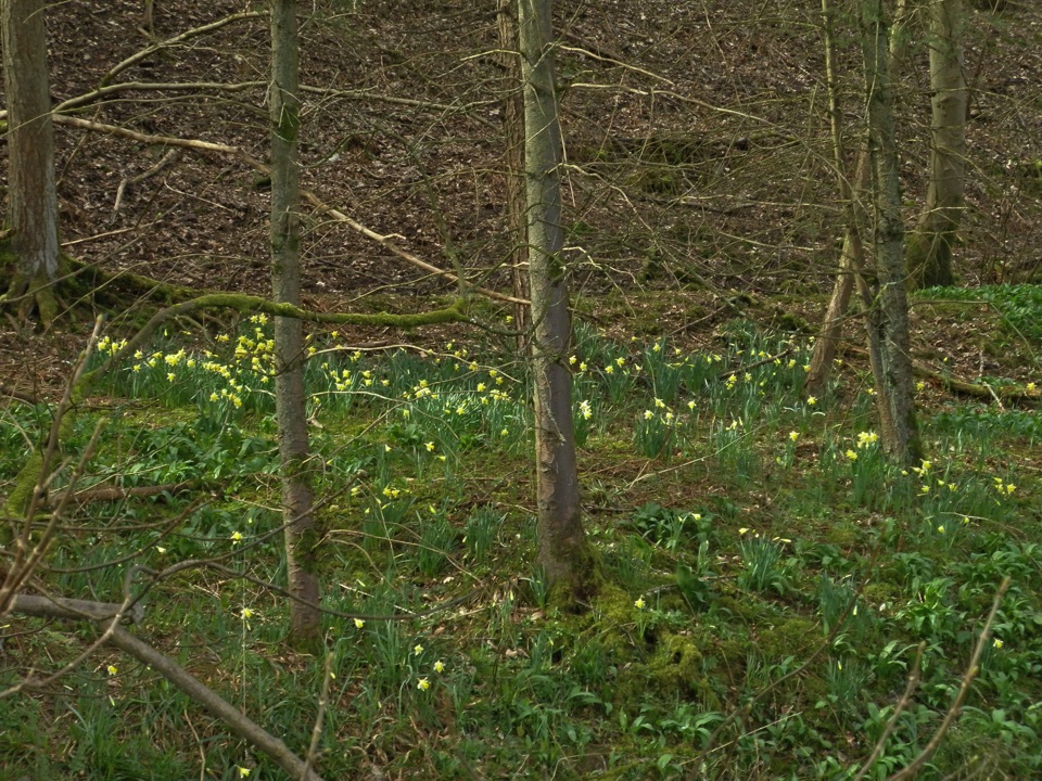 EasyFarndale Daffodil Walk5.6 km · 2 hr · 2.9 km awayWild daffodils line the River Dove on an easy 3.5-mile dale loopEasyMiles without Stiles (For some) - Farndale Daffodil Walk6 km · 1.6 hr · 2.9 km awaySurfaced riverside walk to Church Houses through wild daffodil meadows
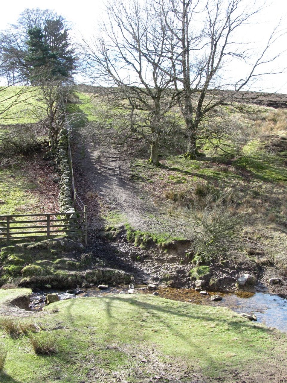 ModerateLastingham and Rosedale Circular12 km · 3.5 hr · 5.2 km awayMoorland loop from Hutton-le-Hole with an ancient crypt and wide views
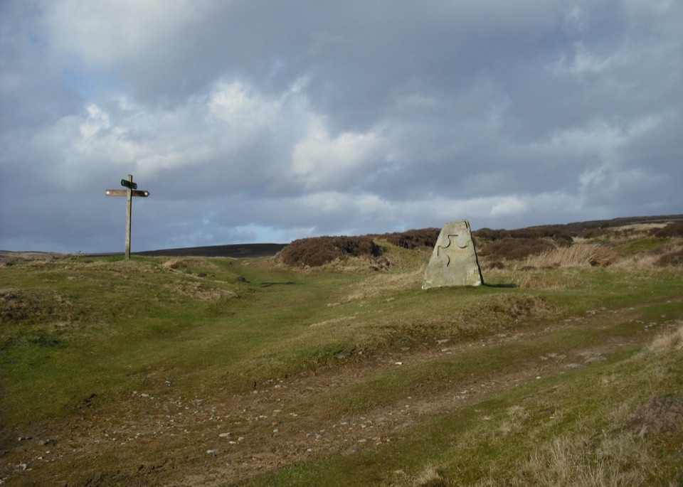 ModerateHutton-le-Hole and Lastingham Circular Walk6.4 km · 2.5 hr · 5.2 km awayField paths and moor edge link two villages under Spaunton's escarpment
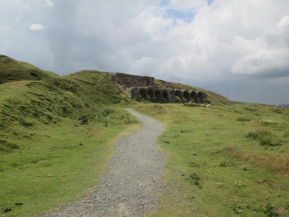 EasyMiles without Stiles (For many) - Rosedale Mineral Railway2 km · 1 hr · 6.4 km awayLevel cinder railway past ironstone kilns to a bench above Rosedale
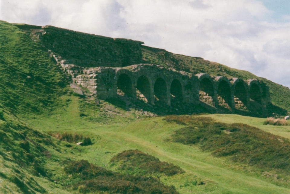 ModerateMiles without Stiles (For some) - Rosedale Railway and Kilns14.6 km · 3.9 hr · 6.7 km awayNine level miles of old railway to Rosedale's 16-arch ironstone kilns
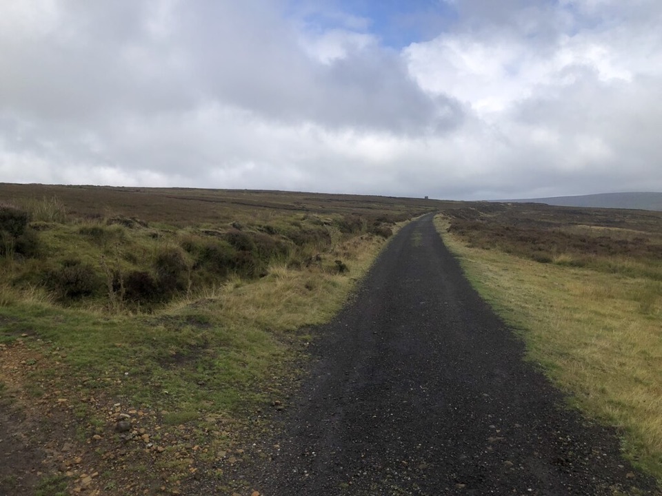 ModerateRosedale Abbey and Blakey Ridge Circular Walk10 km · 3.8 hr · 7.2 km awayRiverside fields climb to an old ironstone railway high above RosedaleModerateRosedale Walk12.1 km · 5 hr · 7.2 km awayPriory ruins, dale farms and an old ironstone railway: 12 km loop
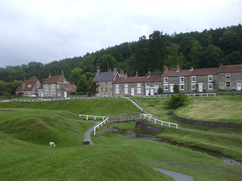 Sight · 5.3 km awayHutton-le-HoleHutton-le-Hole: clear moorland beck threading a broad, sheep-cropped green
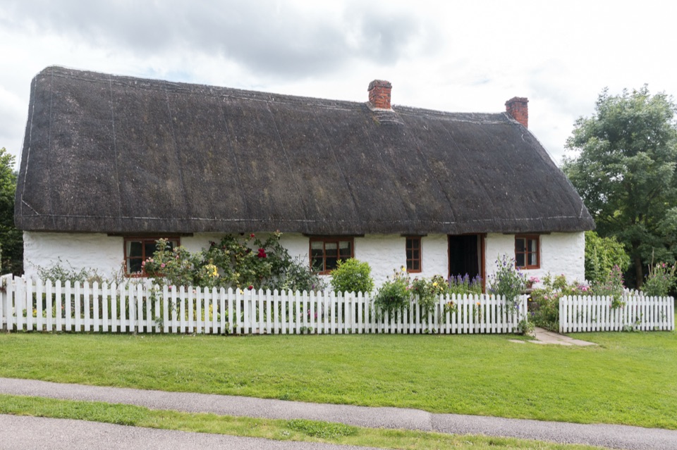 Sight · 5.3 km awayRyedale Folk MuseumRebuilt dales cottages and workshops you can walk right into
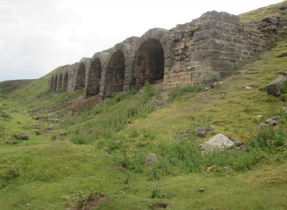 Sight · 6.5 km awayBank Top KilnsVictorian ironstone roasting arches standing open on the Rosedale moor
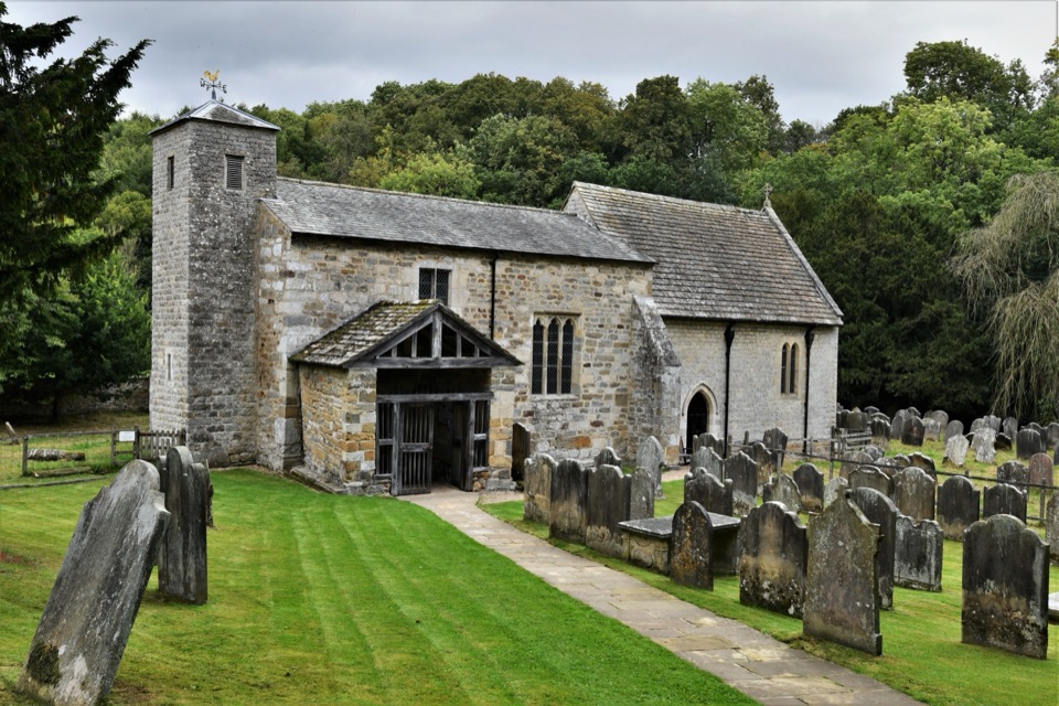 Sight · 7.1 km awaySt Gregory's Minster, KirkdaleAnglo-Saxon sundial and inscription above a quiet valley church door
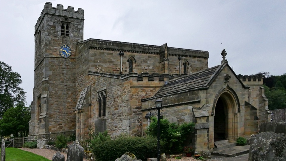 Sight · 7.2 km awaySt Mary's Church, LastinghamA rare double-aisled Norman crypt beneath a moor-edge village church
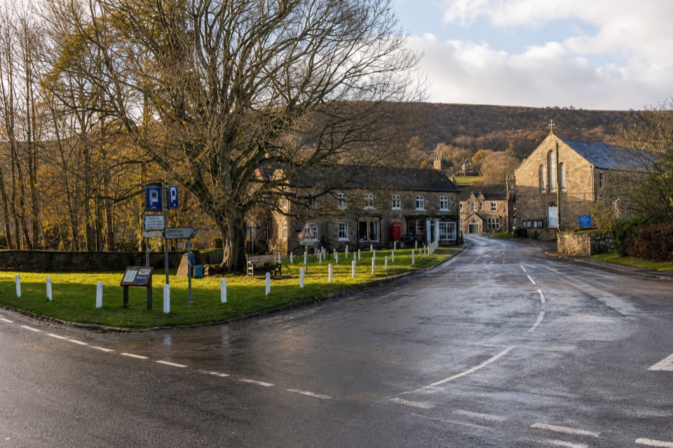 Sight · 7.2 km awayRosedale AbbeyGreen-centred dale village with ironstone kilns and moorland walks
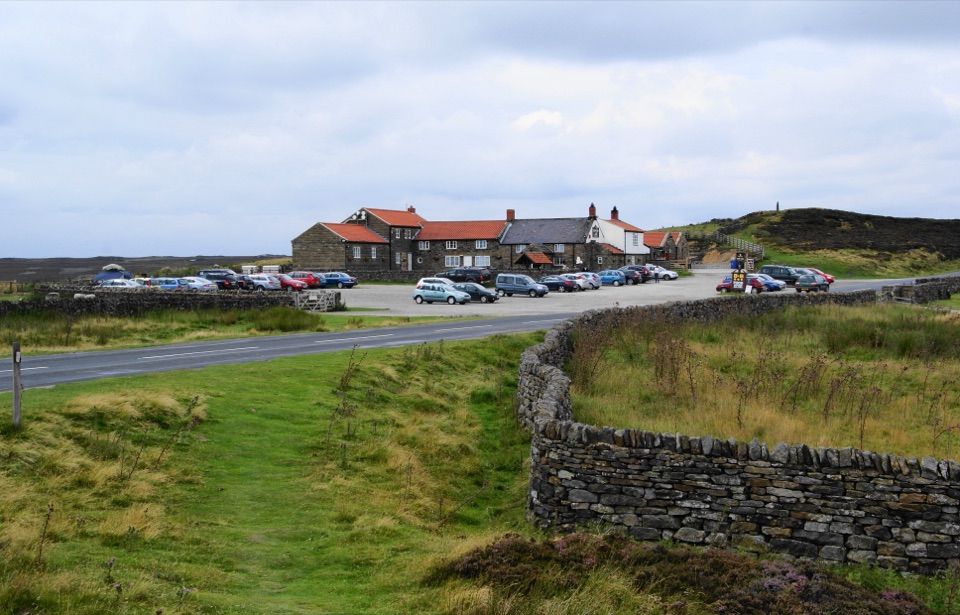 Restaurant · 7.3 km awayThe Lion Inn, Blakey RidgeOpen fires and vast moorland views at a 16th-century ridge-top freehouse
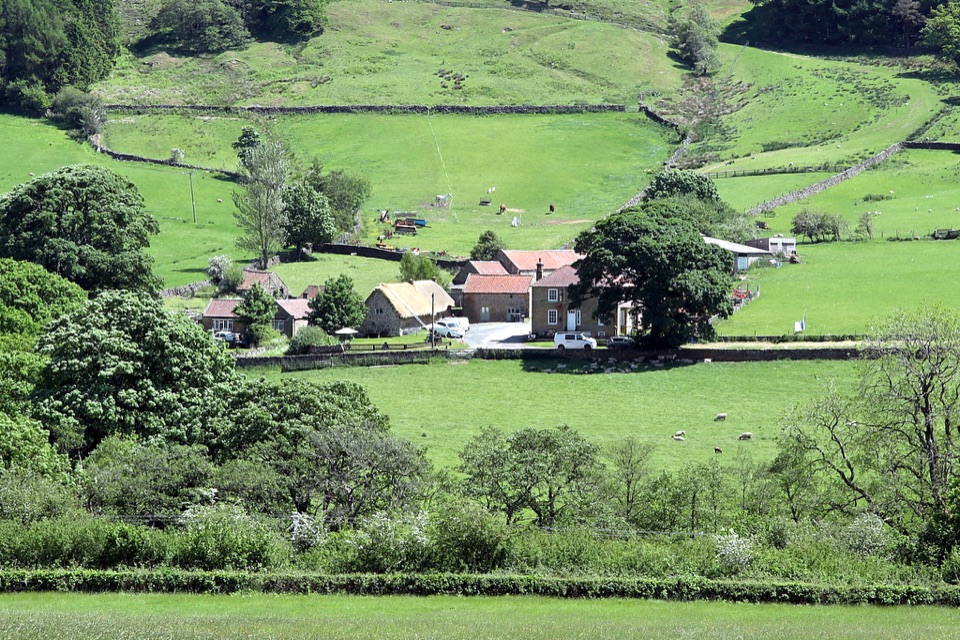 Sight · 8.5 km awaySpout House, BilsdaleThatched cruck-framed longhouse that served ale for two centuries
Parkwolf’s North York Moors ranking

The audio tour guide for the drive, plus offline maps, trails, and wildlife heatmaps for when the signal drops.





