Parking
Start beside The New Inn in Cropton. Parking is on and around the village's broad Main Street rather than at a dedicated remote trail car park. Park considerately and keep access clear.
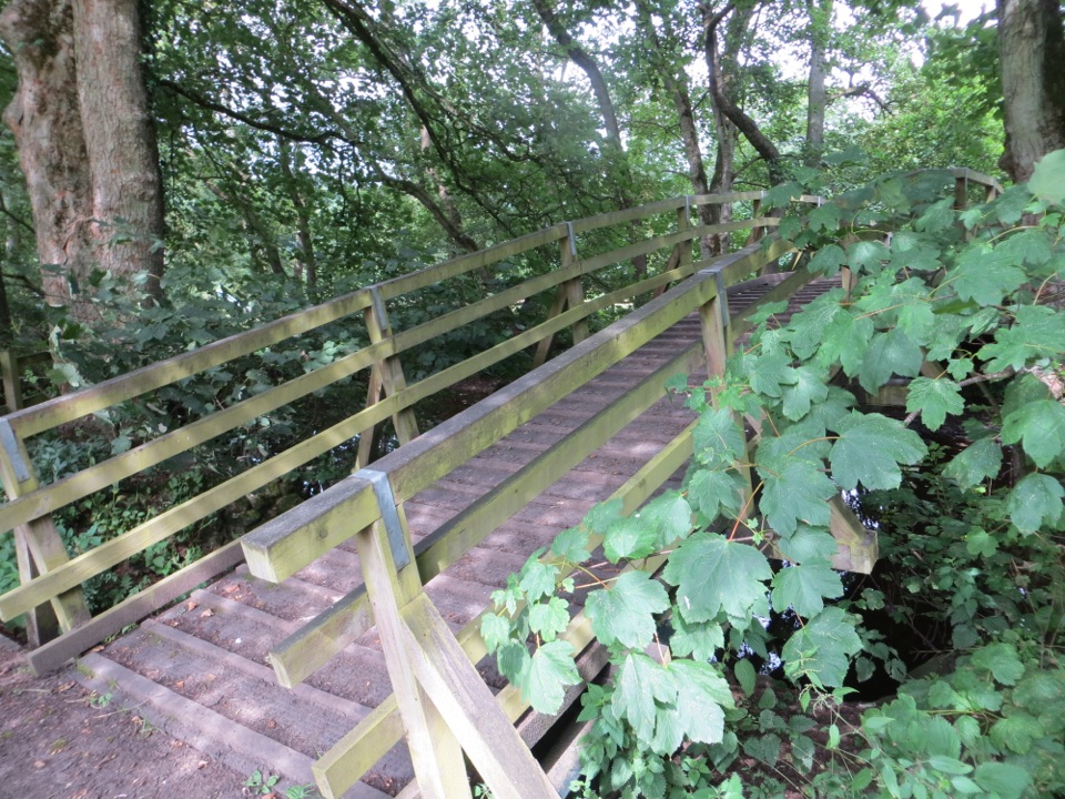
North York Moors National Park, EN
Field paths, winding river and woodland circuit from Cropton village
Overview
Map & elevation
Plan your hike

The highest, rockiest slopes around here are a summer buffet for grizzly bears.
North York Moors Tour Guide
Parkwolf is a GPS audio tour guide for North York Moors National Park. As you drive, it chimes in with what’s ahead: hidden gems, upcoming stops, history, geology, and wildlife, right through your car’s speakers.
Recorded for this trailhead
Cropton Village and River Seven Walk“You're coming up on Cropton, where The New Inn is both a village pub and the starting point for a four point four mile loop to the River Seven.”
Plays as you drive up to this trailhead in the Parkwolf North York Moors Tour Guide.
More stories near here in the app
“Fantastic app with many points of information… It’s great to just turn on while you’re driving and it gives you an audio tour of the national Park. We love it!!!!”


Trail guide
A circular walk of 4.4 miles (about 7.1 km) total for the full loop, starting and finishing in Cropton beside The New Inn. Most people take around 2.5 hours, and anywhere in the 2 to 3 hour range is normal depending on how often you stop by the river.
Moderate. There is about 971 ft (296 m) of ascent spread over the loop, and most of it feels gentle or fairly flat. The exception is one notably steeper climb towards the end, on the pull back up from the river side of the walk, so save some energy for it.
Underfoot you get a real mix: tarmac lanes, open field paths, woodland tracks and riverside sections. Some stretches hold water and can be genuinely muddy, so wear boots you do not mind getting dirty. Check the forecast before you set out, and allow extra time if there has been recent wet weather, since the low ground and woodland paths slow you down.
Signage is average rather than effortless. The village start and the river corridor are easy enough to follow, but the field crossings and the turns onto and off the higher ground reward paying attention. Carry a map or have the route on your phone and you will be fine.
Dogs are welcome on the route. There is livestock in the fields, so keep dogs under close control and on a lead around farm animals and wildlife, and lead them through the short caravan park section as well.
The walk starts in the village next to The New Inn. Parking is on and around Cropton's broad main street rather than at a dedicated trail car park, so park considerately among the stone houses and leave access clear for residents.
Cropton Forest nearby has shorter waymarked woodland walks, which suit a quick leg stretch or a wet day when you want firmer forest tracks. What they do not give you is this walk's village to river circuit and the mix of lane, field, wood and riverside in one loop.
Wildlife
 15 sightingsEurasian OtterMost seen around 7 PMSighting map
 10 sightingsRed DeerMost seen around 7 AMSighting map
 79 sightingsGrey SealMost seen around noonSighting map
 26 sightingsWestern Barn OwlMost seen around 7 PMSighting map
 33 sightingsEuropean BadgerMost seen around 7 PMSighting map
 10 sightingsMute SwanMost seen around noonSighting map
Sighting maps show where each species has been reported across North York Moors. Wildlife moves, so no sighting is guaranteed.
Keep exploring
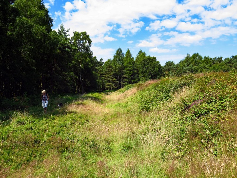 EasyCawthorn Roman Camps Circular1.6 km · 45 min · 2.8 km awayA mile of Roman earthworks, easy paths and a wide moorland viewpoint
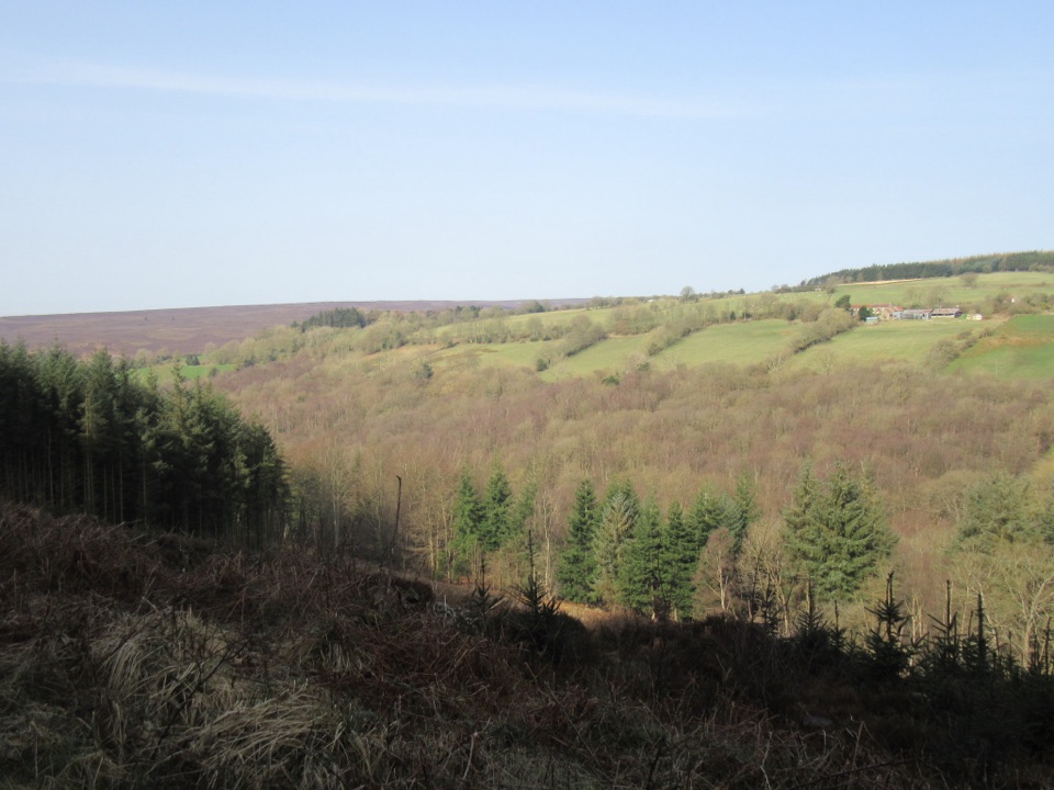 EasyCropton Forest Ramble4.5 km · 1.3 hr · 2.8 km awayPine plantation and woodland heath on a red-waymarked forest loop
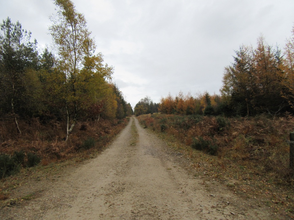 EasyLittle Beck Walk1.6 km · 45 min · 2.8 km awayGreen waymarkers lead a gentle mile through conifers to Little Beck.
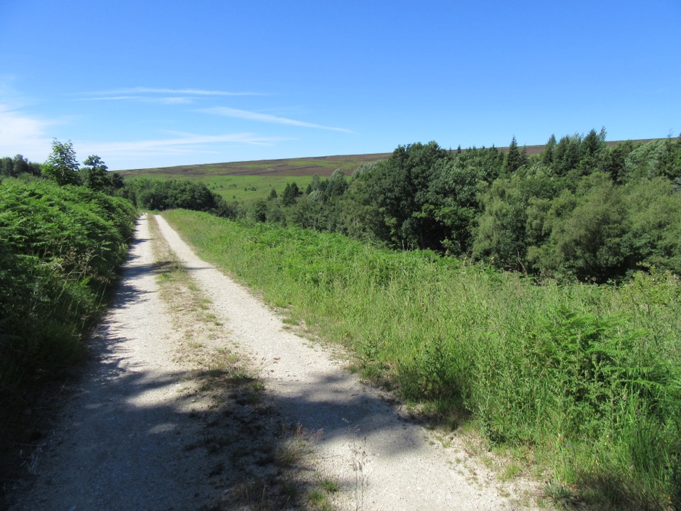 EasySpiers Bank Walk4.8 km · 1.5 hr · 2.8 km awayGravel forest roads climb to open heather and Rosedale valley views
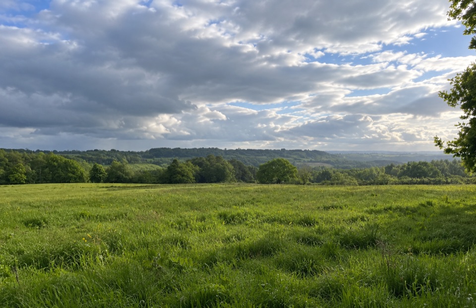 EasyParadise Walk at Cropton Forest2.4 km · 54 min · 3.4 km awaySteady climb to Vale of Pickering views, then an easy return
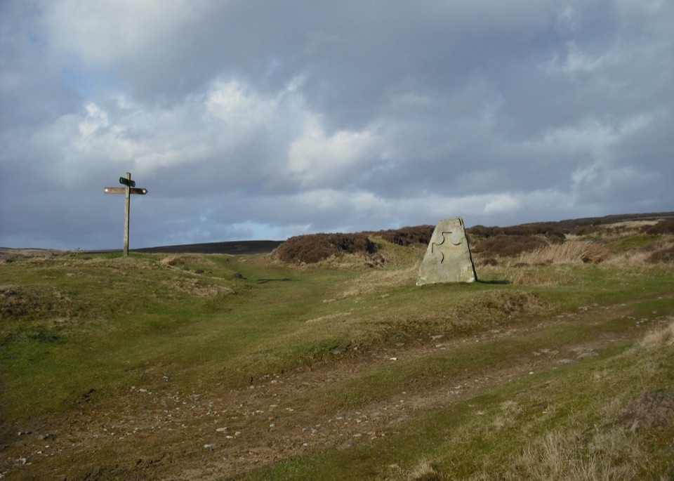 ModerateHutton-le-Hole and Lastingham Circular Walk6.4 km · 2.5 hr · 5.1 km awayField paths and moor edge link two villages under Spaunton's escarpment
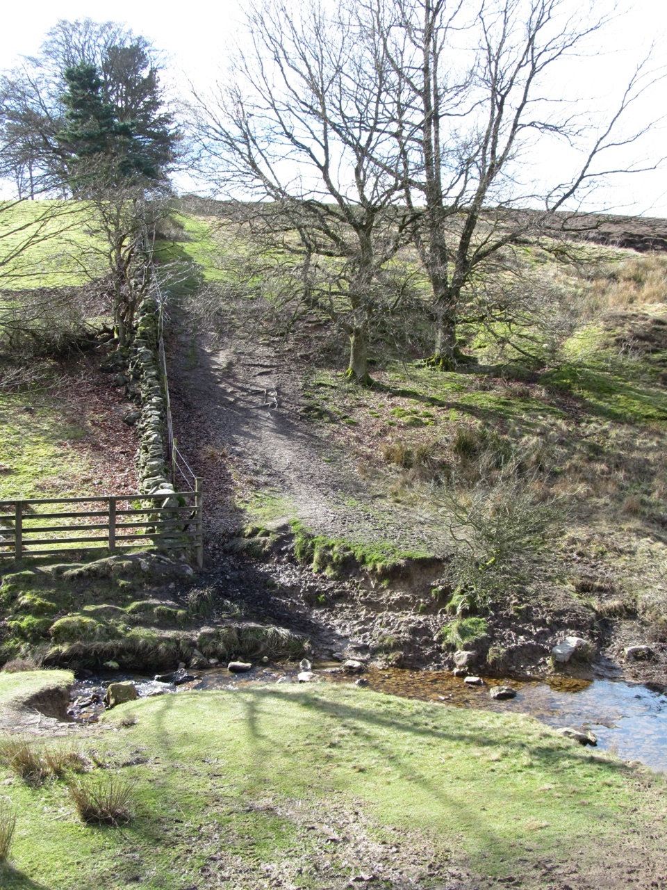 ModerateLastingham and Rosedale Circular12 km · 3.5 hr · 5.2 km awayMoorland loop from Hutton-le-Hole with an ancient crypt and wide views
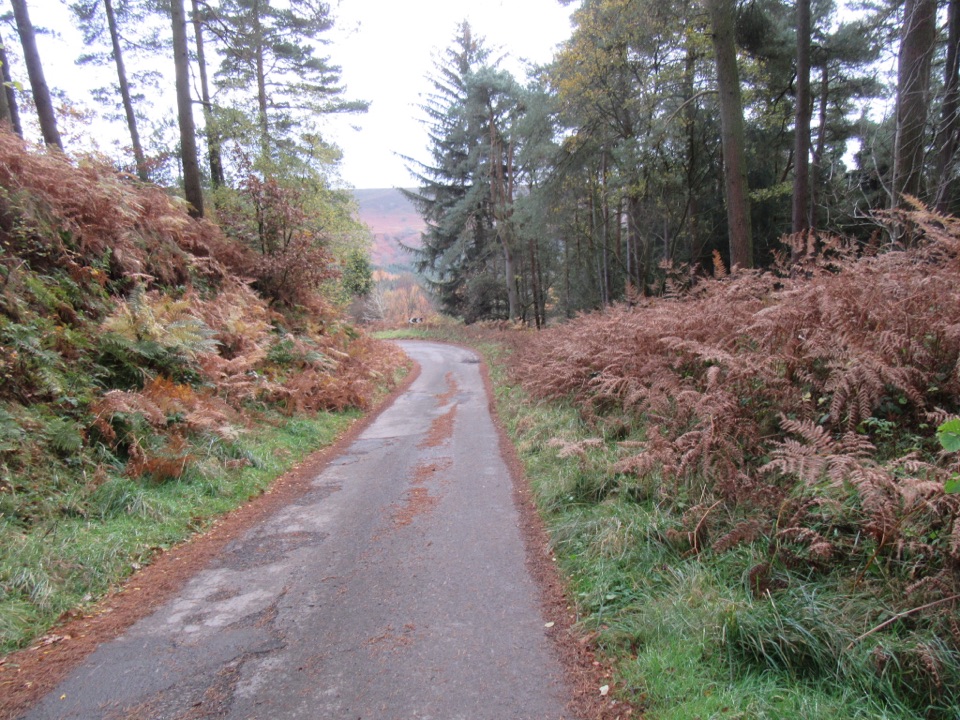 ModerateNewtondale9.7 km · 3 hr · 6.6 km awaySix miles of forest tracks and dale views above a steam railway
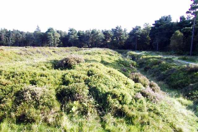 Sight · 2.8 km awayCawthorn Roman CampsMile-long walk around four Roman earthworks with wide moorland views.
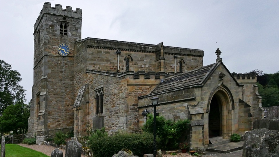 Sight · 3.1 km awaySt Mary's Church, LastinghamA rare double-aisled Norman crypt beneath a moor-edge village church
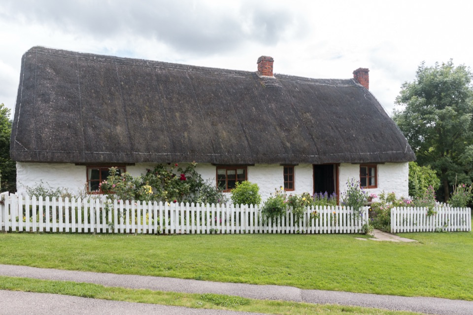 Sight · 5 km awayRyedale Folk MuseumRebuilt dales cottages and workshops you can walk right into
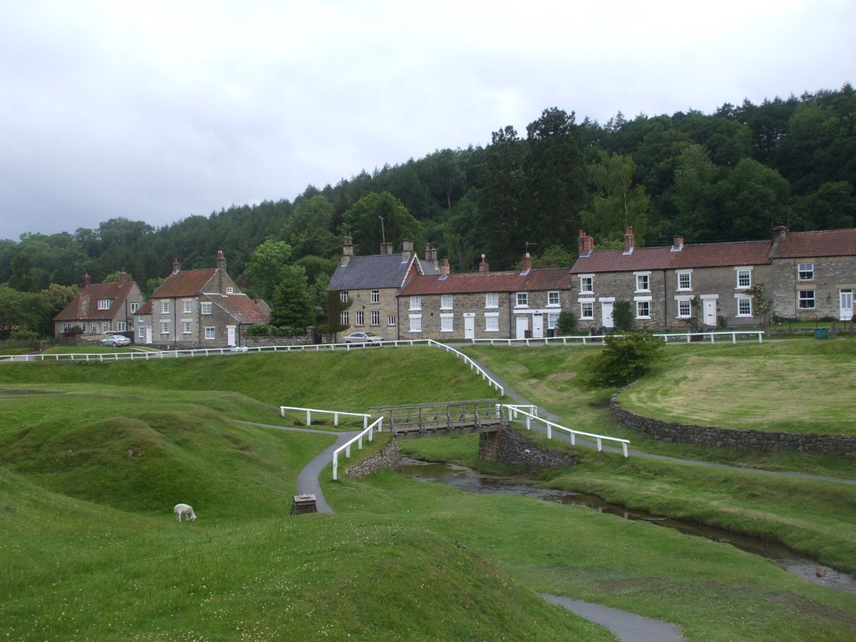 Sight · 5.1 km awayHutton-le-HoleHutton-le-Hole: clear moorland beck threading a broad, sheep-cropped green
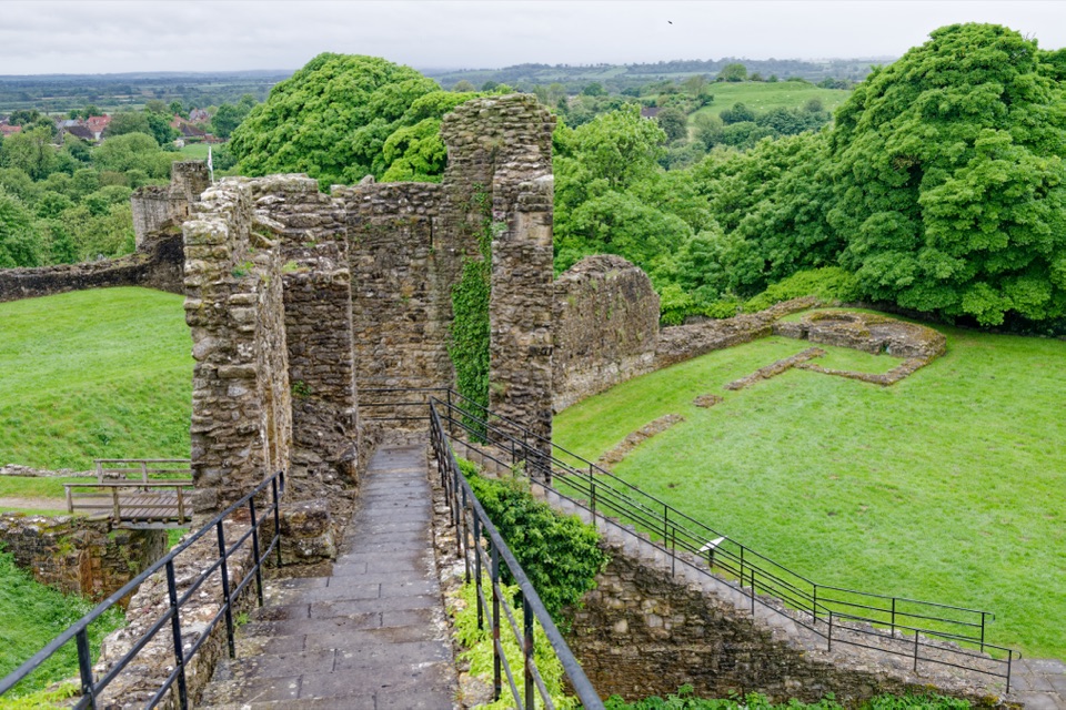 Sight · 6.2 km awayPickering CastleClimb a Norman motte to shell keep ruins and valley views
 Sight · 6.3 km awayNorth Yorkshire Moors RailwayHeritage trains cross 24 miles of moorland from Pickering to Whitby
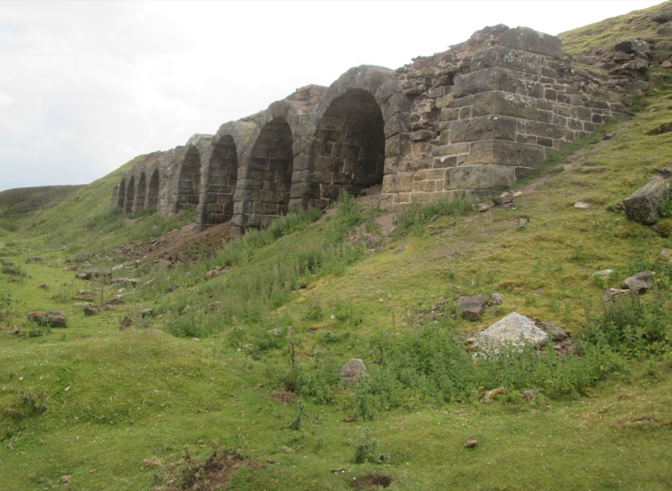 Sight · 6.9 km awayBank Top KilnsVictorian ironstone roasting arches standing open on the Rosedale moor
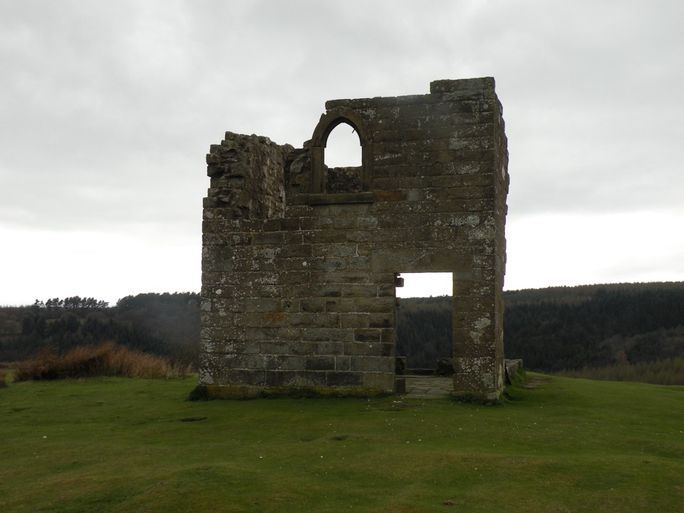 Sight · 7.6 km awaySkelton TowerRuined 1830s shooting lodge perched high above Newtondale's steam railway
Parkwolf’s North York Moors ranking

The audio tour guide for the drive, plus offline maps, trails, and wildlife heatmaps for when the signal drops.





