Parking
Start at Forest Holidays Cropton beside the Forest Retreat in Cropton Forest. Cropton Forest parking is free; follow the yellow waymarkers from the visitor access.
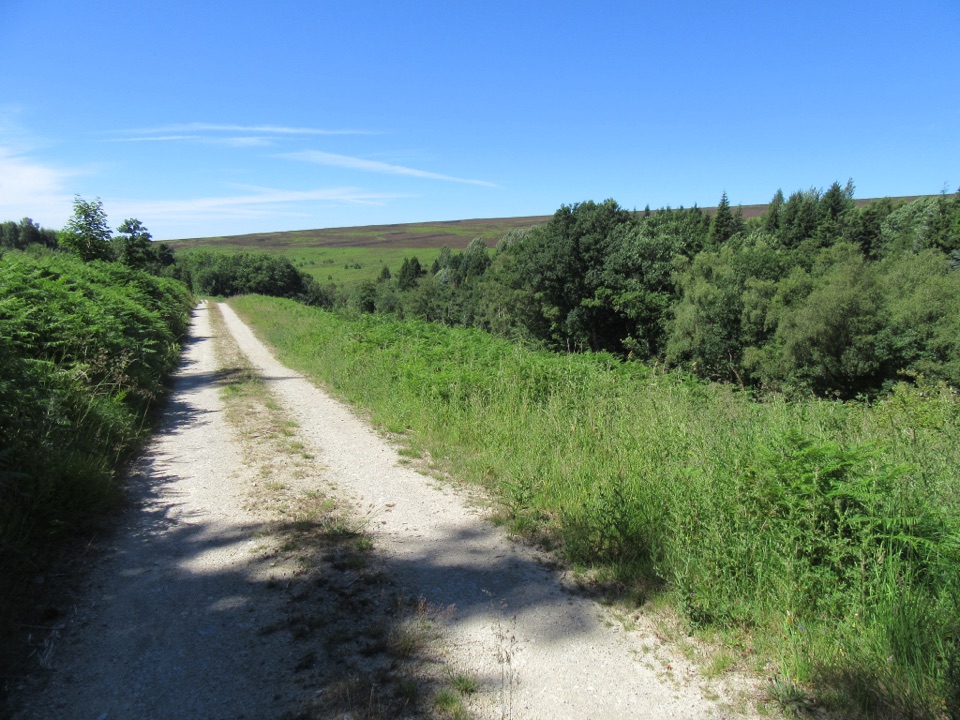
North York Moors National Park, EN
Gravel forest roads climb to open heather and Rosedale valley views
Overview
The high point of the walk gives views across Rosedale valley and towards Spaunton Moor, with the contrast between dense plantation and open heather edges. The changing woodland along the way is worth slowing down for, and Cropton Forest rewards anyone who stops and listens. This is a pleasant, well graded forest walk rather than a dramatic summit outing, and it is better for it if you want a relaxed couple of hours.
 Parkwolf’s verdictThe payoff
Map & elevation
Plan your hike

The highest, rockiest slopes around here are a summer buffet for grizzly bears.
North York Moors Tour Guide
Parkwolf is a GPS audio tour guide for North York Moors National Park. As you drive, it chimes in with what’s ahead: hidden gems, upcoming stops, history, geology, and wildlife, right through your car’s speakers.
Recorded for this area
Heather for the Steelworks“Near Stape, heather once had a job far from the moor. At the Leaf Howe smallholding, one family made besoms, or brooms, from it to help earn their living.”
Plays on the road 1.8 km from the trailhead in the Parkwolf North York Moors Tour Guide.
More stories near here in the app
“Fantastic app with many points of information… It’s great to just turn on while you’re driving and it gives you an audio tour of the national Park. We love it!!!!”


Trail guide
This is a complete loop of 4.8 km (3 miles) on forest roads through Cropton Forest, starting and finishing at the Forest Holidays Cropton visitor access beside the Forest Retreat. Follow the yellow waymarkers throughout. A short connecting path links the visitor access to the mapped forest-road loop, so you return to exactly where you began without retracing more than that final stretch.
From the start you head out along broad gravel forest roads beneath conifer plantation, with the trees opening up in places to give glimpses of the wider landscape. The waymarked line brings you up to Spiers Bank, where the woodland gives way to open ground and heather at the edge of the moor. The return leg picks up a parallel forest road and drops steadily back down to the start.
Surfaces are gravel and hard-packed forestry road for the whole way. That makes for straightforward walking in most conditions, though the footing can be loose or uneven in patches and forest roads carry ruts and stones where machinery has passed.
The profile rolls rather than spikes. There is a gentle undulating start, then a shorter steeper pull as you gain the higher ground towards Spiers Bank, followed by a broad level section along the top. The descent back is steadier and more forgiving than the climb. The total height gain is modest, but the steeper stretch is enough to notice if you are walking with young children or carrying a heavy pack.
Cropton is a working forest, so parts of the route feel functional rather than scenic, with plantation blocks, forest road junctions and signs of timber management. The gravel underfoot is practical but firm and repetitive over three miles, and the steeper section arrives without much warning. Sturdy footwear and a little patience with the plantation stretches will make the open ground at Spiers Bank feel like a proper reward.
Wildlife
 15 sightingsEurasian OtterMost seen around 7 PMSighting map
 10 sightingsRed DeerMost seen around 7 AMSighting map
 79 sightingsGrey SealMost seen around noonSighting map
 26 sightingsWestern Barn OwlMost seen around 7 PMSighting map
 33 sightingsEuropean BadgerMost seen around 7 PMSighting map
 10 sightingsMute SwanMost seen around noonSighting map
Sighting maps show where each species has been reported across North York Moors. Wildlife moves, so no sighting is guaranteed.
Keep exploring
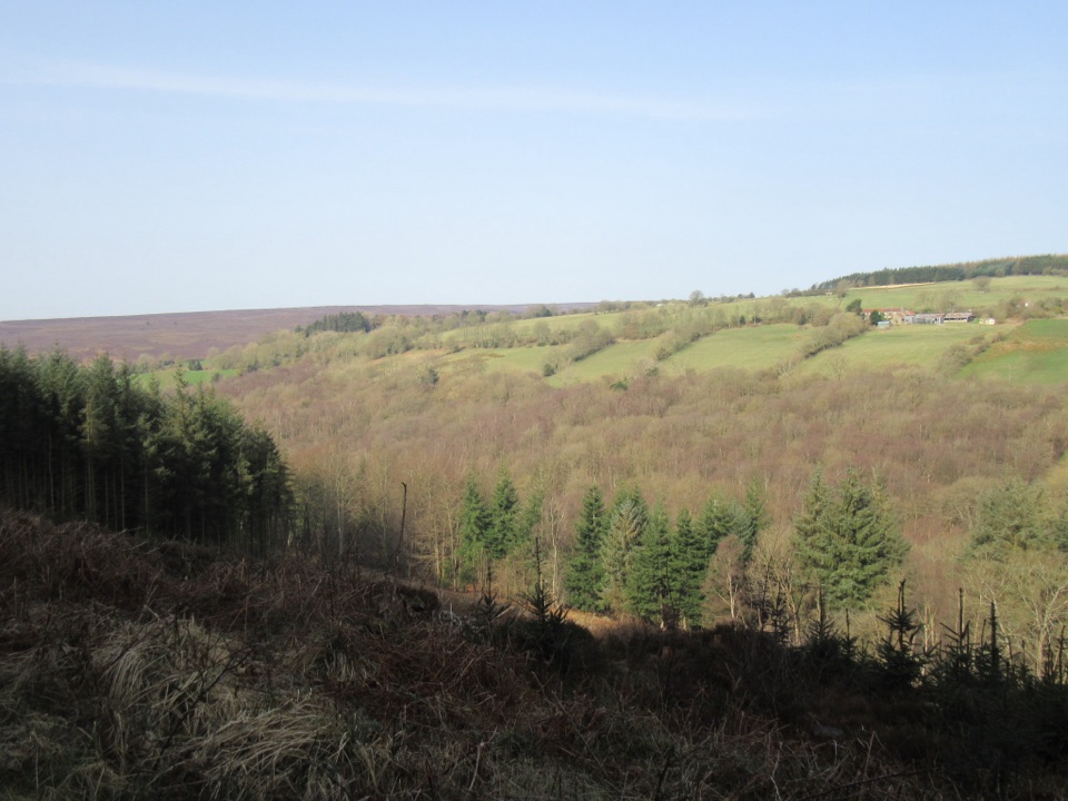 EasyCropton Forest Ramble4.5 km · 1.3 hr · At the trailheadPine plantation and woodland heath on a red-waymarked forest loop
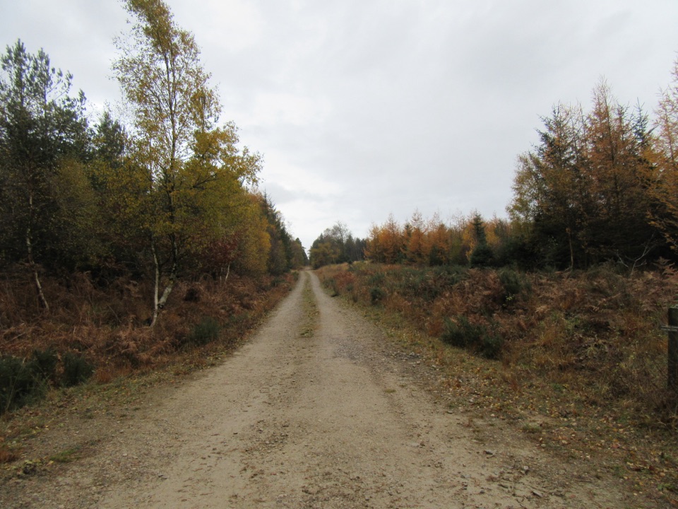 EasyLittle Beck Walk1.6 km · 45 min · At the trailheadGreen waymarkers lead a gentle mile through conifers to Little Beck.
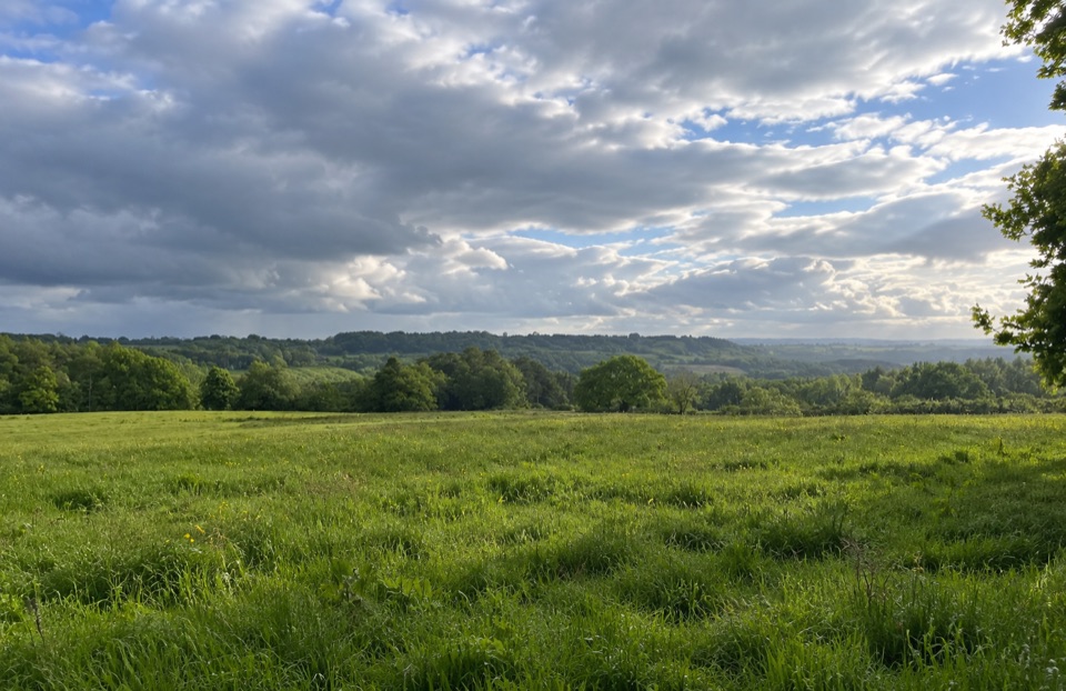 EasyParadise Walk at Cropton Forest2.4 km · 54 min · 2 km awaySteady climb to Vale of Pickering views, then an easy return
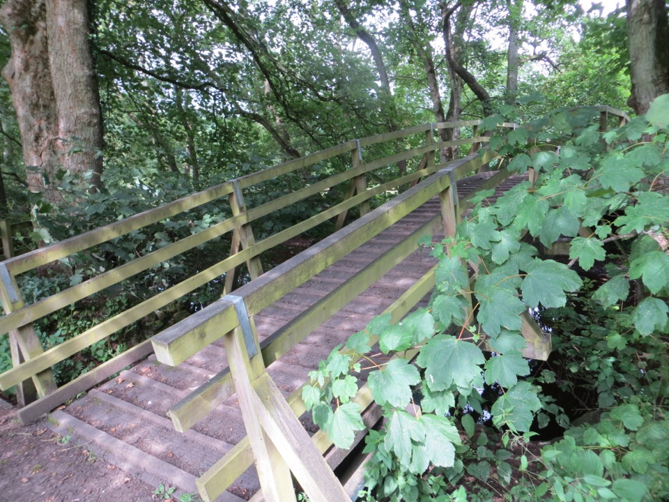 ModerateCropton Round Walk7.1 km · 2.5 hr · 2.8 km awayField paths, winding river and woodland circuit from Cropton village
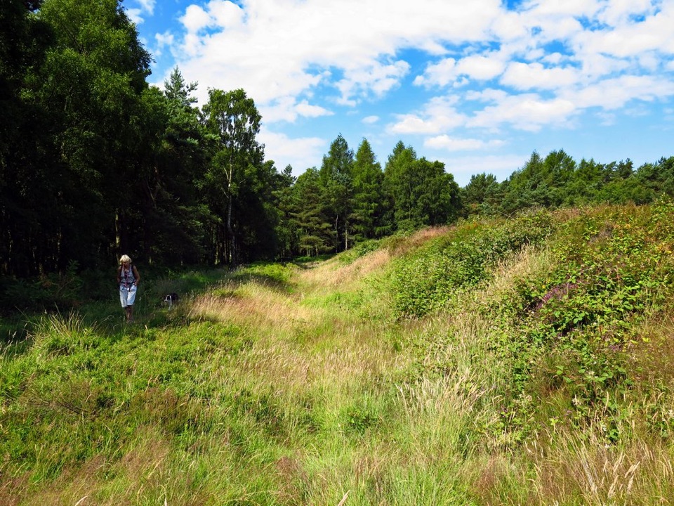 EasyCawthorn Roman Camps Circular1.6 km · 45 min · 3.4 km awayA mile of Roman earthworks, easy paths and a wide moorland viewpoint
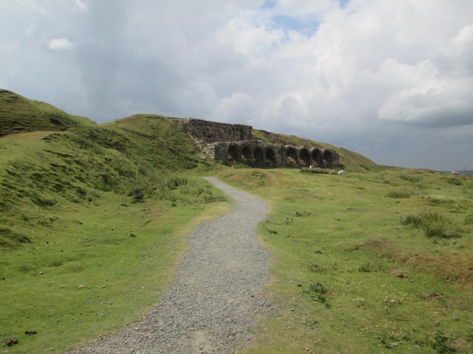 EasyMiles without Stiles (For many) - Rosedale Mineral Railway2 km · 1 hr · 5.1 km awayLevel cinder railway past ironstone kilns to a bench above Rosedale
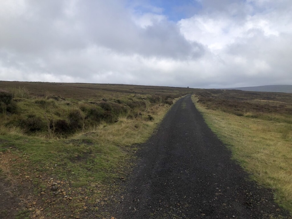 ModerateRosedale Abbey and Blakey Ridge Circular Walk10 km · 3.8 hr · 5.3 km awayRiverside fields climb to an old ironstone railway high above RosedaleModerateRosedale Walk12.1 km · 5 hr · 5.3 km awayPriory ruins, dale farms and an old ironstone railway: 12 km loop
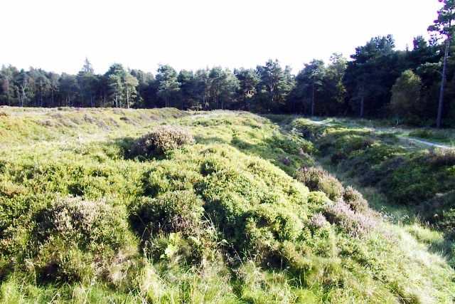 Sight · 3.1 km awayCawthorn Roman CampsMile-long walk around four Roman earthworks with wide moorland views.
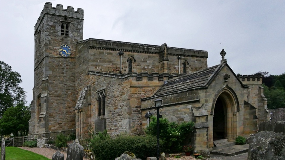 Sight · 3.1 km awaySt Mary's Church, LastinghamA rare double-aisled Norman crypt beneath a moor-edge village church
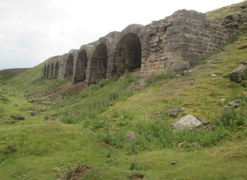 Sight · 4.7 km awayBank Top KilnsVictorian ironstone roasting arches standing open on the Rosedale moor
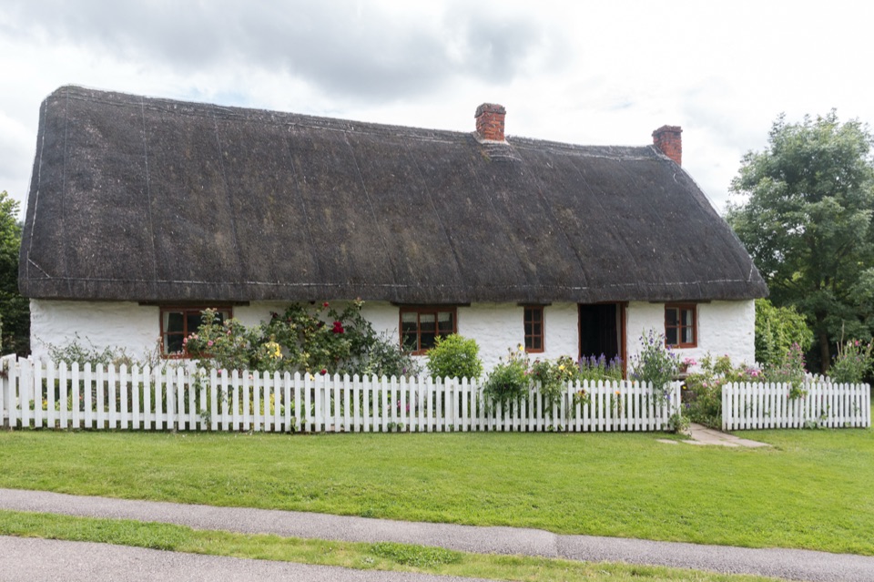 Sight · 5.3 km awayRyedale Folk MuseumRebuilt dales cottages and workshops you can walk right into
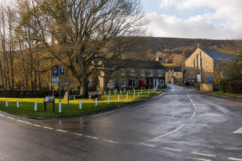 Sight · 5.3 km awayRosedale AbbeyGreen-centred dale village with ironstone kilns and moorland walks
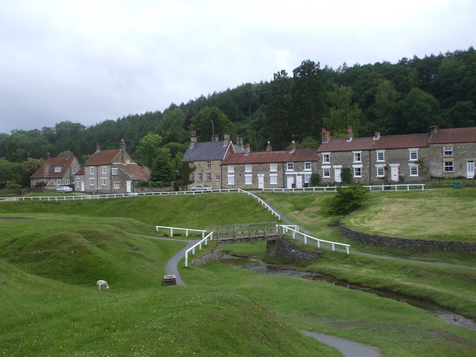 Sight · 5.5 km awayHutton-le-HoleHutton-le-Hole: clear moorland beck threading a broad, sheep-cropped green
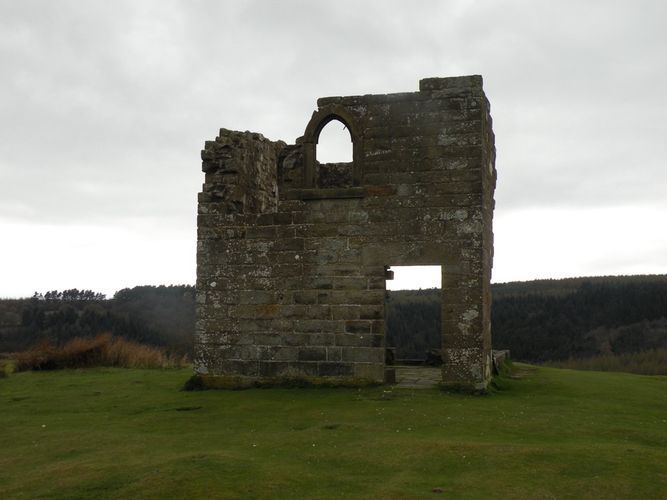 Sight · 6.4 km awaySkelton TowerRuined 1830s shooting lodge perched high above Newtondale's steam railway
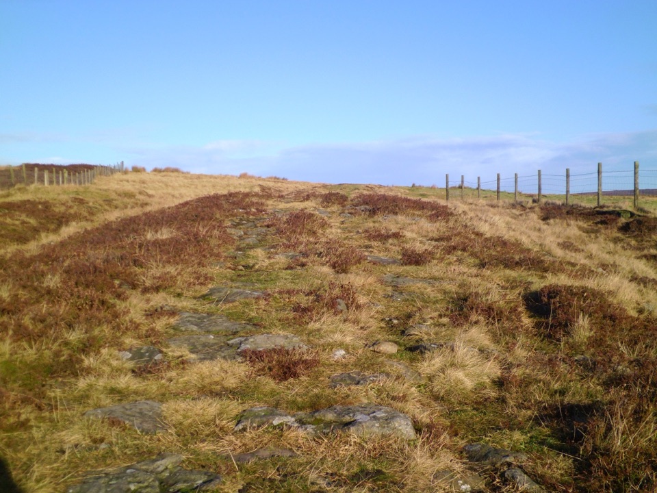 Sight · 7.8 km awayWheeldale Roman RoadAncient stone causeway over heather moor, its builders still debated
Parkwolf’s North York Moors ranking
The audio tour guide for the drive, plus offline maps, trails, and wildlife heatmaps for when the signal drops.





