Parking
Start at Forest Holidays Cropton, YO18 8ES, using the cabin site's access. Follow the green waymarkers from the Cropton site; confirm parking/access arrangements with the site if you are not staying there.
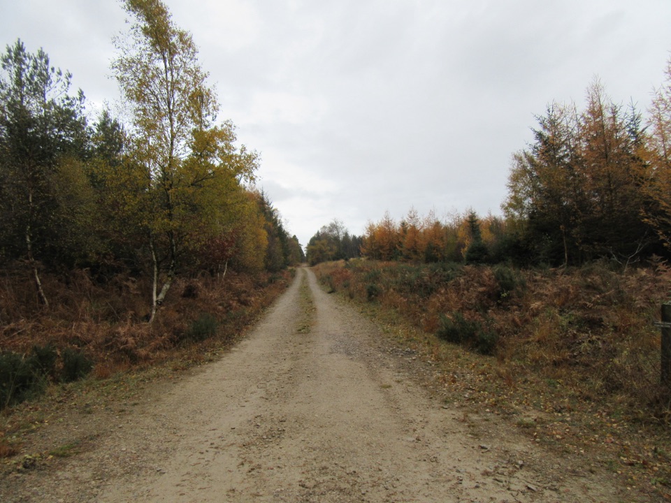
North York Moors National Park, EN
Green waymarkers lead a gentle mile through conifers to Little Beck.
Overview
Map & elevation
Plan your hike

The highest, rockiest slopes around here are a summer buffet for grizzly bears.
North York Moors Tour Guide
Parkwolf is a GPS audio tour guide for North York Moors National Park. As you drive, it chimes in with what’s ahead: hidden gems, upcoming stops, history, geology, and wildlife, right through your car’s speakers.
Recorded for this area
Heather for the Steelworks“Near Stape, heather once had a job far from the moor. At the Leaf Howe smallholding, one family made besoms, or brooms, from it to help earn their living.”
Plays on the road 1.8 km from the trailhead in the Parkwolf North York Moors Tour Guide.
More stories near here in the app
“Fantastic app with many points of information… It’s great to just turn on while you’re driving and it gives you an audio tour of the national Park. We love it!!!!”


Trail guide
This is a point-to-point, one-way walk of 1.7 km (1 mile) through the conifer woodland at Cropton, starting from the holiday cabin area and finishing near Little Beck. It is a short forest stroll on easy ground, good for a light family outing or a leg-stretch before or after a bigger day out on the moors.
From the cabins the route follows a mix of forest roads and surfaced paths, with some gravel and firmer earth underfoot in places. It threads between blocks of planted conifers, passes occasional open clearings, and ends beside Little Beck. Green waymarkers are the navigation cue, so pick them up at the start and keep following them; junctions with wider forest roads are the main places to check you are still on the marked line.
The access point is the cabin site at Cropton, postcode YO18 8ES, near 54.315873, -0.838333. Because the marked walk runs one way to Little Beck, plan your return before setting off: most visitors simply retrace the same route back to the start, which roughly doubles the distance and time. Treat the site itself as private and keep to the marked route and forest roads.
Dogs are welcome on this walk. Keep yours under control around other walkers, cyclists and anyone working in the forest, and be ready to bring them close in on the wider forest roads where vehicles may pass.
This is a modest local walk rather than a scenic highlight, with no big viewpoint to aim for and limited variety over such a short distance. Its appeal is quiet woodland walking that is easy to fit into an hour, and the woods can be pleasant in full leaf or in autumn colour. If you want a longer or more dramatic day, use this as a warm-up rather than the main event.
Wildlife
 15 sightingsEurasian OtterMost seen around 7 PMSighting map
 10 sightingsRed DeerMost seen around 7 AMSighting map
 79 sightingsGrey SealMost seen around noonSighting map
 26 sightingsWestern Barn OwlMost seen around 7 PMSighting map
 33 sightingsEuropean BadgerMost seen around 7 PMSighting map
 10 sightingsMute SwanMost seen around noonSighting map
Sighting maps show where each species has been reported across North York Moors. Wildlife moves, so no sighting is guaranteed.
Keep exploring
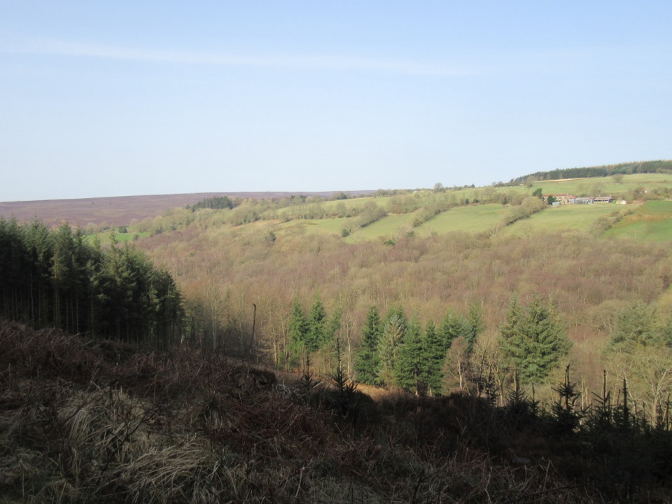 EasyCropton Forest Ramble4.5 km · 1.3 hr · At the trailheadPine plantation and woodland heath on a red-waymarked forest loop
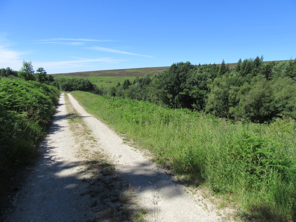 EasySpiers Bank Walk4.8 km · 1.5 hr · At the trailheadGravel forest roads climb to open heather and Rosedale valley views
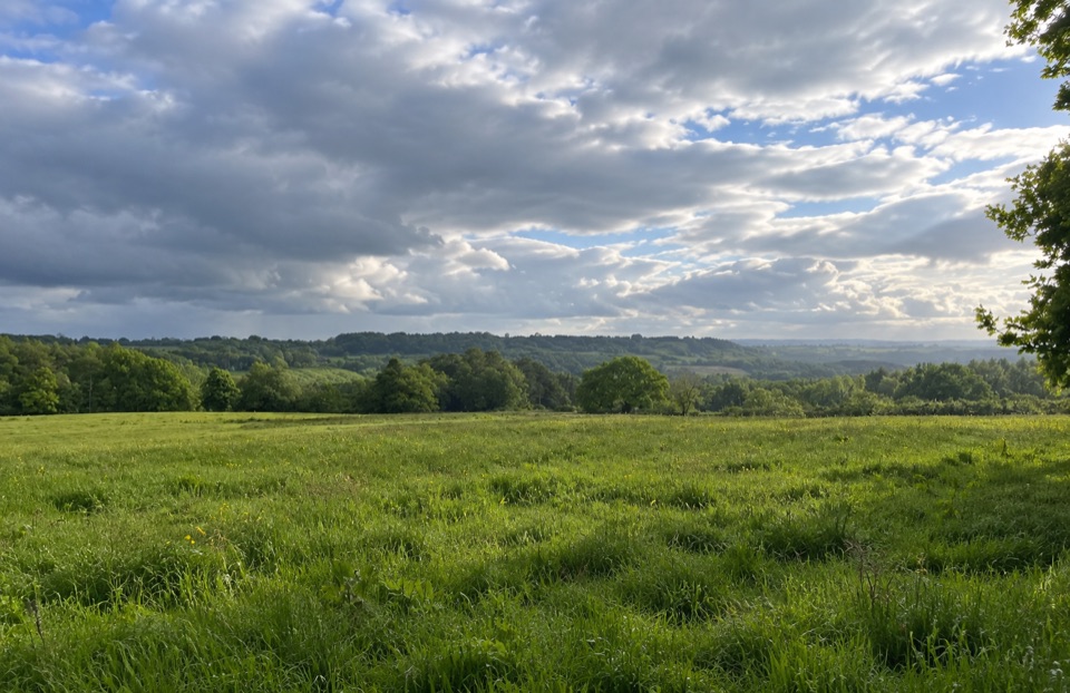 EasyParadise Walk at Cropton Forest2.4 km · 54 min · 2 km awaySteady climb to Vale of Pickering views, then an easy return
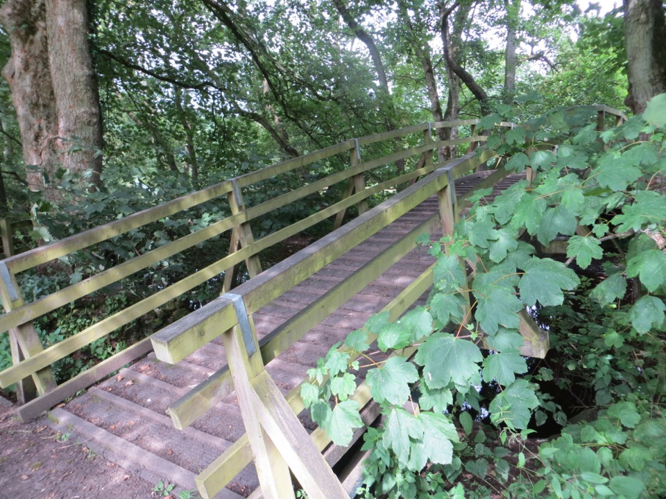 ModerateCropton Round Walk7.1 km · 2.5 hr · 2.8 km awayField paths, winding river and woodland circuit from Cropton village
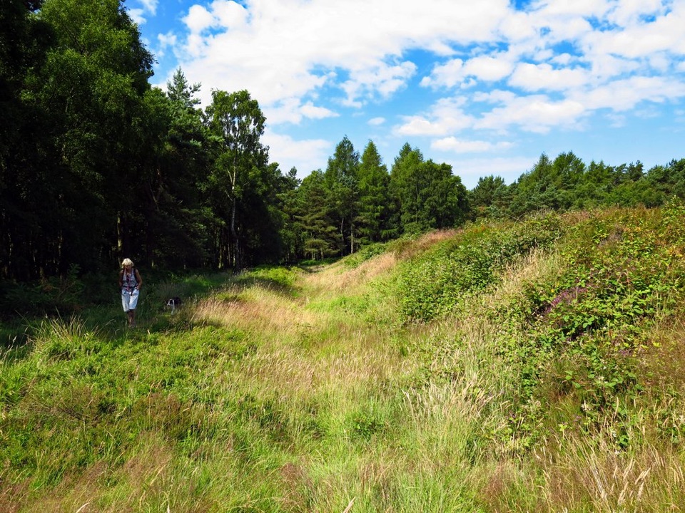 EasyCawthorn Roman Camps Circular1.6 km · 45 min · 3.4 km awayA mile of Roman earthworks, easy paths and a wide moorland viewpoint
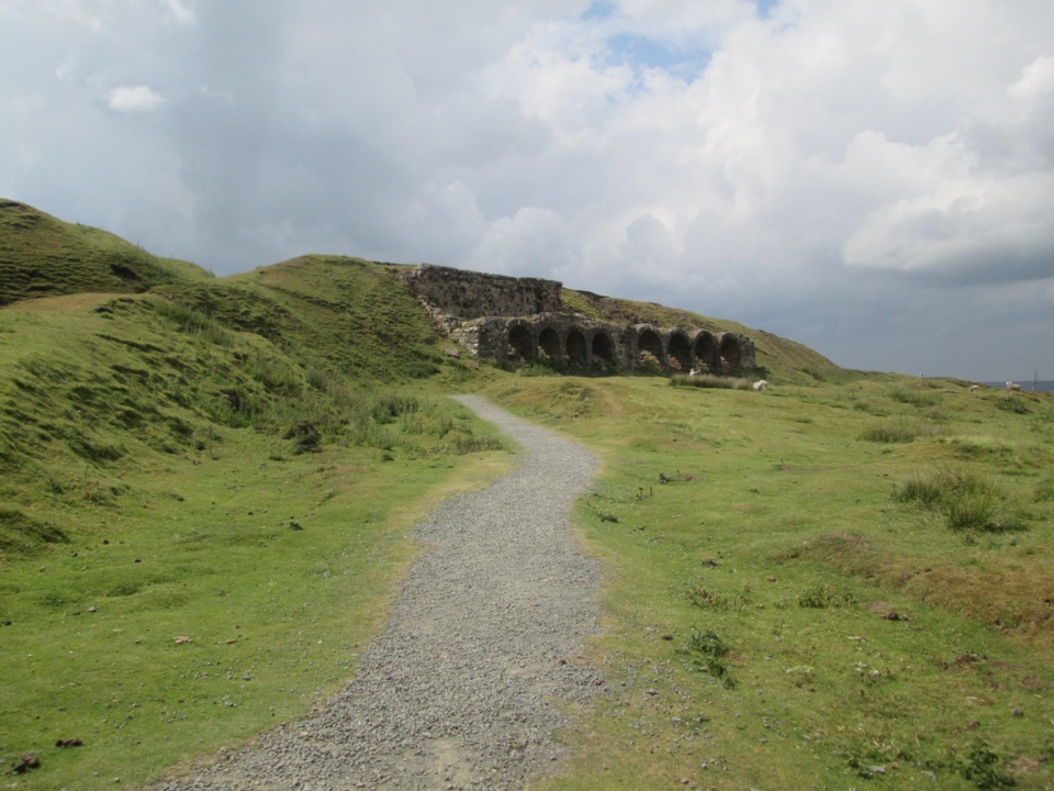 EasyMiles without Stiles (For many) - Rosedale Mineral Railway2 km · 1 hr · 5.1 km awayLevel cinder railway past ironstone kilns to a bench above Rosedale
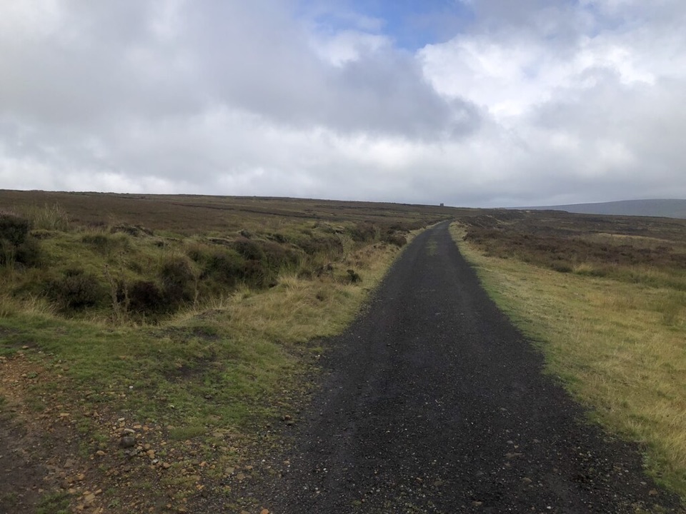 ModerateRosedale Abbey and Blakey Ridge Circular Walk10 km · 3.8 hr · 5.3 km awayRiverside fields climb to an old ironstone railway high above RosedaleModerateRosedale Walk12.1 km · 5 hr · 5.3 km awayPriory ruins, dale farms and an old ironstone railway: 12 km loop
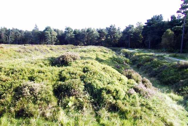 Sight · 3.1 km awayCawthorn Roman CampsMile-long walk around four Roman earthworks with wide moorland views.
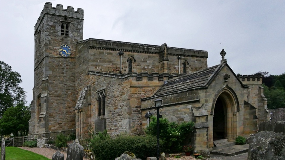 Sight · 3.1 km awaySt Mary's Church, LastinghamA rare double-aisled Norman crypt beneath a moor-edge village church
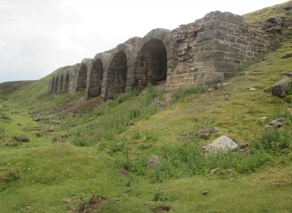 Sight · 4.7 km awayBank Top KilnsVictorian ironstone roasting arches standing open on the Rosedale moor
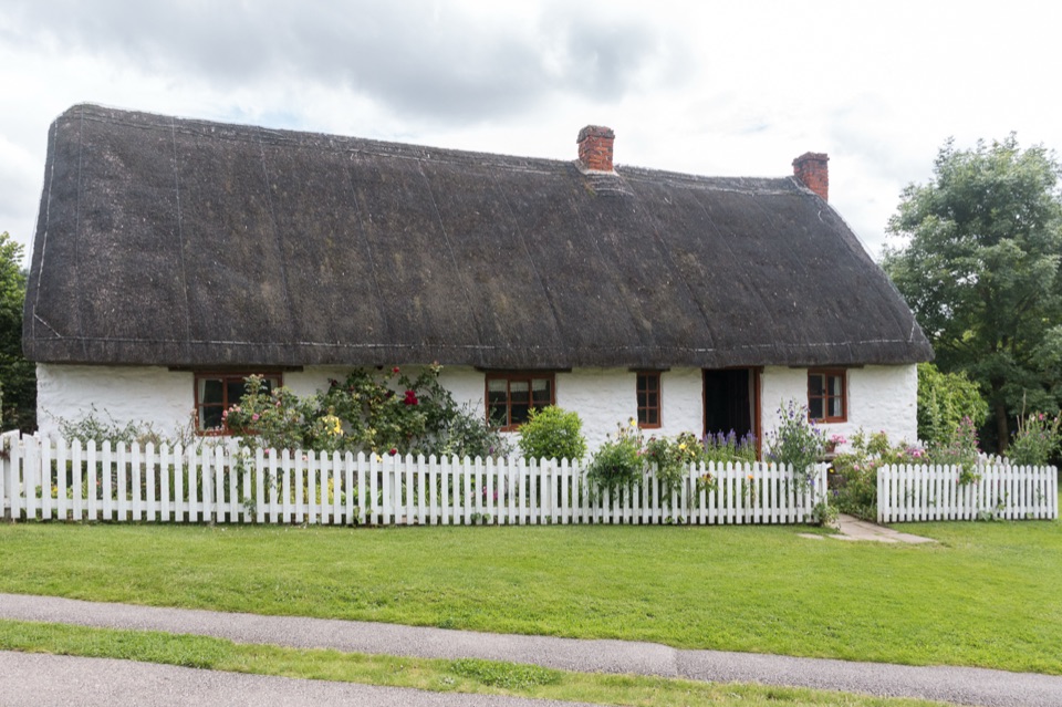 Sight · 5.3 km awayRyedale Folk MuseumRebuilt dales cottages and workshops you can walk right into
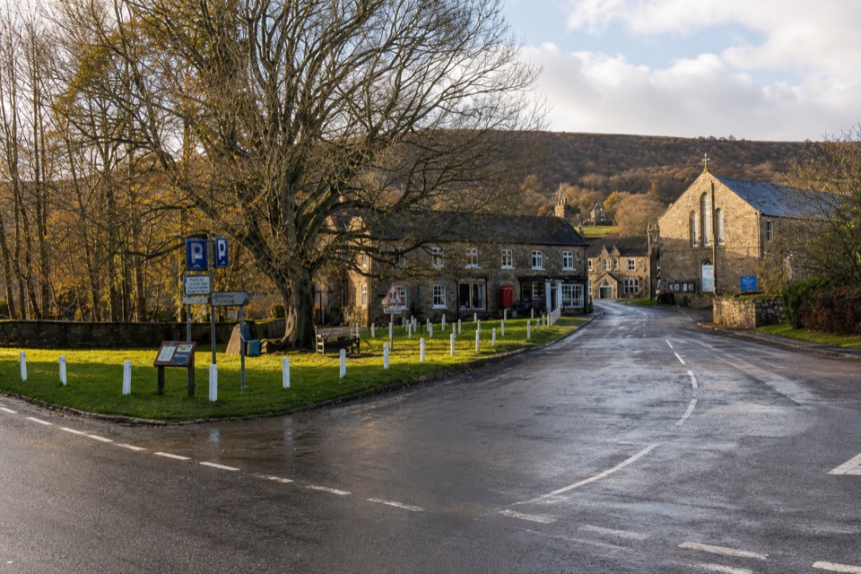 Sight · 5.3 km awayRosedale AbbeyGreen-centred dale village with ironstone kilns and moorland walks
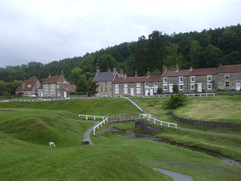 Sight · 5.5 km awayHutton-le-HoleHutton-le-Hole: clear moorland beck threading a broad, sheep-cropped green
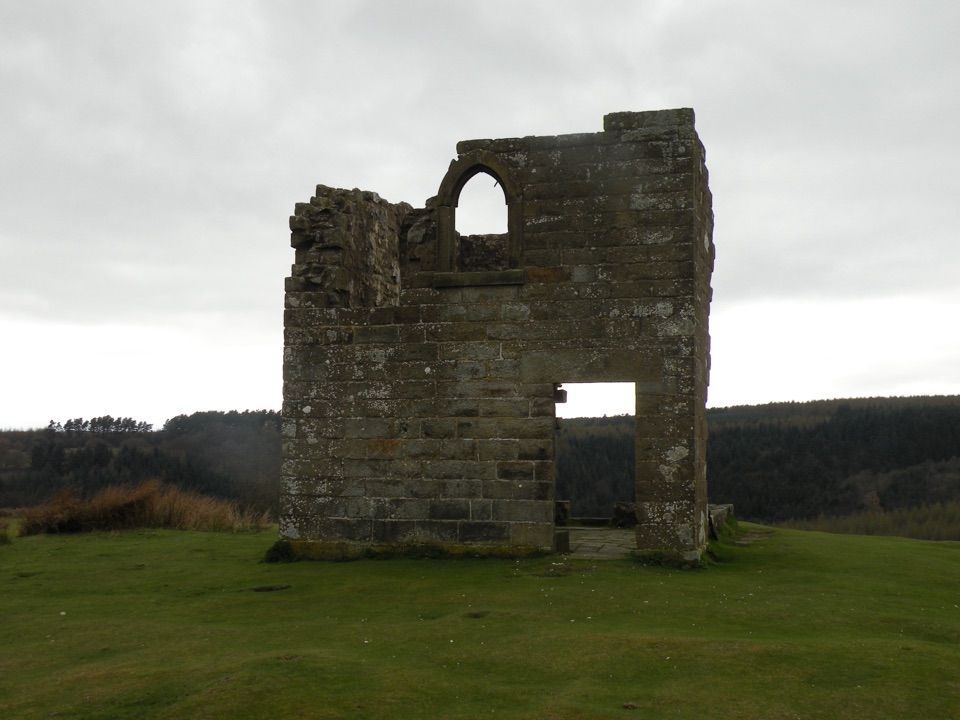 Sight · 6.4 km awaySkelton TowerRuined 1830s shooting lodge perched high above Newtondale's steam railway
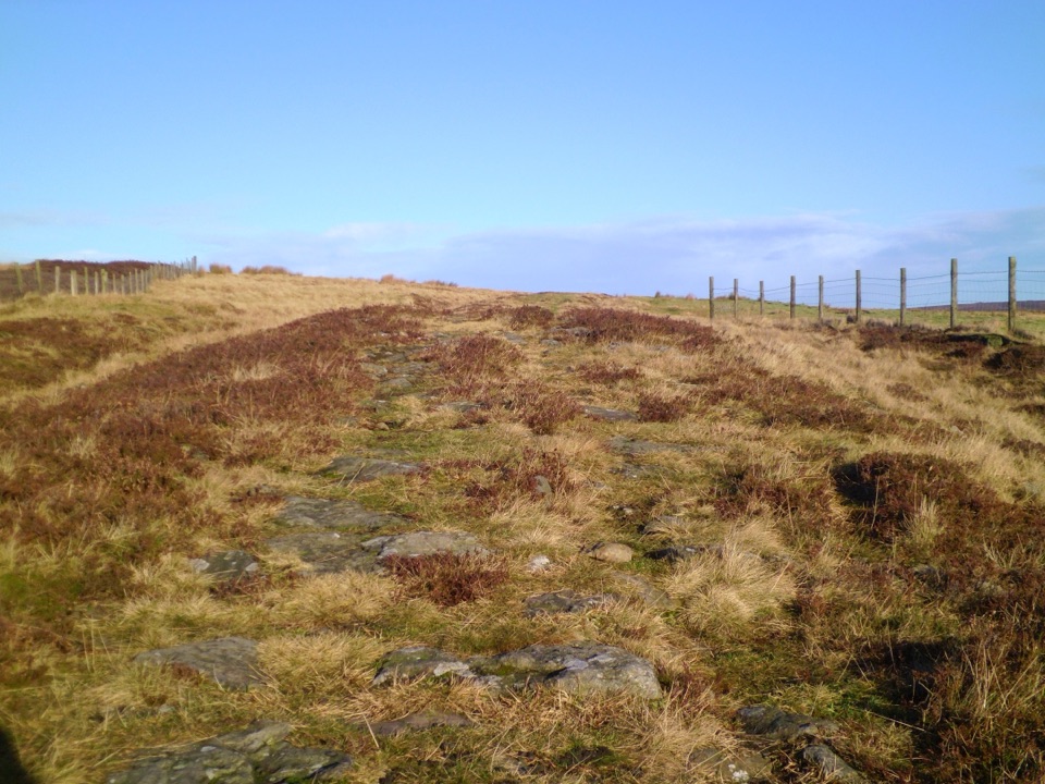 Sight · 7.8 km awayWheeldale Roman RoadAncient stone causeway over heather moor, its builders still debated
Parkwolf’s North York Moors ranking

The audio tour guide for the drive, plus offline maps, trails, and wildlife heatmaps for when the signal drops.





