Parking
Use the Forest Holidays Cropton access on Moor Lane, YO18 8ES. The trail starts from the Forest Holidays site; follow the red waymarkers.
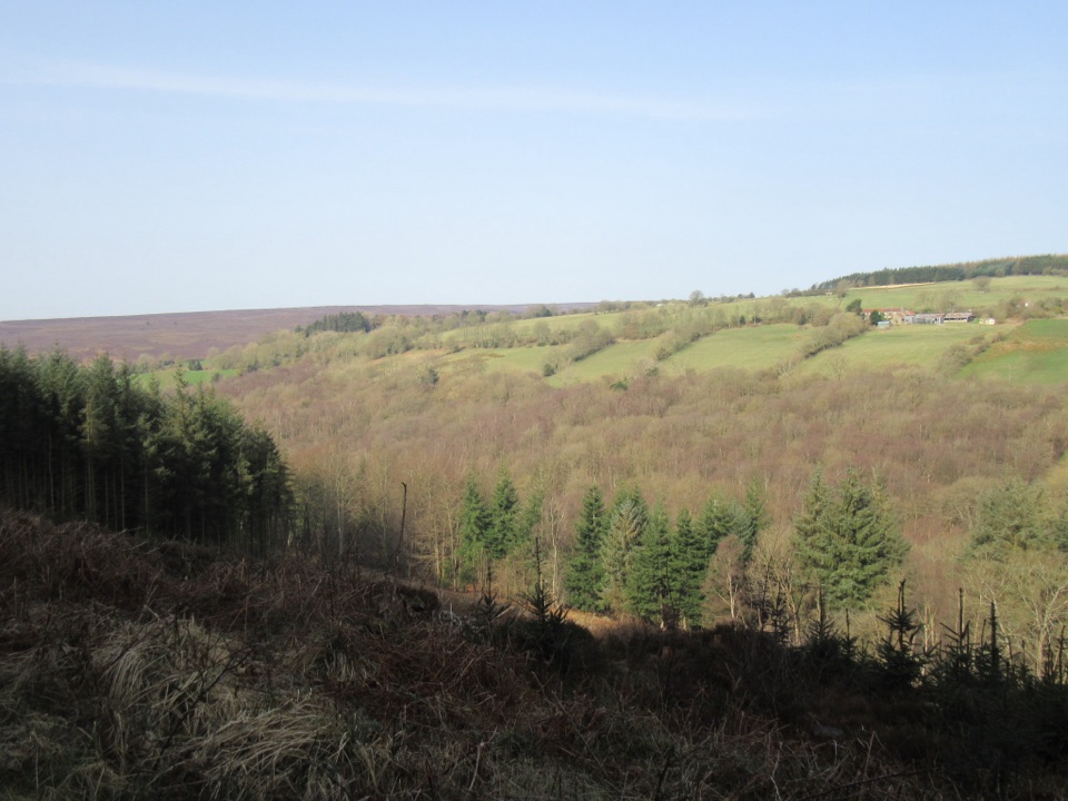
North York Moors National Park, EN
Pine plantation and woodland heath on a red-waymarked forest loop
Overview
Map & elevation
Plan your hike

The highest, rockiest slopes around here are a summer buffet for grizzly bears.
North York Moors Tour Guide
Parkwolf is a GPS audio tour guide for North York Moors National Park. As you drive, it chimes in with what’s ahead: hidden gems, upcoming stops, history, geology, and wildlife, right through your car’s speakers.
Recorded for this area
Heather for the Steelworks“Near Stape, heather once had a job far from the moor. At the Leaf Howe smallholding, one family made besoms, or brooms, from it to help earn their living.”
Plays on the road 1.8 km from the trailhead in the Parkwolf North York Moors Tour Guide.
More stories near here in the app
“Fantastic app with many points of information… It’s great to just turn on while you’re driving and it gives you an audio tour of the national Park. We love it!!!!”


Trail guide
A loop of 4.5 km (2.8 miles) starting and finishing at Forest Holidays Cropton, following red waymarkers. Mapped versions of the same circuit come out slightly longer, around 4.7 km, so treat the distance as approximate.
From the Forest Holidays Cropton access the way runs through mature pine conifer plantation and stretches of open woodland heath on forest roads and tracks. The route reaches its high ground near Spiers Bank, and descriptions of this area mention views across the Rosedale valley and toward Spaunton Moor, though how much you see will depend on tree cover and conditions where the waymarked line actually runs. The walk then returns through the forest.
Rated easy, with a recorded time of roughly an hour and a quarter for the full circuit. Underfoot it is forest road and track, with short climbs rather than sustained ascent. Total elevation range is modest, in the region of 60 m, with sampled ground broadly between about 150 and 213 m above sea level.
Much of the walk is enclosed by conifer plantation, with more open feeling where the woodland heath breaks up the tree cover. Open and higher sections are likely to be more exposed to wind and weather, so a windproof layer is sensible.
The plantation gives interest at any time of year, and the balance between shaded woodland and open heath will change with the light and the season. Forest tracks can hold water and mud after wet weather, so footwear with grip is worth choosing. Conditions and any forestry work can change access on tracks, so check locally before setting out.
The most photographed points are the Spiers Bank viewpoint, the track near Spiers Bank, and the surrounding woodland. Subjects are mainly the planted conifer blocks and the more open woodland heath, plus the possibility of roe deer at quiet times of day.
Start from Forest Holidays Cropton, Cropton, Pickering, YO18 8ES, and pick up the red waymarkers. Dogs are allowed. Keep them under control around other forest users and wildlife. How busy the route feels is hard to predict. It begins at a holiday location, so the opening stretch may see more foot traffic than the wider forest sections, but no crowd counts are available.
Wildlife
 15 sightingsEurasian OtterMost seen around 7 PMSighting map
 10 sightingsRed DeerMost seen around 7 AMSighting map
 79 sightingsGrey SealMost seen around noonSighting map
 26 sightingsWestern Barn OwlMost seen around 7 PMSighting map
 33 sightingsEuropean BadgerMost seen around 7 PMSighting map
 10 sightingsMute SwanMost seen around noonSighting map
Sighting maps show where each species has been reported across North York Moors. Wildlife moves, so no sighting is guaranteed.
Keep exploring
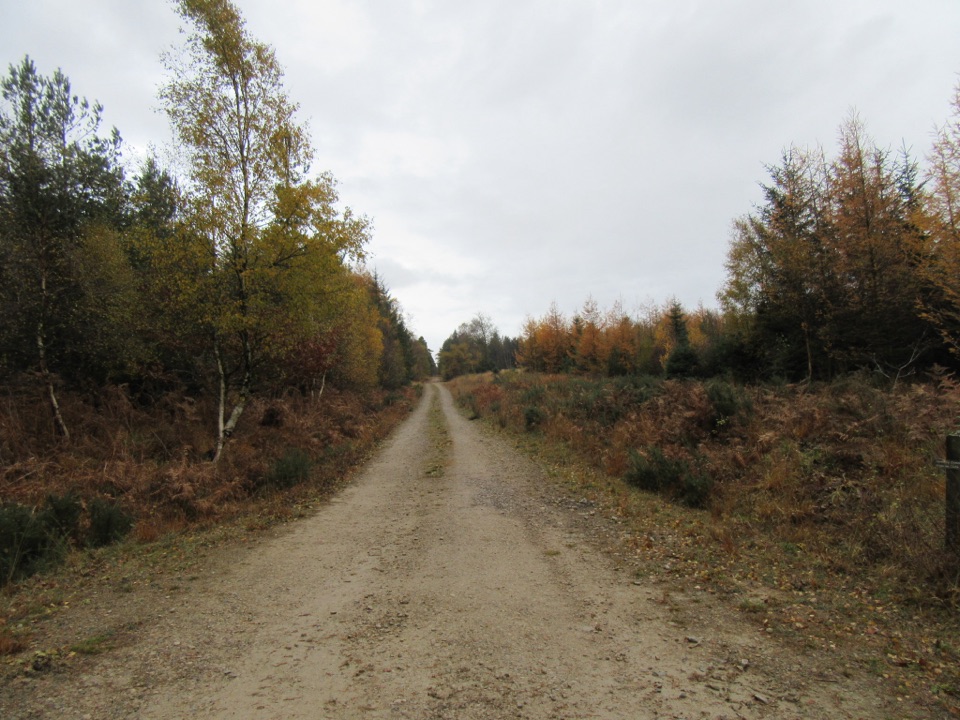 EasyLittle Beck Walk1.6 km · 45 min · At the trailheadGreen waymarkers lead a gentle mile through conifers to Little Beck.
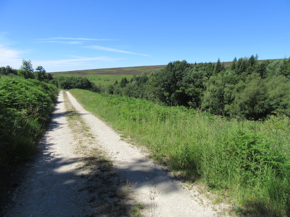 EasySpiers Bank Walk4.8 km · 1.5 hr · At the trailheadGravel forest roads climb to open heather and Rosedale valley views
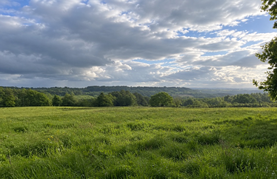 EasyParadise Walk at Cropton Forest2.4 km · 54 min · 2 km awaySteady climb to Vale of Pickering views, then an easy return
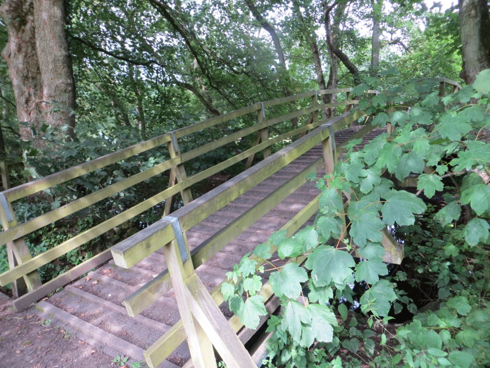 ModerateCropton Round Walk7.1 km · 2.5 hr · 2.8 km awayField paths, winding river and woodland circuit from Cropton village
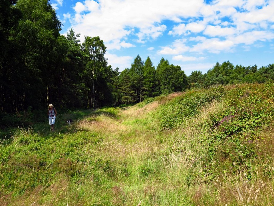 EasyCawthorn Roman Camps Circular1.6 km · 45 min · 3.4 km awayA mile of Roman earthworks, easy paths and a wide moorland viewpoint
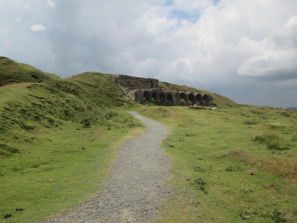 EasyMiles without Stiles (For many) - Rosedale Mineral Railway2 km · 1 hr · 5.1 km awayLevel cinder railway past ironstone kilns to a bench above Rosedale
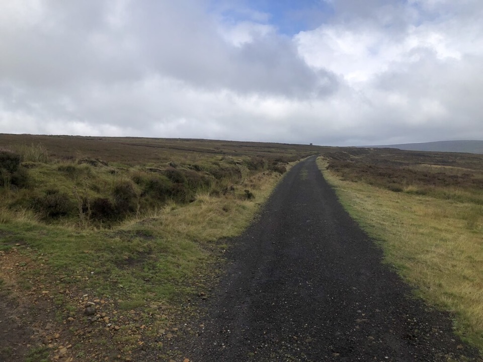 ModerateRosedale Abbey and Blakey Ridge Circular Walk10 km · 3.8 hr · 5.3 km awayRiverside fields climb to an old ironstone railway high above RosedaleModerateRosedale Walk12.1 km · 5 hr · 5.3 km awayPriory ruins, dale farms and an old ironstone railway: 12 km loop
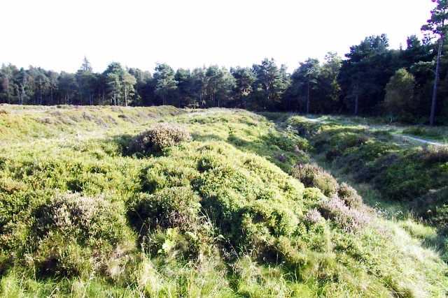 Sight · 3.1 km awayCawthorn Roman CampsMile-long walk around four Roman earthworks with wide moorland views.
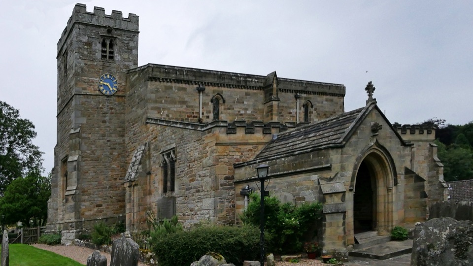 Sight · 3.1 km awaySt Mary's Church, LastinghamA rare double-aisled Norman crypt beneath a moor-edge village church
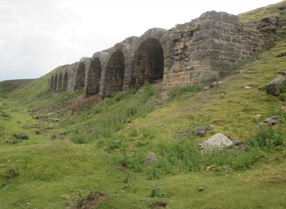 Sight · 4.7 km awayBank Top KilnsVictorian ironstone roasting arches standing open on the Rosedale moor
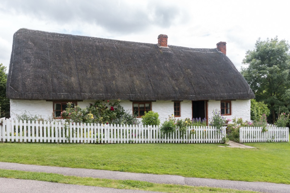 Sight · 5.3 km awayRyedale Folk MuseumRebuilt dales cottages and workshops you can walk right into
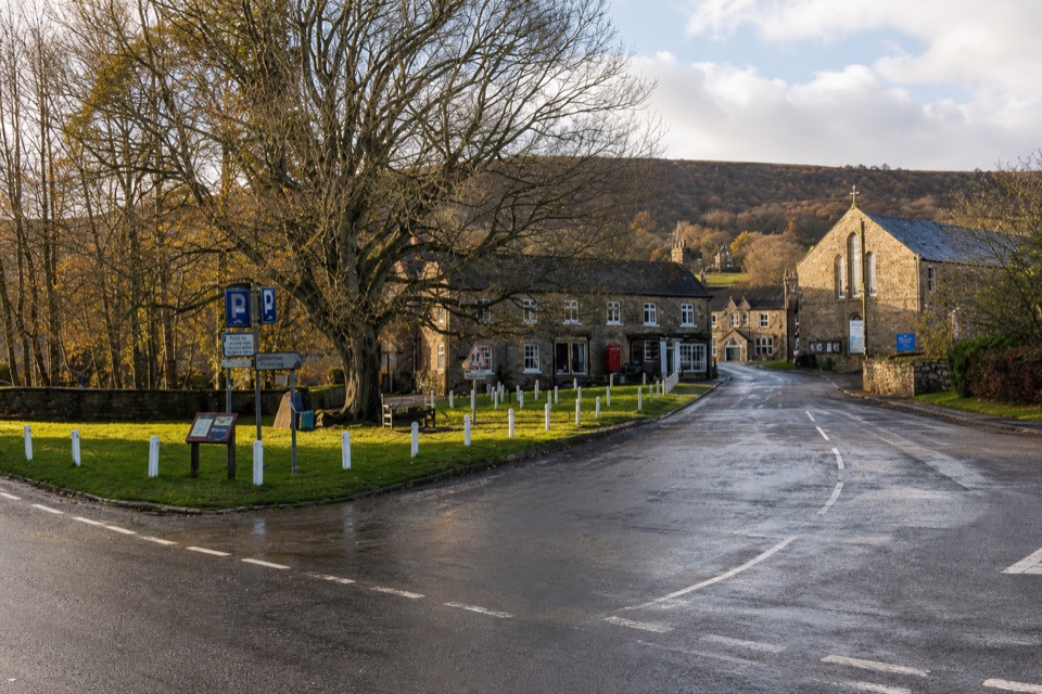 Sight · 5.3 km awayRosedale AbbeyGreen-centred dale village with ironstone kilns and moorland walks
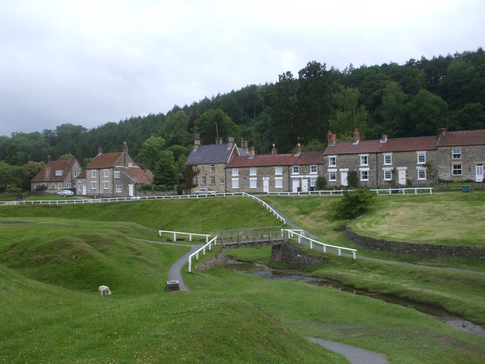 Sight · 5.5 km awayHutton-le-HoleHutton-le-Hole: clear moorland beck threading a broad, sheep-cropped green
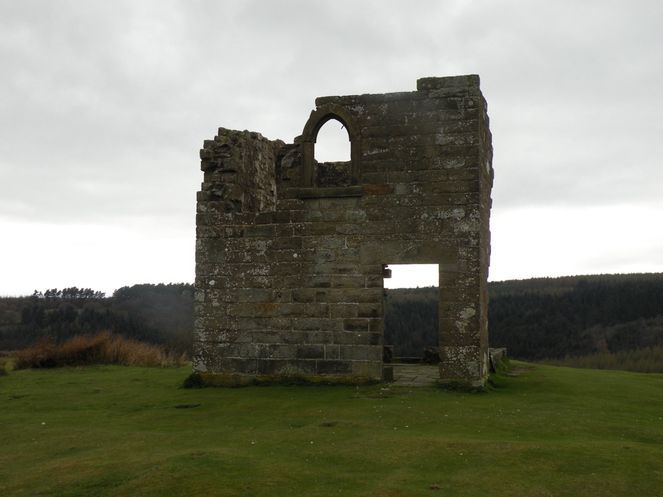 Sight · 6.4 km awaySkelton TowerRuined 1830s shooting lodge perched high above Newtondale's steam railway
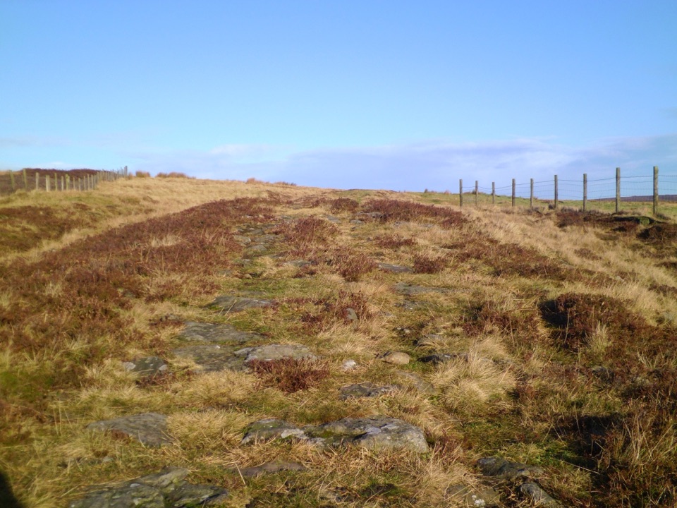 Sight · 7.8 km awayWheeldale Roman RoadAncient stone causeway over heather moor, its builders still debated
Parkwolf’s North York Moors ranking

The audio tour guide for the drive, plus offline maps, trails, and wildlife heatmaps for when the signal drops.





