Parking
Sutton Bank National Park Centre, postcode YO7 2EH. Pay-and-display parking is available at the Centre, where the circuit starts and finishes.
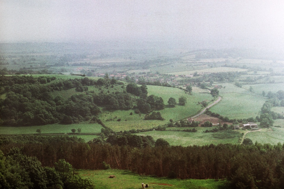
North York Moors National Park, EN
Escarpment views, the White Horse and a gliding club on firm tracks
Overview
Map & elevation
Plan your hike

The highest, rockiest slopes around here are a summer buffet for grizzly bears.
North York Moors Tour Guide
Parkwolf is a GPS audio tour guide for North York Moors National Park. As you drive, it chimes in with what’s ahead: hidden gems, upcoming stops, history, geology, and wildlife, right through your car’s speakers.
Recorded for this trailhead
Sutton Bank“Sutton Bank is coming up, where the moorland plateau ends abruptly above the Vale of York.”
Plays as you drive up to this trailhead in the Parkwolf North York Moors Tour Guide.
More stories near here in the app
“Fantastic app with many points of information… It’s great to just turn on while you’re driving and it gives you an audio tour of the national Park. We love it!!!!”


Trail guide
A closed loop of about 5.6 miles / 9 km, measured as the full circuit back to where you start rather than one way. Official wording elsewhere gives 5¼ miles / 8.5 km, and the mapped track comes out just under 9 km, so plan for roughly that distance either way. It is graded Miles without Stiles \"For some\": strong and confident wheelchair users with helpers may find it within their abilities, and it may suit off-road mobility scooters. It is not presented as a general pushchair or self-propelled wheelchair route.
From the National Park Centre car park you head out along the Cleveland Way toward the Kilburn White Horse, with the Vale of Mowbray opening out on your right and the Yorkshire Dales on the far horizon. After the approach to the White Horse the route follows road beside the Yorkshire Gliding Club, crosses the A170, picks up an aggregate track, then joins the Cliff cycle route through woods and fields. It returns by road and along the escarpment, finishing at the viewing platform before the short run back to the Centre. Saving the platform for the end means the biggest view is your last one.
Mostly level walking with short ups and downs. The steepest pitches are around 1:8 for stretches of up to 50 m, with gentler 1:13 sections running up to 150 m. There is a short drop and rise near the White Horse and another near the escarpment, both in that 1:8 range. Total ascent is around 80 m, with the high point near 320 m and the low near 267 m, so the profile is a series of small rolls rather than one climb.
Surfaces change repeatedly: smooth aggregate, tarmac, path, dirt road, and rougher aggregate and soil. After wet weather some sections turn rough, muddy or slippery, including parts near the White Horse, which matters most if you are pushing wheels or using a scooter.
The circuit crosses the A170, where traffic moves fast. Take the time to pick a clear gap, and factor in that a wheelchair or scooter needs a longer window than you might expect. The official roadbook offers an optional shortcut at this point, but the main circuit, and the distance above, continues across.
The long westward views across the Vale of Mowbray are the signature, best framed from the escarpment edge and the viewing platform. Gliders launching and circling above the club give you moving subjects against big sky, and the wooded and field sections around the Gormire Lake area offer closer, quieter foreground detail. The White Horse itself, cut into the turf in 1857, reads better from a distance than from directly beneath it.
Start and finish at the Sutton Bank National Park Centre (YO7 2EH), which has accessible toilets and refreshments. Parking at the Centre is pay and display. Partway round, the Yorkshire Gliding Club has a cafe and a toilet suitable for people who can weight-bear.
Dogs are allowed on public rights of way here. Keep them on a short lead around livestock, and on moorland during the ground-nesting bird season from 1 March to 31 July.
This is the longer accessible choice at Sutton Bank. Shorter out-and-back sections of the Cleveland Way north or south of the Centre deliver much the same escarpment view with far less distance, fewer surface changes, and no road crossing, which is worth considering if wet ground or the A170 is a concern.
Wildlife
 15 sightingsEurasian OtterMost seen around 7 PMSighting map
 10 sightingsRed DeerMost seen around 7 AMSighting map
 79 sightingsGrey SealMost seen around noonSighting map
 26 sightingsWestern Barn OwlMost seen around 7 PMSighting map
 33 sightingsEuropean BadgerMost seen around 7 PMSighting map
 10 sightingsMute SwanMost seen around noonSighting map
Sighting maps show where each species has been reported across North York Moors. Wildlife moves, so no sighting is guaranteed.
Keep exploring
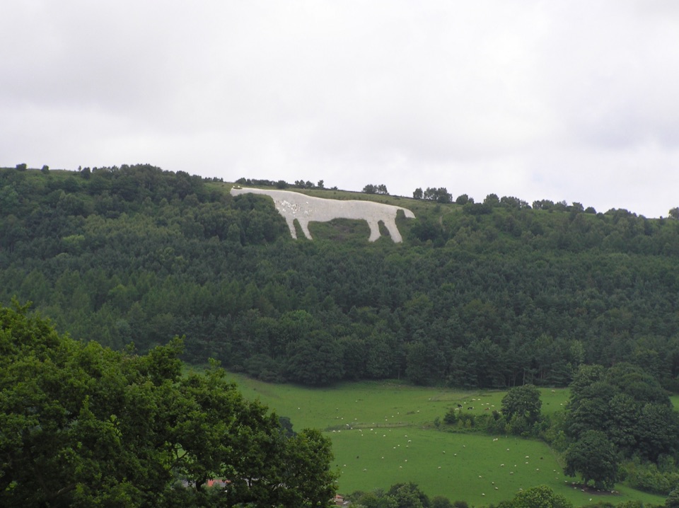 ModerateWhite Horse Walk5.4 km · 1.8 hr · At the trailheadEscarpment views, gliders and 151 steps down to the Kilburn White Horse
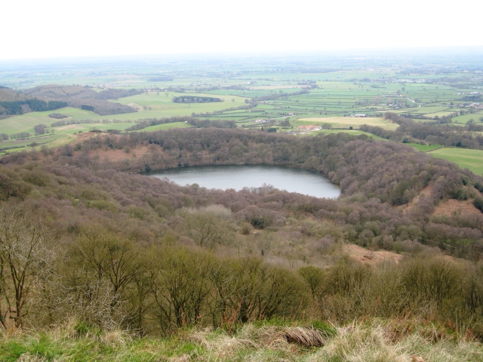 ModerateSutton Bank, Kilburn White Horse and Gormire Lake13.5 km · 4.5 hr · At the trailheadCliff-edge views, England's biggest white horse, then a quiet lakeEasyMiles without Stiles (For many) - Sutton Bank and Kilburn White Horse5.6 km · 1.6 hr · At the trailheadStep-free escarpment walk to the White Horse, big Vale of York views
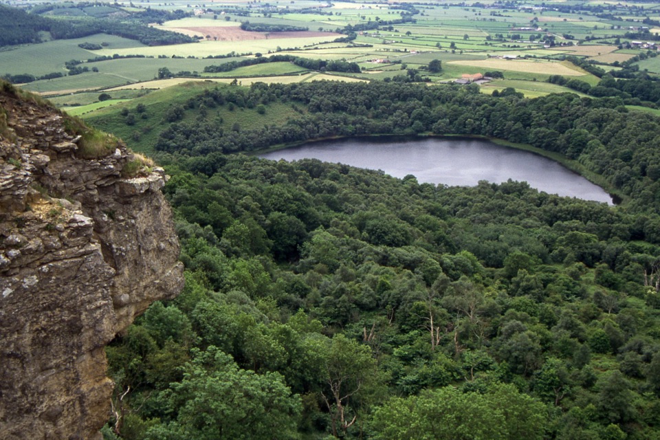 ModerateGormire Lake from Sutton Bank6.5 km · 2.5 hr · At the trailheadCliff-edge views, a steep woodland drop to a quiet hidden lake
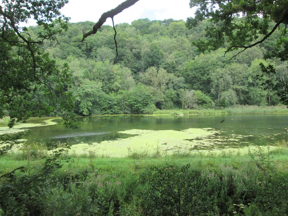 EasyMiles without Stiles (For many) - Nettledale1.6 km · 45 min · 4.9 km awayA gentle woodland track to ponds and a Cleveland Way stream crossing
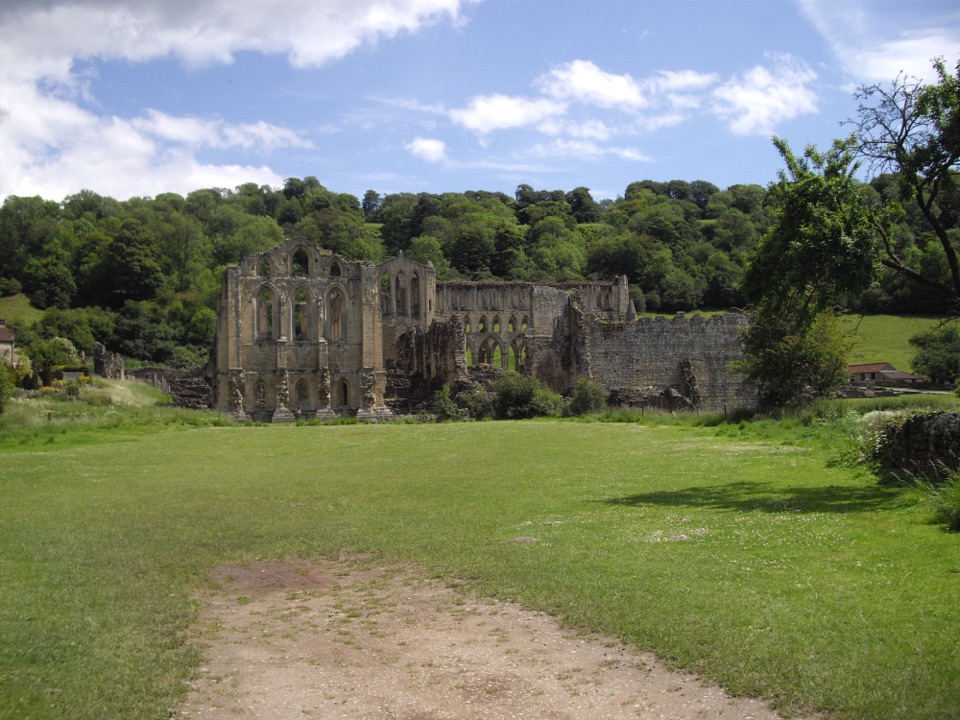 EasyMiles without Stiles (For some) - Rievaulx Loop4 km · 1.1 hr · 6.2 km awayAbbey views, bridges and bluebell woods on a short, hilly 2.5-mile loopEasyRievaulx Loop3.7 km · 1 hr · 6.2 km awayAncient canal line, Bow Bridge and abbey views in one easy hour
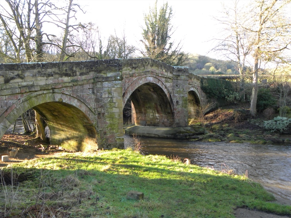 EasyRiver Folk Audio Trail3.7 km · 1 hr · 6.2 km awayShort river valley loop with downloadable audio stories by Rievaulx Abbey
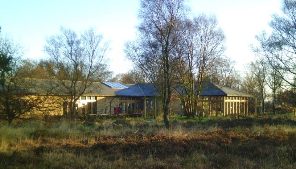 Visitor center · At the trailheadSutton Bank National Park CentreEscarpment-edge hub with huge views, easy trails and family bike routes
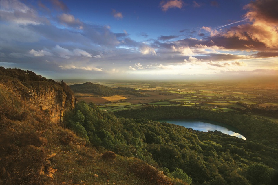 Sight · 0.3 km awaySutton Bank ViewpointCliff-edge panorama over the Vale of York, Gormire Lake below
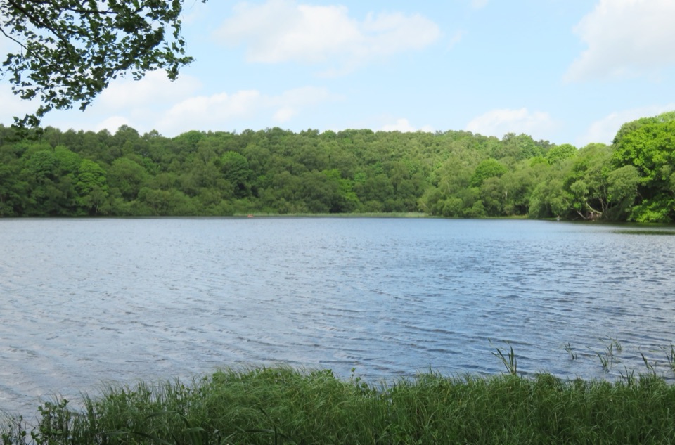 Sight · 1.3 km awayGormire LakeGlacial lake below Whitestone Cliff, reached by a steep woodland descent
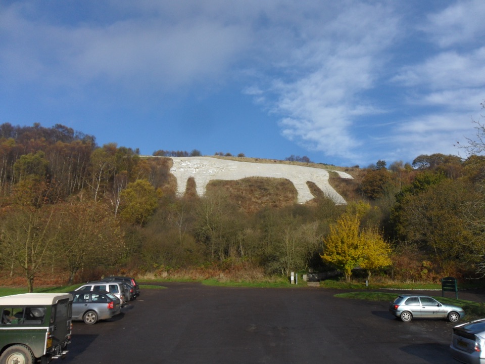 Sight · 1.8 km awayWhite Horse of KilburnBritain's most northerly turf-cut hill figure, visible for over 20 miles
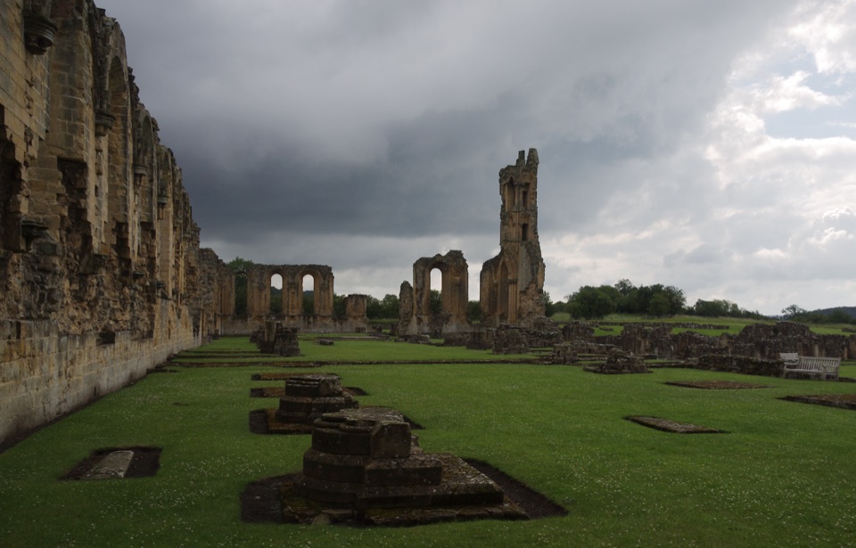 Sight · 5.3 km awayByland AbbeyByland Abbey: vast early Gothic ruins under a shattered rose window
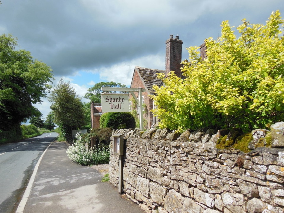 Sight · 6 km awayShandy Hall and GardensLaurence Sterne's medieval home, now a literary museum and wild garden
 Sight · 6.3 km awayRievaulx AbbeyTall Cistercian church arches in a quiet wooded river valley
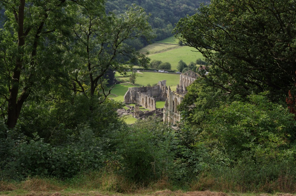 Sight · 6.7 km awayRievaulx TerraceGrassy Georgian terrace with two temples and framed abbey views
Parkwolf’s North York Moors ranking

The audio tour guide for the drive, plus offline maps, trails, and wildlife heatmaps for when the signal drops.





