Parking
Start at Sutton Bank National Park Centre car park, Sutton Bank, Thirsk YO7 2EH. The Centre provides the practical starting facilities and the circuit crosses the A170 at the start and again on return.
North York Moors National Park, EN
Cliff-edge views, England's biggest white horse, then a quiet lake
Overview
Map & elevation
Plan your hike

The highest, rockiest slopes around here are a summer buffet for grizzly bears.
North York Moors Tour Guide
Parkwolf is a GPS audio tour guide for North York Moors National Park. As you drive, it chimes in with what’s ahead: hidden gems, upcoming stops, history, geology, and wildlife, right through your car’s speakers.
Recorded for this trailhead
Sutton Bank“Sutton Bank is coming up, where the moorland plateau ends abruptly above the Vale of York.”
Plays as you drive up to this trailhead in the Parkwolf North York Moors Tour Guide.
More stories near here in the app
“Fantastic app with many points of information… It’s great to just turn on while you’re driving and it gives you an audio tour of the national Park. We love it!!!!”


Trail guide
An 8.4-mile circuit starting and finishing at Sutton Bank National Park Centre car park, linking open escarpment walking with the Kilburn White Horse, wooded Gormire Lake, farmland and a ridge return. Allow 4 to 4.5 hours and treat it as moderate to hard (6/10): the distance is manageable, but steep steps, several sharp climbs and soft ground do the damage.
The escarpment sections are firm and easy underfoot. The rest is not: expect steep steps and descents, roughly a thousand feet of cumulative ascent spread over several short climbs, field paths and woodland and farm tracks that hold mud for much of the year. Boots with grip, not trainers. Carry all your water, since there is no reliable source on the route.
Start at Sutton Bank National Park Centre car park, Sutton Bank, Thirsk YO7 2EH, where there are toilets, refreshments and visitor information. The A170 crossing at the start and return needs care with fast traffic. The car park fills on sunny weekends and during school holidays, so an early start helps.
Ordinary dogs are fine on this public rights of way route, but this is working land. Keep dogs on a lead near the unfenced edge, around the gliding area and anywhere livestock is present, and stay on rights of way across moorland. Park guidance asks for a short lead under 2 metres from 1 March to 31 July on moorland and near farm animals, which covers most of the walking season here.
The views and variety are genuinely good, but the lower paths and repeated climbs are the friction, and the White Horse is anticlimactic from directly above. If you want the escarpment and the horse without the mud and ascent, a much shorter Sutton Bank and White Horse walk of under two miles covers the same clifftop viewpoint on hard compacted path and skips Gormire Lake entirely.
Wildlife
 15 sightingsEurasian OtterMost seen around 7 PMSighting map
 10 sightingsRed DeerMost seen around 7 AMSighting map
 79 sightingsGrey SealMost seen around noonSighting map
 26 sightingsWestern Barn OwlMost seen around 7 PMSighting map
 33 sightingsEuropean BadgerMost seen around 7 PMSighting map
 10 sightingsMute SwanMost seen around noonSighting map
Sighting maps show where each species has been reported across North York Moors. Wildlife moves, so no sighting is guaranteed.
Keep exploring
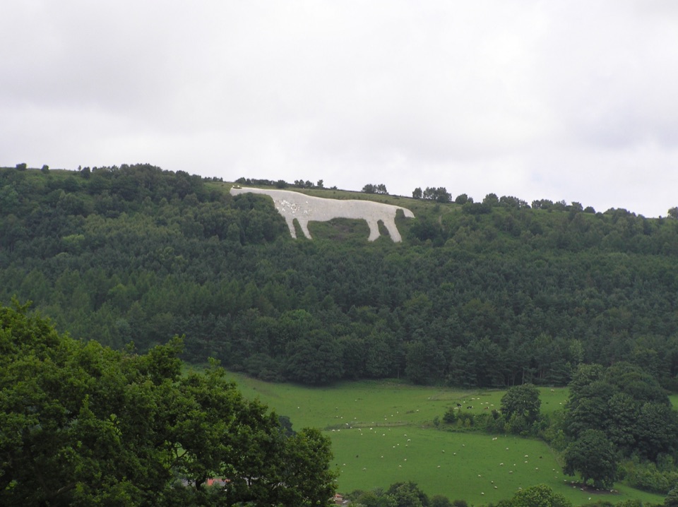 ModerateWhite Horse Walk5.4 km · 1.8 hr · At the trailheadEscarpment views, gliders and 151 steps down to the Kilburn White Horse
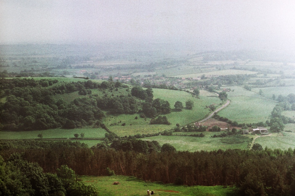 ModerateMiles without Stiles (For some) - Sutton Bank Access Circuit9 km · 2.5 hr · At the trailheadEscarpment views, the White Horse and a gliding club on firm tracksEasyMiles without Stiles (For many) - Sutton Bank and Kilburn White Horse5.6 km · 1.6 hr · At the trailheadStep-free escarpment walk to the White Horse, big Vale of York views
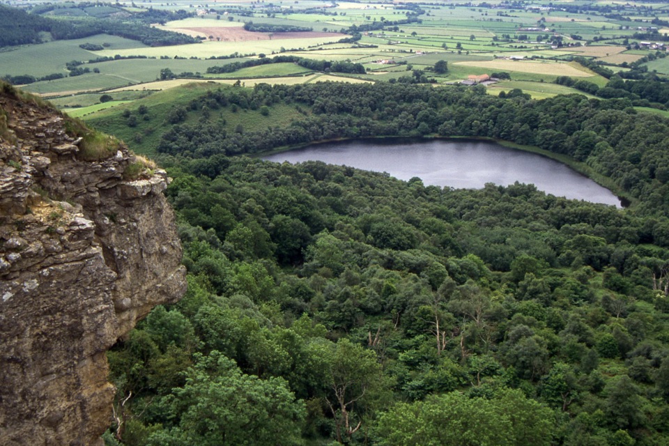 ModerateGormire Lake from Sutton Bank6.5 km · 2.5 hr · At the trailheadCliff-edge views, a steep woodland drop to a quiet hidden lake
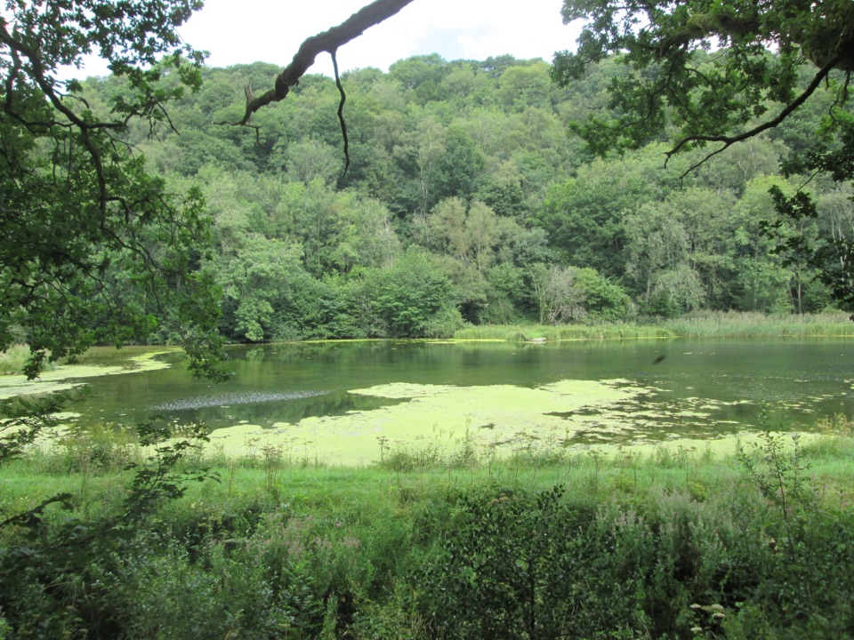 EasyMiles without Stiles (For many) - Nettledale1.6 km · 45 min · 5 km awayA gentle woodland track to ponds and a Cleveland Way stream crossing
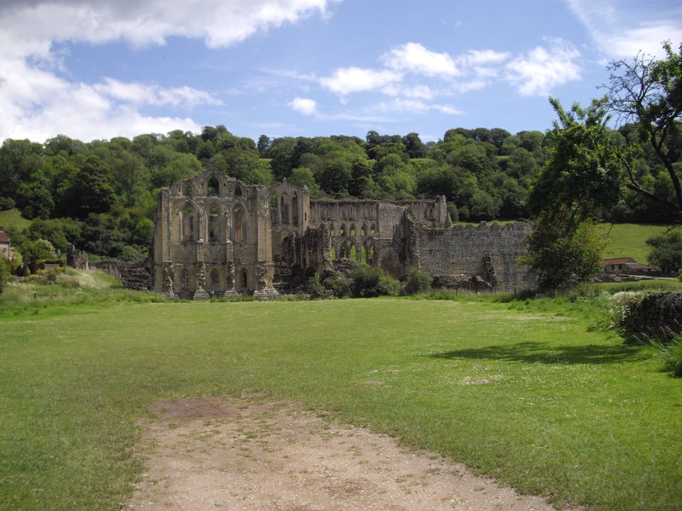 EasyMiles without Stiles (For some) - Rievaulx Loop4 km · 1.1 hr · 6.2 km awayAbbey views, bridges and bluebell woods on a short, hilly 2.5-mile loopEasyRievaulx Loop3.7 km · 1 hr · 6.2 km awayAncient canal line, Bow Bridge and abbey views in one easy hour
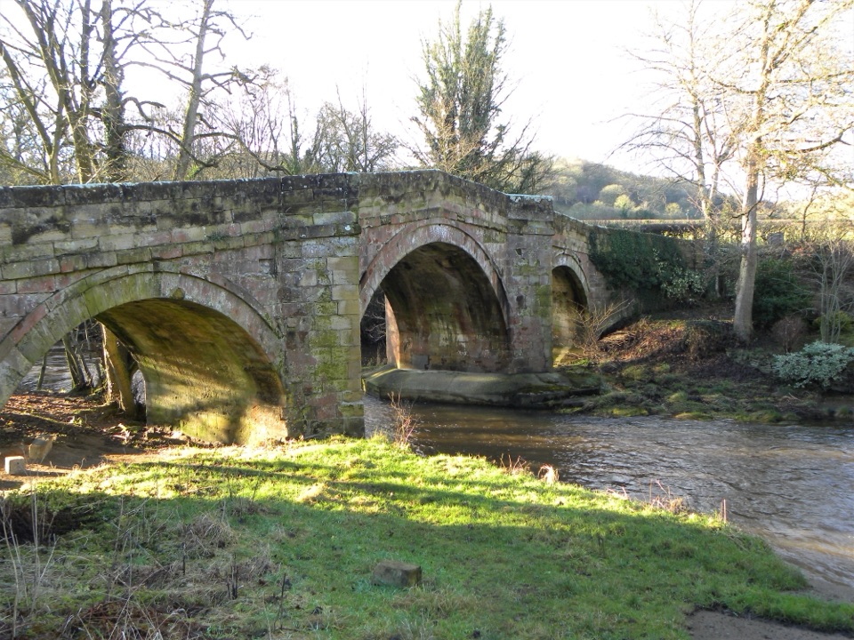 EasyRiver Folk Audio Trail3.7 km · 1 hr · 6.2 km awayShort river valley loop with downloadable audio stories by Rievaulx Abbey
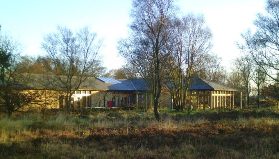 Visitor center · At the trailheadSutton Bank National Park CentreEscarpment-edge hub with huge views, easy trails and family bike routes
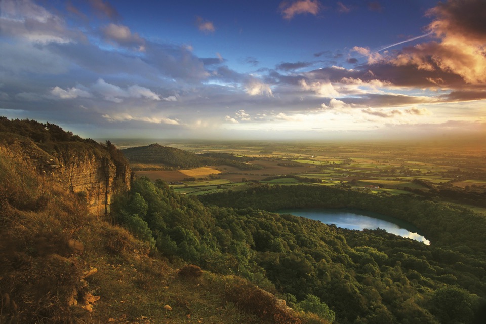 Sight · 0.3 km awaySutton Bank ViewpointCliff-edge panorama over the Vale of York, Gormire Lake below
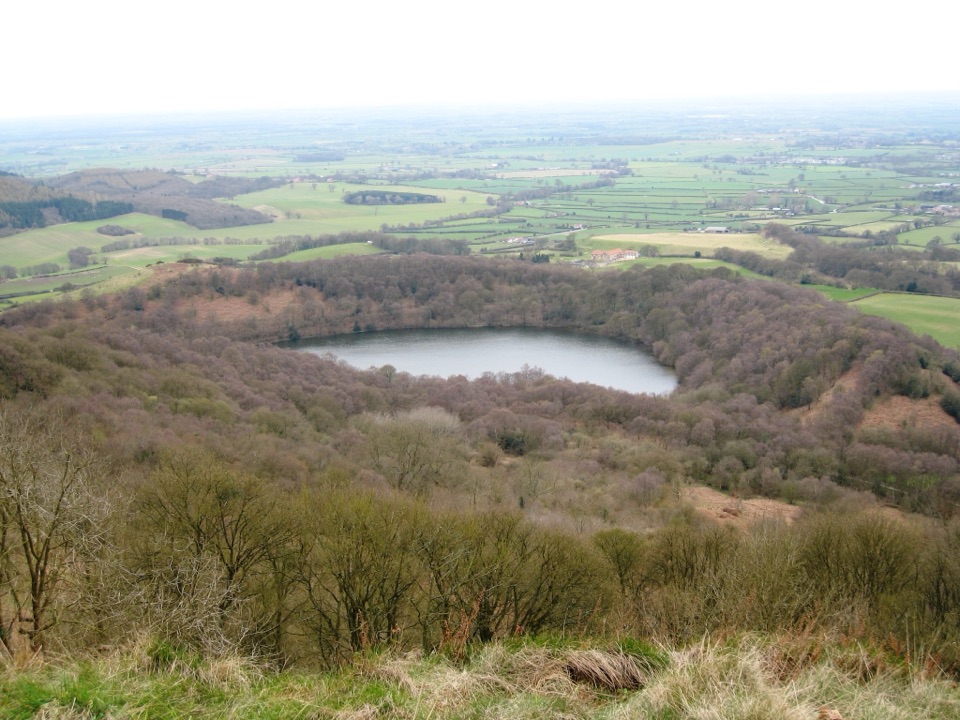
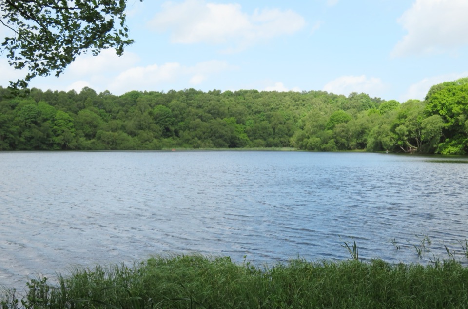 Sight · 1.3 km awayGormire LakeGlacial lake below Whitestone Cliff, reached by a steep woodland descent
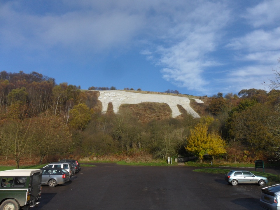 Sight · 1.8 km awayWhite Horse of KilburnBritain's most northerly turf-cut hill figure, visible for over 20 miles
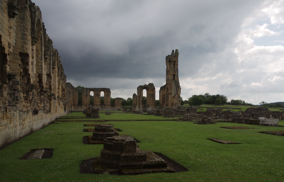 Sight · 5.3 km awayByland AbbeyByland Abbey: vast early Gothic ruins under a shattered rose window
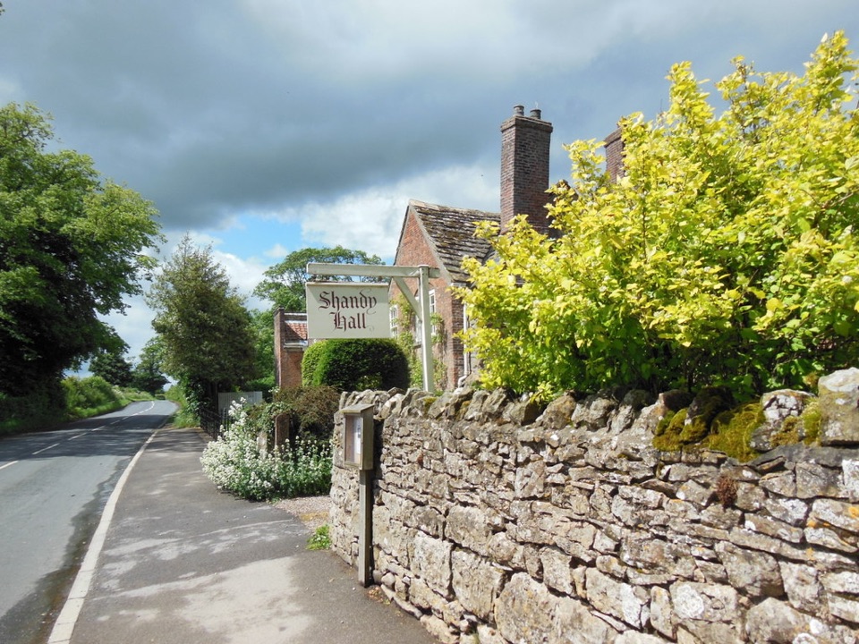 Sight · 5.9 km awayShandy Hall and GardensLaurence Sterne's medieval home, now a literary museum and wild garden
 Sight · 6.3 km awayRievaulx AbbeyTall Cistercian church arches in a quiet wooded river valley
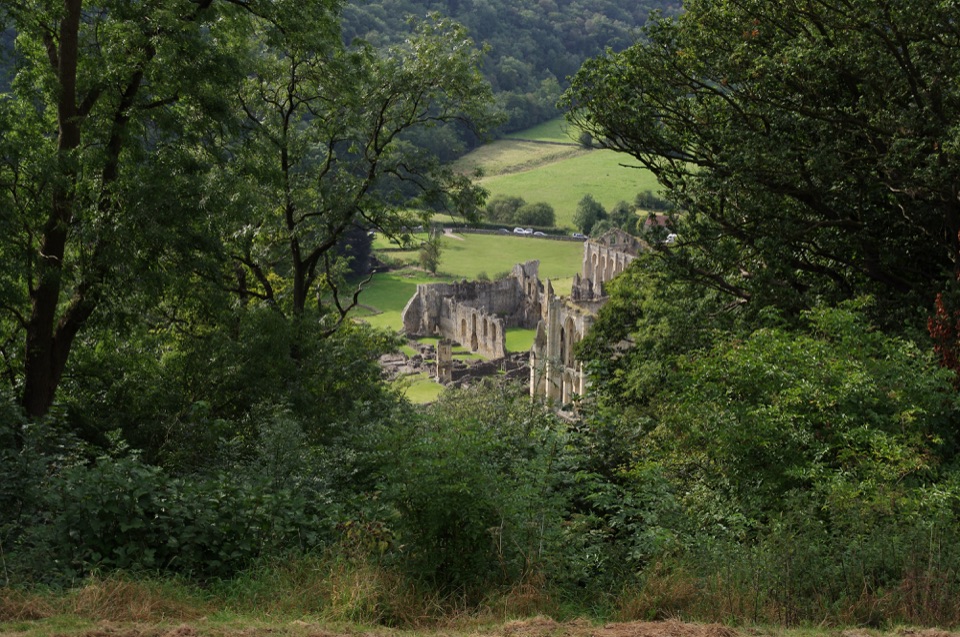 Sight · 6.7 km awayRievaulx TerraceGrassy Georgian terrace with two temples and framed abbey views
Parkwolf’s North York Moors ranking

The audio tour guide for the drive, plus offline maps, trails, and wildlife heatmaps for when the signal drops.





