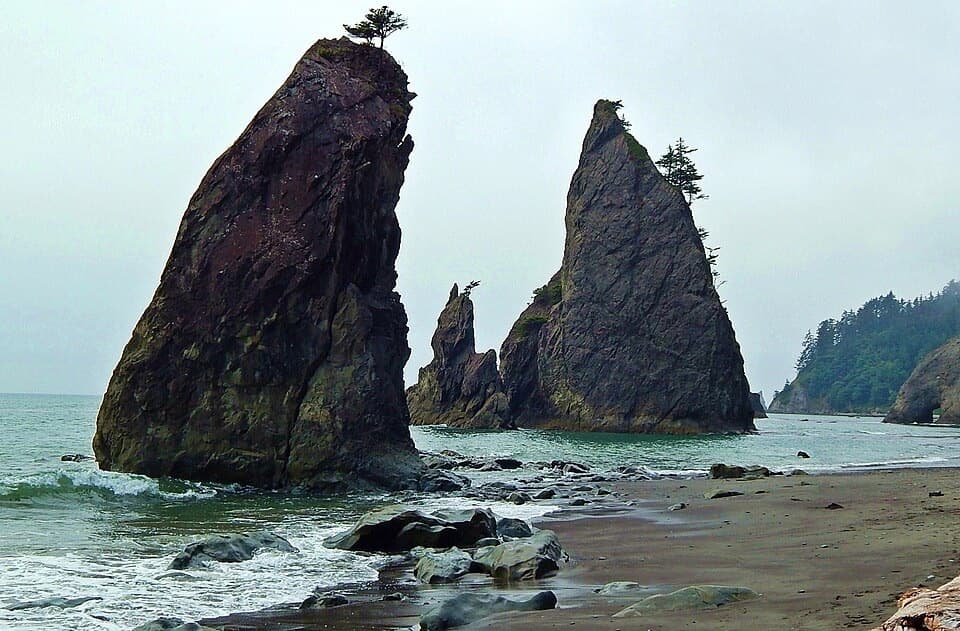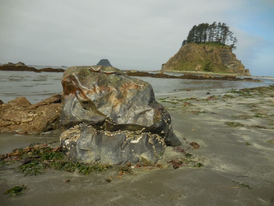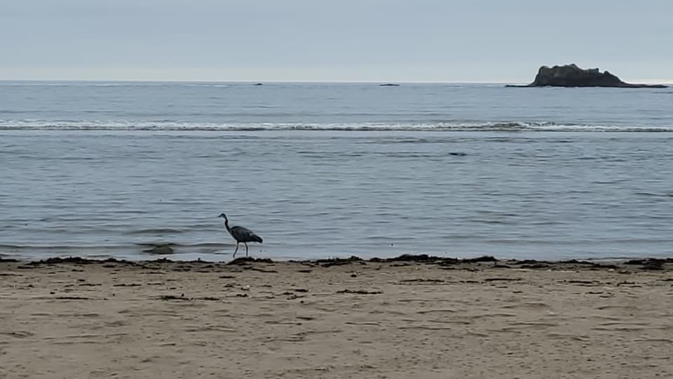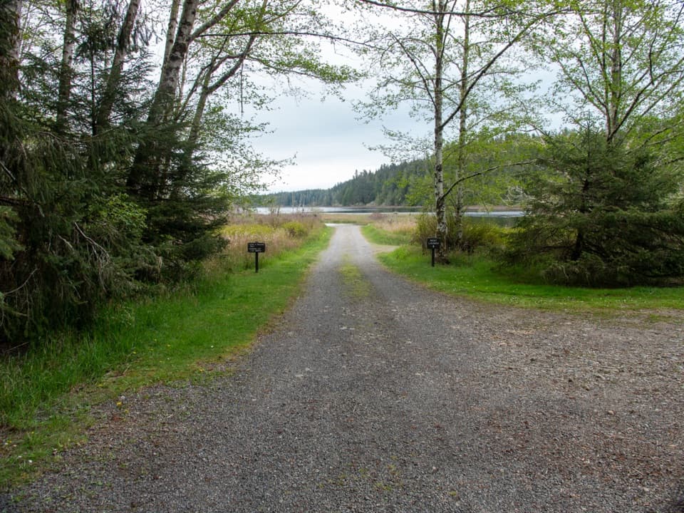
Ericson's Bay Primitive Trail in Olympic National Park

Olympic National Park, WA

Ericson's Bay Primitive Trail

A remote, flat coast-to-lake walk on slick old boardwalk.

Length
2mi
Time
1.5hr
Elev. change
121ft
Difficulty
Moderate
  • No dogs
  • High point 144 ft
Parkwolf audio tour204 stories across Olympic’s roads

Overview

About Ericson's Bay Primitive Trail

Why go

  • A rare coast-to-lake walk through coastal forest
  • Little overall elevation change

Heads up

  • Unmaintained old boardwalk can be slick and hazardous
  • Remote access and the exact entrance need confirmation

Map & elevation

The route

Loading the Olympic map
Full map
Elevation23–144 ft
TrailheadSouth Sand Point coast junction48.11981, -124.69779
Keep this map with you offline in the Parkwolf app

Plan your hike

Before you go

Parking

The nearest parking is the Ozette Ranger Station lot at the end of Ozette Lake Road. The trail itself has no roadside access; the coast end is reached by a separate Sand Point approach and beach walk or by the boat access described by the park. Confirm the usable approach before setting out.

Safety

The trail is unmaintained, with old boardwalk that can be hazardous and slippery; map-and-compass navigation may be needed. The park describes boat access from the east side of Ericson’s Bay, while coastal route descriptions place the entrance near South Sand Point. Confirm current access with the park. Ericson’s Bay Camp is not connected by trail.

6 active Olympic alerts

  • CautionUS 101 Hoh River Bridge reduced to one laneUS 101 at the Hoh River Bridge is restricted to one lane of alternating traffic; obey the signals and 25 mph speed limit.Official details
  • ClosureStaircase wilderness trails and campsites remain closedWilderness trails and campsites around Staircase remain closed during recovery from the Bear Gulch Fire; the developed Staircase area, including the Rapids Loop, campground, and ranger station, is…Official details
See all 6 alerts
A park ranger sits on a dash-mounted phone, talking, as Parkwolf’s Tour Guide plays “Army Cutworm Moths: A Grizzly Bear Buffet” on Grand Loop Road below Dunraven Pass in Yellowstone
Parkwolf Tour GuideThe highest, rockiest slopes around here are a summer buffet for grizzly bears.

Olympic Tour Guide

Your drive to Ericson's Bay Primitive Trail, narrated.

Parkwolf is a GPS audio tour guide for Olympic National Park. As you drive, it chimes in with what’s ahead: hidden gems, upcoming stops, history, geology, and wildlife, right through your car’s speakers.

See the Olympic audio tour

More stories near here in the app

  • Ozette: The Walk to Cape Alava
  • The Lost Resort: Camp and Supplies Near Ozette
  • The Farms Around Ozette
  • The Whale That Sifts the Seafloor
  • 204 audio storiesacross Olympic’s roads, triggered by GPS as you drive
  • Wildlife heatmapsfor Olympic Marmot, Humpback Whale, Grey Whale, and 13 more
  • Works offlinemaps, 148 trails, 94 places, and audio download before you lose signal
  • CarPlay readysimple controls built for the drive
★★★★★
“Fantastic app with many points of information… It’s great to just turn on while you’re driving and it gives you an audio tour of the national Park. We love it!!!!”
JMJamesApp Store review
Download Parkwolf on the App StoreGet Parkwolf on Google Play

4.7 from 8,600+ ratings

Trail guide

Hiking Ericson's Bay Primitive Trail

A two-mile coast-to-lake connectorEricson's Bay Primitive Trail is a 2-mile, one-way point-to-point walk between the Pacific…

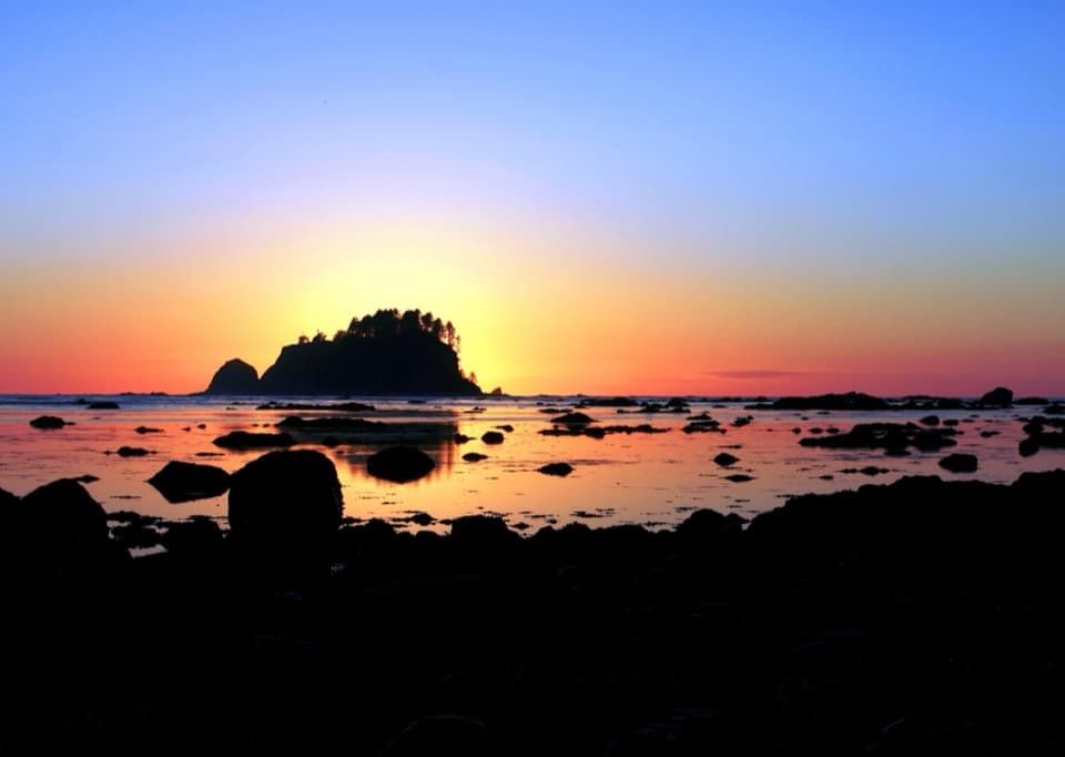
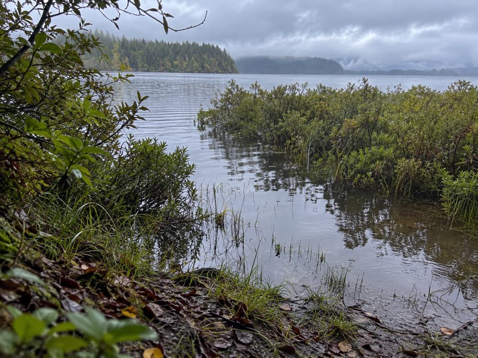
Ericson's Bay Primitive Trail is a 2-mile, one-way point-to-point walk between the Pacific coast near South Sand Point and the Lake Ozette shore. It stays low through coastal forest, with little overall elevation change. Allow about an hour and a half for this segment: the rough tread slows you down. Walking back means repeating the same two miles; a longer Ozette-to-coast outing adds a separate approach and beach walking.

Take the old boards slowlyThis is a primitive route, not a polished path.

This is a primitive route, not a polished path. The National Park Service says it is unmaintained and warns that the old boardwalk can be hazardous and slippery. Brush can soak your clothes after rain, and map-and-compass navigation may be needed where the tread is hard to follow. There are no campsites along the trail. The clearing at the Lake Ozette end is not Ericson's Bay Camp, which has no trail connection.

Confirm how to reach itThere is no road access at either end.

There is no road access at either end. The land approach is commonly described from the Ozette Ranger Station by way of the Sand Point route and beach, while the park's trail page says access is by boat from the east side of Ericson's Bay. Those instructions do not settle a dependable approach, so confirm the route with Olympic National Park before setting out. Pets are prohibited on coastal beaches and trails. If you camp overnight on the coast, check the wilderness permit requirements and use a park-approved bear canister.

Wildlife

Wildlife in Olympic

All Olympic wildlife maps

Sighting maps show where each species has been reported across Olympic. Wildlife moves, so no sighting is guaranteed.

Keep exploring

Near Ericson's Bay Primitive Trail

See it all on the map

Trails that start nearby

Places near the trailhead

Parkwolf’s Olympic ranking

Top-rated trails in Olympic

All 148 trails
  1. 1Hall of Mosses TrailEasy · 0.8 mi
  2. 2Hurricane Hill TrailModerate · 3.3 mi
  3. 3Sol Duc Falls Nature TrailEasy · 1.6 mi
  4. 4High Divide Loop (Seven Lakes Basin)Challenging · 19 mi
  5. 5Hoh River TrailChallenging · 34.8 mi
  6. 6Shi Shi Beach and Point of Arches TrailModerate · 8 mi

Take Parkwolf to Olympic.

The audio tour guide for the drive, plus offline maps, trails, and wildlife heatmaps for when the signal drops.

4.7 from 8,600+ ratings

Download Parkwolf on the App StoreGet Parkwolf on Google Play