Parking
Use the Ozette Ranger Station parking area; follow the trail signs behind the station to the Cape Alava and Sand Point boardwalks.
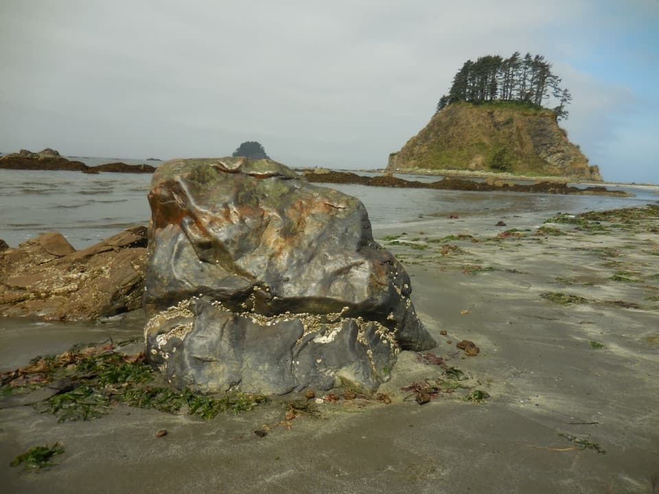
#9 of 148 trails in Olympic
Olympic National Park, WA
Boardwalks, tide pools, and a rugged coast on one full loop.
Overview
Map & elevation
Plan your hike

The highest, rockiest slopes around here are a summer buffet for grizzly bears.
Olympic Tour Guide
Parkwolf is a GPS audio tour guide for Olympic National Park. As you drive, it chimes in with what’s ahead: hidden gems, upcoming stops, history, geology, and wildlife, right through your car’s speakers.
See the Olympic audio tourRecorded for this trailhead
Ozette: The Walk to Cape Alava“You’re nearing Ozette Ranger Station beside the lake, the starting point for the walk to Cape Alava. Choose this for a half-day outing through coastal forest and prairie to a rocky Pacific beach.”
Plays as you drive up to this trailhead in the Parkwolf Olympic Tour Guide.
More stories near here in the app
“Fantastic app with many points of information… It’s great to just turn on while you’re driving and it gives you an audio tour of the national Park. We love it!!!!”


Trail guide
Ozette Loop, also called the Ozette Triangle, is a 9.2-mile loop from the Ozette Ranger Station to Cape Alava, south along the Pacific shore, then back through the forest from Sand Point. It’s the park’s full forest-to-coast outing: two boardwalk approaches, one beach connection, and a very different scene at each end. Choose it for the whole coastal progression, not for an easy stroll or a quick beach stop.
Both forest legs use raised boardwalk through coastal forest. The Cape Alava side crosses prairie before descending by stairs to the rocky shore. The boards make the route straightforward to follow, but they’re slick when wet or frosty, so take care even where the path looks level. The Cape-side prairie is tied to former homesteader Lars Ahlstrom, who pastured livestock there; it’s a reminder that this landscape has a human history as well as a wild one.
The middle leg is about 3.1 miles of beach, not three miles of smooth sand. Expect stretches of sand and gravel mixed with slippery rocks, kelp, tide pools, and drift logs. Picking a way over or around those obstacles is slower than walking the boardwalk, and the shore is exposed to wind and rain. High water can require steep overland routes over headlands. Check tide tables and carry a map before you start; a tide window can decide whether the triangle is a comfortable day walk or a difficult one.
Cape Alava ends on rocky shore with views toward offshore reefs and islands. At Wedding Rocks, look for petroglyphs, but leave them alone: they’re cultural resources, not trail decorations. The broader Ozette area was a village landscape. A 1970 storm surge exposed a site where mudslides had buried longhouses; excavations uncovered three 300-year-old longhouses and more than 50,000 artifacts. The site has since been filled and revegetated, and its artifacts are interpreted at the Makah Museum in Neah Bay. On the beach, frame the offshore rocks with a little shoreline so the scale and exposed coast both show.
Sand Point is the loop’s wide, sandy beach, a clear change from Cape Alava’s rocks. From there the boardwalk heads back through forest to the Ranger Station. Pit toilets are available at both coastal ends. Creeks are listed as water sources, but coastal water needs filtering or boiling, and some sources dry later in summer; don’t plan on untreated water being ready when you arrive.
Allow about five hours, with extra time for tide pools, rough footing, or a headland detour. The elevation change is small compared with mountain hikes, but nine-plus miles and the rocky beach make this more than a boardwalk stroll. The park rates it easy; I’d call the full loop moderate for anyone who isn’t comfortable moving over uneven, slippery shore. The forest sections are much easier walking than the beach.
Park at the Ozette Ranger Station and follow the trail signs behind it. There’s no food service on the route; pit toilets are at Cape Alava and Sand Point. Pets, wheeled devices, and stock aren’t allowed on coastal beaches or trails. Overnight camping requires a wilderness permit year-round; the permit rule is for overnight trips, not a reason to skip the day loop.
Wildlife
 710 sightingsOlympic MarmotMost seen around 11 AMSighting map
 30 sightingsHumpback WhaleMost seen around 6 PMSighting map
 42 sightingsGrey WhaleMost seen around noonSighting map
 23 sightingsMountain LionMost seen around 8 PMSighting map
 71 sightingsMountain GoatMost seen around 7 AMSighting map
 306 sightingsBald EagleMost seen around 11 AMSighting map
Sighting maps show where each species has been reported across Olympic. Wildlife moves, so no sighting is guaranteed.
Keep exploring
 ModerateCape Alava Trail6.6 mi · 4 hr · At the trailheadBoardwalk, prairie, and rocky Pacific shore on a long out-and-back.
 ModerateSand Point Trail5.6 mi · 3.5 hr · At the trailheadA mostly boardwalk walk to a wide Pacific beach.
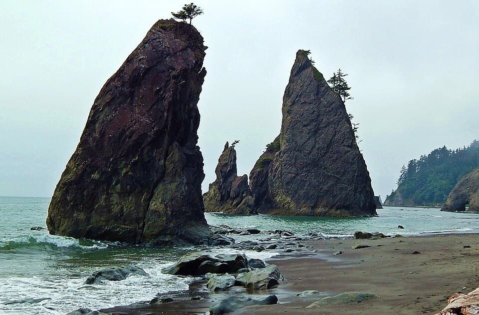 ChallengingNorth Coast Route: Sand Point to Rialto Beach17.3 mi · 13 hr · 2.6 mi awaySea stacks and shipwreck memorials, with tides setting the pace
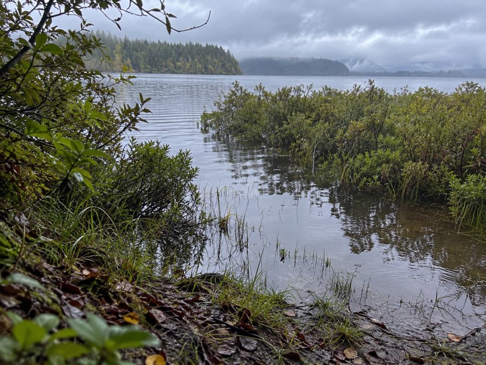 ModerateEricson's Bay Primitive Trail2 mi · 1.5 hr · 2.7 mi awayA remote, flat coast-to-lake walk on slick old boardwalk.
 ChallengingAllens Bay Route2.2 mi · 3 hr · 6.3 mi awayA rough lake-to-coast route to a remote shipwreck memorial.
 ModerateShi Shi Beach and Point of Arches Trail8 mi · 5 hr · 9.7 mi awayA muddy, steep descent opens onto tide pools and sea stacks.
 Ranger station · At the trailheadOzette Ranger StationA seasonal information stop before Ozette's coast walks.
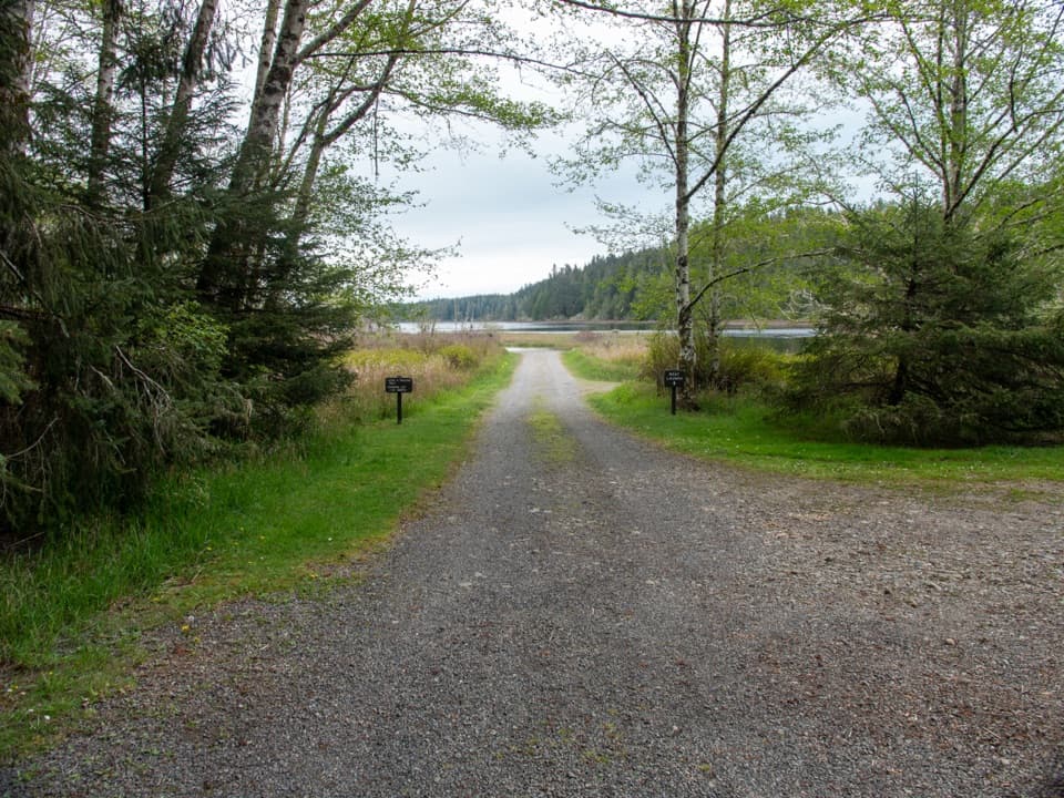 Sight · 0.1 mi awayOzette Boat LaunchA small-boat launch on a lake that can turn rough fast.
 Campground · 0.1 mi awayOzette CampgroundA small lakeside base for Ozette's coastal trailheads.
 Lodging · 0.4 mi awayThe Lost Resort at Lake OzetteA rustic base for overnight trips to Ozette's remote coast.
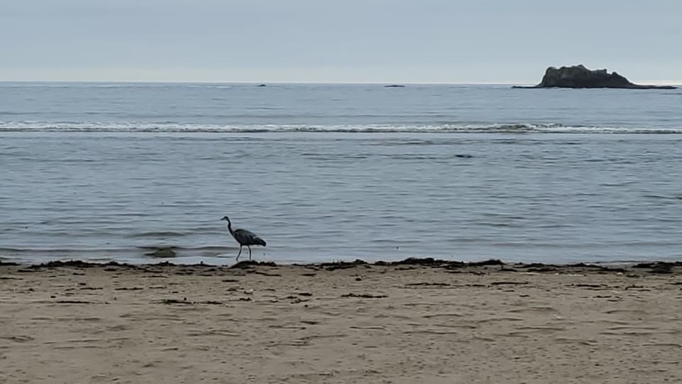 Beach · 2.8 mi awaySand PointTidepools and a sandy beach reward the long Ozette boardwalk.
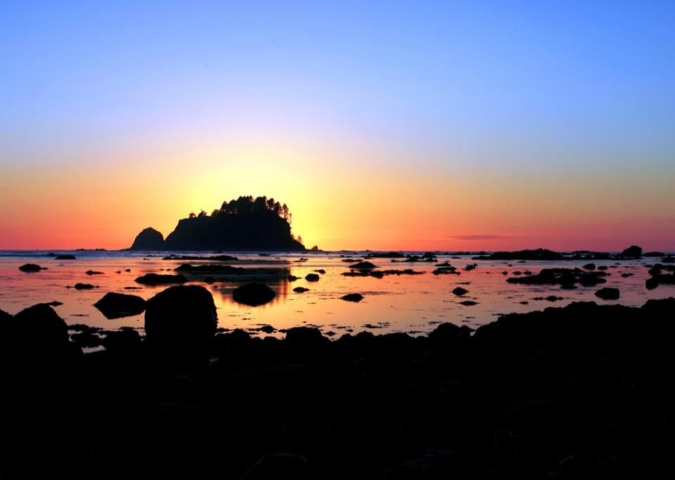 Beach · 3 mi awayCape AlavaA remote coast reached by boardwalk through prairie and forest.
 Sight · 6.6 mi awayPoint of ArchesEight miles of beach walking lead to a headland of sea stacks.
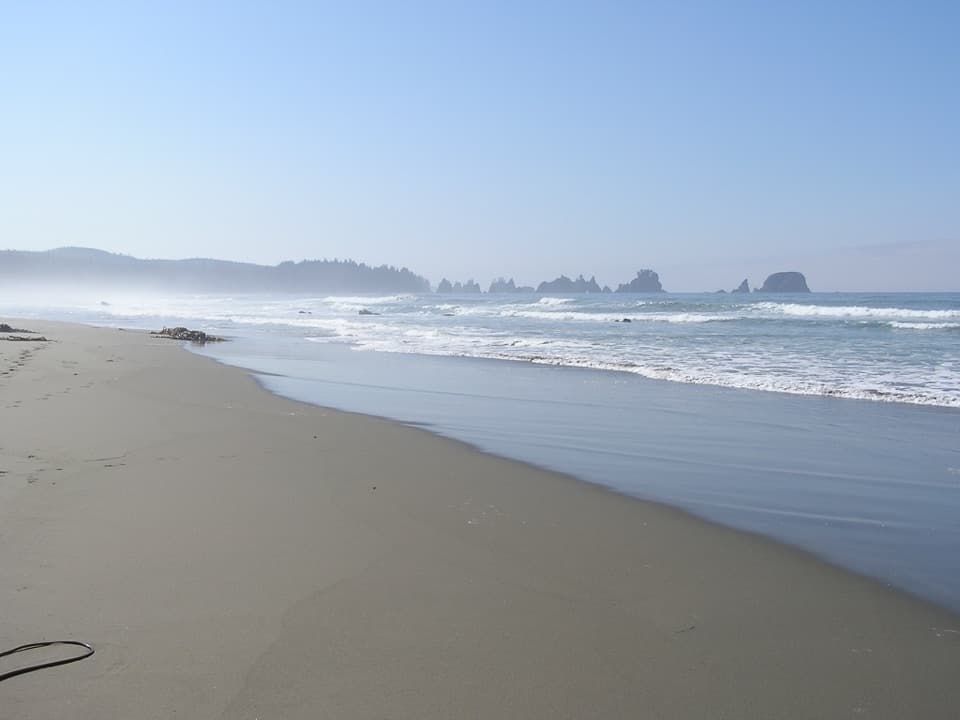 Beach · 8.5 mi awayShi Shi BeachA muddy coastal hike ends among tide pools and sea stacks.
Parkwolf’s Olympic ranking

The audio tour guide for the drive, plus offline maps, trails, and wildlife heatmaps for when the signal drops.




