Parking
The Sand Point start is reached from Ozette Ranger Station via the separate Sand Point Trail; the other end is Rialto Beach Parking Lot. This is point-to-point, so arrange a shuttle or pickup between the ends.
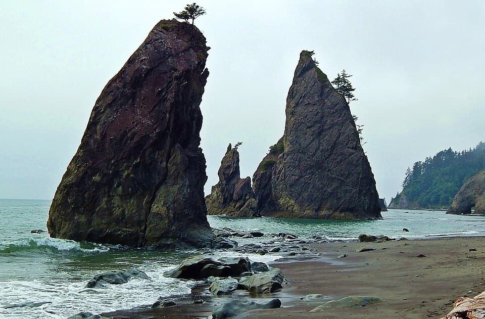
Olympic National Park, WA
Sea stacks and shipwreck memorials, with tides setting the pace
Overview
The North Coast Route from Sand Point camp area to Rialto Beach is a 17.3-mile, one-way backpack along Olympic's wild outer coast. It moves between open sand and cobble, slippery intertidal rock, and steep trails over the headlands that block beach travel at high water. If you want a quiet walk to Hole-in-the-Wall, this is far beyond it: the arch is only the route's last landmark before Rialto. Plan at least two days, and leave room for a third; low tides and the camps you can reserve decide how far you can safely go each day. The longer Ozette-to-Rialto itinerary is about 20 miles and includes the inland Sand Point approach, which this distance leaves out.
 Parkwolf’s verdictIs this the coast traverse for you?
Map & elevation
Plan your hike

The highest, rockiest slopes around here are a summer buffet for grizzly bears.
Olympic Tour Guide
Parkwolf is a GPS audio tour guide for Olympic National Park. As you drive, it chimes in with what’s ahead: hidden gems, upcoming stops, history, geology, and wildlife, right through your car’s speakers.
See the Olympic audio tourMore stories near here in the app
“Fantastic app with many points of information… It’s great to just turn on while you’re driving and it gives you an audio tour of the national Park. We love it!!!!”


Trail guide
Start at the coastal Sand Point camp area, reached from the Ozette Ranger Station by the separate Sand Point Trail. The coast route heads south past South Sand Point and Yellow Banks, then keeps alternating between beaches and headlands. Norwegian Memorial and Chilean Memorial are reminders of shipwrecks on this exposed shore. Their names are useful waypoints, but don't mistake one for a staffed stop or a safe place to wait out the tide.
The sand can make for easier miles, while rocky shelves, loose cobble and algae-slick patches slow the walking and make footing more demanding. At several headlands, the beach disappears and the route climbs inland on steep, sometimes exposed overlands before dropping back to the water. South of Cedar Creek, one of those overlands is especially exposed. Toward the Rialto end, Hole-in-the-Wall's arch and offshore sea stacks are a striking finish; reaching the arch is still only the final part of this much longer traverse.
A tide chart and a topographic map marked with the impassable points are essential planning tools. Some headlands cannot be crossed along the beach at higher water, and high surf can make a route unsafe even when the tide looks workable. Set your day's plan around safe crossing windows and turn back before a passage becomes marginal. Steep bypass trails are part of the route, not an easy detour, and ropes found on them are not maintained by the park. Check the current route conditions before committing; shoreline access and hazards can change.
This is wilderness backpacking. Overnight wilderness permits are required year-round, and park-approved bear canisters are required for food, garbage and scented items. Pets and wheeled devices are not allowed on the coastal route. Pit toilets are available at several named camps, but there is no food service along the shore. Coastal streams can be tea-stained, salty at high tide or contaminated, so treat water; sources at Sand Point and South Sand Point can dry later in summer. Carry enough water for the stretch ahead rather than counting on a stream at the next camp.
The 17.3-mile route ends at Rialto Beach Parking Lot, while the Sand Point start is reached on foot from Ozette Ranger Station. Arrange a vehicle shuttle or another pickup between the two ends before starting; the road approach to Ozette is not part of the beach-route mileage. The longer Ozette-to-Rialto itinerary, including the inland approach, is planned as a three-to-four-day trip. For this shorter coastal section, allow roughly 12 to 14 hours of walking, split across multiple days so tide windows and a safe campsite, rather than a clock, set the pace. The beach's sea stacks, tide pools and driftwood are worth lingering over, but don't let a photo stop take the time needed for the next headland.
Wildlife
 710 sightingsOlympic MarmotMost seen around 11 AMSighting map
 30 sightingsHumpback WhaleMost seen around 6 PMSighting map
 42 sightingsGrey WhaleMost seen around noonSighting map
 23 sightingsMountain LionMost seen around 8 PMSighting map
 71 sightingsMountain GoatMost seen around 7 AMSighting map
 306 sightingsBald EagleMost seen around 11 AMSighting map
Sighting maps show where each species has been reported across Olympic. Wildlife moves, so no sighting is guaranteed.
Keep exploring
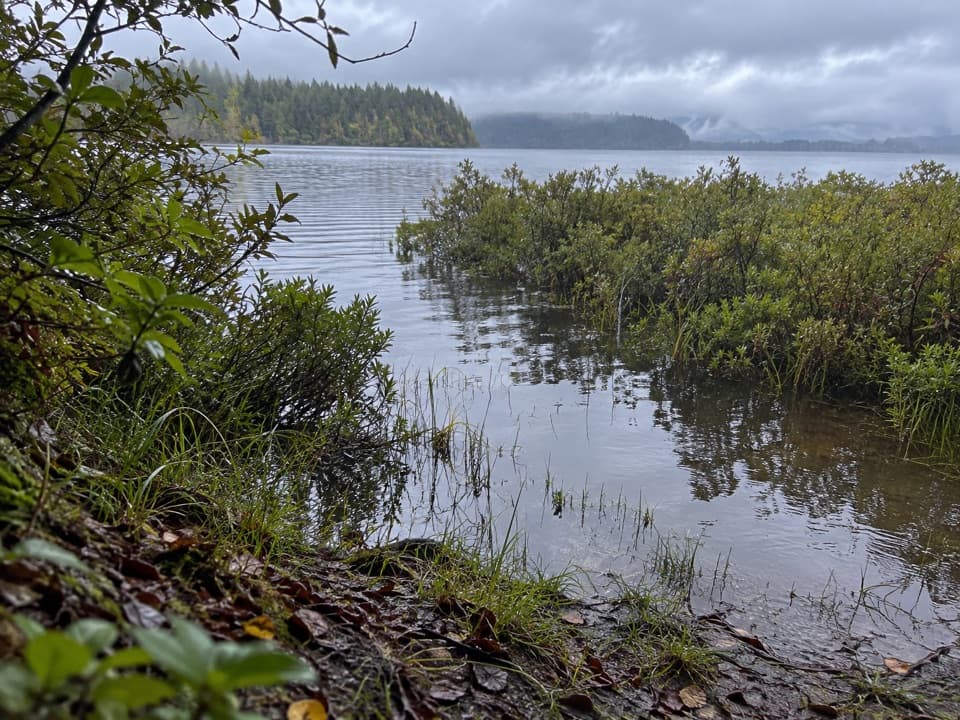 ModerateEricson's Bay Primitive Trail2 mi · 1.5 hr · 0.7 mi awayA remote, flat coast-to-lake walk on slick old boardwalk.
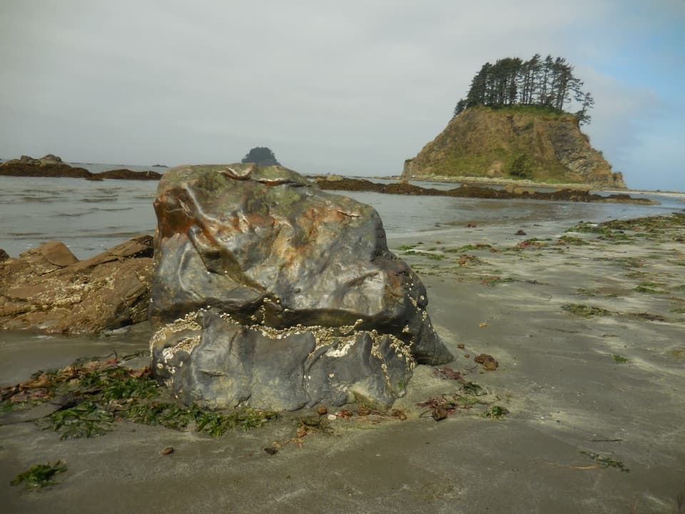 ModerateOzette Loop9.2 mi · 5 hr · 2.6 mi awayBoardwalks, tide pools, and a rugged coast on one full loop.
 ModerateCape Alava Trail6.6 mi · 4 hr · 2.6 mi awayBoardwalk, prairie, and rocky Pacific shore on a long out-and-back.
 ModerateSand Point Trail5.6 mi · 3.5 hr · 2.6 mi awayA mostly boardwalk walk to a wide Pacific beach.
 ChallengingAllens Bay Route2.2 mi · 3 hr · 4.9 mi awayA rough lake-to-coast route to a remote shipwreck memorial.
 ModerateShi Shi Beach and Point of Arches Trail8 mi · 5 hr · 11.7 mi awayA muddy, steep descent opens onto tide pools and sea stacks.
 ModerateRialto Beach to Hole-in-the-Wall Trail3.3 mi · 3 hr · 14.6 mi awayA low-tide walk to tidepools, sea stacks and a rock arch
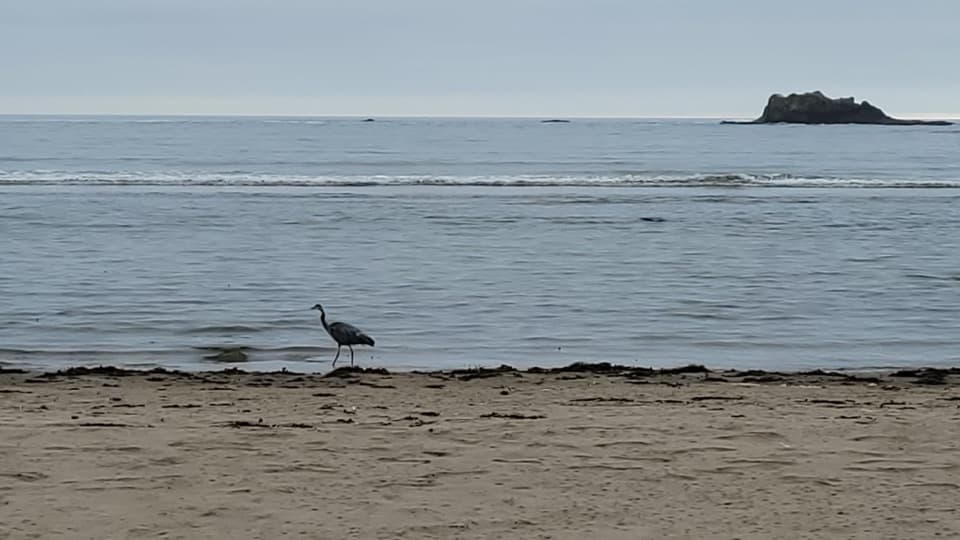 Beach · 0.2 mi awaySand PointTidepools and a sandy beach reward the long Ozette boardwalk.
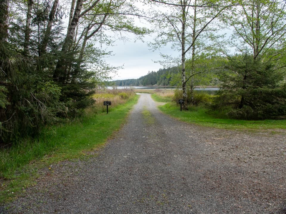 Sight · 2.5 mi awayOzette Boat LaunchA small-boat launch on a lake that can turn rough fast.
 Ranger station · 2.6 mi awayOzette Ranger StationA seasonal information stop before Ozette's coast walks.
 Campground · 2.6 mi awayOzette CampgroundA small lakeside base for Ozette's coastal trailheads.
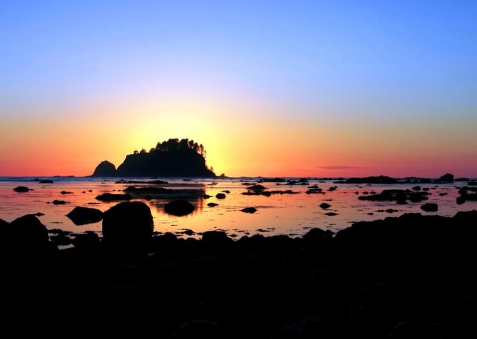 Beach · 2.8 mi awayCape AlavaA remote coast reached by boardwalk through prairie and forest.
 Lodging · 2.9 mi awayThe Lost Resort at Lake OzetteA rustic base for overnight trips to Ozette's remote coast.
 Sight · 8.3 mi awayPoint of ArchesEight miles of beach walking lead to a headland of sea stacks.
Parkwolf’s Olympic ranking
The audio tour guide for the drive, plus offline maps, trails, and wildlife heatmaps for when the signal drops.




