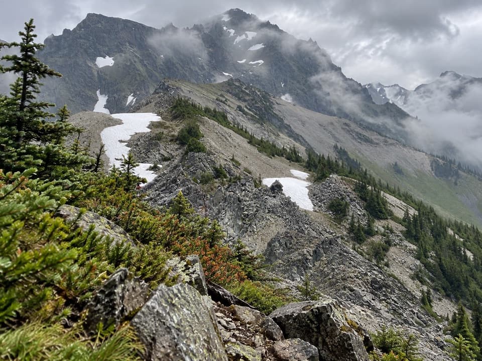
Upper Graywolf River Trail in Olympic National Park

Olympic National Park, WA

Upper Graywolf River Trail

A hard river-valley climb into the high country at Gray Wolf Pass.

Length
9.1mi
Time
8.5hr
Elev. change
3,891ft
Difficulty
Challenging
  • No dogs
  • High point 6,043 ft
  • #61 of 148 in Olympic
Parkwolf audio tour204 stories across Olympic’s roads

Overview

About Upper Graywolf River Trail

Why go

  • A long climb from river forest to a true high-country pass
  • Several wilderness camps break up the river-valley approach

Heads up

  • Steep, roughly 4,000-foot climb with no quick road exit
  • The route is point-to-point and needs a planned return or through-hike

Map & elevation

The route

Loading the Olympic map
Full map
Elevation2,152–6,043 ft
TrailheadThree Forks (Gray Wolf River and Cameron Creek junction)47.91523, -123.24207
Keep this map with you offline in the Parkwolf app

Plan your hike

Before you go

Parking

Use the Slab Camp/Deer Ridge trailhead on NF-2870 for the upper-route approach. The Forest Service directs hikers along Slab Camp Trail to a Gray Wolf River bridge, then southwest onto the upper trail; the small road pullout is reported to hold about three cars. The saved line starts farther in at Three Forks, so allow for the separate walk-in and arrange your endpoint.

Safety

Hard, sustained climbing to about 6,200 feet. Snow can cover the high trail in any season and may require map-and-compass navigation. Treat all stream water. Overnight camping in the park requires a wilderness permit and approved animal-resistant food storage; campfires are prohibited above 3,500 feet. Pets are prohibited on park trails.

6 active Olympic alerts

  • CautionUS 101 Hoh River Bridge reduced to one laneUS 101 at the Hoh River Bridge is restricted to one lane of alternating traffic; obey the signals and 25 mph speed limit.Official details
  • ClosureStaircase wilderness trails and campsites remain closedWilderness trails and campsites around Staircase remain closed during recovery from the Bear Gulch Fire; the developed Staircase area, including the Rapids Loop, campground, and ranger station, is…Official details
See all 6 alerts
A park ranger sits on a dash-mounted phone, talking, as Parkwolf’s Tour Guide plays “Army Cutworm Moths: A Grizzly Bear Buffet” on Grand Loop Road below Dunraven Pass in Yellowstone
Parkwolf Tour GuideThe highest, rockiest slopes around here are a summer buffet for grizzly bears.

Olympic Tour Guide

Your drive to Upper Graywolf River Trail, narrated.

Parkwolf is a GPS audio tour guide for Olympic National Park. As you drive, it chimes in with what’s ahead: hidden gems, upcoming stops, history, geology, and wildlife, right through your car’s speakers.

See the Olympic audio tour

More stories near here in the app

  • Deer Park: Camping Above the Lowlands
  • Blue Mountain: The Rain Shadow Loop
  • How Ice Splits Rock
  • How a Sea Star Eats a Mussel
  • 204 audio storiesacross Olympic’s roads, triggered by GPS as you drive
  • Wildlife heatmapsfor Olympic Marmot, Humpback Whale, Grey Whale, and 13 more
  • Works offlinemaps, 148 trails, 94 places, and audio download before you lose signal
  • CarPlay readysimple controls built for the drive
★★★★★
“Fantastic app with many points of information… It’s great to just turn on while you’re driving and it gives you an audio tour of the national Park. We love it!!!!”
JMJamesApp Store review
Download Parkwolf on the App StoreGet Parkwolf on Google Play

4.7 from 8,600+ ratings

Trail guide

Hiking Upper Graywolf River Trail

Is this your route?The Upper Graywolf River Trail is a remote point-to-point backcountry route from Three Forks to…

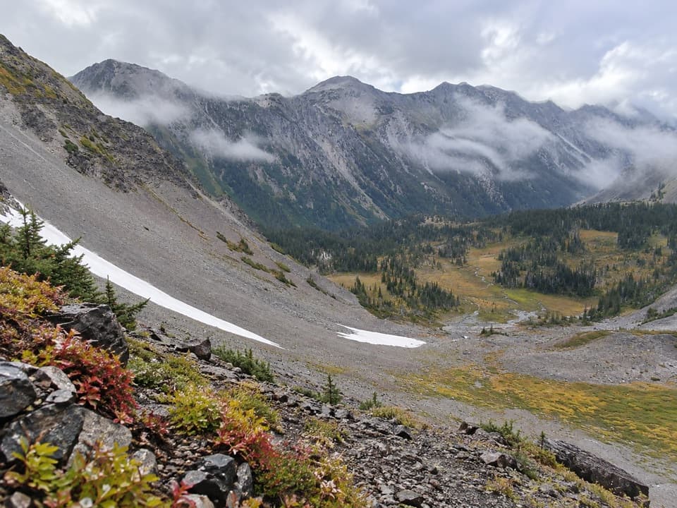
The Upper Graywolf River Trail is a remote point-to-point backcountry route from Three Forks to Gray Wolf Pass, climbing from a forested river valley into high subalpine country. The mapped segment is about 9.1 miles one way and gains roughly 4,000 feet; allow 8 to 10 hours for this stretch alone. It is a hard, full-day hike, not a short riverside walk, and the route continues past the pass rather than looping back to the road.

A published 11.5-mile figure does not identify its endpoints. This entry follows the Three Forks-to-pass segment: the mapped line is 8.96 miles, and its two described upper-route sections add to about 9.1 miles. The lower approach from the road is separate and adds more walking.

From river to passStart at Three Forks, where the Gray Wolf River and Cameron Creek routes meet, then follow the…

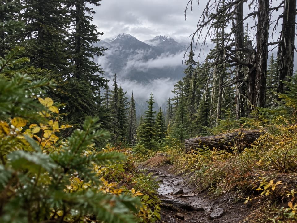
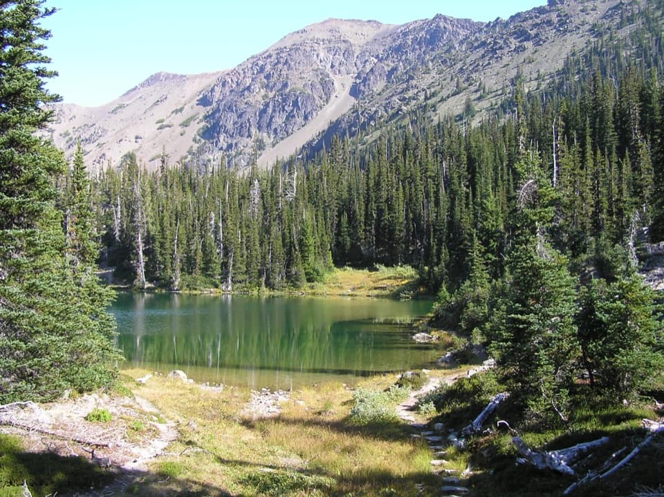
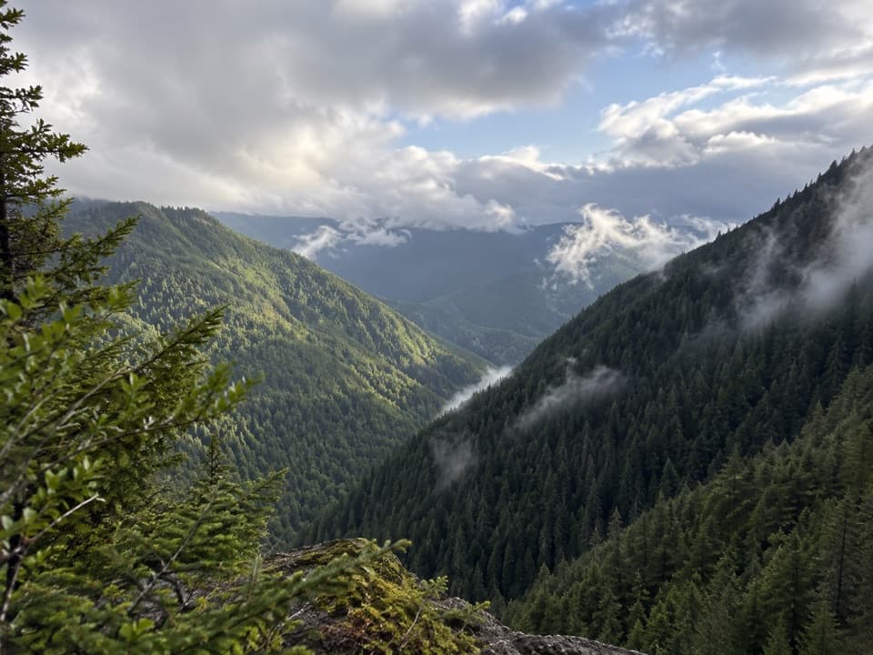
Start at Three Forks, where the Gray Wolf River and Cameron Creek routes meet, then follow the Gray Wolf upstream. The valley passes several wilderness camps, including Gray Wolf Camp, Camp Ellis, and Falls Camp. The tread is maintained, but the route gets steeper as it leaves the river corridor and climbs into the Upper Gray Wolf valley.

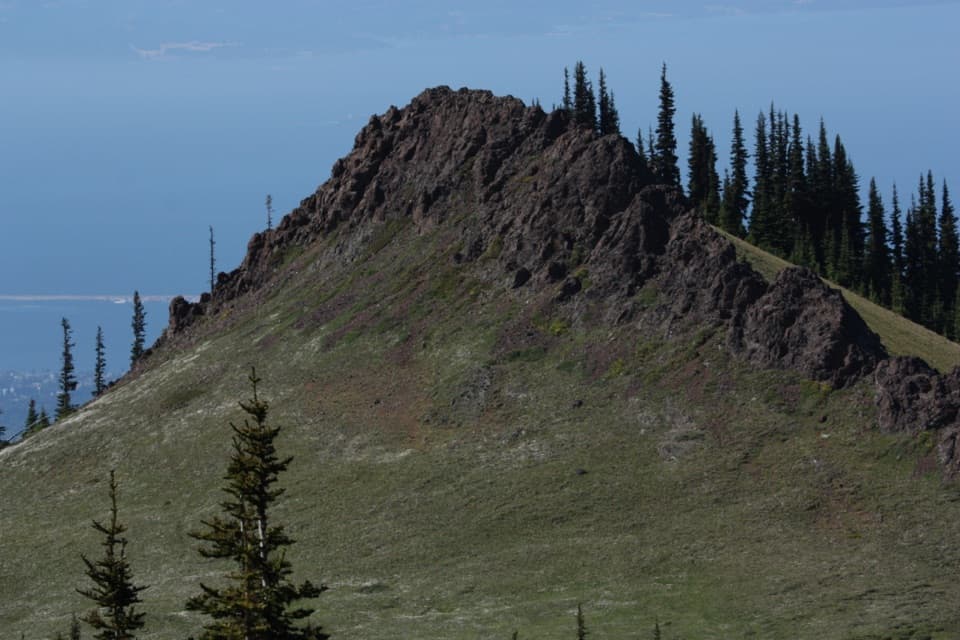
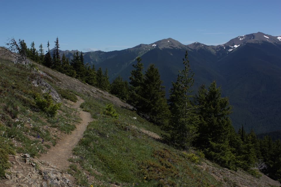
The upper climb runs through forest toward subalpine meadow. After the turn into the pass approach, the final 3.8 miles climb steadily to Gray Wolf Pass. The pass is a high rocky saddle; the walk rewards people who want a long wilderness climb more than anyone looking for a quick viewpoint.

Access and distanceThe saved line begins at Three Forks, several miles beyond the road access.

The saved line begins at Three Forks, several miles beyond the road access. Forest Service directions use the Slab Camp/Deer Ridge trailhead on NF-2870, then the Slab Camp trail and a Gray Wolf River crossing to reach the upper route. Plan that approach separately and arrange your finish: Gray Wolf Pass is a through-route junction, not a parking area. A longer route continues down toward the Dosewallips drainage.

Snow, water, and backcountry rulesSnow can cover the high reaches in any season and hide the tread; carry a map and compass and…

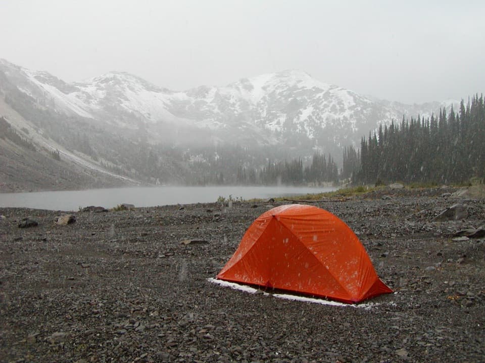
Snow can cover the high reaches in any season and hide the tread; carry a map and compass and know how to navigate without a visible trail. Gray Wolf River and nearby streams are the water sources, so treat water before drinking. There is no food service. Graywolf Camp is the only campsite on this corridor listed with a toilet; elsewhere, pack out toilet paper and follow wilderness waste rules.

Overnight stays in Olympic National Park require a wilderness permit, and all food, garbage, and scented items must be secured in an approved animal-resistant container. Campfires are prohibited above 3,500 feet. Pets are not allowed on this park trail.

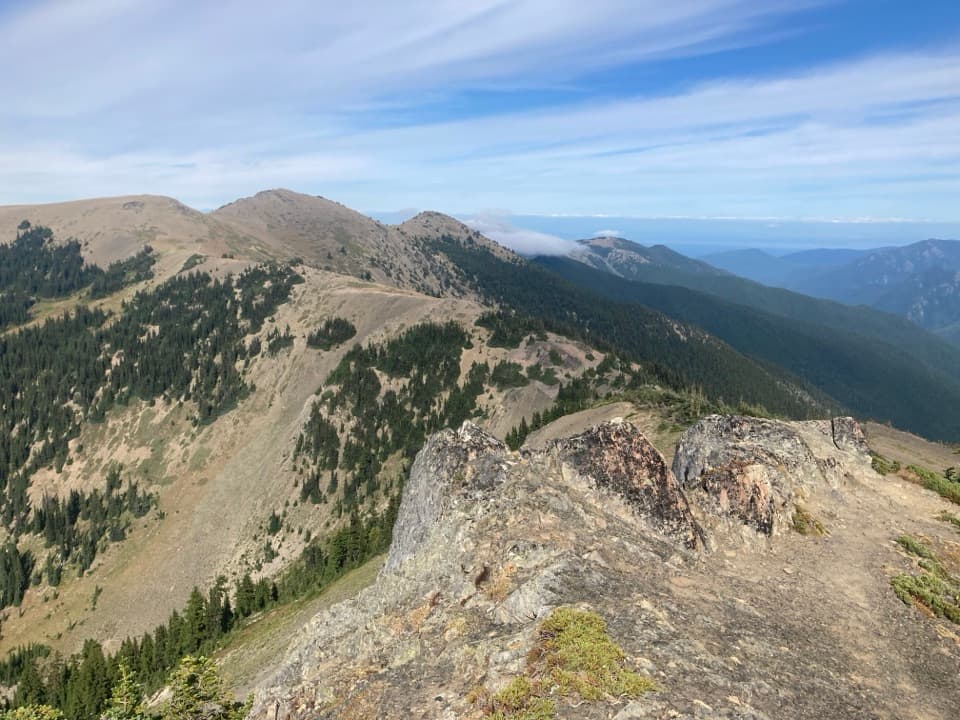
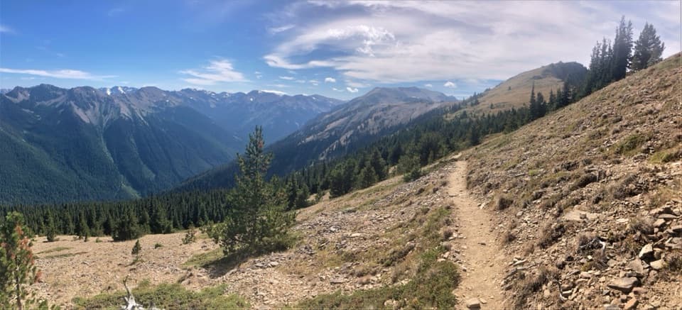
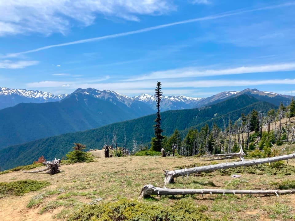
At Gray Wolf PassThe forest gives way to open subalpine terrain as the trail reaches the pass near 6,200 feet.

The forest gives way to open subalpine terrain as the trail reaches the pass near 6,200 feet. For a photo, keep the rocky saddle and a little foreground tread in the frame so the snowy ridgeline has scale. The view is the payoff; the climb is the price.

Wildlife

Wildlife in Olympic

All Olympic wildlife maps

Sighting maps show where each species has been reported across Olympic. Wildlife moves, so no sighting is guaranteed.

Keep exploring

Near Upper Graywolf River Trail

See it all on the map

Trails that start nearby

Places near the trailhead

Parkwolf’s Olympic ranking

Top-rated trails in Olympic

All 148 trails
  1. 1Hall of Mosses TrailEasy · 0.8 mi
  2. 2Hurricane Hill TrailModerate · 3.3 mi
  3. 3Sol Duc Falls Nature TrailEasy · 1.6 mi
  4. 4High Divide Loop (Seven Lakes Basin)Challenging · 19 mi
  5. 5Hoh River TrailChallenging · 34.8 mi
  6. 6Shi Shi Beach and Point of Arches TrailModerate · 8 mi

Take Parkwolf to Olympic.

The audio tour guide for the drive, plus offline maps, trails, and wildlife heatmaps for when the signal drops.

4.7 from 8,600+ ratings

Download Parkwolf on the App StoreGet Parkwolf on Google Play