Challenging

Constance Pass Trail

Long, brushy climb to knockout Olympic panoramas and Home Lake
Constance Pass Trail, Olympic National Park
Distance27 mi
Typical time14.3 hr
DifficultyChallenging
PetsNot allowed

Why go

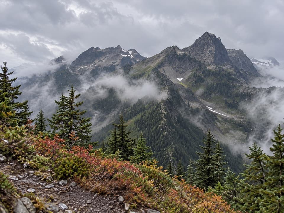
Constance Pass is classic Olympic high country—rugged ridgelines, subalpine meadows, and big, all-direction views once you break out of the trees. It connects the Dosewallips and Dungeness watersheds and passes near pretty Home Lake, a popular alpine camp. It’s tougher and wilder than nearby headliners, and that’s the appeal.

The hike, distances, and feel

From the Dosewallips Road side (near Brinnon), it’s a challenging 27.0-mile out-and-back that many strong hikers spread over multiple days (average completion around 14+ hours). Expect steep grades and a rough tread, with rocky, occasionally exposed sections approaching the pass. From the north (Upper Dungeness side), the trail climbs past Boulder Camp/Boulder Shelter and then spends roughly 3.7 miles in open country heading toward Home Lake—views just keep expanding as you go. Past the Buckhorn Wilderness–Olympic National Park boundary, the path feels brushier and less maintained.

This route is often used as part of larger traverses in the eastern Olympics, linking with Marmot Pass and the Dosewallips corridor for big, multi-day loops. If you’re simply chasing sustained alpine views and a serene camp, Home Lake near the pass is a worthy target.

Scenery, geology, and wildlife

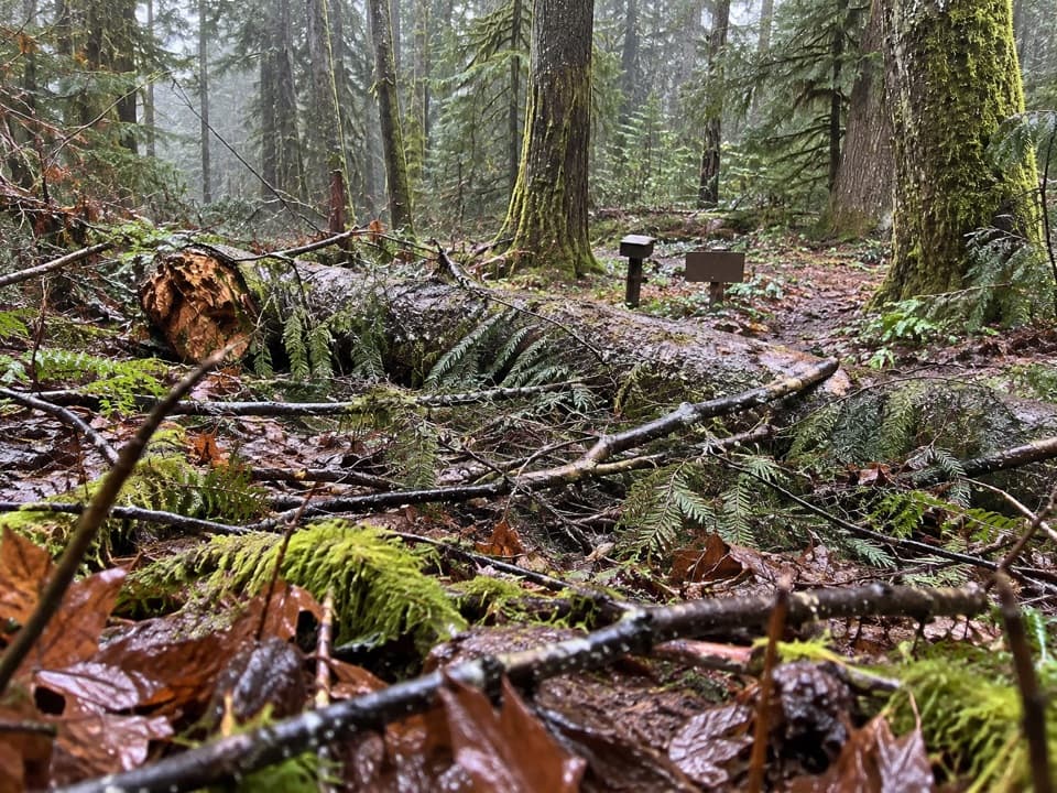
You’ll move from montane forest into subalpine meadows—wildflowers pop in mid-summer—and then onto open slopes and high ridges with panoramas of rugged peaks and glaciated summits. Along the Dosewallips approach near Constance Creek, look for massive boulders left by past alpine ice. Wildlife sightings may include marmots, deer, and the occasional mountain goat in the high meadows.

Best time to hike

Early July through October is the reliable window. Snow lingers well into summer near the pass, which can obscure the route early season. Wildflowers peak July–August; September can bring vivid fall color. Aim for early starts for cooler temps and steadier footing on the climb.

Camping, permits, and regulations

Dispersed camping is allowed on durable surfaces at least 200 feet from water; Home Lake is a classic camp near the pass. A wilderness permit is required for overnight trips. Bear canisters are required in the subalpine (trees suitable for hangs are scarce). There are no toilets; pack a trowel and follow Leave No Trace (bury waste 6–8 inches deep, 200 feet from water). Treat all water. Campfires are prohibited above 3,500 feet.

Navigation, junctions, and tips

Carry a good map and compass; early-season snow can hide the trail. On the north approach, don’t get lured by the unmarked spur to Marmot Pass just before Boulder Shelter (stay on the main trail for Constance Pass/Home Lake). A signed spur to Charlia Lakes departs shortly after Boulder Shelter. Inside the park boundary, plan for slower travel due to brush. Weather turns fast at elevation—pack layers, a shell, and a solid contingency plan.

Is it for you?

If you want a big, committing outing with true wilderness character and best-in-region views, it’s absolutely worth it. If you prefer a shorter, more maintained path to a similar high-country payoff, consider Marmot Pass instead—then come back for Constance when you’re ready to go bigger.

Pros

  • Sustained above-treeline views for miles on the north approach.
  • Home Lake offers a scenic high camp with easy water nearby.

Cons

  • Brushy, less-maintained tread once inside the park on the north side.
  • Snow lingers near the pass; early-season navigation can be tricky.
  • Dosewallips out-and-back is a long commitment for a day trip.

Parking

Park at Dosewallips Road access near Brinnon for the long south/east approach, or at the Upper Dungeness Trailhead (Buckhorn Wilderness) for the north approach. Choose your entry based on itinerary.

Caution

Expect brushy, rough tread inside the park, lingering snowfields into summer, rocky exposed sections near the pass, mandatory bear canisters in subalpine areas, and no campfires above 3,500 feet.

The Parkwolf tour guide sitting on a phone mounted in a car

Parkwolf Tour Guide

Like a tour guide in your car.

Bring Olympic trail research into the car, with offline maps and stories that play as you drive.Download Parkwolf on the App Store