Parking
Use the Dosewallips Road Trailhead at the current vehicle road end. The small roadside area can fill, with overflow along the road; no toilet or services are available.

Olympic National Park, WA
An old-road walk to two falls in a quiet river canyon.
Overview
Map & elevation
Plan your hike

The highest, rockiest slopes around here are a summer buffet for grizzly bears.
Olympic Tour Guide
Parkwolf is a GPS audio tour guide for Olympic National Park. As you drive, it chimes in with what’s ahead: hidden gems, upcoming stops, history, geology, and wildlife, right through your car’s speakers.
See the Olympic audio tour“Fantastic app with many points of information… It’s great to just turn on while you’re driving and it gives you an audio tour of the national Park. We love it!!!!”


Trail guide
The Dosewallips River Road Trail is a 13-mile out-and-back along a closed roadbed, from roadside parking at the current vehicle road end to the Dosewallips campground and decommissioned ranger station. It is a long valley walk rather than a short waterfall stroll: the old road climbs gently overall, with two waterfalls, a steeper stretch above Elkhorn, and a fire-opened view of the ridges. Allow about seven hours with stops.
If you want a shorter day, turn around at Elkhorn Campground. The long road walk is the point here; the bigger Main Fork and West Fork hikes continue beyond the ranger station and are separate backcountry routes.
About a mile in, a major washout breaks the old road. A forested switchback bypass climbs roughly 100 feet; hikers may use a lower path by the river only when it is clear and safe. The turn back onto the bypass can be easy to miss on the return. Check current park conditions before setting out, and do not improvise a river crossing.
The walk starts across a gravelly streambed. Water can run high early in the season, so be ready to turn back if the crossing is not safe.
Beyond the washout, the canyon narrows and the route settles into cool, damp forest. Moss coats rocks and maple limbs, with ferns and vanilla leaf along the old road. The Dosewallips is often heard through the trees more than seen. Stony Brook Falls appears beside the road in the first few miles; the Elkhorn junction is a useful shorter turnaround.
Past Elkhorn, the grade gets noticeably steeper, gaining close to 400 feet in about a mile. The roadbed remains broad, but do not mistake the steep Lake Constance route at Constance Creek for part of this hike.
Around mile four, the route opens into the burn left by the 2009 Constance Fire. Blackened trunks frame views toward forested ridges and high peaks. Near mile 5.3, Dosewallips Falls squeezes through a narrow rocky chasm among large fallen trunks; look for the old rock-filled retaining cages along the steep road cut nearby.
The old campground and ranger station mark the road’s end at roughly 6½ miles from the trailhead. The road crosses from Forest Service land into Olympic National Park along the way, so the first stretch is outside the park boundary even though this is a park approach hike.
There is no food, drinking water, toilet or other service at the road-end parking. Dogs are allowed on this road walk to the ranger station, but not beyond the wilderness boundary; overnight trips beyond it require a wilderness permit and bear canister.
The road was built by the Civilian Conservation Corps in the 1930s as part of a proposed route across the Olympics. Creation of the park in 1938 ended the road project, and a 2002 flood cut off vehicle access. Near the washout, old springboard notches in stumps recall how loggers once stood on planks to saw large trees.
Wildlife
 710 sightingsOlympic MarmotMost seen around 11 AMSighting map
 30 sightingsHumpback WhaleMost seen around 6 PMSighting map
 42 sightingsGrey WhaleMost seen around noonSighting map
 23 sightingsMountain LionMost seen around 8 PMSighting map
 71 sightingsMountain GoatMost seen around 7 AMSighting map
 306 sightingsBald EagleMost seen around 11 AMSighting map
Sighting maps show where each species has been reported across Olympic. Wildlife moves, so no sighting is guaranteed.
Keep exploring
 ChallengingDuckabush River Trail to Five-Mile Camp10.6 mi · 6 hr · 3.9 mi awayA 10.6-mile out-and-back climbs Big Hump to Five-Mile Camp.
 ChallengingMain Fork Dosewallips River Trail29.8 mi · 20 hr · 5.3 mi awayA river valley opens into meadows below a high pass.
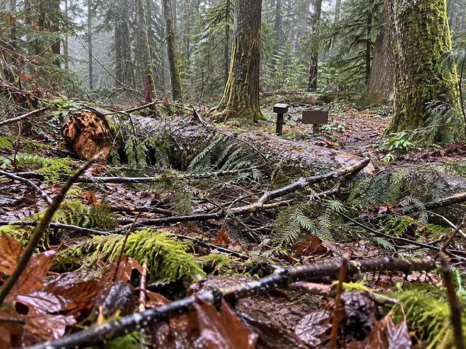 EasyDosewallips Terrace Loop Trail1.2 mi · 45 min · 5.3 mi awayAn easy 1.2-mile forest loop above the Dosewallips River.
 ChallengingConstance Pass Trail10.7 mi · 10 hr · 5.5 mi awayA demanding one-way traverse over Constance Pass to Home Lake.
 ChallengingWest Fork Dosewallips River Trail18.2 mi · 12 hr · 6.7 mi awayA long river-valley climb to Anderson Pass and high meadows.
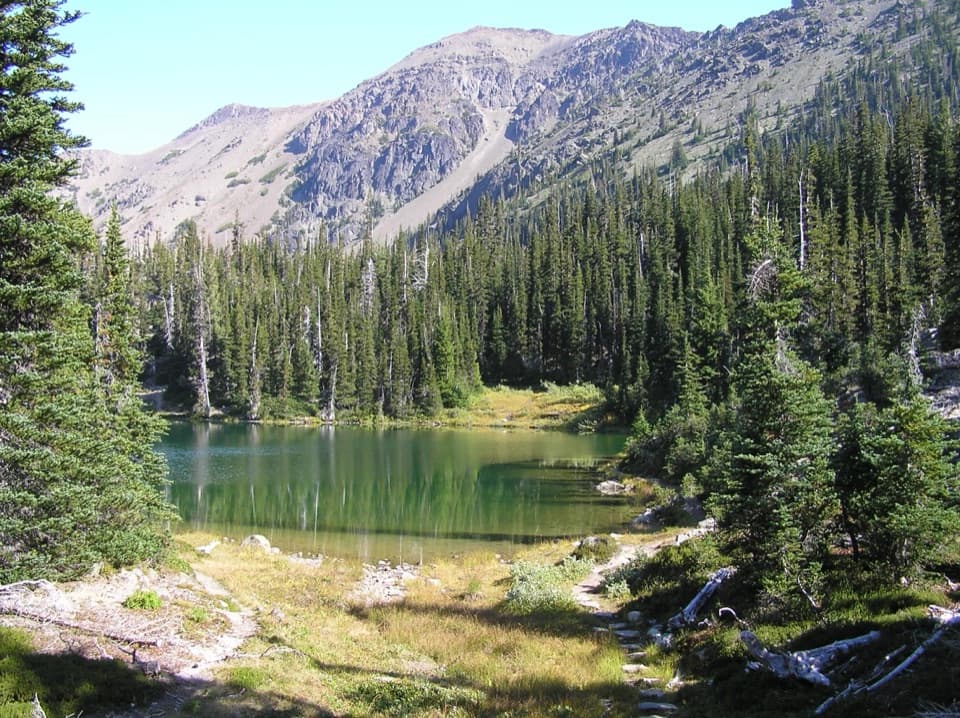 ChallengingRoyal Basin Trail16 mi · 8.5 hr · 10.2 mi awayMake the long climb for a lake, Shelter Rock, and alpine tarns.
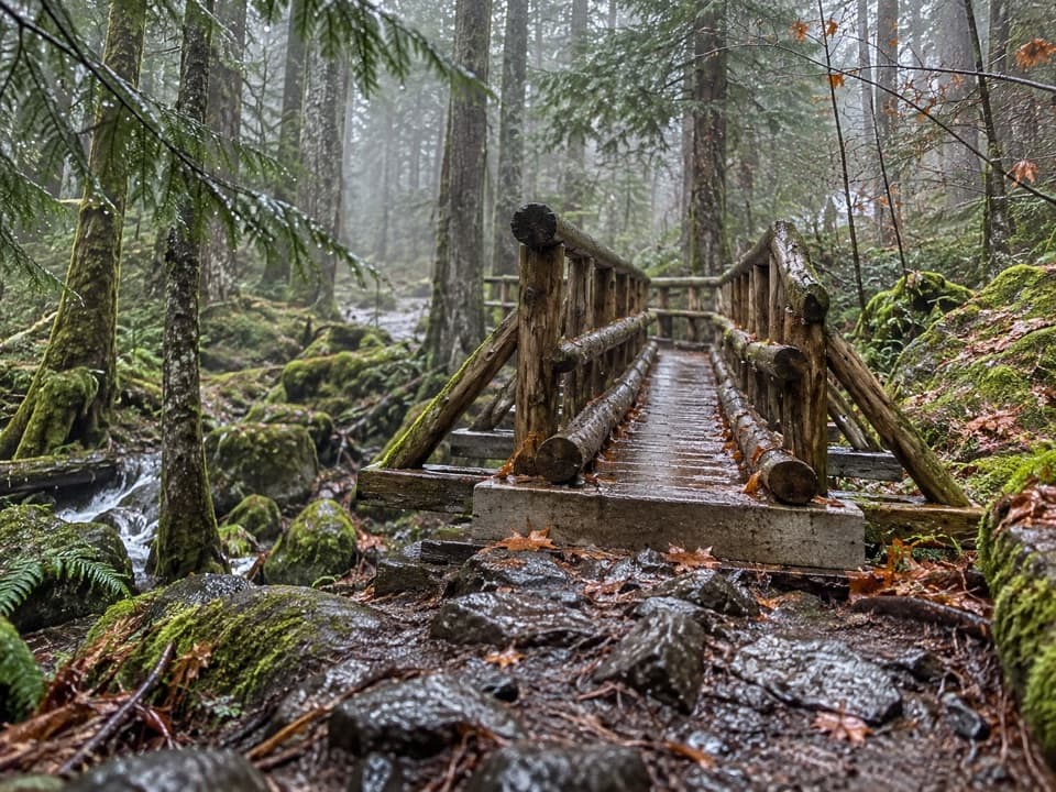 ChallengingUpper Lena Lake Trail14 mi · 10 hr · 10.9 mi awayA long climb pays off at a green lake under alpine peaks.
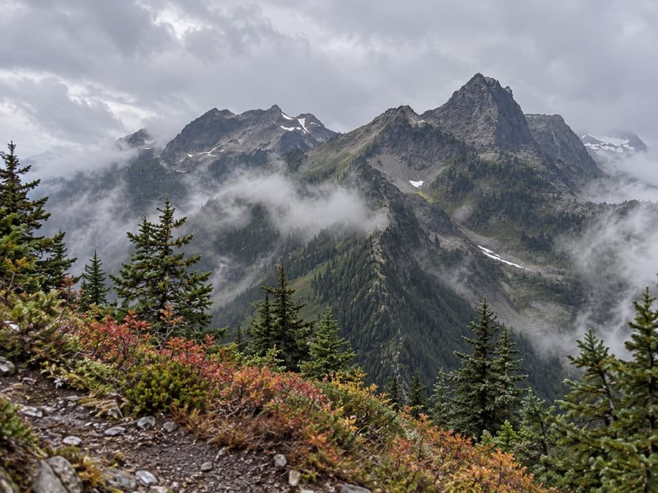 ChallengingLaCrosse Pass Trail6.4 mi · 5.5 hr · 12.6 mi awayA steep pass between two remote Olympic river valleys.
Parkwolf’s Olympic ranking

The audio tour guide for the drive, plus offline maps, trails, and wildlife heatmaps for when the signal drops.





