Parking
Use the Dosewallips Road washout access. The former Dosewallips Camp is about 6.5 miles farther on foot; there is no drive-up access to the loop.
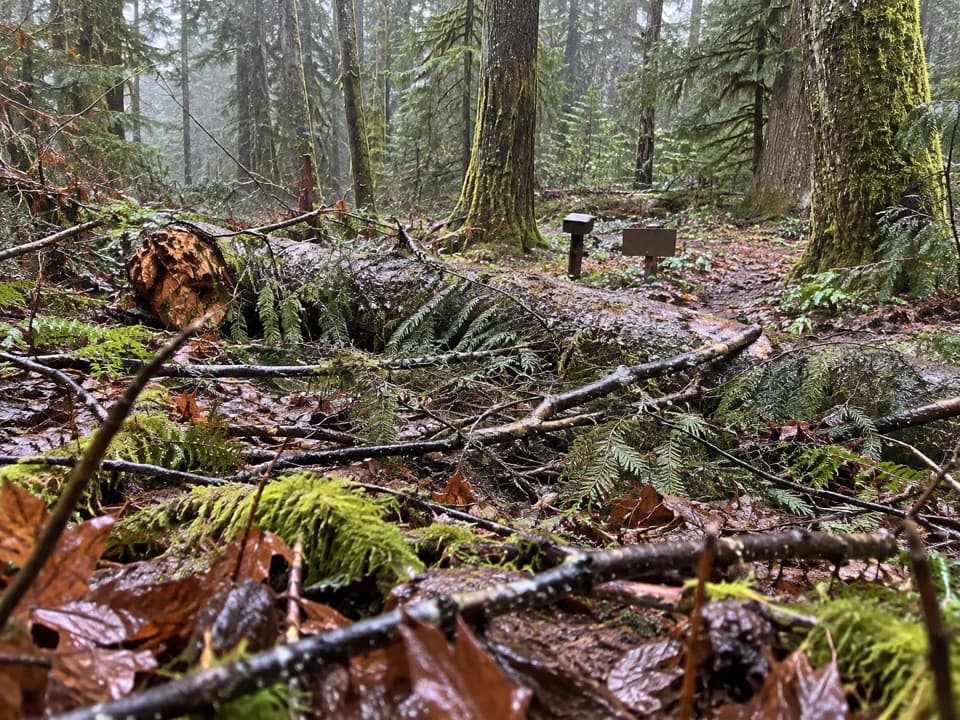
Olympic National Park, WA
An easy 1.2-mile forest loop above the Dosewallips River.
Overview
Map & elevation
Plan your hike

The highest, rockiest slopes around here are a summer buffet for grizzly bears.
Olympic Tour Guide
Parkwolf is a GPS audio tour guide for Olympic National Park. As you drive, it chimes in with what’s ahead: hidden gems, upcoming stops, history, geology, and wildlife, right through your car’s speakers.
See the Olympic audio tour“Fantastic app with many points of information… It’s great to just turn on while you’re driving and it gives you an audio tour of the national Park. We love it!!!!”


Trail guide
Dosewallips Terrace Loop is an easy 1.2-mile circuit through forested terraces above the Dosewallips River, with roughly 200 feet of climbing. Follow the short Dosewallips River Trail approach to the signed Terrace footpath, then circle back on a river-trail segment. The mapped line is about 1.14 miles; published descriptions range from 1.1 to 1.2 miles and from 100 to 200 feet of gain, so treat the figures as approximate. It is a worthwhile add-on if you are already at Dosewallips Camp, but the access makes it a poor choice for a quick stop.
The loop is near the former Dosewallips Camp. Dosewallips Road is washed out about 6.5 miles from camp; from the road end, walk the abandoned road in and out, about 13 miles before you start the loop. That makes the full outing roughly 14 miles, even though the signed loop itself is only about 1.2. There are no services at Dosewallips.
Once at camp, allow about 45 minutes for the loop. Pets and bicycles are prohibited on park trails, including this one, though they are allowed on the washed-out road access. Published directions do not describe the footing or crossings in detail; check the signed junction where the Terrace footpath meets the river route.
Wildlife
 710 sightingsOlympic MarmotMost seen around 11 AMSighting map
 30 sightingsHumpback WhaleMost seen around 6 PMSighting map
 42 sightingsGrey WhaleMost seen around noonSighting map
 23 sightingsMountain LionMost seen around 8 PMSighting map
 71 sightingsMountain GoatMost seen around 7 AMSighting map
 306 sightingsBald EagleMost seen around 11 AMSighting map
Sighting maps show where each species has been reported across Olympic. Wildlife moves, so no sighting is guaranteed.
Keep exploring
 ChallengingMain Fork Dosewallips River Trail29.8 mi · 20 hr · At the trailheadA river valley opens into meadows below a high pass.
 ChallengingConstance Pass Trail10.7 mi · 10 hr · 0.1 mi awayA demanding one-way traverse over Constance Pass to Home Lake.
 ChallengingWest Fork Dosewallips River Trail18.2 mi · 12 hr · 1.4 mi awayA long river-valley climb to Anderson Pass and high meadows.
 ModerateDosewallips River Road Trail13 mi · 7 hr · 5.3 mi awayAn old-road walk to two falls in a quiet river canyon.
 ChallengingDuckabush River Trail to Five-Mile Camp10.6 mi · 6 hr · 6.8 mi awayA 10.6-mile out-and-back climbs Big Hump to Five-Mile Camp.
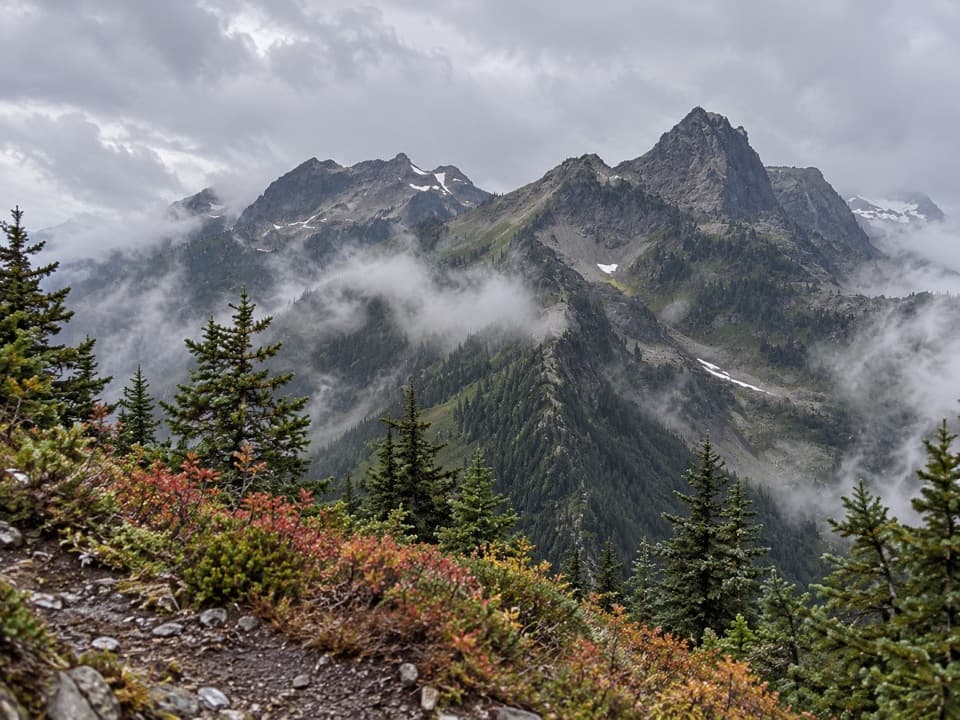 ChallengingLaCrosse Pass Trail6.4 mi · 5.5 hr · 7.4 mi awayA steep pass between two remote Olympic river valleys.
 ChallengingAnderson Moraine Trail1.6 mi · 2 hr · 8.1 mi awayA steep alpine spur above a glacier-fed lake below Mount Anderson.
 ChallengingO'Neil Pass Trail12 mi · 10 hr · 9.3 mi awayO'Neil Pass links Upper Duckabush with East Fork Quinault.
Parkwolf’s Olympic ranking

The audio tour guide for the drive, plus offline maps, trails, and wildlife heatmaps for when the signal drops.





