Duckabush River Trail to Five-Mile Camp in Olympic National Park

Olympic National Park, WA

Duckabush River Trail to Five-Mile Camp

A 10.6-mile out-and-back climbs Big Hump to Five-Mile Camp.

Length
10.6mi
Time
6hr
Elev. change
1,316ft
Difficulty
Challenging
  • Dogs allowed
  • High point 1,726 ft
  • #49 of 148 in Olympic
Parkwolf audio tour204 stories across Olympic’s roads

Overview

About Duckabush River Trail to Five-Mile Camp

Why go

  • River rests and a mossy cedar grove break up the climb.
  • Snack Rock opens a broad valley view before the camp turnaround.

Heads up

  • Big Hump is steep and loose, and the drop to camp means climbing the hump again on the return.

Map & elevation

The route

Loading the Olympic map
Full map
Elevation411–1,726 ft
TrailheadDuckabush Trailhead47.68516, -123.03968
Keep this map with you offline in the Parkwolf app

Plan your hike

Before you go

Parking

From Quilcene, drive south on US 101 about 15 miles to Duckabush Recreation Area. Turn west onto Duckabush River Road (Forest Service Road 2510) and continue about six miles to Forest Service Road 2510-060 and Duckabush Trailhead. The trailhead has a vault toilet but no potable water. A day-use recreation pass is required.

Safety

Big Hump is steep with loose rock. Dead standing trees and unstable surfaces remain in the 2011 burn area. Pets are prohibited inside Olympic National Park, which the longer trail reaches about 6.7 miles from the trailhead; an overnight trip entering the park requires a wilderness permit.

6 active Olympic alerts

  • CautionUS 101 Hoh River Bridge reduced to one laneUS 101 at the Hoh River Bridge is restricted to one lane of alternating traffic; obey the signals and 25 mph speed limit.Official details
  • ClosureStaircase wilderness trails and campsites remain closedWilderness trails and campsites around Staircase remain closed during recovery from the Bear Gulch Fire; the developed Staircase area, including the Rapids Loop, campground, and ranger station, is…Official details
See all 6 alerts
A park ranger sits on a dash-mounted phone, talking, as Parkwolf’s Tour Guide plays “Army Cutworm Moths: A Grizzly Bear Buffet” on Grand Loop Road below Dunraven Pass in Yellowstone
Parkwolf Tour GuideThe highest, rockiest slopes around here are a summer buffet for grizzly bears.

Olympic Tour Guide

Your drive to Duckabush River Trail to Five-Mile Camp, narrated.

Parkwolf is a GPS audio tour guide for Olympic National Park. As you drive, it chimes in with what’s ahead: hidden gems, upcoming stops, history, geology, and wildlife, right through your car’s speakers.

See the Olympic audio tour
  • 204 audio storiesacross Olympic’s roads, triggered by GPS as you drive
  • Wildlife heatmapsfor Olympic Marmot, Humpback Whale, Grey Whale, and 13 more
  • Works offlinemaps, 148 trails, 94 places, and audio download before you lose signal
  • CarPlay readysimple controls built for the drive
★★★★★
“Fantastic app with many points of information… It’s great to just turn on while you’re driving and it gives you an audio tour of the national Park. We love it!!!!”
JMJamesApp Store review
Download Parkwolf on the App StoreGet Parkwolf on Google Play

4.7 from 8,600+ ratings

Trail guide

Hiking Duckabush River Trail to Five-Mile Camp

A hard day to Five-Mile CampThe Duckabush River Trail to Five-Mile Camp is a hard, 10.

The Duckabush River Trail to Five-Mile Camp is a hard, 10.6-mile out-and-back through river forest and over Big Hump, with about 2,300 feet of climbing. The usual turnaround is Five-Mile Camp, roughly five miles from the trailhead. Budget about six hours. The mapped route reaches the camp after 4.7 miles, while trail descriptions put it around 5 to 5.3 miles in; treat mileage along this line as approximate. The camp marker sits close to the mapped tread, but the reported distances do not match exactly.

The first milesThe climb starts gently on a broad, rocky old roadbed, with a creek alongside and bigleaf…

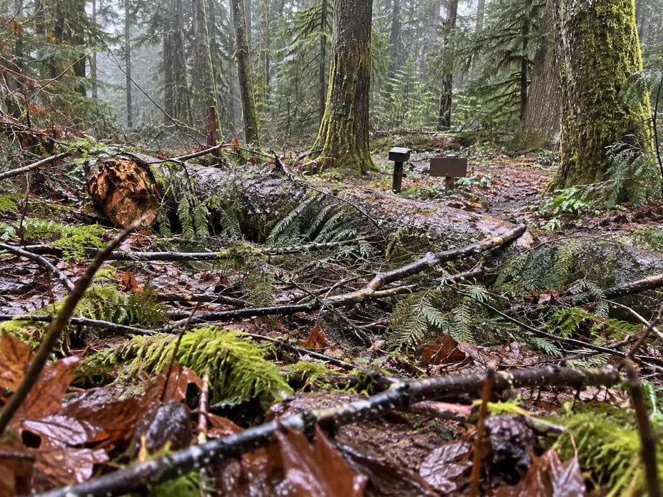
The climb starts gently on a broad, rocky old roadbed, with a creek alongside and bigleaf maples in the forest. Around a mile in, the path passes a Brothers Wilderness sign, dips briefly, then settles into fir and pine. The Duckabush first comes into view around mile two. This stretch is the easier part; the trail gets notably steeper after Little Hump.

River and cedarsA scenic rest spot beside the river comes about 2.4 miles in.

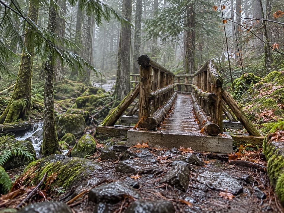
A scenic rest spot beside the river comes about 2.4 miles in. The water pushes between large boulders and through narrow rocky clefts. Continue roughly another half mile to a mossy grove of large cedars if you want a shady pause before the main climb. Snack Rock, higher on Big Hump, is the better stop for a broad look down the green river valley.

Big Hump and the burnBig Hump is the hard part: tight switchbacks climb loose, dark rock to Snack Rock and then over…

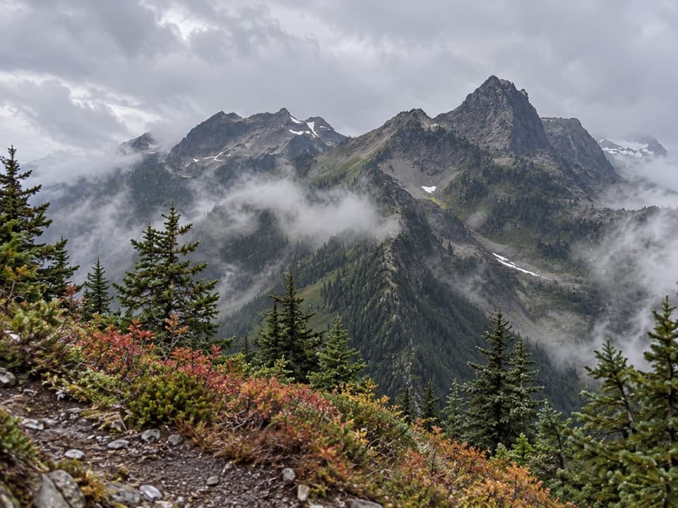
Big Hump is the hard part: tight switchbacks climb loose, dark rock to Snack Rock and then over the crest. After the high point, the path drops roughly 650 feet to Five-Mile Camp, so the return includes climbing back over the hump. The trail crosses a burn that began at Five-Mile Camp in 2011. Dead standing trees and unstable ground remain in that section, so choose rests and campsites carefully.

Turnaround and longer routeFive-Mile Camp is a popular camping and fishing area and the natural turnaround for this day…

Five-Mile Camp is a popular camping and fishing area and the natural turnaround for this day hike. The mapped line ends at the nearest tread by the camp marker. The Forest Service trail continues beyond camp and enters Olympic National Park about 6.7 miles from the trailhead; that longer backcountry route is a different outing from the 10.6-mile return here. Overnight trips entering the park need a wilderness permit. Dogs may accompany hikers on leash to the camp, but pets are prohibited inside the national park.

Getting to the trailheadFrom Quilcene, drive south on US 101 for about 15 miles to Duckabush Recreation Area.

From Quilcene, drive south on US 101 for about 15 miles to Duckabush Recreation Area. Turn west on Duckabush River Road, also Forest Service Road 2510, and continue about six miles to Forest Service Road 2510-060 and Duckabush Trailhead. The trailhead has a vault toilet but no potable water. A day-use recreation pass is required. The similarly named map pin for Duckabush River Trail is misplaced; use the official Duckabush Trailhead access.

Wildlife

Wildlife in Olympic

All Olympic wildlife maps

Sighting maps show where each species has been reported across Olympic. Wildlife moves, so no sighting is guaranteed.

Parkwolf’s Olympic ranking

Top-rated trails in Olympic

All 148 trails
  1. 1Hall of Mosses TrailEasy · 0.8 mi
  2. 2Hurricane Hill TrailModerate · 3.3 mi
  3. 3Sol Duc Falls Nature TrailEasy · 1.6 mi
  4. 4High Divide Loop (Seven Lakes Basin)Challenging · 19 mi
  5. 5Hoh River TrailChallenging · 34.8 mi
  6. 6Shi Shi Beach and Point of Arches TrailModerate · 8 mi

Take Parkwolf to Olympic.

The audio tour guide for the drive, plus offline maps, trails, and wildlife heatmaps for when the signal drops.

4.7 from 8,600+ ratings

Download Parkwolf on the App StoreGet Parkwolf on Google Play