Parking
Start from the Staircase Ranger Station parking area, then follow the North Fork Skokomish Trail about 12.5 miles to First Divide. The far end joins the Duckabush River Trail; neither endpoint has road parking.

Olympic National Park, WA
A steep backcountry link through a high meadow.
Overview
Map & elevation
Plan your hike

The highest, rockiest slopes around here are a summer buffet for grizzly bears.
Olympic Tour Guide
Parkwolf is a GPS audio tour guide for Olympic National Park. As you drive, it chimes in with what’s ahead: hidden gems, upcoming stops, history, geology, and wildlife, right through your car’s speakers.
See the Olympic audio tour“Fantastic app with many points of information… It’s great to just turn on while you’re driving and it gives you an audio tour of the national Park. We love it!!!!”


Trail guide
Home Sweet Home Trail is a 2.6-mile one-way wilderness connector from First Divide to the Duckabush River Trail, passing the Home Sweet Home meadow. Other route descriptions put it closer to 2.9 miles, so plan for about 2.6–2.9 miles. It drops nearly 2,000 feet; allow about 2½ hours for this leg. This is a backcountry connection, not a short hike from a parking lot.
Start at First Divide and head downhill through the meadow toward the Duckabush junction. The open grass looks toward Duckabush Mountain; small white flowers have been reported soon after snowmelt. Retracing the route makes this roughly a 5.2–5.8-mile out-and-back, with nearly 2,000 feet to climb back.
First Divide is reached by a roughly 12.5-mile approach from Staircase on the North Fork Skokomish Trail, and the other end is reached through the Duckabush River Trail. Build this connector into a longer itinerary. Snow and difficult route-finding can persist from fall through early summer. Overnight trips need a wilderness permit and bear canister; dogs are not allowed on park trails.
Wildlife
 710 sightingsOlympic MarmotMost seen around 11 AMSighting map
 30 sightingsHumpback WhaleMost seen around 6 PMSighting map
 42 sightingsGrey WhaleMost seen around noonSighting map
 23 sightingsMountain LionMost seen around 8 PMSighting map
 71 sightingsMountain GoatMost seen around 7 AMSighting map
 306 sightingsBald EagleMost seen around 11 AMSighting map
Sighting maps show where each species has been reported across Olympic. Wildlife moves, so no sighting is guaranteed.
Keep exploring
 ChallengingO'Neil Pass Trail12 mi · 10 hr · 1.4 mi awayO'Neil Pass links Upper Duckabush with East Fork Quinault.
 ChallengingAnderson Moraine Trail1.6 mi · 2 hr · 4.3 mi awayA steep alpine spur above a glacier-fed lake below Mount Anderson.
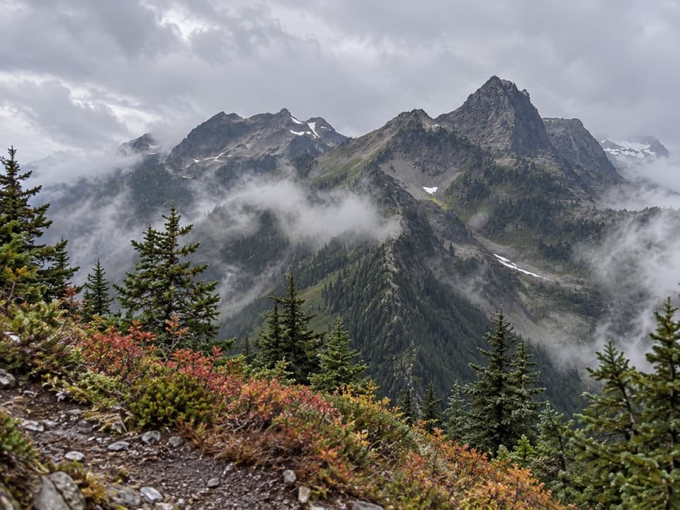 ChallengingLaCrosse Pass Trail6.4 mi · 5.5 hr · 4.7 mi awayA steep pass between two remote Olympic river valleys.
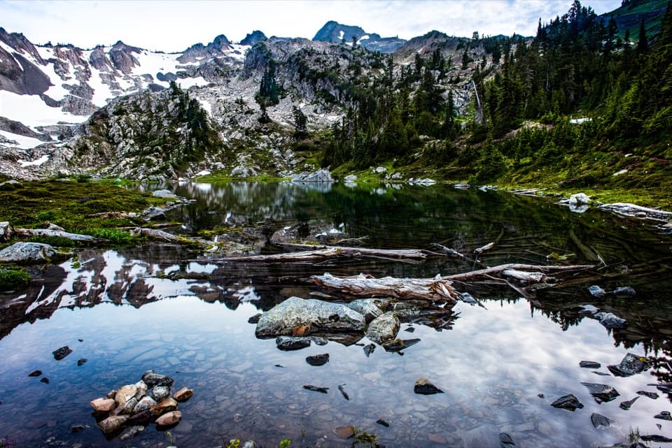 ChallengingPutvin Trail to Lake of the Angels6.7 mi · 7 hr · 5 mi awayA steep climb and headwall scramble lead to a true alpine lake.
 ChallengingBlack & White, Smith Lake Trail4.4 mi · 4.5 hr · 5.1 mi awayA rough climb over Black and White Lakes to Smith Lake.
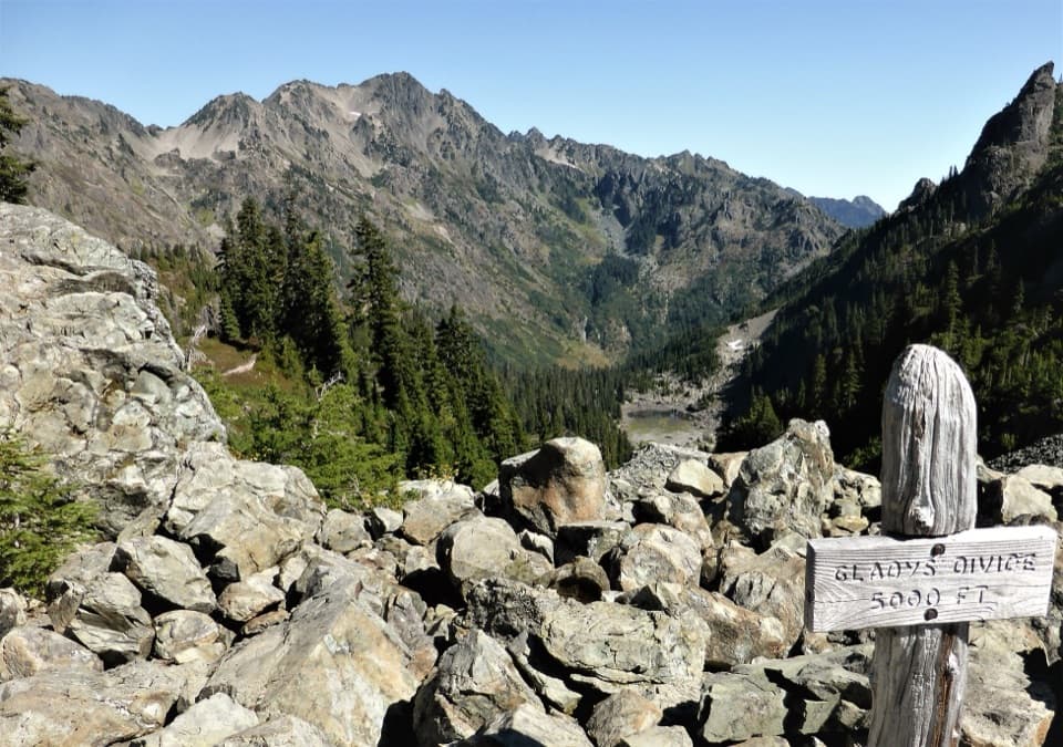 ChallengingGladys Divide Primitive Trail2.8 mi · 3 hr · 5.3 mi awayA steep primitive climb from Flapjack Lakes to a high divide.
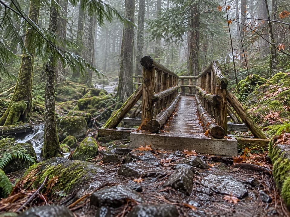 ChallengingUpper Lena Lake Trail14 mi · 10 hr · 7.8 mi awayA long climb pays off at a green lake under alpine peaks.
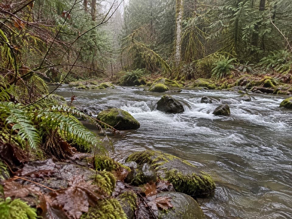 ModerateFour Stream Trail4.8 mi · 3.5 hr · 7.9 mi awayA mossy creek confluence marks the halfway point to the park boundary.
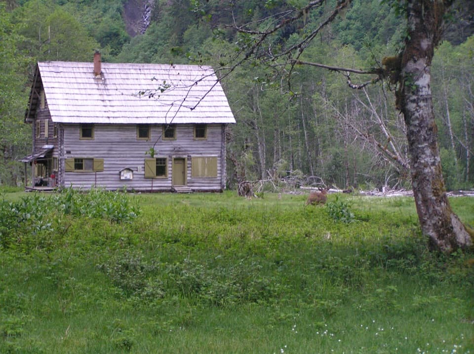 Sight · 4.5 mi awayEnchanted Valley ChaletA historic log chalet at the end of a long wilderness hike.
 Sight · 8.2 mi awayStaircase Big Cedar TreeA fallen 14-foot cedar, tucked just off an easy loop.
 Ranger station · 8.3 mi awayStaircase Ranger StationSeasonal ranger help beside an easy river loop
 Campground · 8.4 mi awayStaircase CampgroundCamp beside the North Fork beneath Olympic old-growth forest.
 Entrance station · 8.4 mi awayStaircase Entrance StationBuy your pass and get oriented before exploring Staircase.
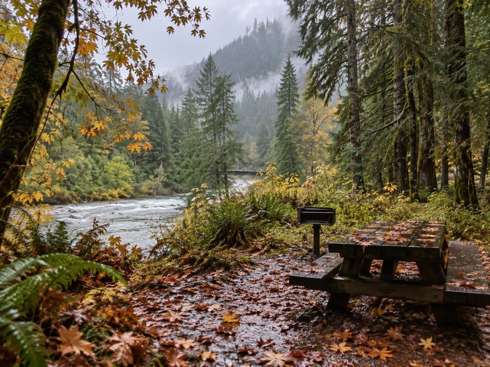 Picnic area · 8.4 mi awayStaircase Picnic AreaTables by the North Fork Skokomish make a handy meal stop.
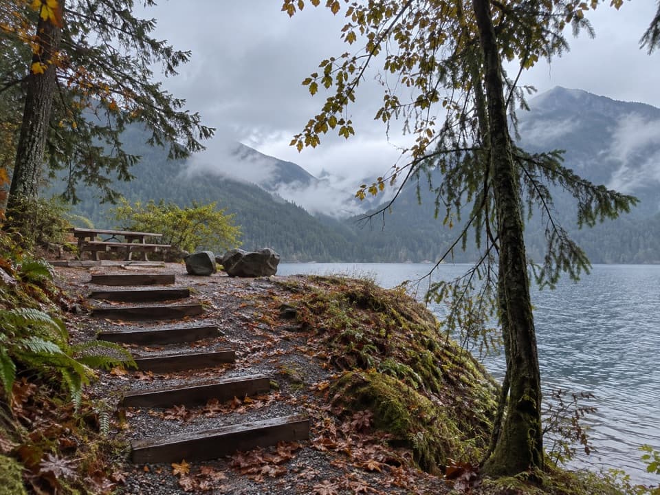 Picnic area · 9.9 mi awayLake Cushman Day Use Area Site 5A simple picnic table with a view over Lake Cushman.
Parkwolf’s Olympic ranking

The audio tour guide for the drive, plus offline maps, trails, and wildlife heatmaps for when the signal drops.





