Parking
Use the Peabody Creek trailhead at the western edge of the Olympic Visitor Center parking lot. Restrooms and picnic benches are nearby; park entrance fees may apply.
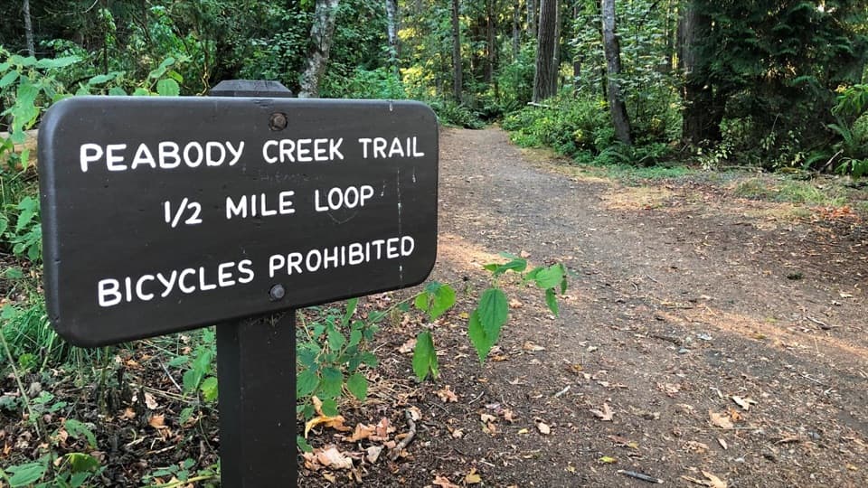
Olympic National Park, WA
A creekside forest walk with bridges, birdsong, and spring flowers.
Overview
Map & elevation
Plan your hike

The highest, rockiest slopes around here are a summer buffet for grizzly bears.
Olympic Tour Guide
Parkwolf is a GPS audio tour guide for Olympic National Park. As you drive, it chimes in with what’s ahead: hidden gems, upcoming stops, history, geology, and wildlife, right through your car’s speakers.
See the Olympic audio tourRecorded for this trailhead
Olympic Visitor Center and Beaumont Cabin“You're approaching the Olympic National Park Visitor Center in Port Angeles. Stop here if you'd like help choosing a route, and take a look at the peninsula relief map inside.”
Plays as you drive up to this trailhead in the Parkwolf Olympic Tour Guide.
More stories near here in the app
“Fantastic app with many points of information… It’s great to just turn on while you’re driving and it gives you an audio tour of the national Park. We love it!!!!”


Trail guide
Peabody Creek Trail is a 5.2-mile out-and-back from the Olympic Visitor Center to the junction with Hurricane Ridge Road and back. It descends into a wooded ravine where the creek, footbridges, and forest are the draw. Allow about three hours; that is a planning estimate for the longer route, since no full-route time is published. Expect around 800 feet of climbing. The separate half-mile Visitor Center loop returns by Aldwell Nature Trail; this longer hike continues south on Peabody Creek Trail.
Start at the west edge of the Visitor Center parking lot and follow the trail down toward the water. At the short-loop return, continue south along the creek to the road junction, then retrace the same path. The dirt tread has roots, steps, and wooden bridges, with some steep ups and downs. Muddy or slick patches recur after wet weather, especially early along the creek. This is not an ADA-accessible route.
Bigleaf maples, red alders, firs, and cedars shade the ravine. In spring, walkers have reported trillium, skunk cabbage, wild ginger, salmonberry, and other understory flowers. A spring birding walk recorded at least 19 species, including Pacific wren, Wilson's warbler, and brown creeper; sightings vary, but this is a good place to slow down and listen.
The trailhead is on the western edge of the Olympic Visitor Center parking lot. Restrooms and picnic benches are nearby, and park entrance fees may apply. Dogs are allowed on Peabody Creek Trail. If you only want a short forest walk, take the separate half-mile loop and return via Aldwell Nature Trail instead of continuing south.
Wildlife
 710 sightingsOlympic MarmotMost seen around 11 AMSighting map
 30 sightingsHumpback WhaleMost seen around 6 PMSighting map
 42 sightingsGrey WhaleMost seen around noonSighting map
 23 sightingsMountain LionMost seen around 8 PMSighting map
 71 sightingsMountain GoatMost seen around 7 AMSighting map
 306 sightingsBald EagleMost seen around 11 AMSighting map
Sighting maps show where each species has been reported across Olympic. Wildlife moves, so no sighting is guaranteed.
Keep exploring
ModeratePeabody Creek Loop0.5 mi · 24 min · 0.1 mi awayA short forest loop drops to Peabody Creek and returns by Aldwell.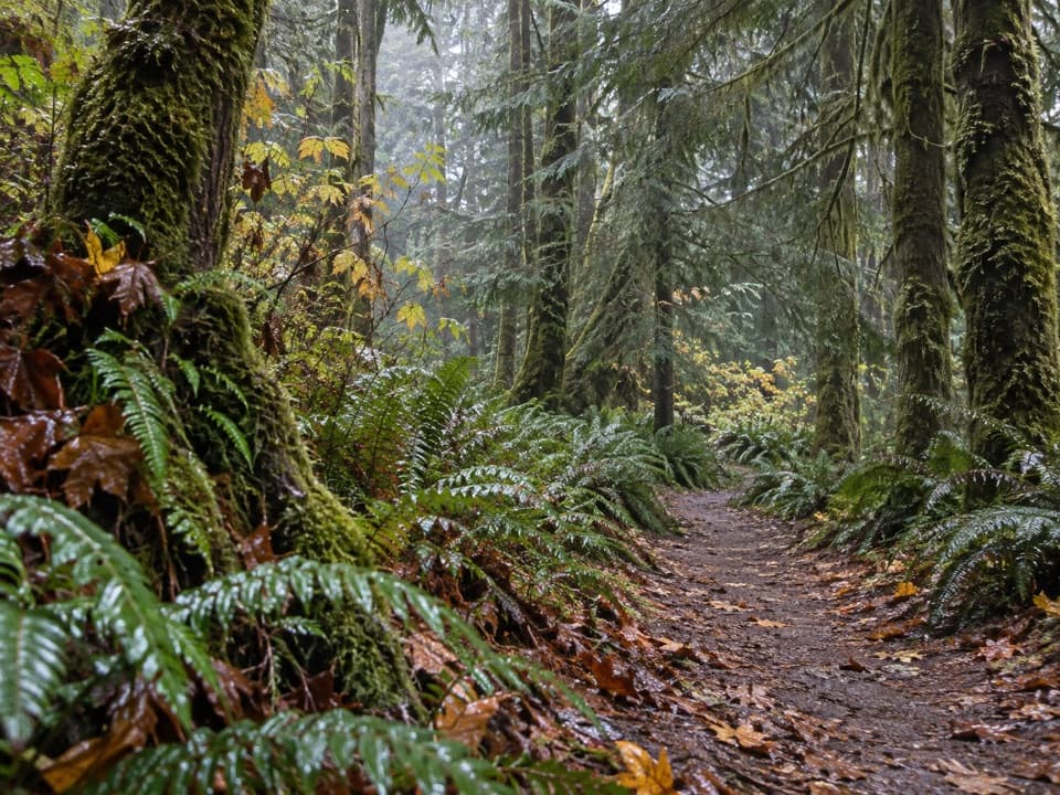 EasyLiving Forest Trail0.3 mi · 18 min · 0.2 mi awayA short forest loop with a fallen-tree root-wad detour.
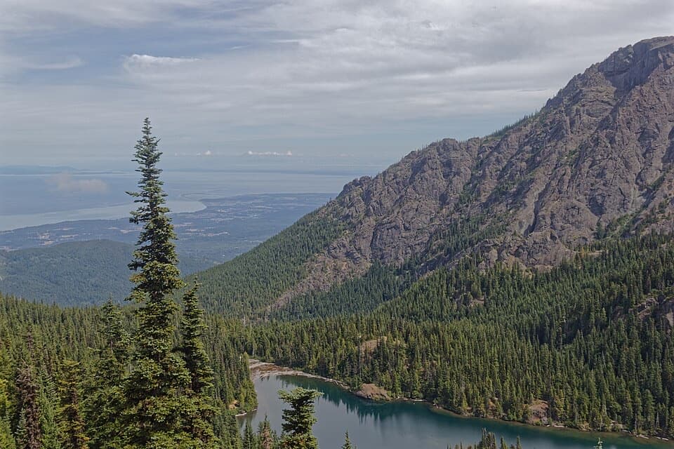 ChallengingHeather Park–Lake Angeles Loop12.5 mi · 9 hr · 4.2 mi awayA hard ridge loop from flower meadows to a mountain lake.
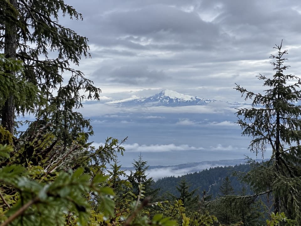 ChallengingHeather Park Trail10 mi · 9 hr · 4.2 mi awayFive miles uphill to wildflower meadows; nearly 4,000 feet of climb.
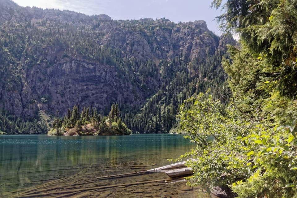 ModerateLake Angeles Trail7 mi · 5.5 hr · 4.2 mi awayA steep forest climb to an alpine lake with a central island.
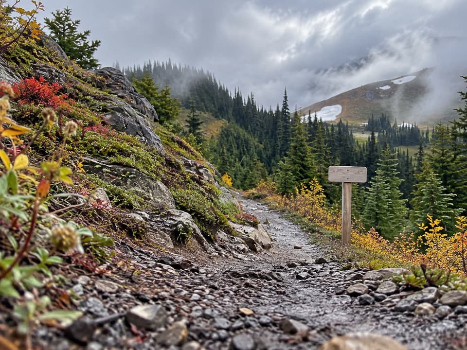 ChallengingLittle River Trail6.8 mi · 7.5 hr · 4.5 mi awayRiver bridges give way to a high, 4,100-foot climb.
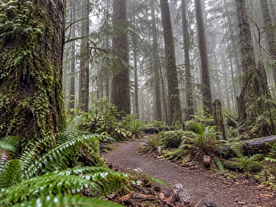 ModerateHeart O' the Forest Trail4.6 mi · 2 hr · 4.6 mi awayOld growth and a streamside boardwalk give way to a rougher finish.
 EasyLookout Rock Nature Trail0.1 mi · 12 min · 6.6 mi awayA quick paved spur to a snowy ridge above a forested valley.
 Sight · 0.2 mi awayThe Beaumont CabinA preserved log cabin steps from the park’s main visitor center.
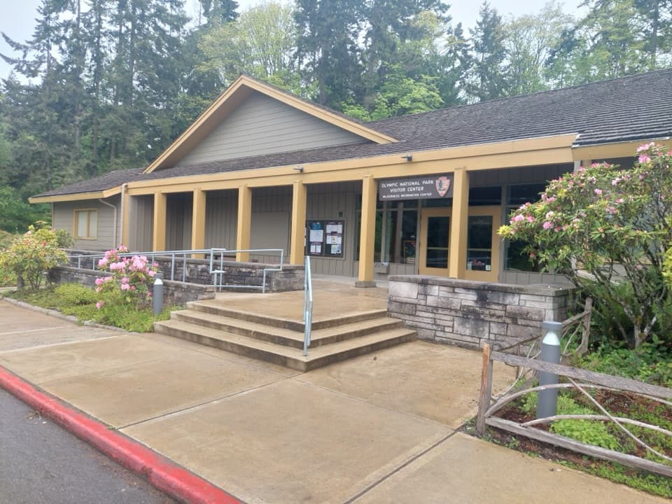 Visitor center · 0.2 mi awayOlympic National Park Visitor CenterA smart first stop for maps, route advice, and wilderness plans
 Sight · 0.2 mi awayOlympic National Park Welcome Sign, Port AngelesA quick first photo, with a welcome in Klallam too.
 Entrance station · 4.3 mi awayHeart O' the Hills Entrance StationA quick fee stop before the road climbs toward Hurricane Ridge.
 Campground · 4.4 mi awayHeart O' the Hills CampgroundA quiet forest base for Hurricane Ridge and a woodland walk.
 Sight · 5.9 mi awayElwha Dam Interpretive SiteA compact pavilion tells the story of the Elwha's dam removal.
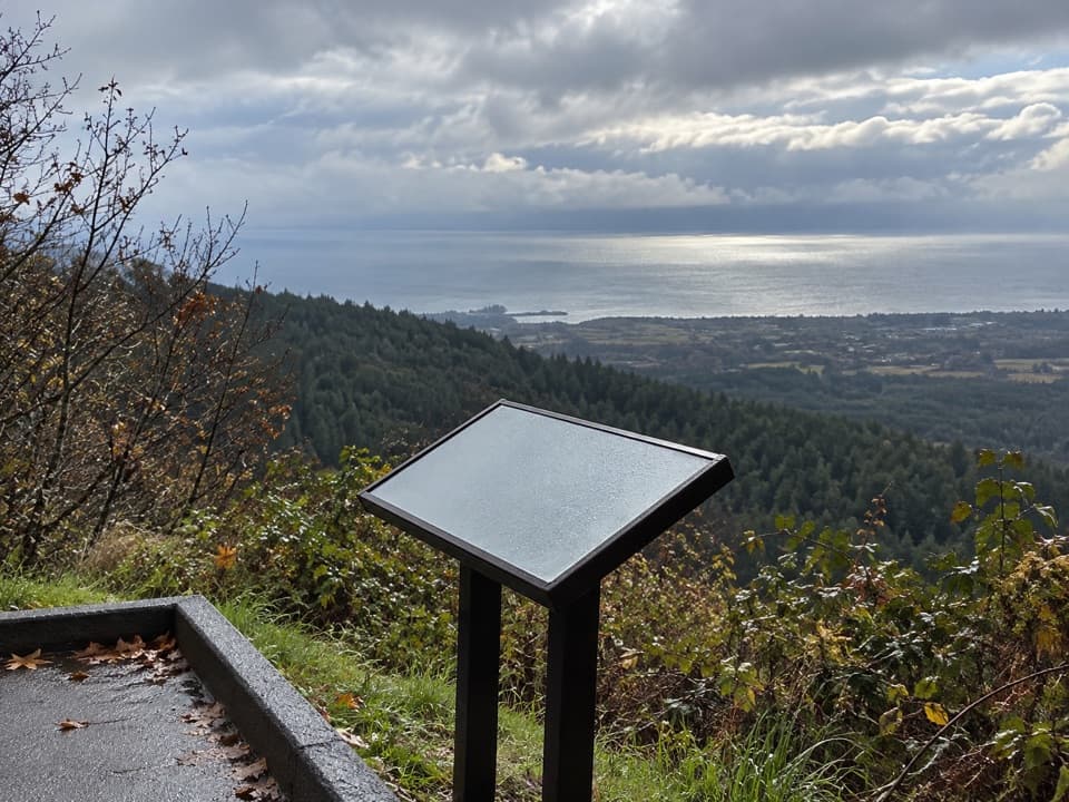 Sight · 6.6 mi awayNorth Peninsula OverlookA roadside pause for the Strait and a forested valley.
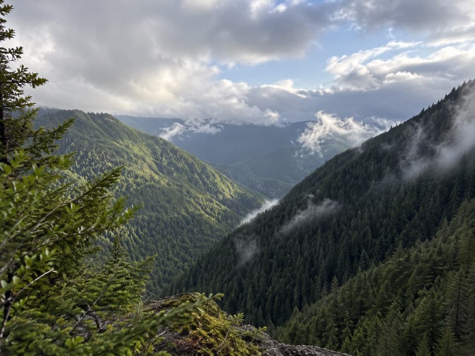 Sight · 6.7 mi awayWater Journey OverlookA quick mountain view on the way up Hurricane Ridge Road.
Parkwolf’s Olympic ranking

The audio tour guide for the drive, plus offline maps, trails, and wildlife heatmaps for when the signal drops.





