Parking
Park at the Staircase Ranger Station trailhead, across from the campground. Flapjack Lakes, the start of this segment, is about 7.5 miles one way up the Flapjack Lakes Trail.
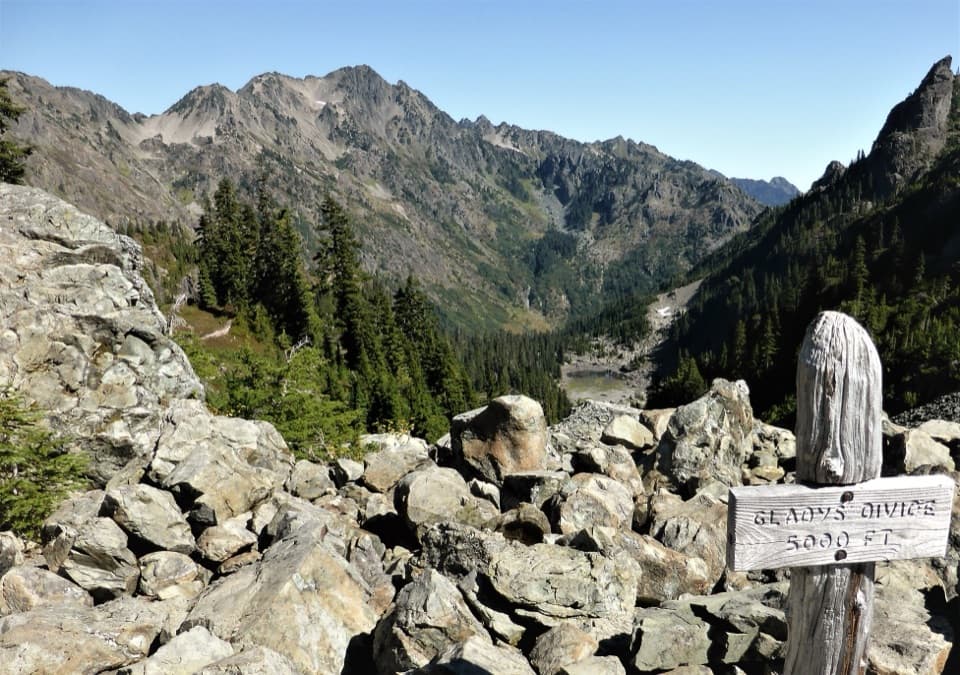
Olympic National Park, WA
A steep primitive climb from Flapjack Lakes to a high divide.
Overview
Map & elevation
Plan your hike

The highest, rockiest slopes around here are a summer buffet for grizzly bears.
Olympic Tour Guide
Parkwolf is a GPS audio tour guide for Olympic National Park. As you drive, it chimes in with what’s ahead: hidden gems, upcoming stops, history, geology, and wildlife, right through your car’s speakers.
See the Olympic audio tourMore stories near here in the app
“Fantastic app with many points of information… It’s great to just turn on while you’re driving and it gives you an audio tour of the national Park. We love it!!!!”


Trail guide
Gladys Divide Primitive Trail is a steep 2.8-mile out-and-back from Flapjack Lakes, following the named 1.4-mile trail to the divide and back. It climbs about 1,150 feet from roughly 3,900 to 5,050 feet; allow about three hours for this sustained high-country route. It makes sense as an extension for hikers already at the lakes, but it is a major addition to the long approach from the road.
From Staircase Ranger Station, the Flapjack Lakes Trail follows the North Fork Skokomish and climbs about 7.5 miles one way to the lakes. It passes Donahue Creek Falls before reaching the two Flapjack Lakes, which sit just below tree line beneath the Sawtooth Range. Published Staircase-to-divide outings run about 17.2 to 20 miles round trip; those totals include the full approach, while this trail's 2.8 miles cover only the spur above Flapjack Lakes.
The primitive route keeps climbing from the lakes along the ridge toward the divide. One firsthand account describes the upper trail opening into a boulder field; it also encountered spring snow, which varies with the season. Expect a sustained climb rather than a level stroll around camp.
From Gladys Divide, the view opens toward the headwaters of the Hamma Hamma River and the Olympic interior. A small path continues toward Mount Gladys, but that optional continuation is not part of the mapped route. At the divide, the weathered trail sign and pale boulders make a useful foreground for the jagged ridges beyond.
Flapjack Lakes has vault toilets and water, which should be treated before drinking. If you camp there, use designated sites and obtain a wilderness permit; camping is limited, bear canisters are required, and campfires are prohibited above 3,500 feet. Pets and stock are not allowed on this trail, and food service was not found along the route.
Wildlife
 710 sightingsOlympic MarmotMost seen around 11 AMSighting map
 30 sightingsHumpback WhaleMost seen around 6 PMSighting map
 42 sightingsGrey WhaleMost seen around noonSighting map
 23 sightingsMountain LionMost seen around 8 PMSighting map
 71 sightingsMountain GoatMost seen around 7 AMSighting map
 306 sightingsBald EagleMost seen around 11 AMSighting map
Sighting maps show where each species has been reported across Olympic. Wildlife moves, so no sighting is guaranteed.
Keep exploring
 ChallengingBlack & White, Smith Lake Trail4.4 mi · 4.5 hr · 0.3 mi awayA rough climb over Black and White Lakes to Smith Lake.
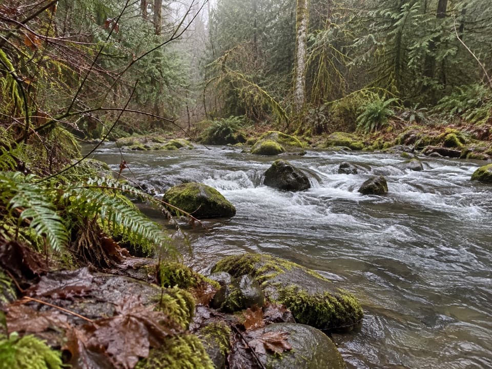 ModerateFour Stream Trail4.8 mi · 3.5 hr · 2.7 mi awayA mossy creek confluence marks the halfway point to the park boundary.
 EasyBig Cedar Trail (Staircase)0.4 mi · 20 min · 3 mi awayA short gravel path to a fallen cedar 14 feet across.
 ChallengingFlapjack Lakes Trail15.6 mi · 9.5 hr · 3.2 mi awayA long forest climb ends at twin lakes below the Sawtooths.
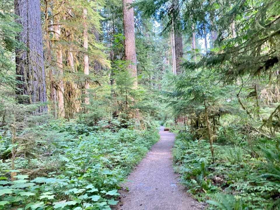 ChallengingNorth Fork Skokomish River Trail25 mi · 16 hr · 3.2 mi awayA long river-valley walk to a remote Olympic mountain pass.
 ModerateShady Lane Trail0.8 mi · 45 min · 3.2 mi awayA narrow cedar trail with river views and two small bridges.
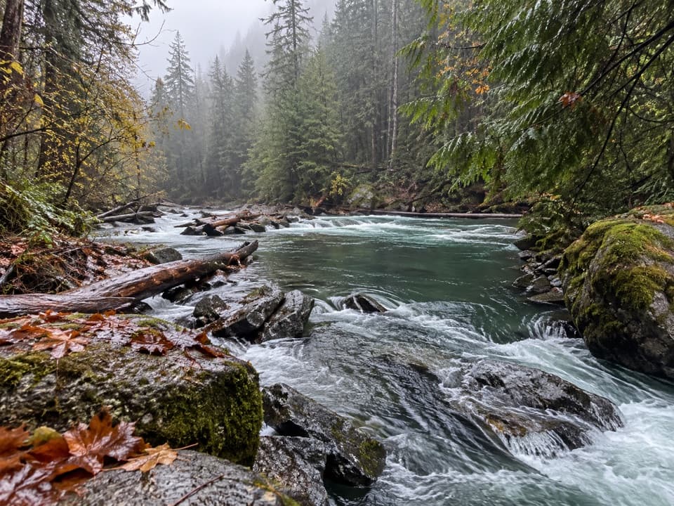 EasyStaircase Rapids Loop Trail2.1 mi · 1.3 hr · 3.3 mi awayA shady loop to river rapids and an enormous fallen cedar.
 ChallengingWagonwheel Lake Trail5.6 mi · 6 hr · 3.3 mi awayA relentless climb ends at a small, turquoise subalpine lake.Sight · 3.1 mi awayStaircase Big Cedar TreeA fallen 14-foot cedar, tucked just off an easy loop.
 Ranger station · 3.3 mi awayStaircase Ranger StationSeasonal ranger help beside an easy river loop
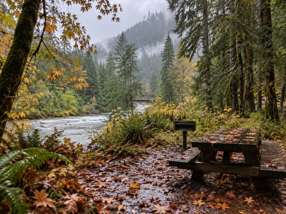 Picnic area · 3.3 mi awayStaircase Picnic AreaTables by the North Fork Skokomish make a handy meal stop.
 Campground · 3.4 mi awayStaircase CampgroundCamp beside the North Fork beneath Olympic old-growth forest.
 Entrance station · 3.4 mi awayStaircase Entrance StationBuy your pass and get oriented before exploring Staircase.
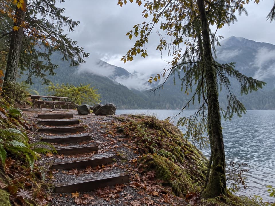 Picnic area · 5.4 mi awayLake Cushman Day Use Area Site 5A simple picnic table with a view over Lake Cushman.
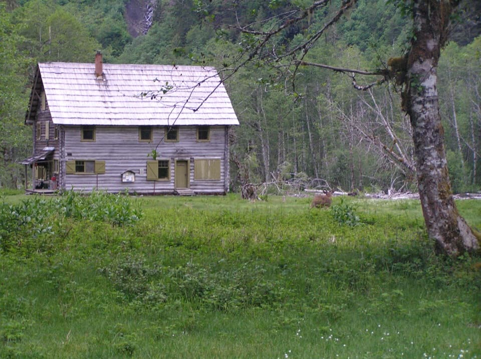 Sight · 7.9 mi awayEnchanted Valley ChaletA historic log chalet at the end of a long wilderness hike.
Parkwolf’s Olympic ranking

The audio tour guide for the drive, plus offline maps, trails, and wildlife heatmaps for when the signal drops.





