Parking
Use the Putvin Trailhead pullout on the right side of Hamma Hamma River Road (NF-25), about 4.5 miles past Lena Lake Trailhead. The road beyond Lena Lake is gravel with occasional potholes.
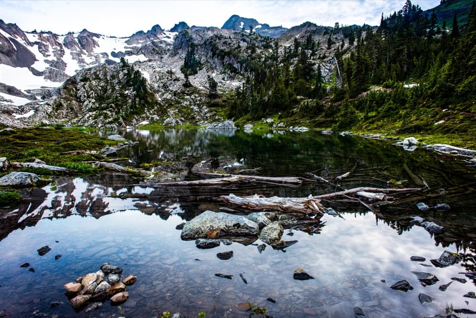
Olympic National Park, WA
A steep climb and headwall scramble lead to a true alpine lake.
Overview
Putvin Trail #813 is a hard out-and-back from Putvin Trailhead to Lake of the Angels, about 6.7 miles round trip with roughly 3,400 feet of climbing. Allow six to eight hours. The lower approach follows Boulder Creek, but most of the gain comes on a sustained, steep ascent, followed by an exposed headwall scramble and a muddy alpine basin. The payoff is a small clear lake beneath Mount Skokomish and Mount Stone. Choose it if you are comfortable with steep, slippery ground, hands-on scrambling and finding faint tread; turning back before the headwall is sensible if those are not your conditions.
 Parkwolf’s verdictIs this the hike for you?
Map & elevation
Plan your hike

The highest, rockiest slopes around here are a summer buffet for grizzly bears.
Olympic Tour Guide
Parkwolf is a GPS audio tour guide for Olympic National Park. As you drive, it chimes in with what’s ahead: hidden gems, upcoming stops, history, geology, and wildlife, right through your car’s speakers.
See the Olympic audio tour“Fantastic app with many points of information… It’s great to just turn on while you’re driving and it gives you an audio tour of the national Park. We love it!!!!”


Trail guide
The first 1.5 miles are a relatively moderate walk beside Boulder Creek. A short early spur reaches Carl Putvin's grave marker; Putvin was a local trapper whose name the trail carries. The route then climbs by switchbacks, turns away from the creek and crosses two drainages before the grade steepens through forest. There are occasional views back toward the peaks.
At the closed Boulder Creek Road bed, turn left and walk downhill about 200 yards. It is the hike's one real break from climbing. A second trail sign on the right points toward Lake of the Angels and the next climb.
The trail rises again over a large switchback on steep, sometimes slippery tread. After more forest climbing it emerges into a meadow where thimbleberries grow in season. Take a breather here: the headwall and the route-finding beyond it are still ahead.
The headwall is a short but consequential scramble, near-vertical in places; use care on the steep rock and roots, especially when they are wet. Beyond it, the alpine basin can be muddy and the faint paths confusing. The small Pond of the False Prophet is not the destination: continue about another half mile to Lake of the Angels.
The true lake is small enough to walk around in a few minutes, with Mount Skokomish and Mount Stone reflected in clear water. Scramble paths continue from the lakeshore toward the slopes and higher basin, but those are separate extensions, not part of this out-and-back.
Start at the Putvin Trailhead roadside pullout on the right side of Hamma Hamma River Road (NF-25), about 4.5 miles beyond Lena Lake Trailhead. That last stretch of road is gravel with occasional potholes and is not maintained in winter, so access can be seasonal. The route begins in Mount Skokomish Wilderness and enters Olympic National Park after about three miles. Overnight travel in the park requires a wilderness permit; pets are not allowed on this full hike, and campfires are prohibited above 3,500 feet inside the park.
The mapped trail measures about 3.33 miles to the lake, which gives 6.67 miles out and back. Published figures range from 6.7 to about 8 miles. The route mapped here is about 3.3 miles to the lake; leave some extra room for wayfinding in the confusing basin.
Wildlife
 710 sightingsOlympic MarmotMost seen around 11 AMSighting map
 30 sightingsHumpback WhaleMost seen around 6 PMSighting map
 42 sightingsGrey WhaleMost seen around noonSighting map
 23 sightingsMountain LionMost seen around 8 PMSighting map
 71 sightingsMountain GoatMost seen around 7 AMSighting map
 306 sightingsBald EagleMost seen around 11 AMSighting map
Sighting maps show where each species has been reported across Olympic. Wildlife moves, so no sighting is guaranteed.
Keep exploring
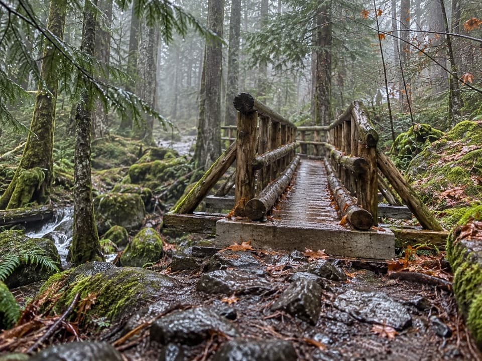 ChallengingUpper Lena Lake Trail14 mi · 10 hr · 4 mi awayA long climb pays off at a green lake under alpine peaks.
 ChallengingHome Sweet Home Trail2.6 mi · 2.5 hr · 5 mi awayA steep backcountry link through a high meadow.
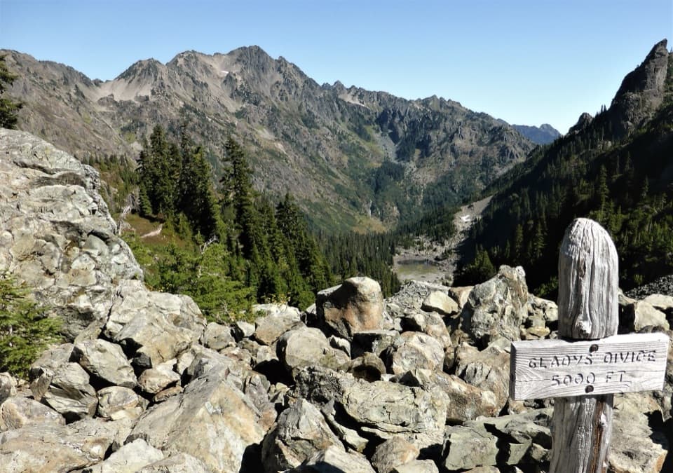 ChallengingGladys Divide Primitive Trail2.8 mi · 3 hr · 5.3 mi awayA steep primitive climb from Flapjack Lakes to a high divide.
 ChallengingBlack & White, Smith Lake Trail4.4 mi · 4.5 hr · 5.3 mi awayA rough climb over Black and White Lakes to Smith Lake.
 ChallengingO'Neil Pass Trail12 mi · 10 hr · 6.3 mi awayO'Neil Pass links Upper Duckabush with East Fork Quinault.
 ChallengingWagonwheel Lake Trail5.6 mi · 6 hr · 6.4 mi awayA relentless climb ends at a small, turquoise subalpine lake.
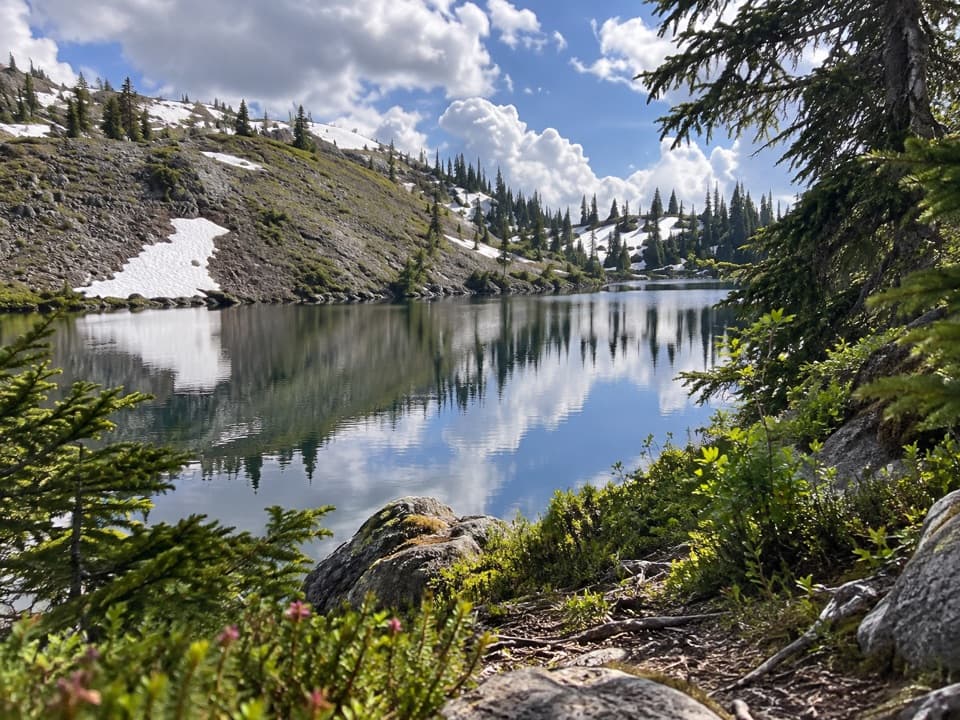 ChallengingBlack and White Lakes Primitive Trail14 mi · 11.5 hr · 6.4 mi awayA steep climb to an open basin of lakes and mountain views.
 EasyBig Cedar Trail (Staircase)0.4 mi · 20 min · 6.5 mi awayA short gravel path to a fallen cedar 14 feet across.
 Entrance station · 6.5 mi awayStaircase Entrance StationBuy your pass and get oriented before exploring Staircase.
 Ranger station · 6.5 mi awayStaircase Ranger StationSeasonal ranger help beside an easy river loop
 Campground · 6.5 mi awayStaircase CampgroundCamp beside the North Fork beneath Olympic old-growth forest.Sight · 6.5 mi awayStaircase Big Cedar TreeA fallen 14-foot cedar, tucked just off an easy loop.
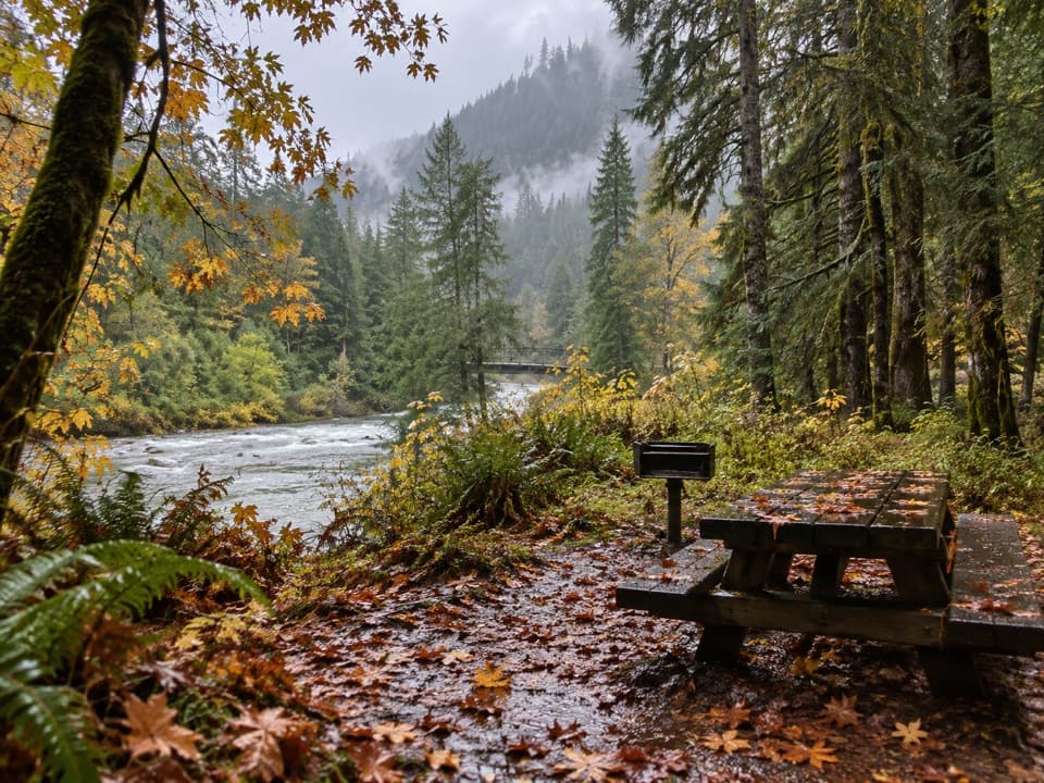 Picnic area · 6.6 mi awayStaircase Picnic AreaTables by the North Fork Skokomish make a handy meal stop.
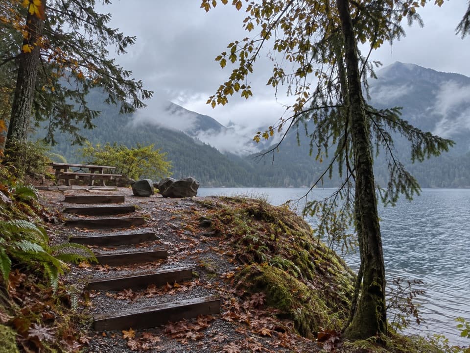 Picnic area · 6.8 mi awayLake Cushman Day Use Area Site 5A simple picnic table with a view over Lake Cushman.
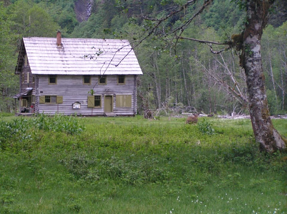 Sight · 9.4 mi awayEnchanted Valley ChaletA historic log chalet at the end of a long wilderness hike.
Parkwolf’s Olympic ranking
The audio tour guide for the drive, plus offline maps, trails, and wildlife heatmaps for when the signal drops.





