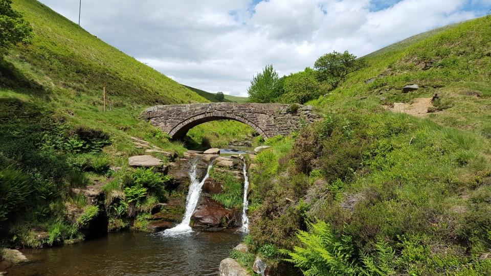
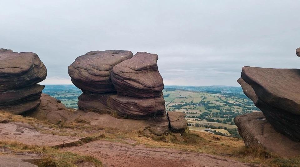
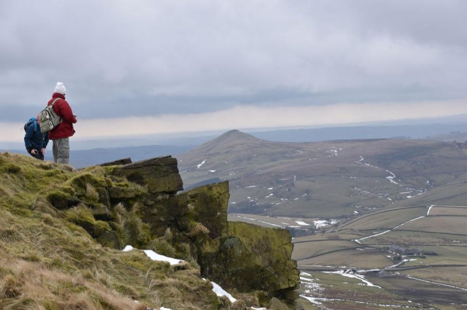
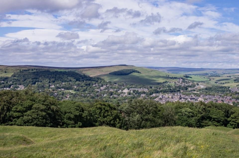
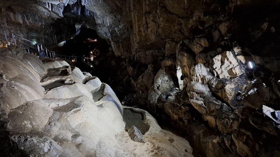
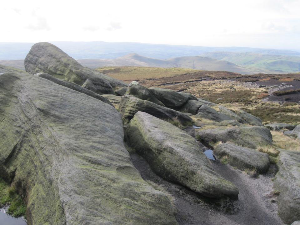
Three Shires Head in Peak District National Park

Sight · Peak District National Park

Three Shires Head

Where three counties meet at a packhorse bridge and waterfalls

Photo: Colin Park, CC BY-SA 2.0

Type
Sight
Nearest trail
2.6 km
Audio stories
8 nearby

Hear the audio tour

Three Shires Head from Gradbach
Download Parkwolf on the App StoreGet Parkwolf on Google Play

4.7 from 8,600+ ratings

Overview

About Three Shires Head

Why stop

  • Packhorse bridge and falls in a three-county valley

Heads up

  • Rocky walk required; the small falls area can get busy

Map

Where it is

Loading the Peak District map
Full map
SightThree Shires Head53.21399, -1.98749
Keep this map with you offline in the Parkwolf app

Plan your stop

Before you go

2 active Peak District alerts

  • ClosureWyedale car park and track vehicle closureWyedale car park and the track between the car park and Blackwell (leading to the Monsal Trail) will be closed to vehicles Tuesday 24–Thursday 26 November for urgent repairs.Official details
  • ClosureSilence Mine access exclusionOpen-access land at Silence Mine, Great Hucklow is excluded for public safety until 30 April 2027. - Public rights of way are not affected. Check current access restrictions before setting out.Official details
Peak District alerts
A park ranger sits on a dash-mounted phone, talking, as Parkwolf’s Tour Guide plays “Army Cutworm Moths: A Grizzly Bear Buffet” on Grand Loop Road below Dunraven Pass in Yellowstone
Parkwolf Tour GuideThe highest, rockiest slopes around here are a summer buffet for grizzly bears.

Peak District Tour Guide

Your drive to Three Shires Head, narrated.

Parkwolf is a GPS audio tour guide for Peak District National Park. As you drive, it chimes in with what’s ahead: hidden gems, upcoming stops, history, geology, and wildlife, right through your car’s speakers.

See the Peak District audio tour

Recorded for this place

Three Shires Head from Gradbach
0:00 / 0:27
“You're approaching Gradbach, a walking start for Three Shires Head, where Cheshire, Derbyshire and Staffordshire meet beside a packhorse bridge over the River Dane.”

Plays as you drive up to Three Shires Head in the Parkwolf Peak District Tour Guide.

More stories near here in the app

  • The White Flash on the Moor
  • Flash Money and the County Line
  • When the Three Shires Moved
  • Flash's Button Makers Stand Together
  • 298 audio storiesacross Peak District’s roads, triggered by GPS as you drive
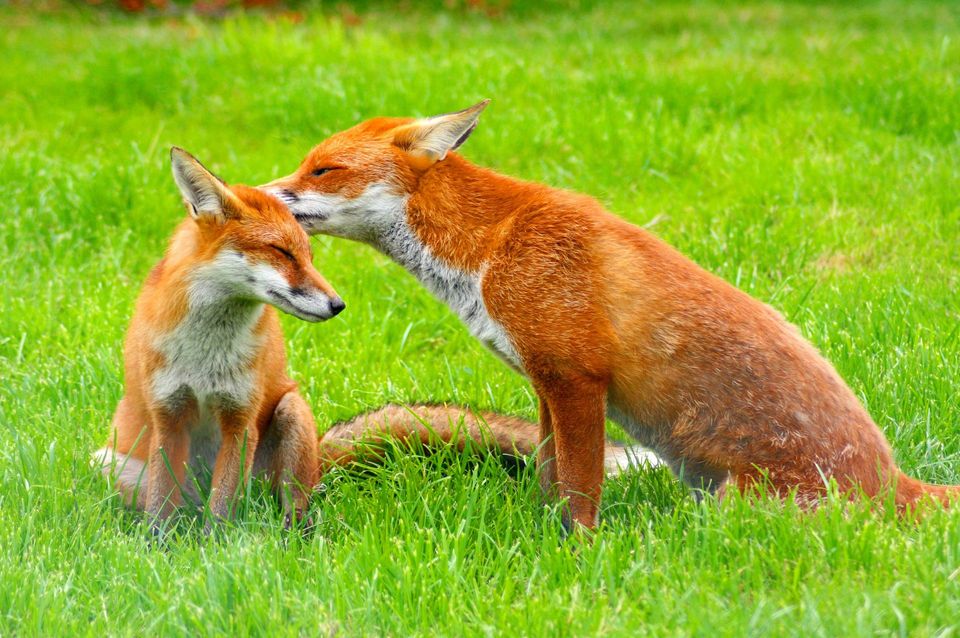
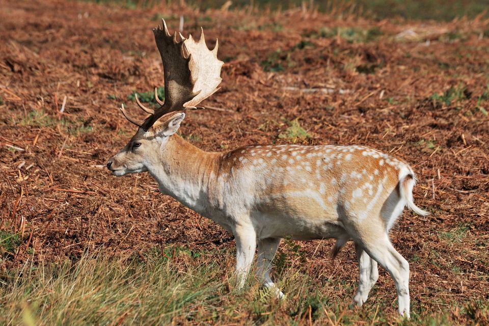
  • Wildlife heatmapsfor Red Deer, Red Fox, Eurasian Otter, and 13 more
  • Works offlinemaps, 90 trails, 77 places, and audio download before you lose signal
  • CarPlay readysimple controls built for the drive
★★★★★
“Fantastic app with many points of information… It’s great to just turn on while you’re driving and it gives you an audio tour of the national Park. We love it!!!!”
JMJamesApp Store review
Download Parkwolf on the App StoreGet Parkwolf on Google Play

4.7 from 8,600+ ratings

Guide

More about Three Shires Head

A bridge where three counties meetThree Shires Head is a packhorse bridge over the River Dane, in a narrow valley where Cheshire,…

Three Shires Head is a packhorse bridge over the River Dane, in a narrow valley where Cheshire, Derbyshire and Staffordshire meet. Low waterfalls and pools gather around the stone crossing. It's a lovely place to linger, but you'll need to walk to get there: there is no road access or parking at the bridge.

Make the walk part of the stopOne option is a 3.9-mile (6.

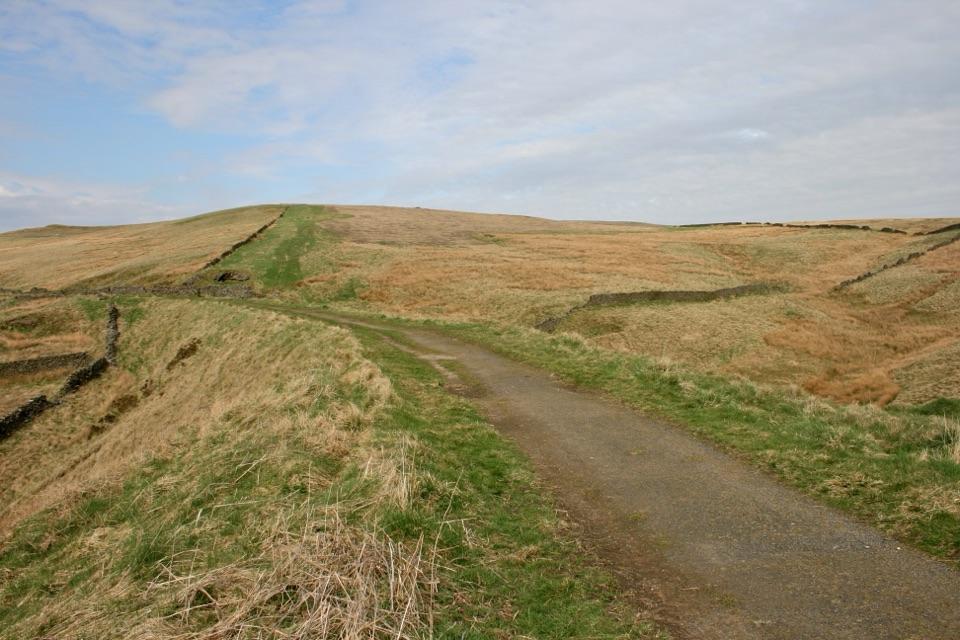
One option is a 3.9-mile (6.2 km) circular walk from Gradbach car park, through fields and open valley scenery, with the falls roughly halfway round. Allow around two hours for the walk, longer with a relaxed stop. Paths can be rocky, muddy and uneven, with loose stones, and junctions can be easy to miss, so wear sturdy shoes and take a map or an offline route. The route is not suited to wheels or step-free travel. The car park can fill on sunny weekends and holidays; an early weekday visit is likely to feel quieter.

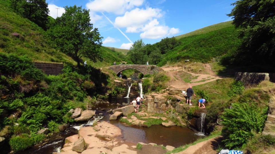
At the waterFollow the river to the old bridge and look at the ledges and small falls below it.

Follow the river to the old bridge and look at the ledges and small falls below it. Water levels change with rainfall. For a photo, frame the bridge with the cascades below it to show how the crossing fits into the valley. The waterside rocks can be slippery, especially when wet.

Water safetyThe pools look inviting, but the national park advises entering open water only as part of a…

The pools look inviting, but the national park advises entering open water only as part of a supervised, organised activity. There are no lifeguards or patrols in the open countryside, and swimming in rivers is not permitted unless on-site signs identify a designated area. The water is cold and conditions change.

Before you set outBring water, snacks and a layer for the weather; there are no confirmed facilities at the falls.

Bring water, snacks and a layer for the weather; there are no confirmed facilities at the falls. Phone signal can be unreliable in the valley, so download your route before leaving and take your litter home.

Wildlife

Wildlife in Peak District

All Peak District wildlife maps

Sighting maps show where each species has been reported across Peak District. Wildlife moves, so no sighting is guaranteed.

Parkwolf’s Peak District ranking

Top sights in Peak District

All 77 places
  1. 1Chatsworth HouseSight
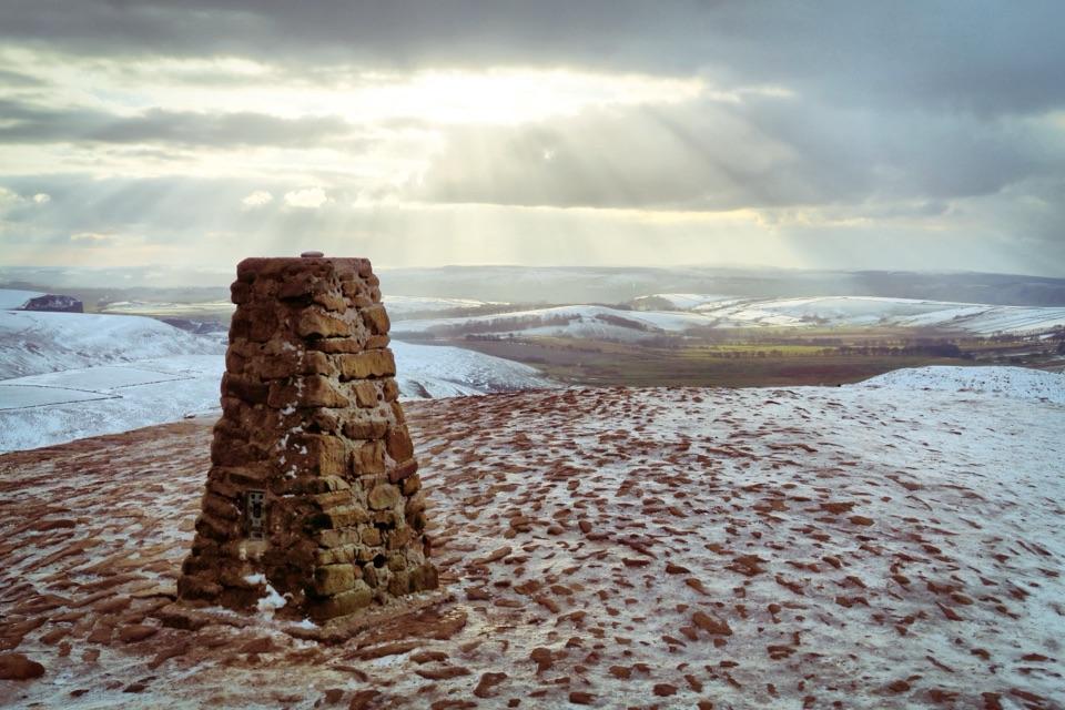
  2. 2Mam TorSight
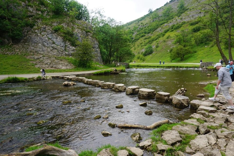
  3. 3Dovedale Stepping StonesSight
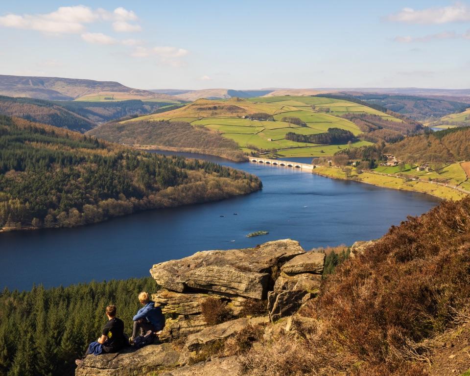
  4. 4Ladybower ReservoirSight
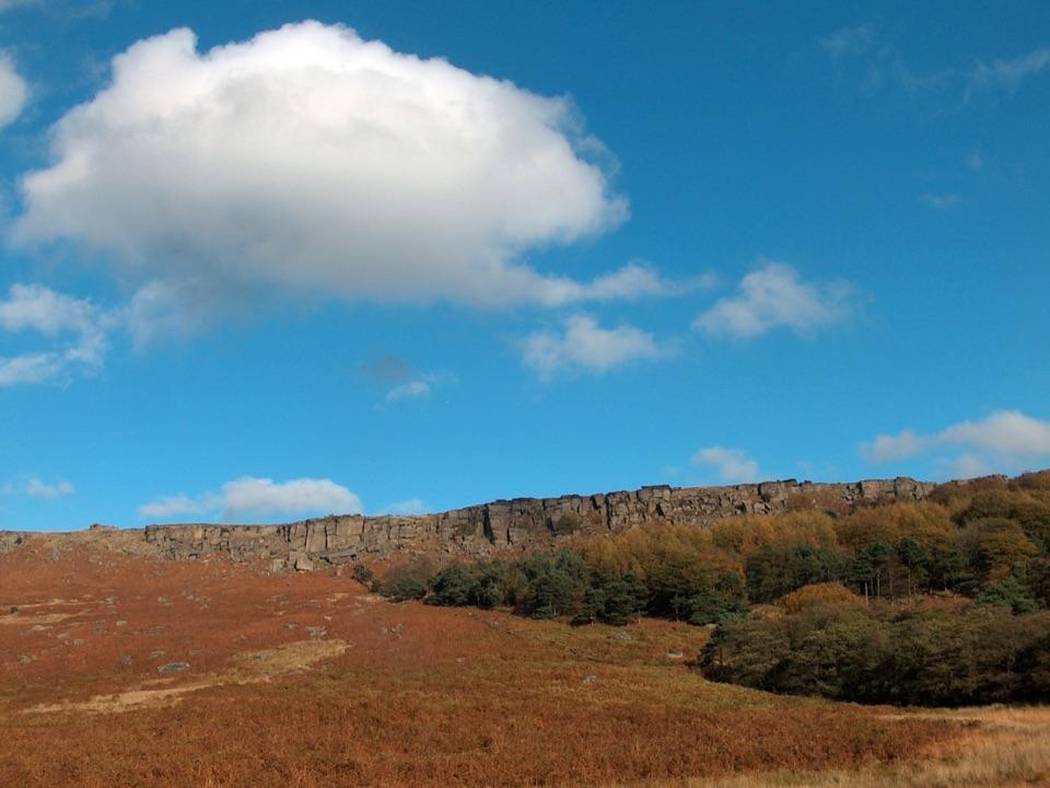
  5. 5Stanage EdgeSight
  6. 6Kinder ScoutSight

Take Parkwolf to Peak District.

The audio tour guide for the drive, plus offline maps, trails, and wildlife heatmaps for when the signal drops.

4.7 from 8,600+ ratings

Download Parkwolf on the App StoreGet Parkwolf on Google Play