Parking
Start at Gradbach Car Park (SJ 9989 6620). It fills quickly on weekends and school holidays, so arrive early.
Peak District National Park, EN
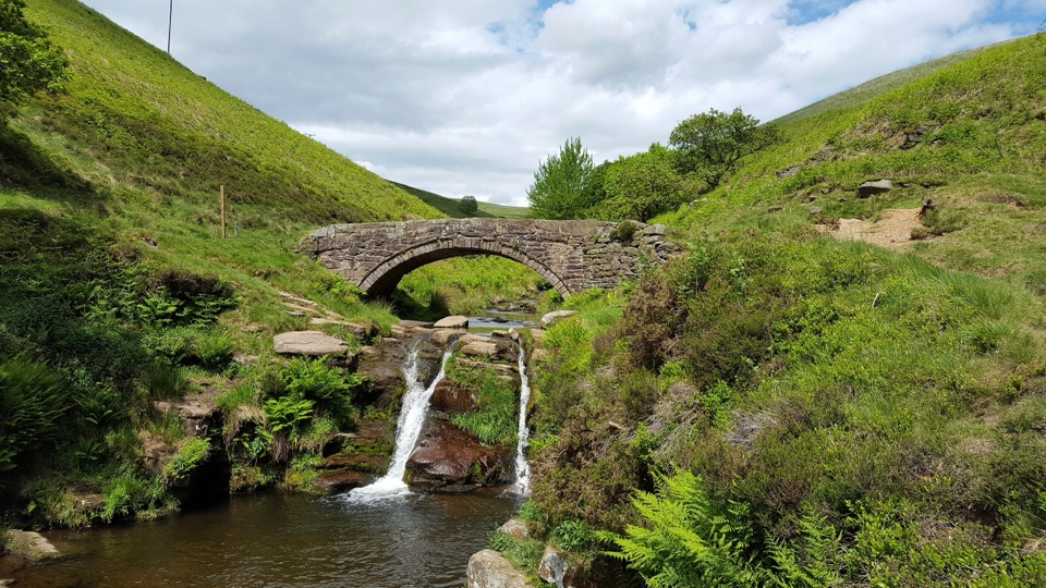
Twin falls and a packhorse bridge halfway around a farm loop.
Overview
Map & elevation
Plan your hike

The highest, rockiest slopes around here are a summer buffet for grizzly bears.
Peak District Tour Guide
Parkwolf is a GPS audio tour guide for Peak District National Park. As you drive, it chimes in with what’s ahead: hidden gems, upcoming stops, history, geology, and wildlife, right through your car’s speakers.
Recorded for this trailhead
Three Shires Head from Gradbach“You're approaching Gradbach, the walking start for Three Shires Head, where Cheshire, Derbyshire and Staffordshire meet at a packhorse bridge over the River Dane.”
Plays as you drive up to this trailhead in the Parkwolf Peak District Tour Guide.
More stories near here in the app
“Fantastic app with many points of information… It’s great to just turn on while you’re driving and it gives you an audio tour of the national Park. We love it!!!!”


Trail guide
Three Shires Head Circular from Gradbach is a 3.9-mile anticlockwise loop with about 182 metres of ascent. It climbs through fields and farm tracks to the River Dane, where Cheshire, Derbyshire and Staffordshire meet beside an old packhorse bridge and twin cascades, then returns along the river and a farm lane. Budget 2–3 hours, depending on how long you stop at the pools. The falls become the midpoint of a proper countryside walk.
Start at the stream-side corner of Gradbach Car Park, cross the wooden footbridge, then walk diagonally across a field to the road. Turn uphill and take the signed path beside a driveway, past the house and through the gate. The gradual climb follows fields and dry-stone walls, with open views over grazed hills. The paths are rocky in places and can be hard to pick out at junctions. At the top, take the left gate, cross the fields, then climb briefly to the track for the final 900 metres to the river.
Three Shires Head is the meeting point of the three counties on the River Dane. Two bridges span the water near a pair of cascades and pools; the low packhorse arch is the landmark that makes this a memorable stop. For the route’s signature photo, frame the arch above the water with both falls below it. The rocks around the pools are very slippery, so keep to stable ground.
Cross the bridges and follow the path downstream with the river on your left. After about 500 metres, take the signed path across fields toward the farmhouse; at the third wall, keep left for a gated lane. Follow it for about 1.5 kilometres. Just past Bennettshitch Farm, take the footpath on the left down to the road, then turn left and walk about 150 metres over the bridge to the starting gate. Gradbach Car Park fills quickly on weekends and school holidays. There are no public toilets or eateries on the route; Blaze Farm is a separate stop for ice cream or cake. Dogs can use the public paths; keep them on a short fixed lead near livestock.
Wildlife
 248 sightingsRed DeerMost seen around 7 AMSighting map
 36 sightingsRed FoxMost seen around 6 AMSighting map
 15 sightingsEurasian OtterMost seen around 7 PMSighting map
 51 sightingsPeregrine FalconMost seen around 6 PMSighting map
 47 sightingsEuropean Fallow DeerMost seen around 6 AMSighting map
 54 sightingsWestern Roe DeerMost seen around 7 PMSighting map
Sighting maps show where each species has been reported across Peak District. Wildlife moves, so no sighting is guaranteed.
Keep exploring
 ModerateThe Roaches and Lud’s Church Circular from Hen Cloud12.2 km · 4.5 hr · 4.5 km awayA rocky ridge, big views and a shadowy chasm halfway round.
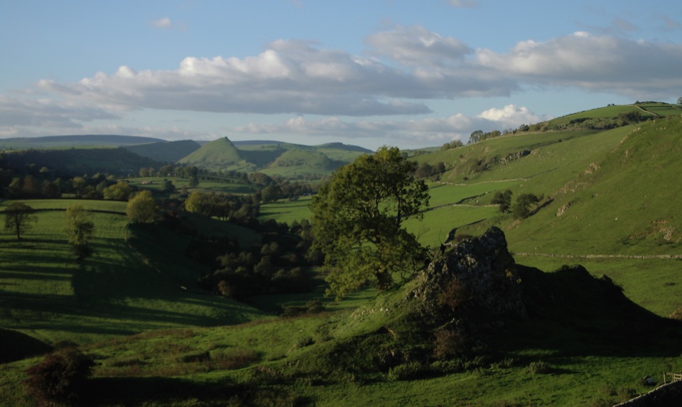 ModerateLongnor to Pilsbury Castle9.5 km · 3.5 hr · 9 km awayA castle-earthwork loop through the Upper Dove Valley
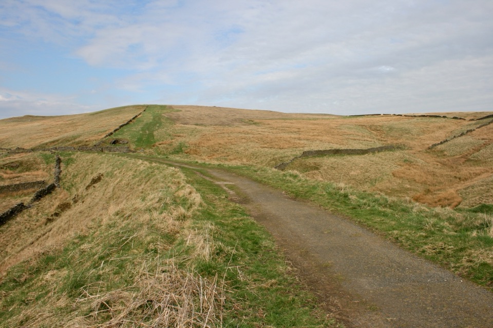 EasyGoyt Miles Without Stiles2 km · 45 min · 9.3 km awayA level old railway stroll to wide Goyt Valley views
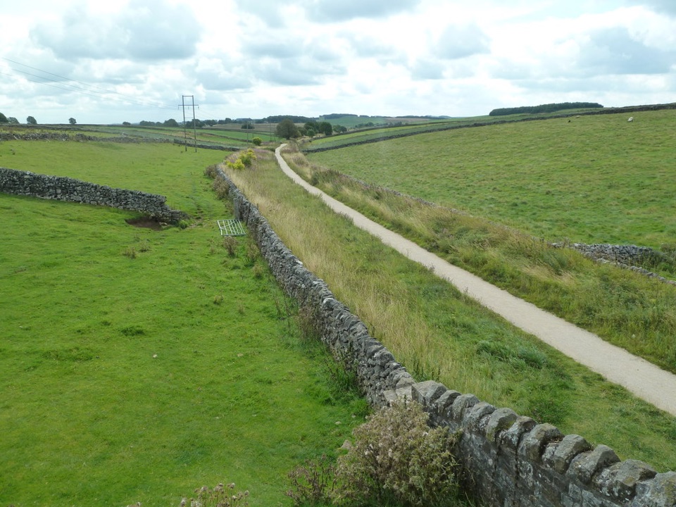 ModerateHigh Peak Trail28.2 km · 8 hr · 11.3 km awayTrace the old railway in one long crossing of the White Peak.
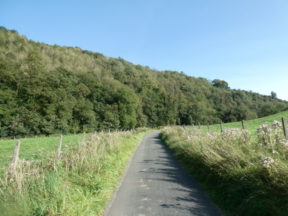 EasyManifold Way12.9 km · 4.3 hr · 12.4 km awayA gentle railway trail through valleys beneath Thor’s Cave.
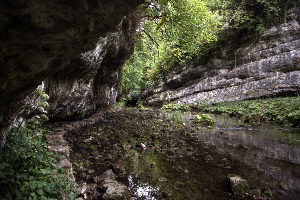 ModerateChee Dale Stepping Stones Circular6.9 km · 2.8 hr · 12.9 km awayStepping stones trace the River Wye beneath towering limestone cliffs.
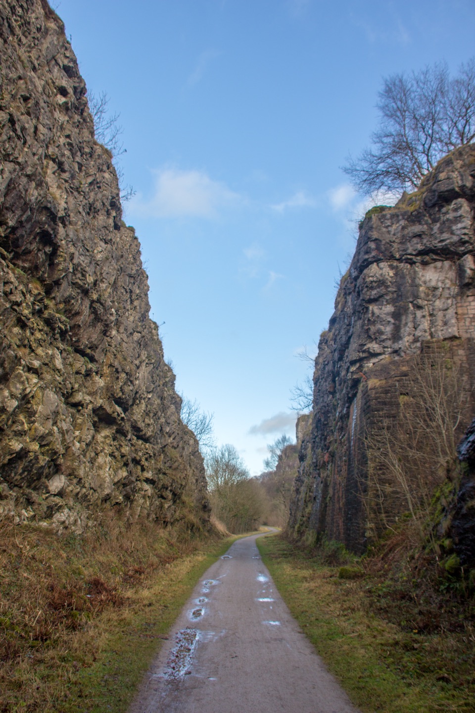 EasyMonsal Trail13.7 km · 3.5 hr · 13 km awayA level old railway, lined with limestone dales, viaducts, and tunnels.
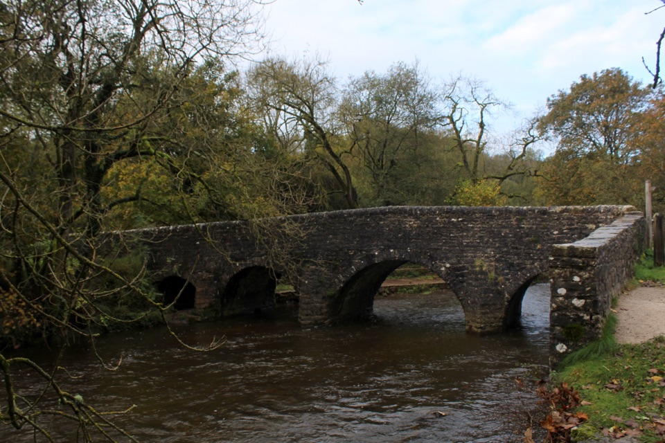 EasyPackhorses and Iron Horses4.3 km · 1.5 hr · 13.9 km awayA gentle valley loop past a packhorse bridge and railway tunnel
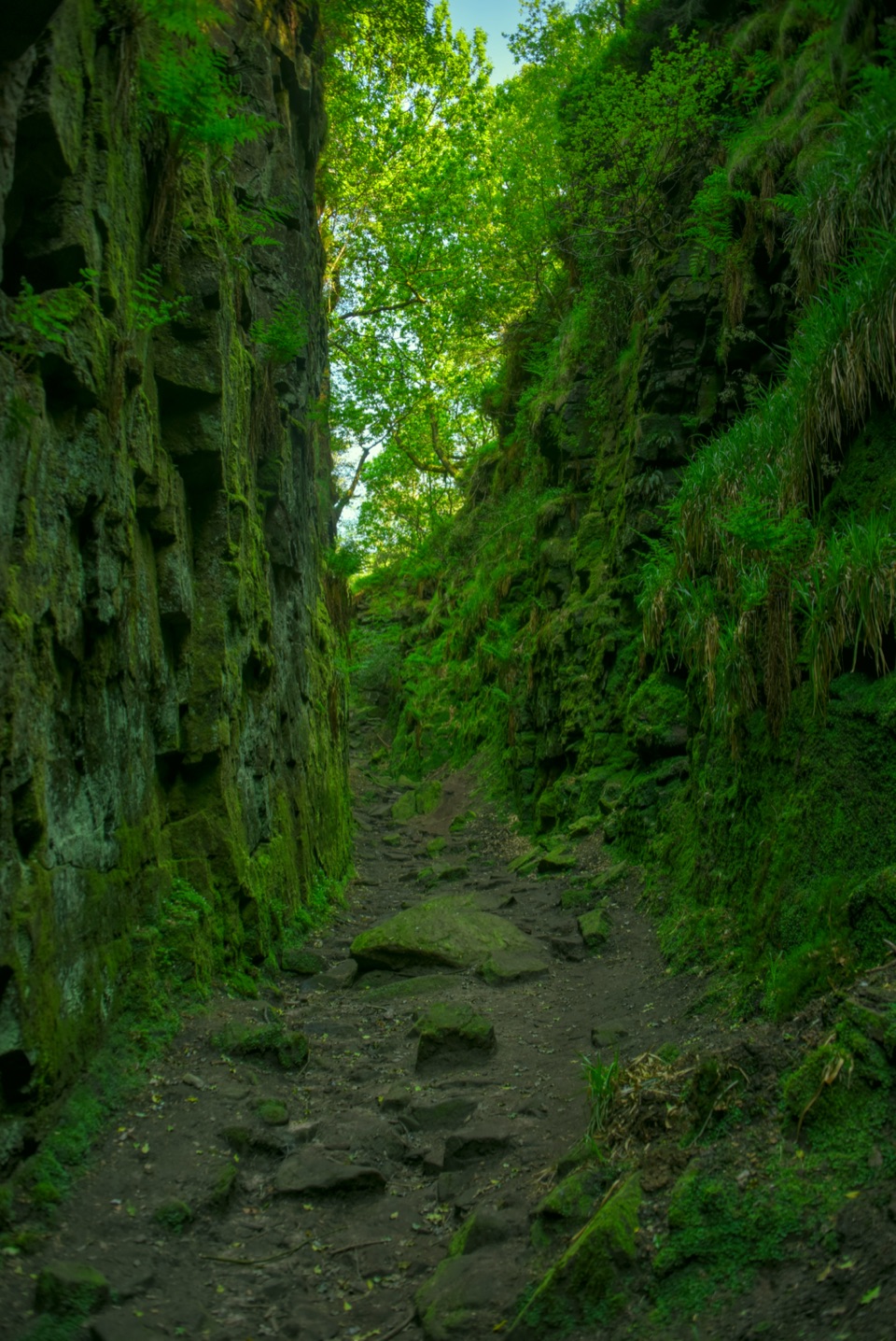 Sight · 1.3 km awayLud's ChurchA deep, moss-lined gritstone chasm hidden in Back Forest woodland
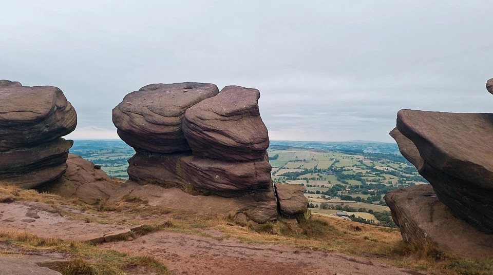 Sight · 2.3 km awayThe RoachesGritstone ridge of stacked crags, heather moor and wide valley views
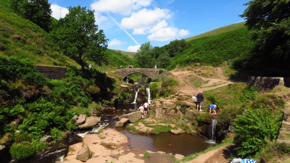 Sight · 2.6 km awayThree Shires HeadWhere three counties meet at a packhorse bridge and waterfalls
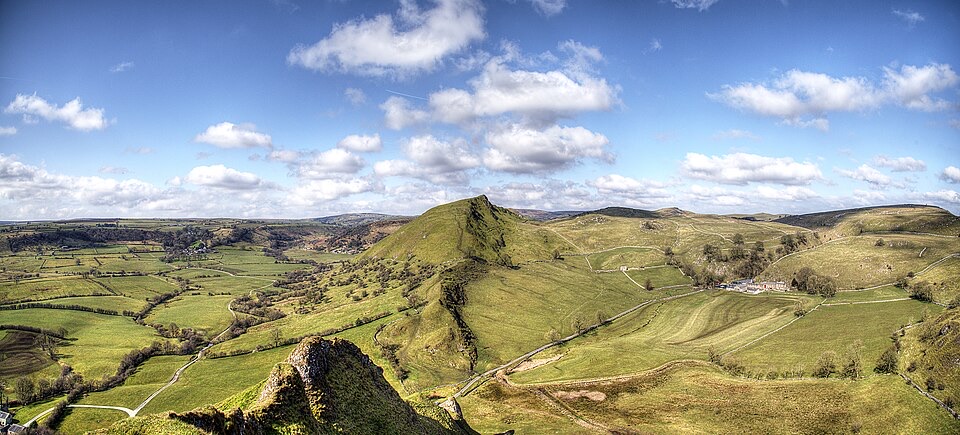 Sight · 7.2 km awayChrome HillSerrated limestone reef ridge rising like a dragon's back over pasture
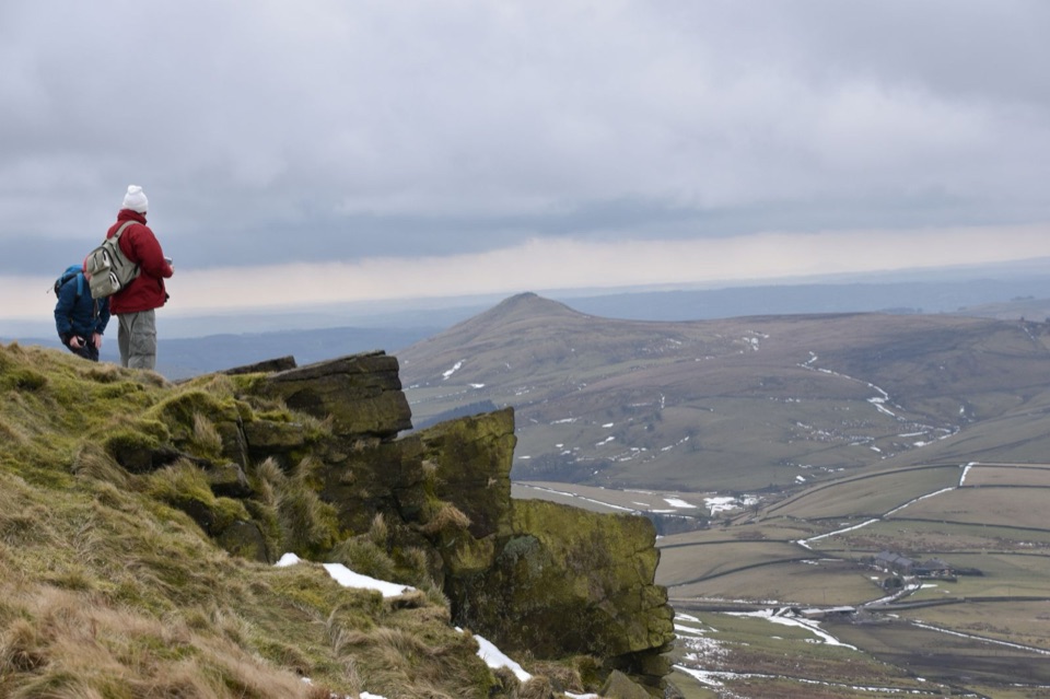 Sight · 7.5 km awayShining TorCheshire's highest point, a windswept ridge walk with wide moorland views
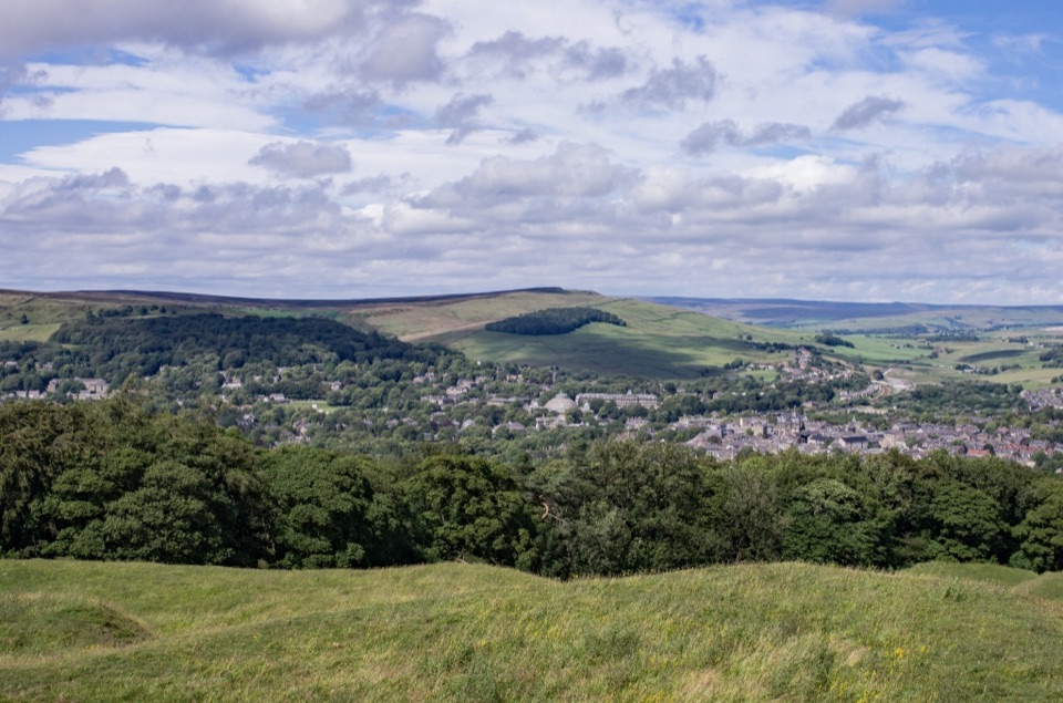 Sight · 7.8 km awaySolomon's TempleHilltop Victorian folly with wide views over Buxton and the hills
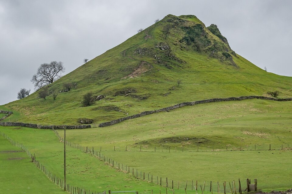 Sight · 8.1 km awayParkhouse HillFossil reef ridge with a steep scramble and Dragon's Back views
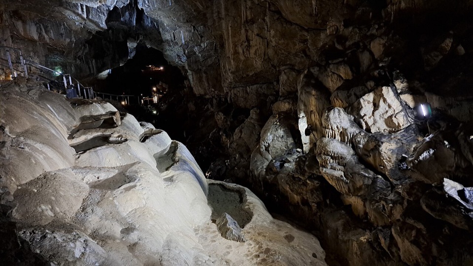 Sight · 8.2 km awayPoole's CavernAncient limestone chambers, poached-egg stalagmites, and a steady 7.5°C
Parkwolf’s Peak District ranking
The Roaches and Lud’s Church Circular from Hen CloudModerate · 12.2 km Mam Tor Circular WalkModerate · 4.8 km
 Castleton, Mam Tor & the Great Ridge WalkModerate · 10.5 km
 Stanage Edge from HathersageModerate · 10.6 km
 Kinder Scout Circular via Jacob’s LadderChallenging · 12.1 km
 Padley Gorge and Burbage Brook WalkEasy · 3.7 km
The audio tour guide for the drive, plus offline maps, trails, and wildlife heatmaps for when the signal drops.