Parking
Roach Road, south of Hen Cloud. Use the permitted roadside parking at the route’s stated start, grid reference SK006618, beside the signed footpath into the col. Spaces fill quickly on busy days; arrive early or later in the day.

#1 of 88 trails in Peak District
Peak District National Park, EN
A rocky ridge, big views and a shadowy chasm halfway round.
Overview
Map & elevation
Plan your hike

The highest, rockiest slopes around here are a summer buffet for grizzly bears.
Peak District Tour Guide
Parkwolf is a GPS audio tour guide for Peak District National Park. As you drive, it chimes in with what’s ahead: hidden gems, upcoming stops, history, geology, and wildlife, right through your car’s speakers.
Recorded for this trailhead
The Roaches and Lud’s Church“You’re approaching the Roach Road start for the Roaches and Lud’s Church walk. This is a proper half-day outing: about seven and a half miles and four and a half hours over steep, uneven ground.”
Plays as you drive up to this trailhead in the Parkwolf Peak District Tour Guide.
More stories near here in the app
“Fantastic app with many points of information… It’s great to just turn on while you’re driving and it gives you an audio tour of the national Park. We love it!!!!”


Trail guide
This 7.6-mile circular walk starts on Roach Road south of Hen Cloud, follows the Roaches ridge to Roach End, loops through Lud’s Church and returns to its starting point. It is a lollipop rather than a tidy circuit: the ridge approach is walked twice, with the church loop joining it in the middle. Allow about 4½ hours. This is a half-day commitment, but the change from open gritstone high ground to a dark, mossy woodland cleft keeps the walk varied.
A signed footpath leaves the lane and climbs through the gap between Hen Cloud and the Roaches. Follow it into the col, keeping the wall on your right; at the top, turn left through the next wall to reach the main ridge. The climb is steady, but the ground can be rough, muddy and uneven. Doxey Pool sits beside the ascent, and the path continues to the trig point at about 505 metres. From the ridge you can look over Tittesworth Reservoir, North Staffordshire, the Cloud and Cheshire. The crags beside the path are popular with climbers and boulderers. The route stays on the ridge path. For a photo, keep a rocky outcrop in the foreground with the wide view beyond; a bare horizon loses what makes this ridge distinctive. Continue north to Roach End, where the path meets a road.
Cross the road at Roach End and follow the signed path down towards Lud’s Church. At the first junction, take the left branch into the trees. The path leads to an 18-metre-deep rock cleft with mossy walls, steps and boardwalk; its narrow passages feel much darker than the open ridge. Mud can persist inside, and the rock becomes slippery after rain, so this is the slowest section. The often-repeated story that the cleft was a hidden fifteenth-century Lollard church is local belief, not settled history. After exploring, return to the path and continue west to a second point on the ridge, then follow the ridge back to Roach End. Cross the road there and retrace your approach over the Roaches to the same start.
Start from the permitted roadside parking on Roach Road at grid reference SK006618, by the signed path between Hen Cloud and the Roaches. This is roadside parking, not a large car park; spaces fill quickly on busy days, so an early or late start helps. The reserve is open at all times and dogs are allowed on leads. Expect a steep, uneven half-day walk rather than a gentle stroll to the chasm. If you mainly want Lud’s Church, a separate 2.4-mile return from Gradbach reaches the cleft without the ridge; it starts at a different access and does not visit the Roaches.
Wildlife
 248 sightingsRed DeerMost seen around 7 AMSighting map
 36 sightingsRed FoxMost seen around 6 AMSighting map
 15 sightingsEurasian OtterMost seen around 7 PMSighting map
 51 sightingsPeregrine FalconMost seen around 6 PMSighting map
 47 sightingsEuropean Fallow DeerMost seen around 6 AMSighting map
 54 sightingsWestern Roe DeerMost seen around 7 PMSighting map
Sighting maps show where each species has been reported across Peak District. Wildlife moves, so no sighting is guaranteed.
Keep exploring
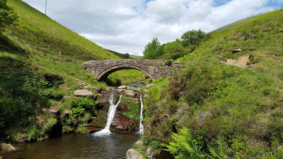 ModerateThree Shires Head Circular from Gradbach6.3 km · 2.5 hr · 4.5 km awayTwin falls and a packhorse bridge halfway around a farm loop.
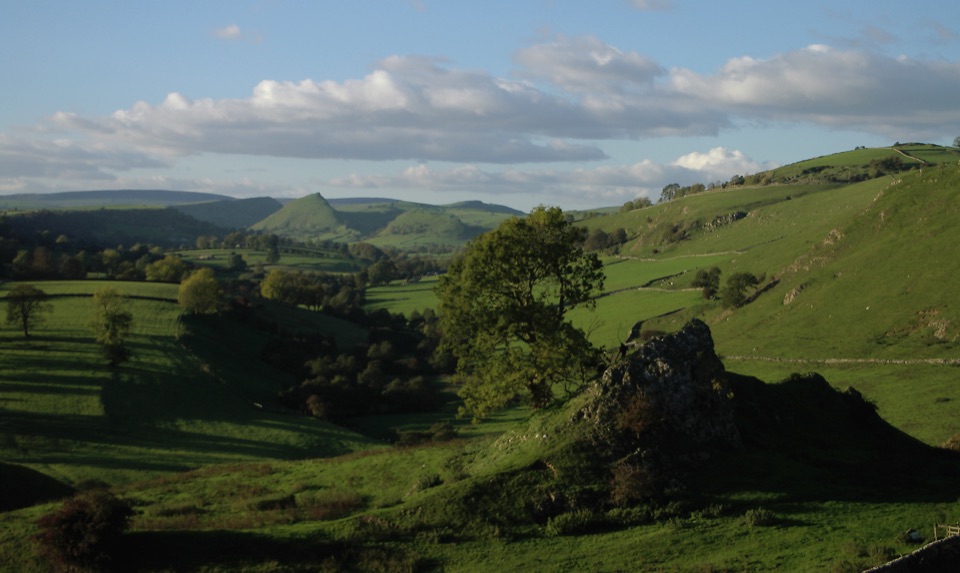 ModerateLongnor to Pilsbury Castle9.5 km · 3.5 hr · 8.7 km awayA castle-earthwork loop through the Upper Dove Valley
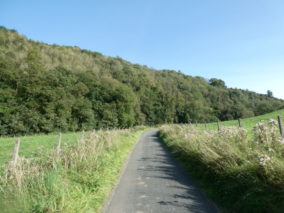 EasyManifold Way12.9 km · 4.3 hr · 9.9 km awayA gentle railway trail through valleys beneath Thor’s Cave.
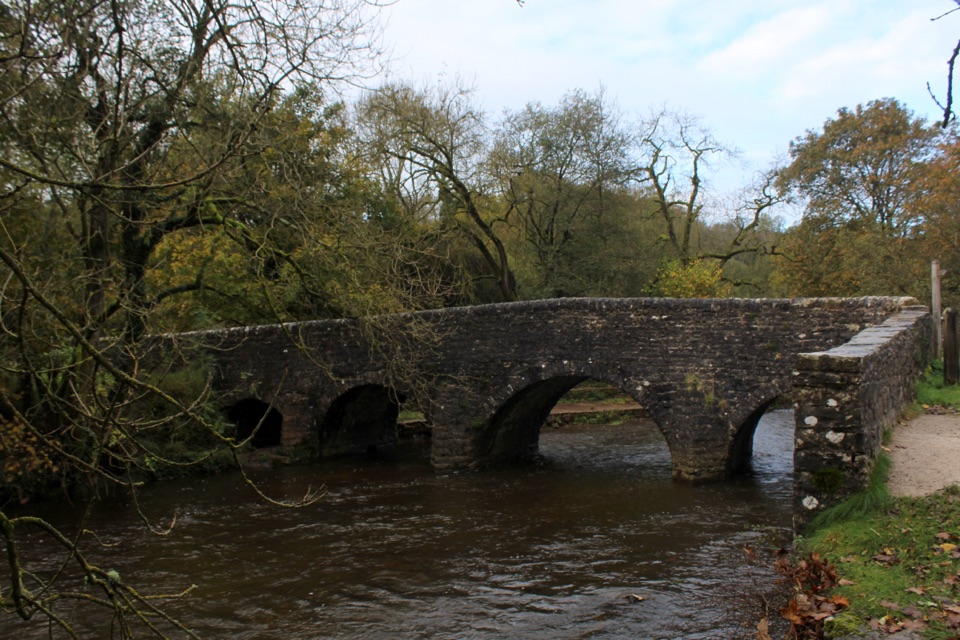 EasyPackhorses and Iron Horses4.3 km · 1.5 hr · 10.5 km awayA gentle valley loop past a packhorse bridge and railway tunnel
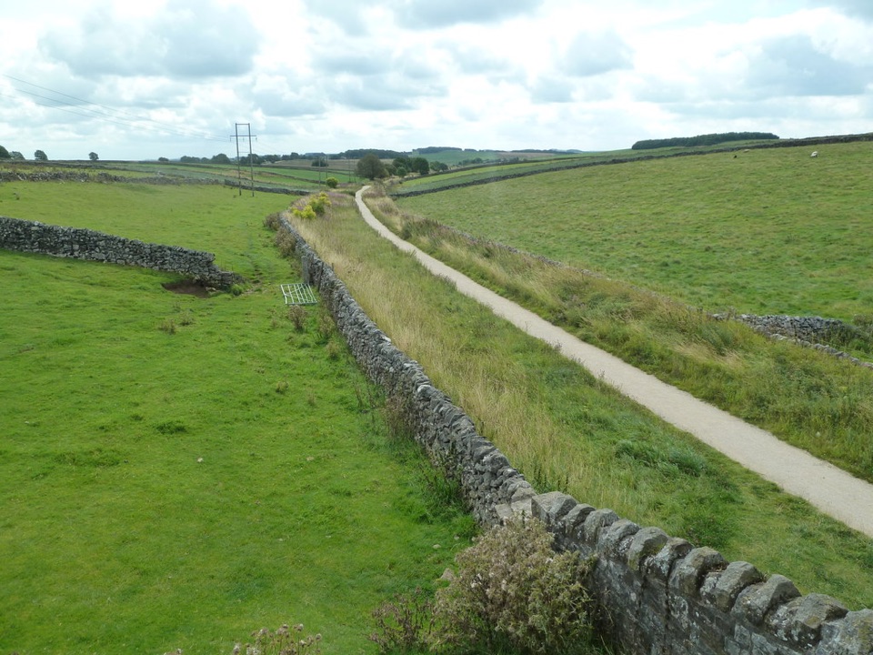 ModerateHigh Peak Trail28.2 km · 8 hr · 12 km awayTrace the old railway in one long crossing of the White Peak.ModerateHartington to Pilsbury Castle8.9 km · 3.1 hr · 12.1 km awayA Hartington out-and-back through the Dove valley to Pilsbury Castle.
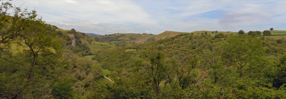 ModerateManifold Valley and Thor's Cave Circular Walk7.7 km · 3 hr · 12.2 km awayA limestone cave, river valley and steep return in one short loop.
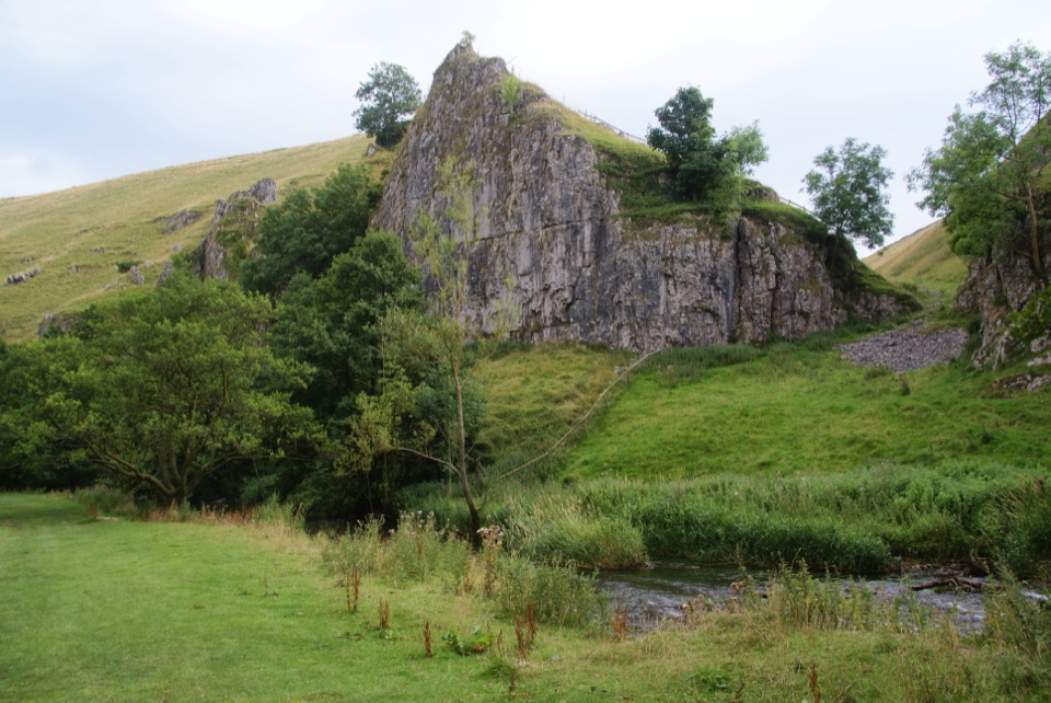 ModerateWolfscote Dale and Biggin Dale Circular8.7 km · 3.3 hr · 12.2 km awayFollow the Dove through three dales and two small caves
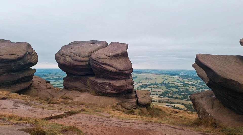 Sight · 2.2 km awayThe RoachesGritstone ridge of stacked crags, heather moor and wide valley views
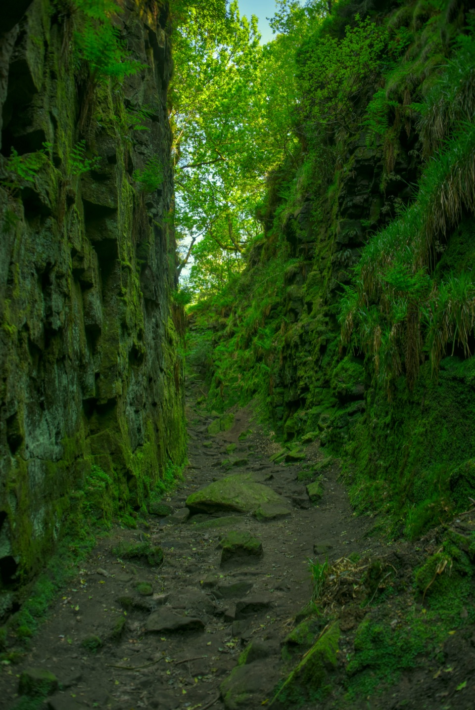 Sight · 4.3 km awayLud's ChurchA deep, moss-lined gritstone chasm hidden in Back Forest woodland
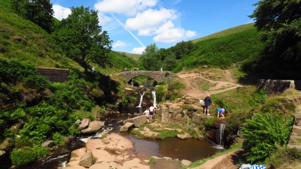 Sight · 6.8 km awayThree Shires HeadWhere three counties meet at a packhorse bridge and waterfalls
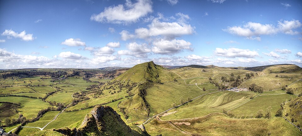 Sight · 8.5 km awayChrome HillSerrated limestone reef ridge rising like a dragon's back over pasture
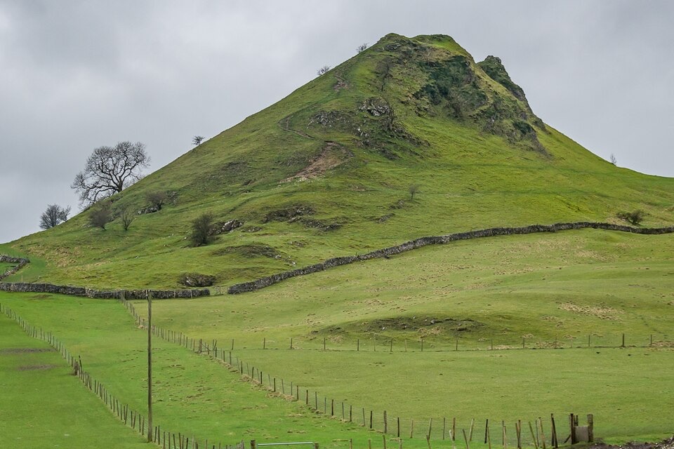 Sight · 8.9 km awayParkhouse HillFossil reef ridge with a steep scramble and Dragon's Back views
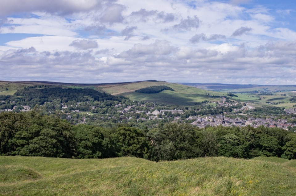 Sight · 11 km awaySolomon's TempleHilltop Victorian folly with wide views over Buxton and the hills
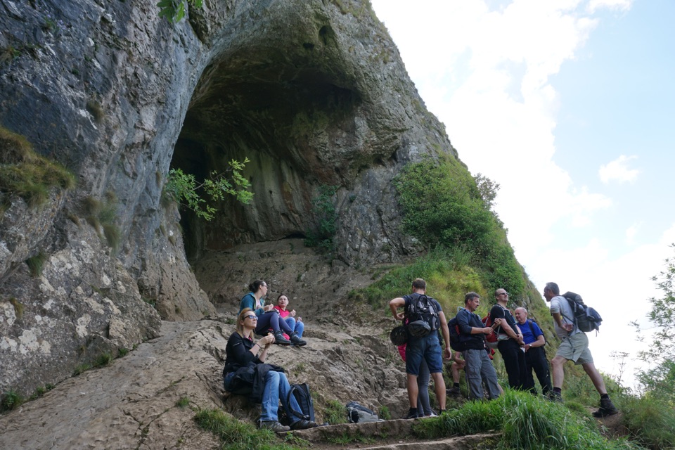 Sight · 11.4 km awayThor's CaveA gaping limestone cave mouth high above the Manifold Valley
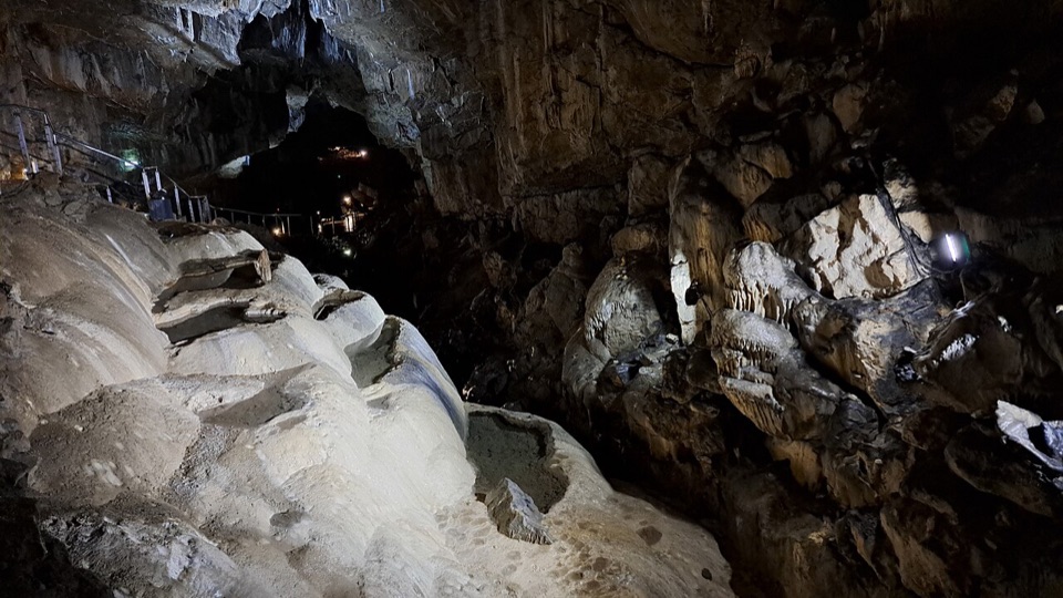 Sight · 11.6 km awayPoole's CavernAncient limestone chambers, poached-egg stalagmites, and a steady 7.5°C
Parkwolf’s Peak District ranking
 Mam Tor Circular WalkModerate · 4.8 km
 Castleton, Mam Tor & the Great Ridge WalkModerate · 10.5 km
 Stanage Edge from HathersageModerate · 10.6 km
 Kinder Scout Circular via Jacob’s LadderChallenging · 12.1 km
 Padley Gorge and Burbage Brook WalkEasy · 3.7 km
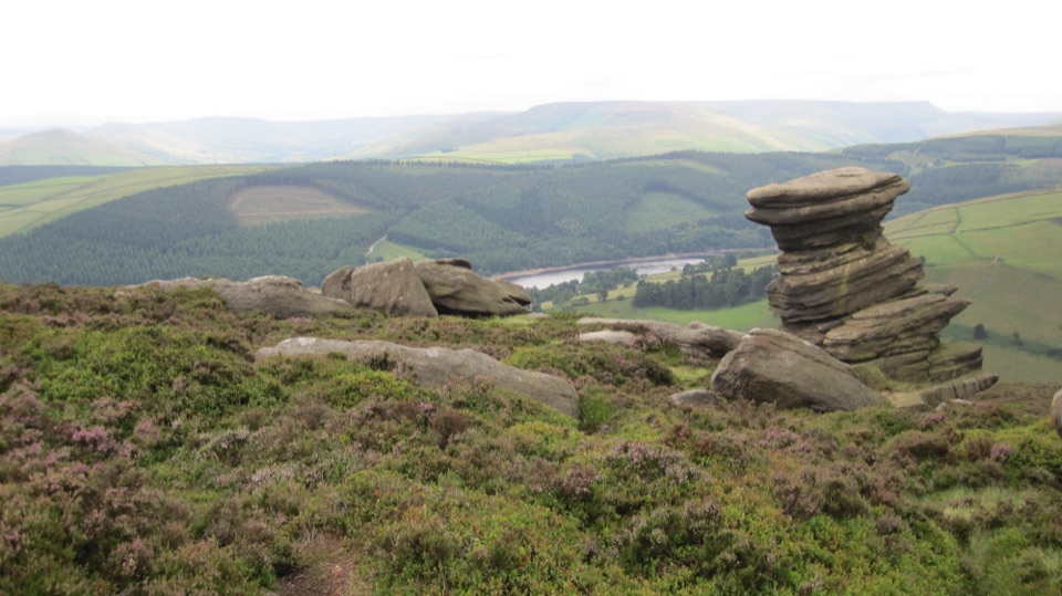 Derwent Edge Circular WalkModerate · 12.9 km
The audio tour guide for the drive, plus offline maps, trails, and wildlife heatmaps for when the signal drops.