Parking
Use Oddfellows Road car park in Hathersage. Walk to Main Street and take Baulk Lane opposite the petrol station, which is the route access. Hathersage railway station is also a workable start for this village loop.

#4 of 88 trails in Peak District
Peak District National Park, EN
Gritstone underfoot, climbers below, and the Hope Valley opening out.
Overview
On top, the walk changes character. Flat slabs, boulders, heather, and muddy patches make the section slower than the distance suggests, but the views keep changing. Look west over the Hope Valley and its green fields, then east across the open moors. Climbers work the gritstone faces below, while old millstones and quarry marks tell you what this rock was used for before it became one of England's best-known climbing venues. This route takes only part of the nearly four-mile edge, so you get the experience without committing to the whole escarpment. For a useful photo, keep a strip of rocky path in the foreground and let the edge run away across the moorland.
 Parkwolf’s verdictThe ridge is the payoff
Map & elevation
Plan your hike

The highest, rockiest slopes around here are a summer buffet for grizzly bears.
Peak District Tour Guide
Parkwolf is a GPS audio tour guide for Peak District National Park. As you drive, it chimes in with what’s ahead: hidden gems, upcoming stops, history, geology, and wildlife, right through your car’s speakers.
Recorded for this trailhead
Hathersage Village, Pool and Stories“You're coming up on Hathersage, a village I'd choose for a swim and a wander rather than one big landmark.”
Plays as you drive up to this trailhead in the Parkwolf Peak District Tour Guide.
More stories near here in the app
“Fantastic app with many points of information… It’s great to just turn on while you’re driving and it gives you an audio tour of the national Park. We love it!!!!”


Trail guide
Stanage Edge from Hathersage is a 6.6-mile circular walk from Baulk Lane, climbing out through fields and woodland to a section of the Stanage Edge escarpment before returning through pasture, tracks, and quiet lanes. Allow three to four hours at an ordinary pace, including time to stop on the ridge. It is a moderate walk with a proper climb out of the village and a rocky, uneven high section. Do this one when you want the approach as well as the view. If you only want a quick look at the edge, start closer at one of the estate car parks and save this longer village loop for a day when you have time.
The walk leaves Hathersage on Baulk Lane, then works through fields, gates, country lanes, and stretches of woodland. The lower miles are mostly grassy or firm tracks, but the route is not a smooth park path. Expect stiles and squeeze stiles, changing surfaces, and a steady climb that reveals the edge gradually rather than delivering it all at once. As you get higher, the ground opens onto moorland and the gritstone becomes the focus. The paths around the edge are informal, and the short scramble onto the rocks is the point where route-finding matters most. Keep the mapped line in view at forks instead of following every tempting trod.
Start at Baulk Lane in Hathersage. Use Oddfellows Road car park in the village, then walk to Main Street and take the lane opposite the petrol station. Hathersage station is another practical access for a village-start walk, though the estate access beyond the village is uphill. There are pubs, cafes, food shops, and public toilets in Hathersage, but no permanent food or drink facilities on the edge or at the main estate car parks. Dogs are allowed, but they must stay on a short lead at all times because of livestock and nesting wildlife. The estate has no accessible surfaced route, and pushchairs are not suitable for the rocky edge section. If the car parks nearer Stanage are full, do not park on verges: this walk starts in the village and works well without moving the car.
Wildlife
 248 sightingsRed DeerMost seen around 7 AMSighting map
 36 sightingsRed FoxMost seen around 6 AMSighting map
 15 sightingsEurasian OtterMost seen around 7 PMSighting map
 51 sightingsPeregrine FalconMost seen around 6 PMSighting map
 47 sightingsEuropean Fallow DeerMost seen around 6 AMSighting map
 54 sightingsWestern Roe DeerMost seen around 7 PMSighting map
Sighting maps show where each species has been reported across Peak District. Wildlife moves, so no sighting is guaranteed.
Keep exploring
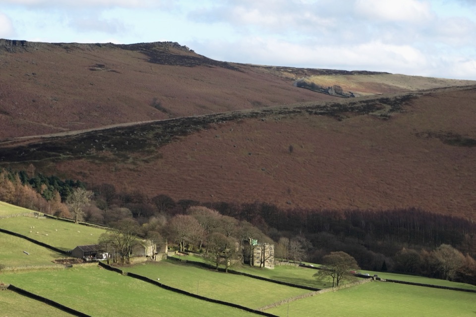 ModerateJane Eyre Hathersage Trail7.8 km · 3.5 hr · 0.2 km awayA literary loop with a steep climb onto Stanage Edge.
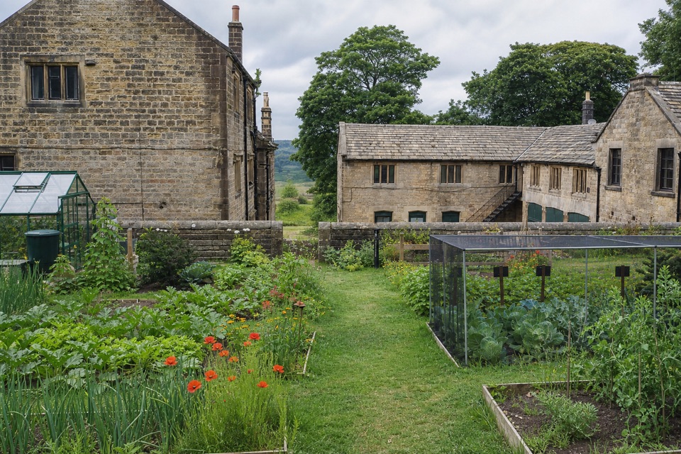 EasyOrange Route at Longshaw Estate2.7 km · 1 hr · 3.6 km awayA short, marked loop with a café beside the start.
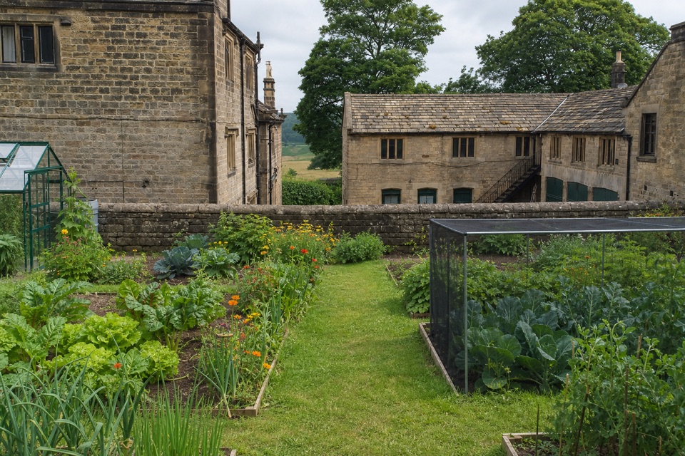 EasyBlue Route at Longshaw Estate4.5 km · 1.5 hr · 3.6 km awayAn old ice house and carved stone reward this gentle moorland loop.
 ModerateLongshaw Woodland Explorer Walk5.3 km · 2.3 hr · 3.6 km awayPond, packhorse track and a boulder-filled gorge in one loop.EasyPadley Gorge and Burbage Brook Walk3.7 km · 1.3 hr · 3.8 km awayA short woodland-and-stream loop with a surprisingly wild feel.
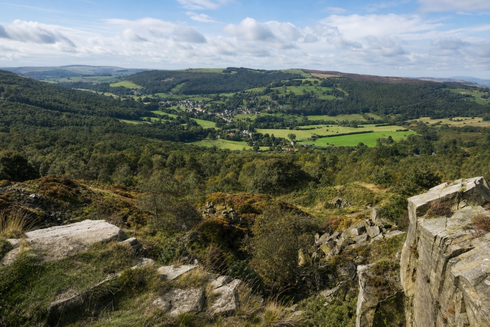 ModerateViews and Woodlands Walk at Longshaw8.4 km · 3.5 hr · 4.5 km awayWoodland paths, a boggy packhorse track, and a clifftop panorama.
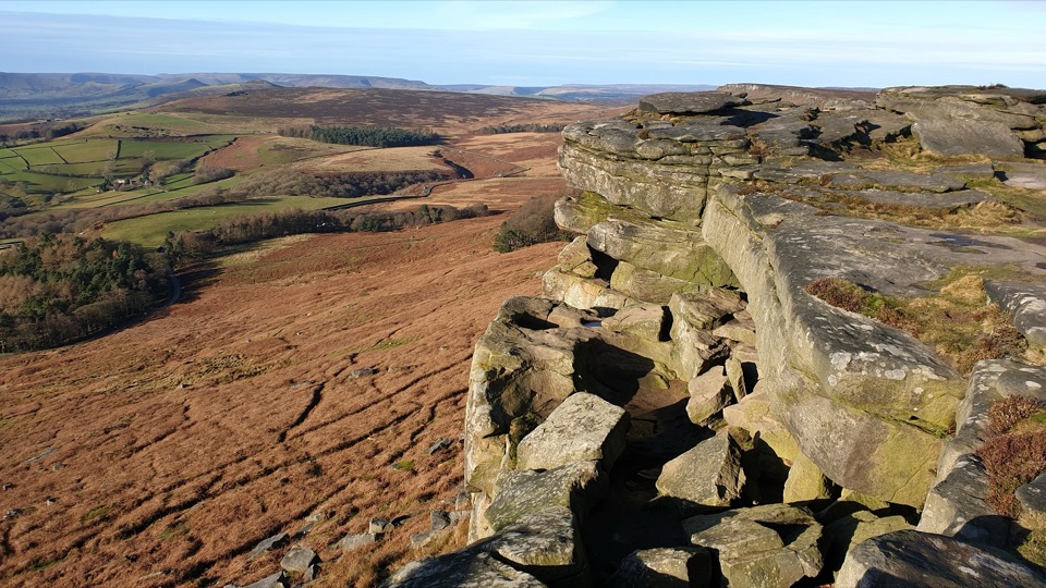 ModerateRedmires Reservoir, Stanage Edge and Hallam Moors Circular15 km · 4.8 hr · 4.7 km awayA long moorland loop linking Redmires, Stanage Edge and High Neb.
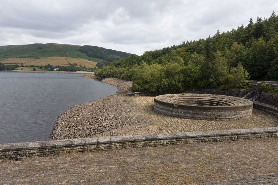 EasyThornhill Trail2.4 km · 45 min · 5 km awayA traffic-free railway trail beside Ladybower Reservoir
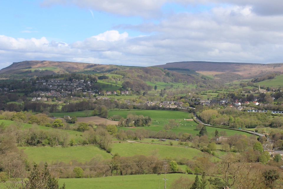 Sight · 0.1 km awayHathersageGritstone-edge village base with open-air pool and Jane Eyre echoes
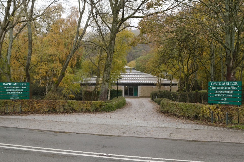 Sight · 0.6 km awayDavid Mellor Visitor CentreHandmade cutlery in a landmark round factory, plus a free museum
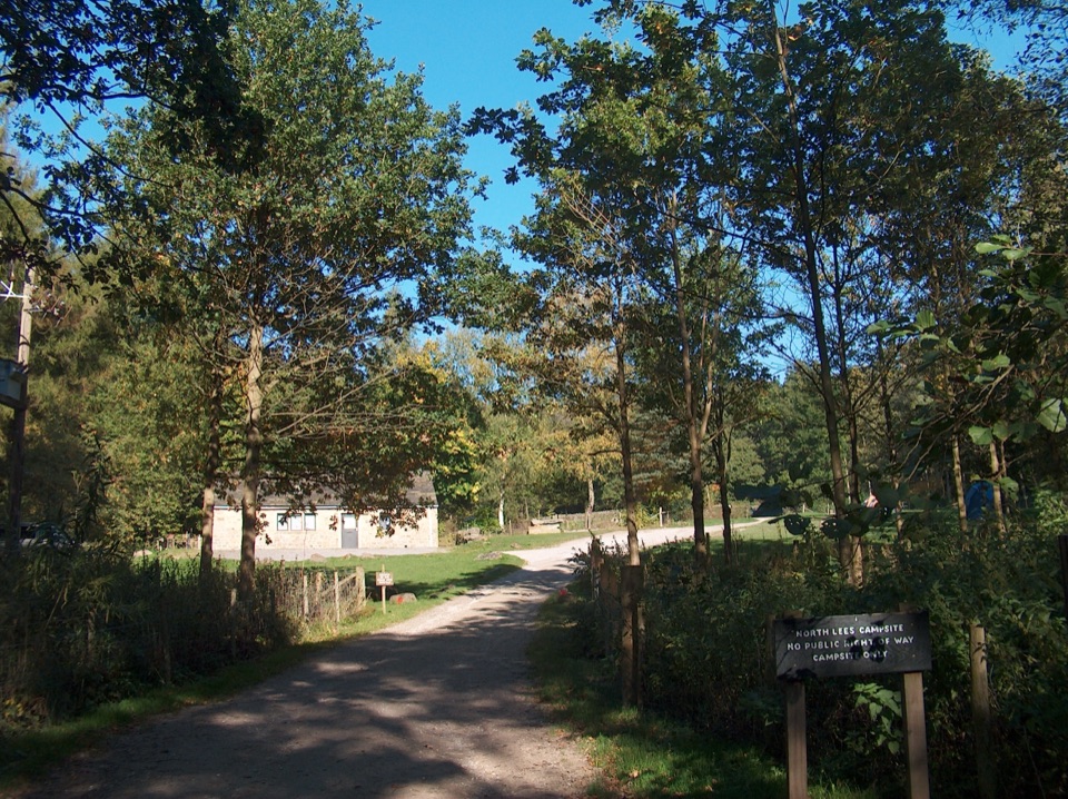 Campground · 1.7 km awayNorth Lees CampsiteQuiet valley pitches a short walk from climbing and moorland trails
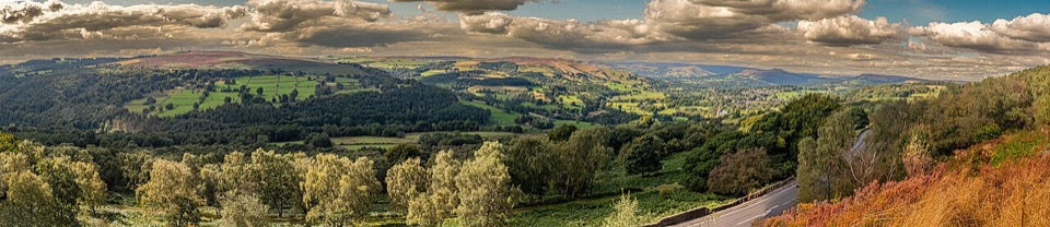 Sight · 2.3 km awaySurprise ViewWide Hope Valley panorama and gritstone rocks, a short climb up
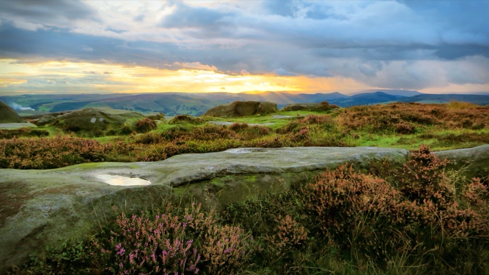 Sight · 2.5 km awayHigger TorBoulder-strewn gritstone plateau with huge views over Burbage Moor
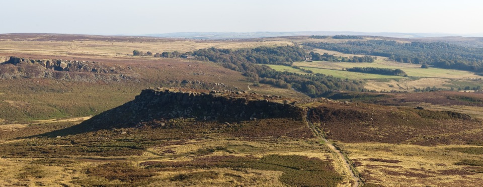 Sight · 2.7 km awayCarl WarkBelieved Iron Age hillfort perched on gritstone above open moorland
 Sight · 2.9 km awayStanage EdgeThree and a half miles of gritstone cliff above Hope Valley
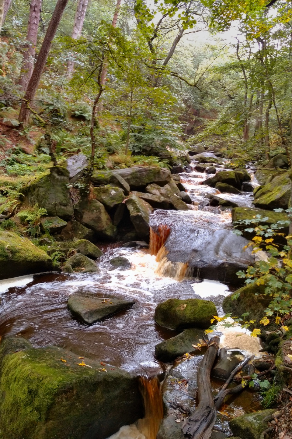 Sight · 3.2 km awayPadley GorgeMossy boulders, tumbling water and ancient oaks in a steep gorge
Parkwolf’s Peak District ranking
 The Roaches and Lud’s Church Circular from Hen CloudModerate · 12.2 km
 Mam Tor Circular WalkModerate · 4.8 km
 Castleton, Mam Tor & the Great Ridge WalkModerate · 10.5 km
 Kinder Scout Circular via Jacob’s LadderChallenging · 12.1 kmPadley Gorge and Burbage Brook WalkEasy · 3.7 km
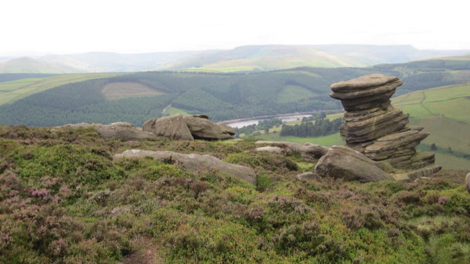 Derwent Edge Circular WalkModerate · 12.9 km
The audio tour guide for the drive, plus offline maps, trails, and wildlife heatmaps for when the signal drops.