Parking
For the Edale-station start, use Edale village car park beside the railway station; the route begins a short walk away. It is fee-paying and has public toilets. Mam Nick is a separate access and does not match this circuit’s stated start.

#5 of 88 trails in Peak District
Peak District National Park, EN
Old stone steps lead to Kinder Scout’s open gritstone edge.
Overview
Map & elevation
Plan your hike

The highest, rockiest slopes around here are a summer buffet for grizzly bears.
Peak District Tour Guide
Parkwolf is a GPS audio tour guide for Peak District National Park. As you drive, it chimes in with what’s ahead: hidden gems, upcoming stops, history, geology, and wildlife, right through your car’s speakers.
Recorded for this trailhead
Edale and Kinder Scout“Edale is coming up, the small village where the Pennine Way begins beneath Kinder Scout.”
Plays as you drive up to this trailhead in the Parkwolf Peak District Tour Guide.
More stories near here in the app
“Fantastic app with many points of information… It’s great to just turn on while you’re driving and it gives you an audio tour of the national Park. We love it!!!!”


Trail guide
Kinder Scout Circular via Jacob’s Ladder is a 7.5-mile (12 km) loop from Edale railway station, climbing from the Vale of Edale to the southern edge of Kinder Plateau before returning to the village by another hillside path. Allow 4.5 to 5.5 hours; about five is realistic for the steep ascent, rough high-level ground and pauses. This is a proper hill walk, not a quick summit stroll: the reward is a change from farm paths and an old packhorse climb to open moorland and gritstone tors. The circuit follows Kinder Scout’s southern and eastern edges but does not reach the highest point; routes to the summit are different walks.
From the station, walk through Edale to the Pennine Way, then continue past Upper Booth and along the River Noe. The valley approach gives you time to settle into the walk before the climbing starts. At Jacob’s Ladder, a stone bridge marks the foot of the steep packhorse track. Its lower steps are stone-set; higher up, the path becomes rougher and rockier. This was a trading route for lead, coal, salt and wool, used until the railway arrived in 1894. The old route is still very much under your feet: the climb is sustained, and wet stone can be slippery, so take it steadily rather than trying to race the steps.
Once above the climb, the route skirts the plateau rather than cutting across its boggiest interior. It follows surfaced path around recovering blanket bog, then heads east along the southern edge past Noe Stool, the Pagoda and the clustered gritstone shapes called the Wool Packs, continuing toward Crowden Tower. The tors are weathered into stacks and shoulders; the open ground gives long views, but little shelter. Turn back near the top of Jacob’s Ladder for a view down its steps toward Edale, and keep some path in photos of the rocks to show their scale. The return drops through Grindsbrook toward the village, with the Vale opening below. This descent is uneven and can be steep; after the high, stony edge it feels like a different walk, not an easy finish.
Start at Edale railway station. If driving, use Edale village car park by the station; the car park has public toilets, and the village is a short walk from the route’s stated start. The station-side Penny Pot café, village shop, Ramblers Inn and Old Nags Head are useful before or after the hike; there is no food stop on the high route. Dogs are allowed but must stay on a lead throughout. The upper moor can be boggy, and paths are harder to follow in poor visibility. Carry a detailed map and compass or reliable offline navigation, and bring footwear suited to rough, wet ground. This route is for hikers comfortable with a long day, a steep climb and exposed moorland navigation.
Wildlife
 248 sightingsRed DeerMost seen around 7 AMSighting map
 36 sightingsRed FoxMost seen around 6 AMSighting map
 15 sightingsEurasian OtterMost seen around 7 PMSighting map
 51 sightingsPeregrine FalconMost seen around 6 PMSighting map
 47 sightingsEuropean Fallow DeerMost seen around 6 AMSighting map
 54 sightingsWestern Roe DeerMost seen around 7 PMSighting map
Sighting maps show where each species has been reported across Peak District. Wildlife moves, so no sighting is guaranteed.
Keep exploring
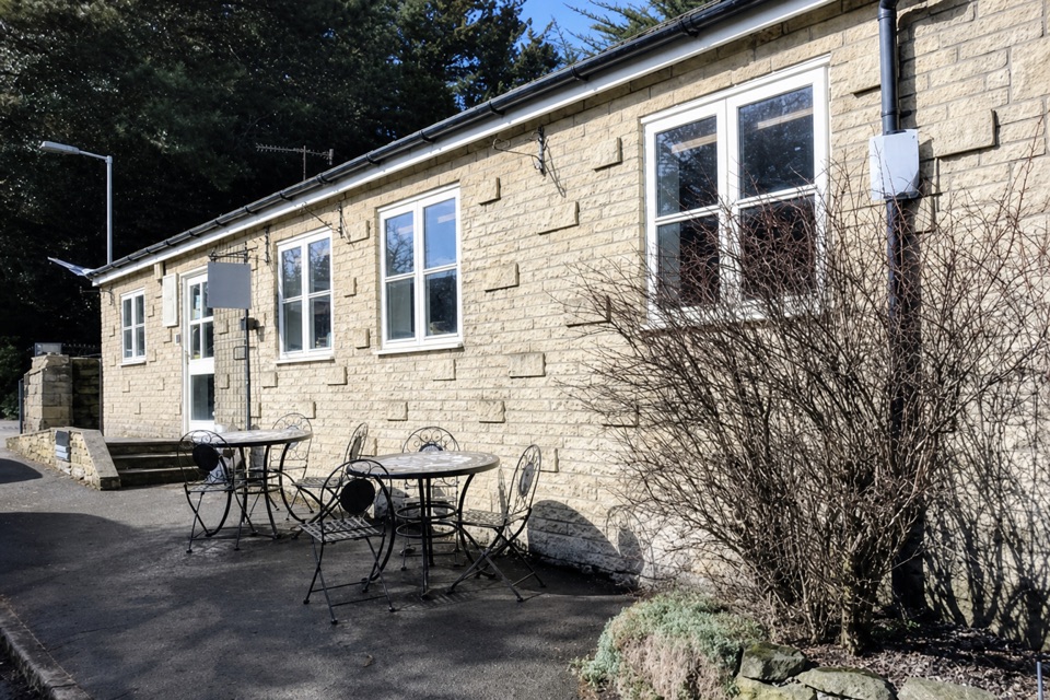 EasyEdale Circular Walk5.5 km · 1.8 hr · At the trailheadA gentle Pennine Way loop through fields and Edale village.
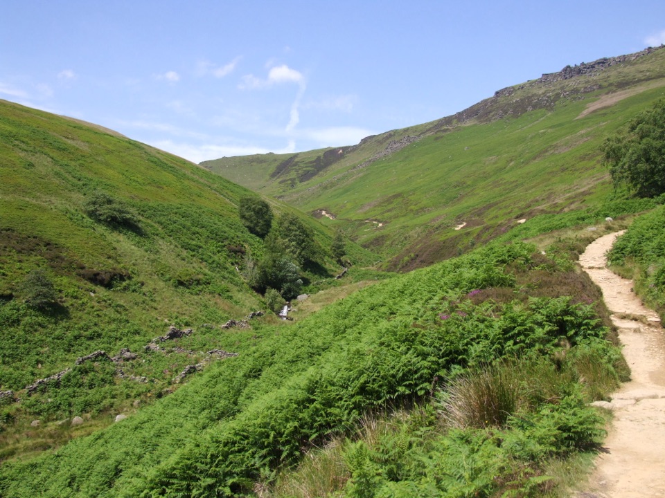 ChallengingKinder Scout via Grindsbrook Clough12.9 km · 5.5 hr · 0.1 km awayScramble up Grindsbrook, then cross Kinder’s open gritstone edge.
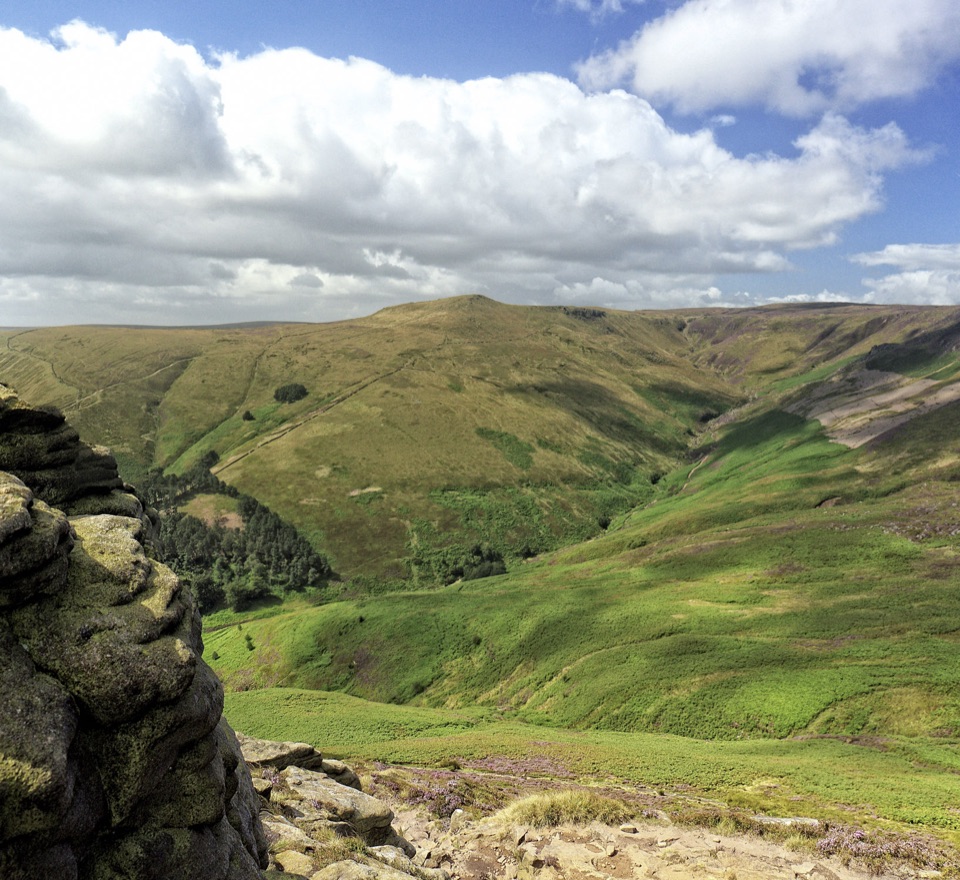 ModerateGrindslow Knoll via Ringing Roger Loop8.9 km · 4 hr · 0.1 km awayA rocky Kinder edge, Grindsbrook views, and a steep way home.
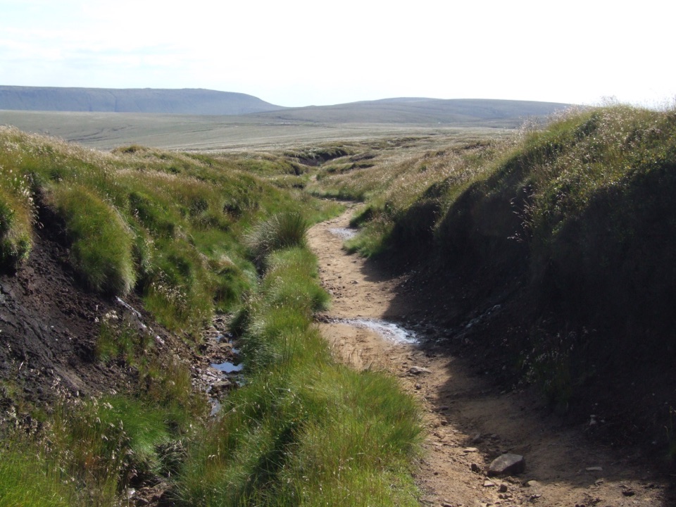 ChallengingPennine Way: Edale to Crowden25.7 km · 9 hr · 0.7 km awayA hard all-day crossing of Kinder Scout and Bleaklow.
 ModerateMam Tor Circular Walk4.8 km · 2 hr · 2.1 km awayA short, steep circuit with a big view over Edale.
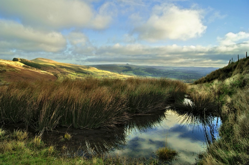 ModerateThe Great Ridge (Mam Tor to Lose Hill)8.2 km · 4 hr · 2.1 km awayA flagstoned skyline walk between two high Peak District summits
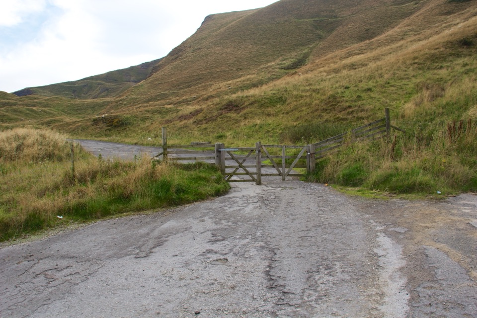 ModerateMam Tor Landslip Miles Without Stiles1.3 km · 30 min · 2.2 km awaySee the old road buckled by an ancient landslip.
 ModerateCastleton, Mam Tor & the Great Ridge Walk10.5 km · 4.5 hr · 3.5 km awayClimb the Shivering Mountain, then follow the ridge above two valleys.
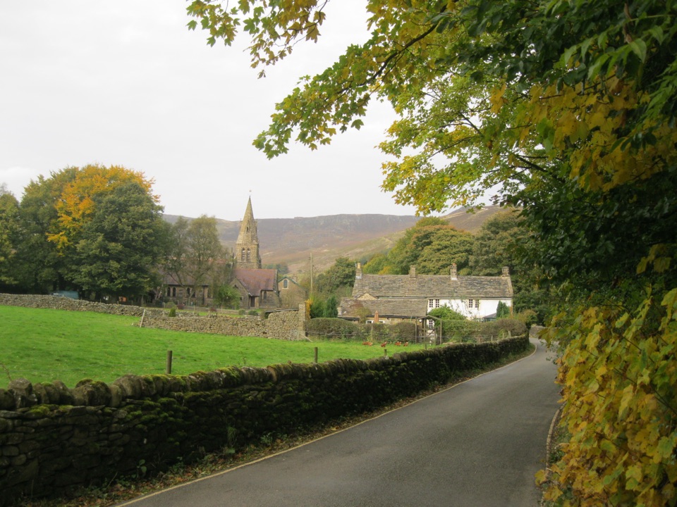 Sight · 0.3 km awayEdaleWhere the Pennine Way begins, beneath Kinder Scout's brooding moorland
 Sight · 1.8 km awayMam TorShort steep climb to a hillfort summit above the Hope Valley
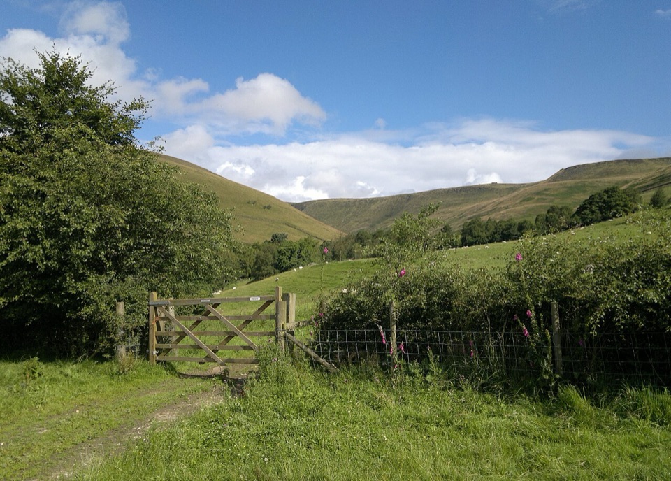 Campground · 1.9 km awayUpper Booth Farm CampsiteQuiet car-free camping fields below Kinder on the Pennine Way
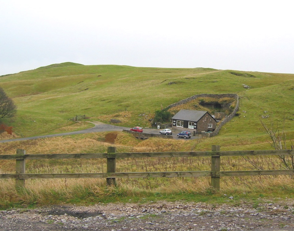 Sight · 2.3 km awayBlue John CavernHand-mined caverns holding eight of the world's fifteen Blue John veins
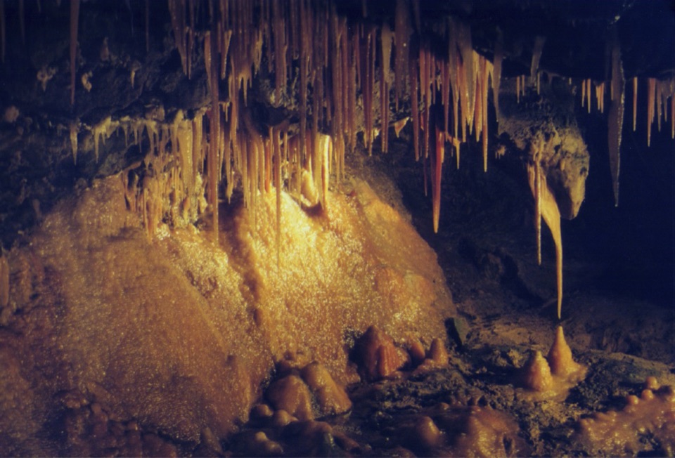 Sight · 2.6 km awayTreak Cliff CavernWorking Blue John mine, self-guided caves, and Hope Valley views
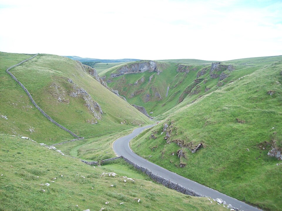 Sight · 2.8 km awayWinnats PassA narrow road plunges through towering limestone walls west of Castleton
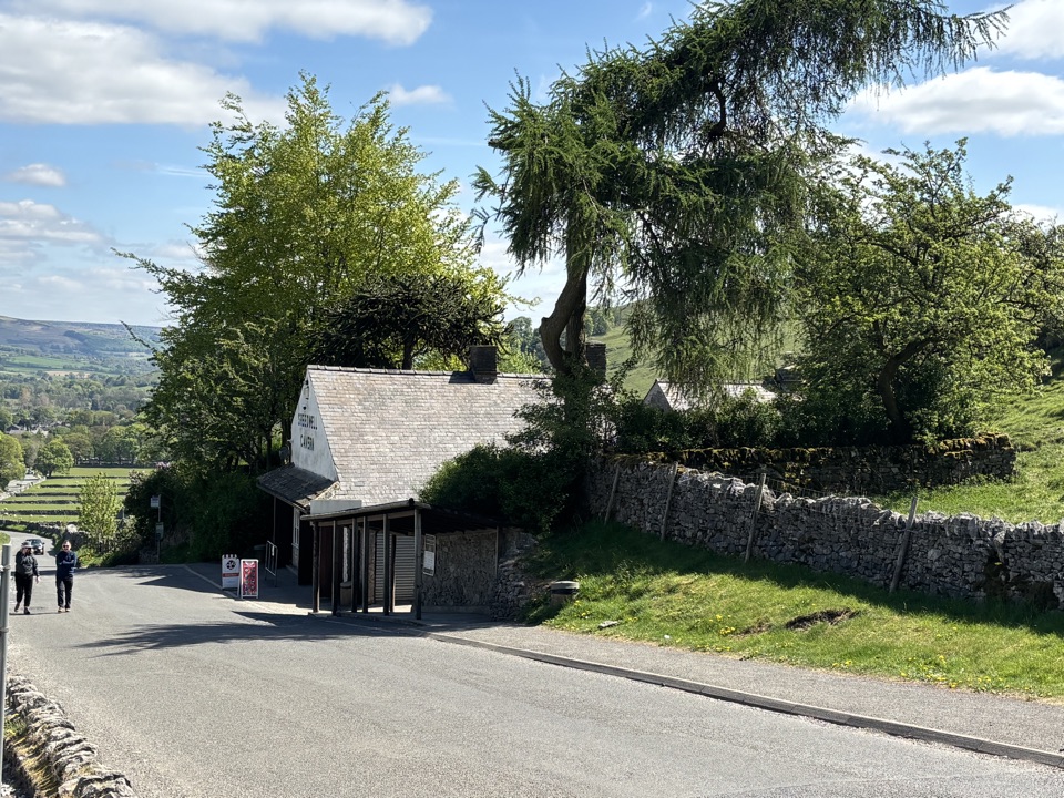 Sight · 3.1 km awaySpeedwell CavernBoard a boat 200 metres underground in an 18th-century lead mine
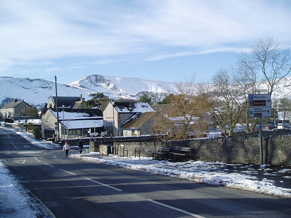 Visitor center · 3.6 km awayCastleton National Park CentreStart Hope Valley walks here, with maps, exhibition, shop and cafe
Parkwolf’s Peak District ranking
 The Roaches and Lud’s Church Circular from Hen CloudModerate · 12.2 kmMam Tor Circular WalkModerate · 4.8 kmCastleton, Mam Tor & the Great Ridge WalkModerate · 10.5 km
 Stanage Edge from HathersageModerate · 10.6 km
 Padley Gorge and Burbage Brook WalkEasy · 3.7 km
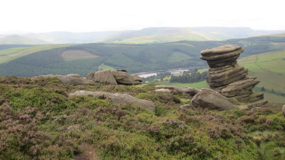 Derwent Edge Circular WalkModerate · 12.9 km
The audio tour guide for the drive, plus offline maps, trails, and wildlife heatmaps for when the signal drops.