Parking
Start at Mam Nick car park on the south-west side of Mam Tor. It is very small, and nearby car parks fill early during peak periods. Parking is paid for non-members.

#2 of 88 trails in Peak District
Peak District National Park, EN
A short, steep circuit with a big view over Edale.
Overview
Map & elevation
Plan your hike

The highest, rockiest slopes around here are a summer buffet for grizzly bears.
Peak District Tour Guide
Parkwolf is a GPS audio tour guide for Peak District National Park. As you drive, it chimes in with what’s ahead: hidden gems, upcoming stops, history, geology, and wildlife, right through your car’s speakers.
Recorded for this trailhead
Mam Tor and the Great Ridge“You're approaching Mam Tor, where the climb from Mam Nick car park is short but steep and pays off with views over Edale and the Hope Valley.”
Plays as you drive up to this trailhead in the Parkwolf Peak District Tour Guide.
More stories near here in the app
“Fantastic app with many points of information… It’s great to just turn on while you’re driving and it gives you an audio tour of the national Park. We love it!!!!”


Trail guide
Mam Tor Circular Walk is a 3-mile (4.8 km) loop from Mam Nick car park, climbing to Mam Tor and following the Great Ridge north to Hollins Cross before returning by the old landslip road and Windy Knoll. Allow about two hours. This is the short version of Mam Tor’s famous ridge country: a summit, a wide look over Edale and a close view of the ground that earned the hill its “Shivering Mountain” nickname. It gives you the high point and a varied return without extending north over Back Tor and Lose Hill. The climb is the price of the view, but the route changes character on the way back, so it feels like a complete walk rather than a summit dash.
From the small Mam Nick car park, steps beside the road lead through a gate to the stone-surfaced path. It rises sharply in places, with broad stone pitches and flights of steps on the approach to the summit. The path is well defined, but the climb is sustained enough that you’ll notice it even though the distance is short. Near the top the view opens toward Edale; at the summit, look north across the valley to Kinder Scout and the Derwent Moors. For a photo, frame the flagstone ridge with the open valley behind it when the clouds lift. Then stay on the paved ridge path north. It undulates as it descends to the small monument at Hollins Cross, the low saddle between the valleys. This is the turn for the short loop; continuing north toward Back Tor makes it a different, longer walk.
From Hollins Cross, the route turns off the crest and drops toward the wooded slope, then joins the buckled section of old A625. Landslips repeatedly shifted the hillside; the road was abandoned in 1977, and through traffic moved to Winnats Pass. Those moving layers are behind Mam Tor’s “Shivering Mountain” name. Walking the tilted, broken surface is a sharp change from the stone path above and gives the loop its most unusual stretch. Stay on the marked line where the old road meets the hillside. The route passes the Blue John Cavern access, then crosses grassy ground and fields near Windy Knoll before returning along the roadside verge. Blue John, the banded fluorspar mined in nearby caverns, belongs to a separate show-cave visit rather than a stop included in the walking route.
Most of the circuit is on good paths, but the steep climb, several gates and stiles, and wet stone steps make it more than a casual viewpoint stop. Rain can leave steep sections slick, and the open ridge is exposed to wind. Dogs are allowed on leads. This is not a wheelchair route: a separate 650 m “Access for Some” stretch follows the old landslip road, but that applies to a short road walk, not this whole circuit. No food stop is part of the loop, so arrange refreshments in Castleton separately. Start and finish at Mam Nick; its car park is very small, and nearby lots can fill early at peak times. If you only want the summit view, climb to the top and return by the same stone path. That skips Hollins Cross and the broken-road return, but also misses the loop’s change of scenery.
Wildlife
 248 sightingsRed DeerMost seen around 7 AMSighting map
 36 sightingsRed FoxMost seen around 6 AMSighting map
 15 sightingsEurasian OtterMost seen around 7 PMSighting map
 51 sightingsPeregrine FalconMost seen around 6 PMSighting map
 47 sightingsEuropean Fallow DeerMost seen around 6 AMSighting map
 54 sightingsWestern Roe DeerMost seen around 7 PMSighting map
Sighting maps show where each species has been reported across Peak District. Wildlife moves, so no sighting is guaranteed.
Keep exploring
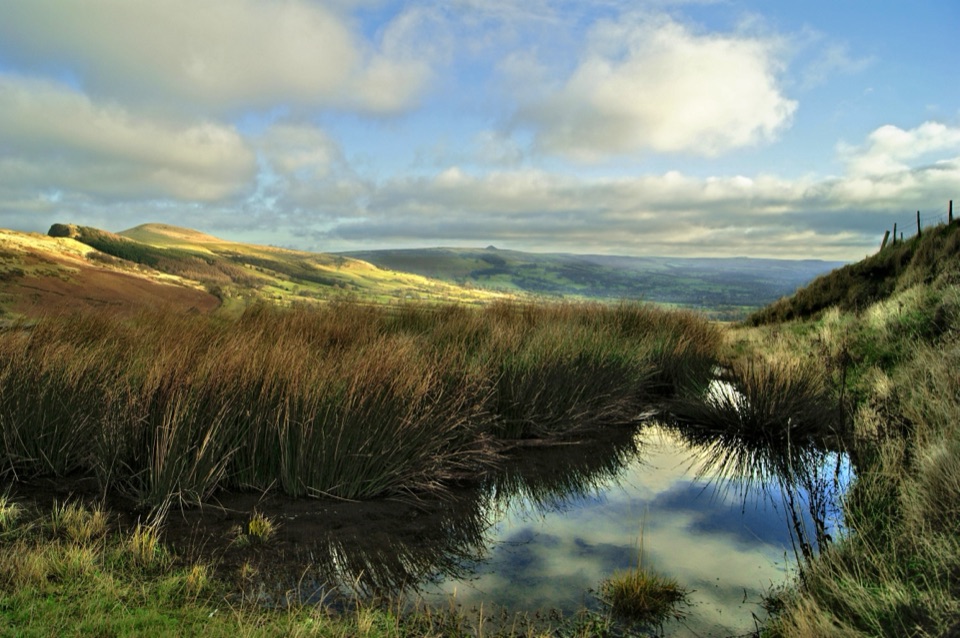 ModerateThe Great Ridge (Mam Tor to Lose Hill)8.2 km · 4 hr · At the trailheadA flagstoned skyline walk between two high Peak District summits
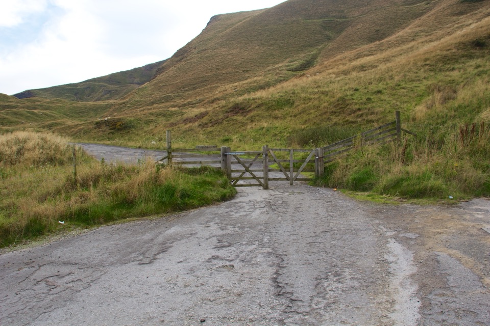 ModerateMam Tor Landslip Miles Without Stiles1.3 km · 30 min · 1 km awaySee the old road buckled by an ancient landslip.
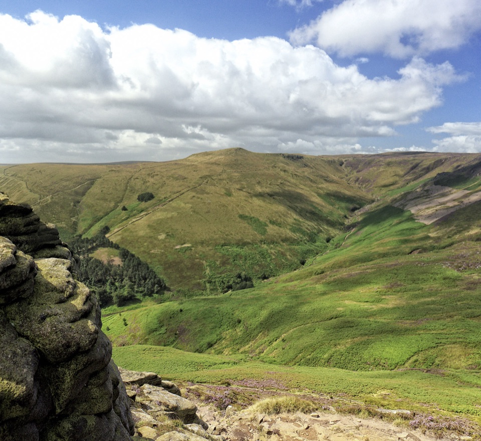 ModerateGrindslow Knoll via Ringing Roger Loop8.9 km · 4 hr · 2 km awayA rocky Kinder edge, Grindsbrook views, and a steep way home.
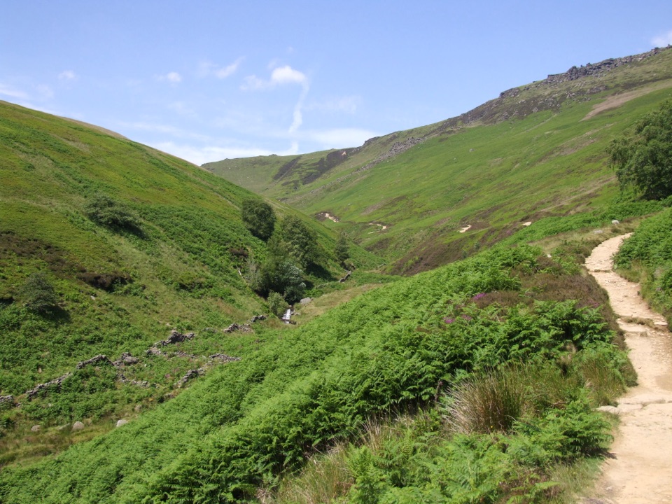 ChallengingKinder Scout via Grindsbrook Clough12.9 km · 5.5 hr · 2.1 km awayScramble up Grindsbrook, then cross Kinder’s open gritstone edge.
 ChallengingKinder Scout Circular via Jacob’s Ladder12.1 km · 5 hr · 2.1 km awayOld stone steps lead to Kinder Scout’s open gritstone edge.
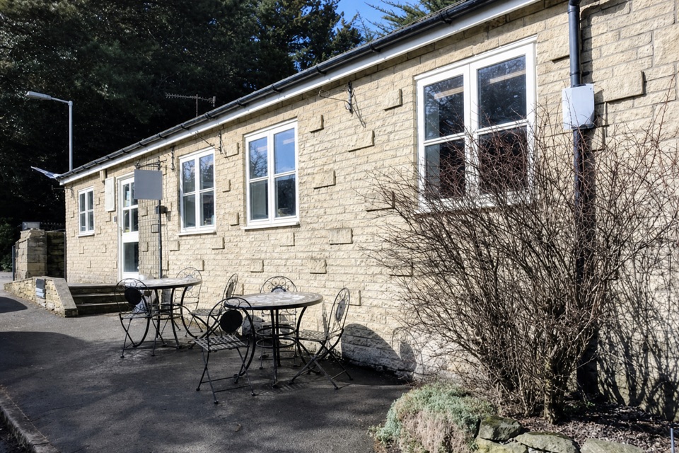 EasyEdale Circular Walk5.5 km · 1.8 hr · 2.1 km awayA gentle Pennine Way loop through fields and Edale village.
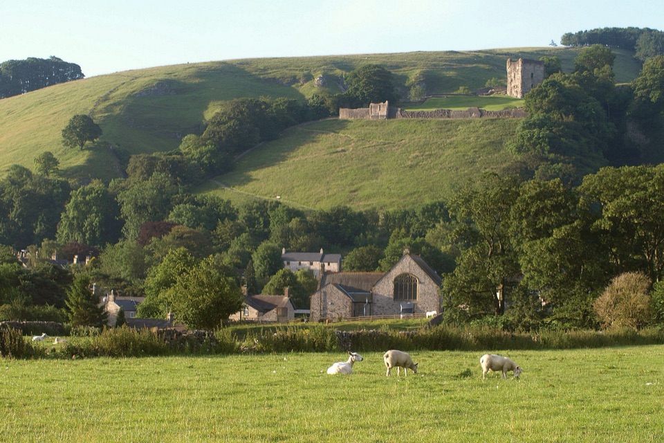 EasyCastleton Family Walk2.7 km · 51 min · 2.5 km awayA gentle village loop with fields, castle views and a tiny stream.
 ModerateCastleton, Mam Tor & the Great Ridge Walk10.5 km · 4.5 hr · 2.5 km awayClimb the Shivering Mountain, then follow the ridge above two valleys.
 Sight · 0.5 km awayMam TorShort steep climb to a hillfort summit above the Hope Valley
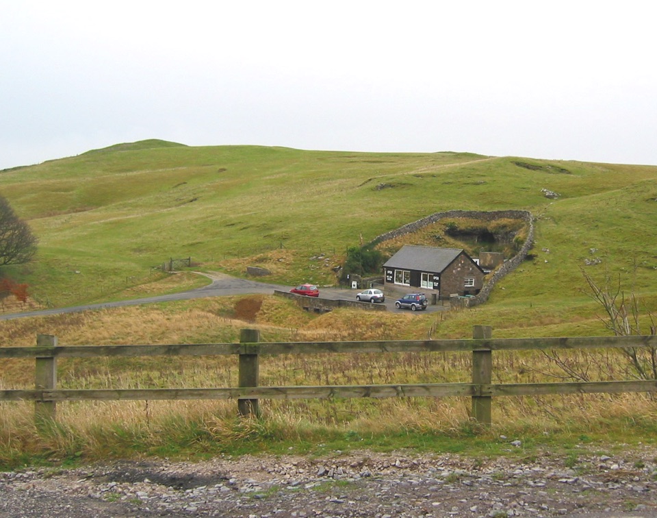 Sight · 0.8 km awayBlue John CavernHand-mined caverns holding eight of the world's fifteen Blue John veins
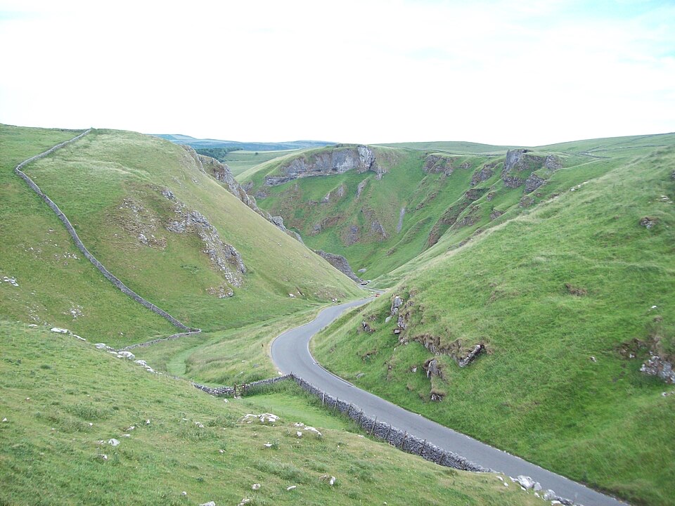 Sight · 1.1 km awayWinnats PassA narrow road plunges through towering limestone walls west of Castleton
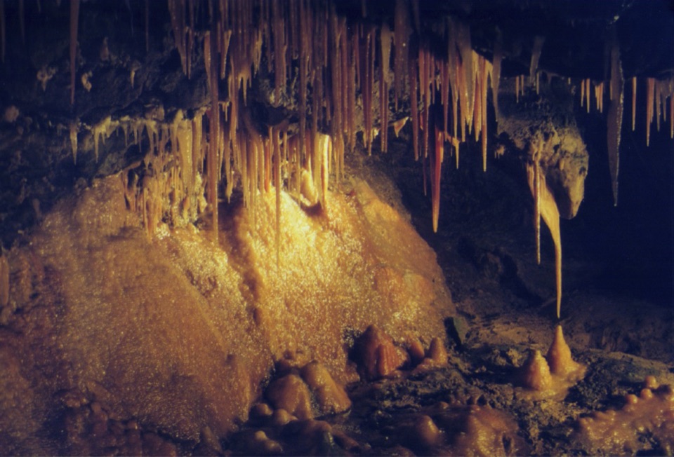 Sight · 1.2 km awayTreak Cliff CavernWorking Blue John mine, self-guided caves, and Hope Valley views
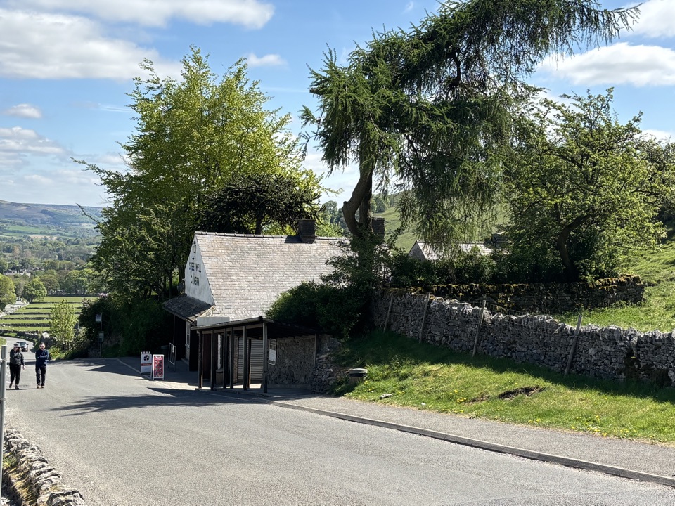 Sight · 1.6 km awaySpeedwell CavernBoard a boat 200 metres underground in an 18th-century lead mine
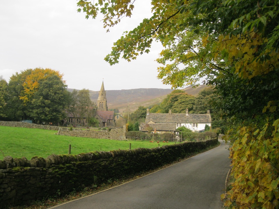 Sight · 2.4 km awayEdaleWhere the Pennine Way begins, beneath Kinder Scout's brooding moorland
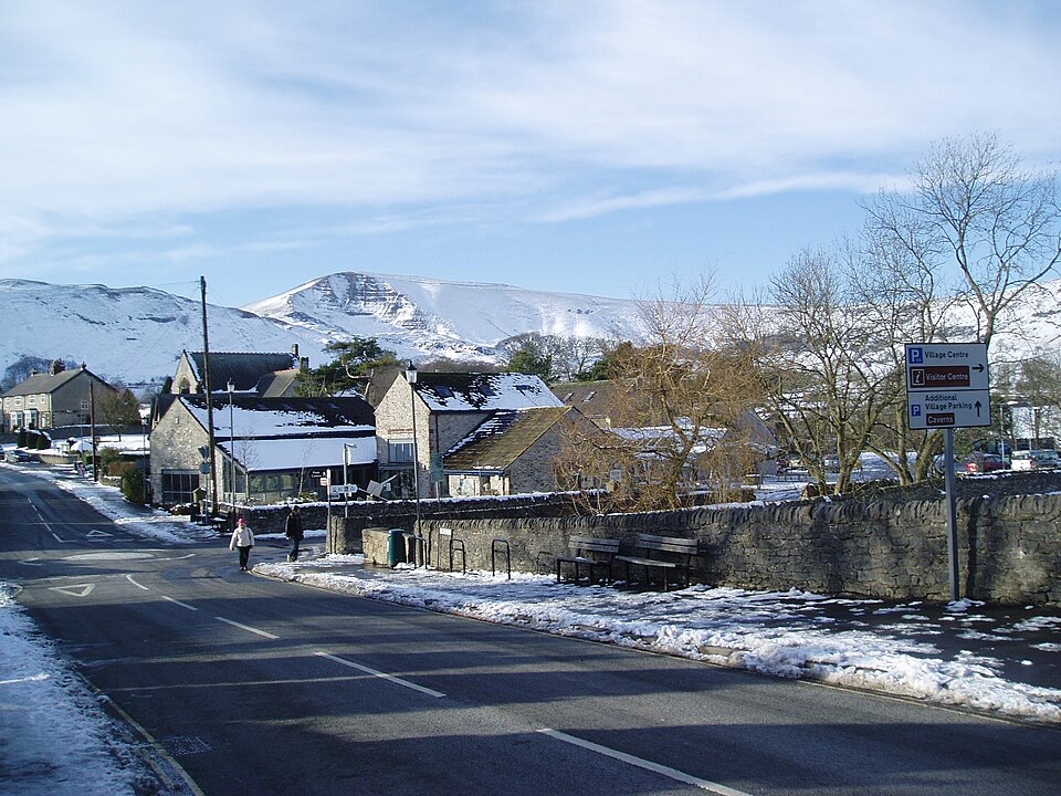 Visitor center · 2.5 km awayCastleton National Park CentreStart Hope Valley walks here, with maps, exhibition, shop and cafe
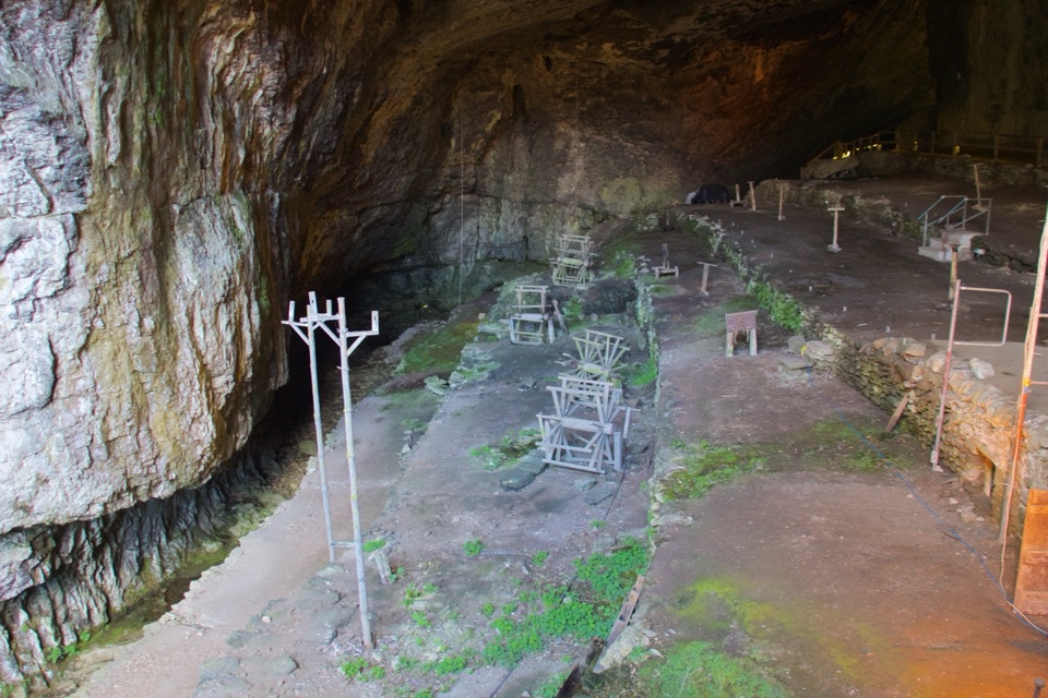 Sight · 2.5 km awayPeak CavernThe British Isles' largest cave entrance, and a rope-makers' village
Parkwolf’s Peak District ranking
 The Roaches and Lud’s Church Circular from Hen CloudModerate · 12.2 kmCastleton, Mam Tor & the Great Ridge WalkModerate · 10.5 km
 Stanage Edge from HathersageModerate · 10.6 kmKinder Scout Circular via Jacob’s LadderChallenging · 12.1 km
 Padley Gorge and Burbage Brook WalkEasy · 3.7 km
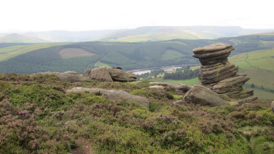 Derwent Edge Circular WalkModerate · 12.9 km
The audio tour guide for the drive, plus offline maps, trails, and wildlife heatmaps for when the signal drops.