Edale in Peak District National Park

Sight · Peak District National Park

Edale

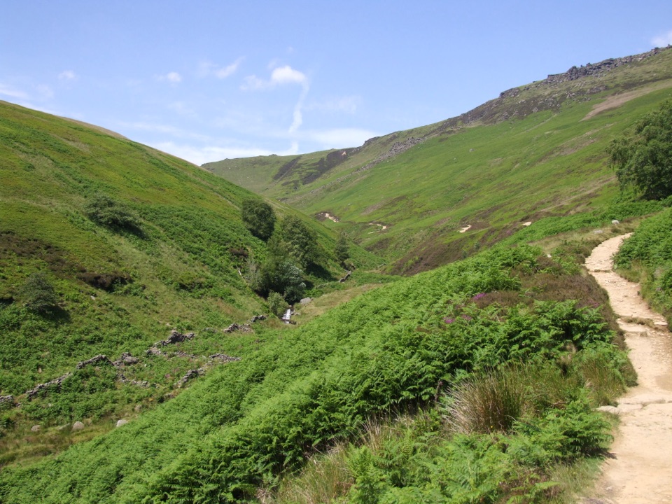
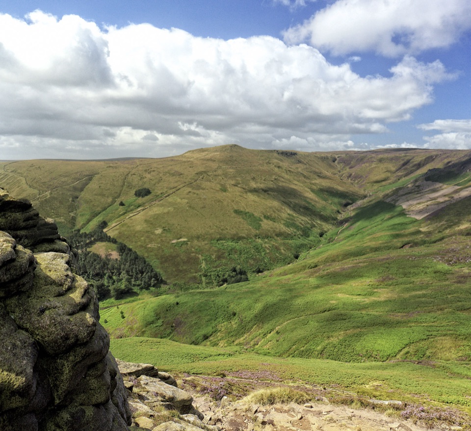
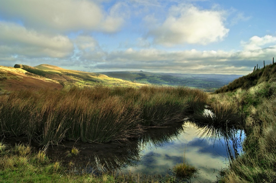
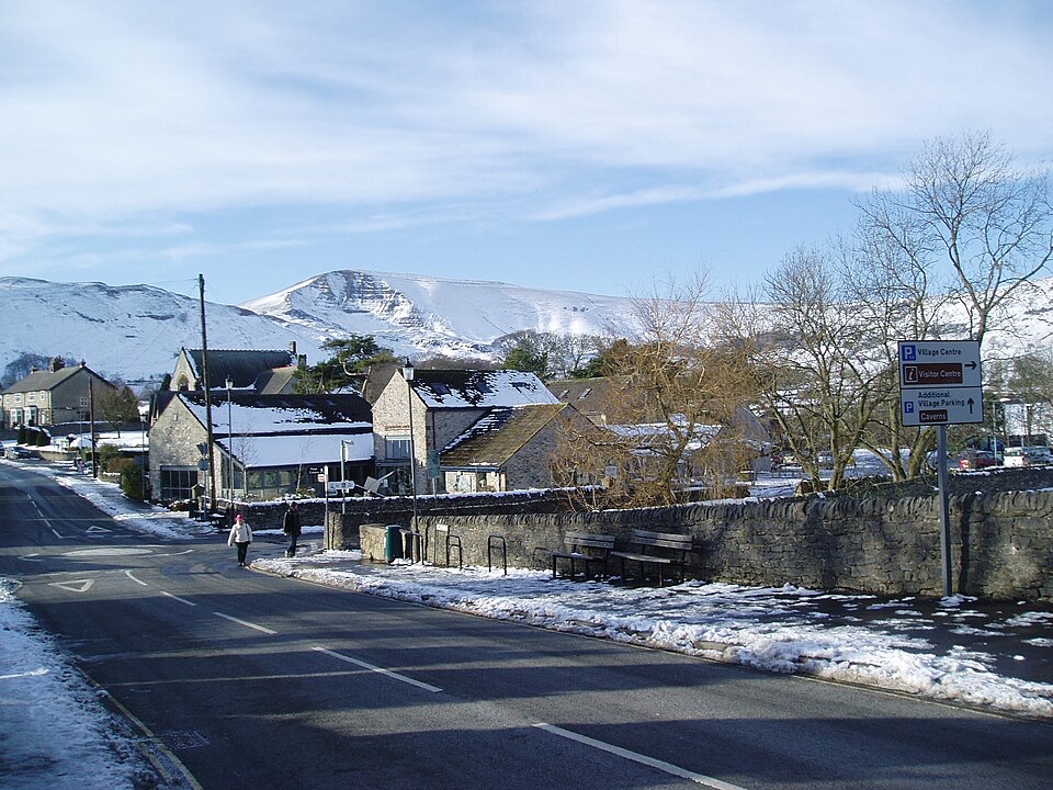
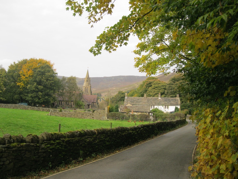
Where the Pennine Way begins, beneath Kinder Scout's brooding moorland

Photo: Wikimedia Commons
Type
Sight
Nearest trail
0.3 km
Audio stories
5 nearby
  • Trailhead
  • Parking
  • Restrooms
  • Food

Hear the audio tour

Edale and Kinder Scout

Overview

About Edale

Why stop

  • Immediate access to Pennine Way and Kinder Scout walks
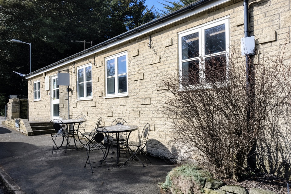
  • Characterful valley village with church, food and rail access

Heads up

  • Main routes can be crowded on weekends
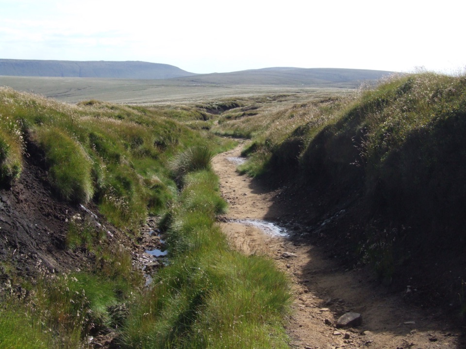
  • The best walks quickly become exposed, demanding hill country

Map

Where it is

Loading the Peak District map
Full map
SightEdale53.36764, -1.81621
Keep this map with you offline in the Parkwolf app

Plan your stop

Before you go

Best time to go

  • The village has a railway station, which is the easiest way to arrive and avoids the parking problem entirely
  • By car, use the main pay and display car park, with public toilets alongside
  • Weekends can fill the car park and the main paths onto Kinder get busy, so arrive early or take the train when possible
  • Bring layers, proper footwear, and a map and compass, since navigation on Kinder is demanding and the weather changes quickly


5 active Peak District alerts

  • ClosureA54 Cat and Fiddle road closureThe A54 Macclesfield Main Road (Cat and Fiddle) is fully closed to all traffic from 27 July through 30 October 2026 during phase 1 improvement works.Official details
  • ClosureHooks Carr (Stanage Popular) car park closureHooks Carr (Stanage Popular) car park will be partially or fully closed from 6 October for four weeks.Official details
See all 5 alerts
A park ranger sits on a dash-mounted phone, talking, as Parkwolf’s Tour Guide plays “Army Cutworm Moths: A Grizzly Bear Buffet” on Grand Loop Road below Dunraven Pass in Yellowstone
Parkwolf Tour GuideThe highest, rockiest slopes around here are a summer buffet for grizzly bears.

Peak District Tour Guide

Your drive to Edale, narrated.

Parkwolf is a GPS audio tour guide for Peak District National Park. As you drive, it chimes in with what’s ahead: hidden gems, upcoming stops, history, geology, and wildlife, right through your car’s speakers.

Recorded for this place

Edale and Kinder Scout
0:00 / 0:37
“Edale is coming up, the small village where the Pennine Way begins beneath Kinder Scout.”

Plays as you drive up to Edale in the Parkwolf Peak District Tour Guide.

More stories near here in the app

  • The Bird That Walks Underwater
  • Mam Tor and the Great Ridge
  • Treak Cliff and Blue John Caverns
  • Winnats Pass and Speedwell Cavern
  • 298 audio storiesacross Peak District’s roads, triggered by GPS as you drive
  • Wildlife heatmapsfor Red Deer, Red Fox, Eurasian Otter, and 13 more
  • Works offlinemaps, 88 trails, 76 places, and audio download before you lose signal
  • CarPlay readysimple controls built for the drive
★★★★★
“Fantastic app with many points of information… It’s great to just turn on while you’re driving and it gives you an audio tour of the national Park. We love it!!!!”
JMJamesApp Store review
Download Parkwolf on the App StoreGet Parkwolf on Google Play

4.7 from 8,600+ ratings

Guide

More about Edale

Why it stands outA small village in the Hope Valley that serves as the start and end point of the Pennine Way,…

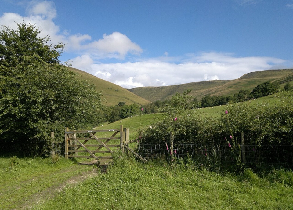
A small village in the Hope Valley that serves as the start and end point of the Pennine Way, tucked directly beneath Kinder Scout, at 2,087 feet the highest point in the Peak District. The settlement grew from scattered hamlets known as booths, and that pattern still shapes the valley: Upper Booth, Barber Booth, Ollerbrook Booth, Nether Booth and the central Grindsbrook Booth cluster that most people simply call Edale village.

What you will find in the villagePubs and cafes, in the village itself and near the railway station
  • Pubs and cafes, in the village itself and near the railway station
  • A local shop for basics before a walk
  • The parish church of 1886, a quiet stop on the way through
  • Campsites in the village and in the outlying booths
  • A pay and display car park and public toilets
Walking from the doorThe village is a base rather than a sightseeing circuit, and nearly everything worth doing…

The village is a base rather than a sightseeing circuit, and nearly everything worth doing starts on foot.

  • Walks onto Kinder Scout begin from the village, climbing to the peaty plateau above
  • The Great Ridge and Mam Tor on the southern side of the valley, with wide views back over Edale
  • Win Hill and Dalehead for shorter days on the hill
  • Low level lanes between the booths when the tops are wrapped in cloud
Honest drawbacksThere are no public National Park visitor facilities here.
  • There are no public National Park visitor facilities here. The former Moorland Centre has no public access without a prior appointment, so do not plan on it for maps, advice or shelter.
  • Facilities are small scale: a handful of pubs and cafes and one shop.
  • The village itself takes minutes to walk through. Without a hill walk planned, there is little to fill a day.
  • Kinder navigation is demanding and conditions can turn fast, so be ready to turn back.
Best forWalkers, Pennine Way starters and anyone who wants a characterful valley base under big…

Walkers, Pennine Way starters and anyone who wants a characterful valley base under big moorland rather than a village of attractions. Arrive by train, walk from the door, and treat the pub at the end as the reward.

Wildlife

Wildlife in Peak District

All Peak District wildlife maps

Sighting maps show where each species has been reported across Peak District. Wildlife moves, so no sighting is guaranteed.

Keep exploring

Near Edale

See it all on the map

Trails nearby

More stops nearby

Parkwolf’s Peak District ranking

Top sights in Peak District

All 76 places
  1. 1Chatsworth HouseSight
  2. 2Mam TorSight
  3. 3Dovedale Stepping StonesSight
  4. 4Ladybower ReservoirSight
  5. 5Stanage EdgeSight
  6. 6Kinder ScoutSight

Take Parkwolf to Peak District.

The audio tour guide for the drive, plus offline maps, trails, and wildlife heatmaps for when the signal drops.

4.7 from 8,600+ ratings

Download Parkwolf on the App StoreGet Parkwolf on Google Play