Parking
Woodcroft car park, S11 7TZ: pay and display, with free parking for National Trust members who show their membership card. Haywood and Wooden Pole are alternative car parks. The walk starts and finishes by Longshaw cafe, which has toilets.

#6 of 88 trails in Peak District
Peak District National Park, EN
A short woodland-and-stream loop with a surprisingly wild feel.
Overview
Map & elevation
Plan your hike

The highest, rockiest slopes around here are a summer buffet for grizzly bears.
Peak District Tour Guide
Parkwolf is a GPS audio tour guide for Peak District National Park. As you drive, it chimes in with what’s ahead: hidden gems, upcoming stops, history, geology, and wildlife, right through your car’s speakers.
Recorded for this trailhead
Padley Gorge and Longshaw“You’re approaching Woodcroft, an access point for Padley Gorge below Longshaw.”
Plays as you drive up to this trailhead in the Parkwolf Peak District Tour Guide.
More stories near here in the app
“Fantastic app with many points of information… It’s great to just turn on while you’re driving and it gives you an audio tour of the national Park. We love it!!!!”


Trail guide
This is a 2.3-mile circular walk from Woodcroft car park and Longshaw cafe, linking open meadow, a historic pond, ancient oak-and-birch woodland and Burbage Brook. Allow one to one and a half hours, or longer if you want to sit by the water and look around. It's the walk I'd choose for a first taste of this corner of the Peak District: short enough to fit around other plans, but varied enough not to feel like a lap of a park. The route is officially easy, though the ground beside the brook is much less polished than the distance suggests.
From the car park, follow the access path to the cafe, then head downhill through rhododendrons to Longshaw pond and on through Granby Wood. The opening stretch is straightforward, with gates and a few stiles. After Granby Barn, cross the road into the meadow and take the steps down to Burbage Brook. A wooden footbridge brings you to the streamside path, which becomes rougher and more uneven as it enters Padley Gorge. Expect rocks, exposed roots, muddy patches and a short steep section of steps. The route is waymarked with pink arrows, but there are enough side paths near the water to make it worth paying attention.
The best part is the change from open Longshaw meadow to the close, mossy feeling of the woodland beside the brook. Stop at the bridge, then walk upstream and look back through the trees: the water, rocks and old oaks give you the scene this walk is named for. In the meadow, Carl Wark and Higger Tor sit on the skyline. Longshaw pond was made around 1827, while the sunken track by the brook, Hollowgate, once carried packhorses across the Peak District. If you want one useful photo, frame the brook through the oak branches with a strip of path or rock in the foreground; it shows that this is a walk, not just a generic stream picture.
Woodcroft is pay and display, with free parking for members who bring their card; Haywood and Wooden Pole are alternatives. The cafe and toilets are at the start/end, and the cafe is a handy reason to finish at Longshaw rather than rushing back to the car. Parking is popular on bright days, so an early start makes the whole visit easier. Dogs are allowed but must stay on leads, and the short lead rule matters especially around cattle and ground-nesting birds in the meadow. This is a good family walk for people happy with uneven ground and steps, but it isn't a stroller route or a smooth, step-free stroll.
Wildlife
 248 sightingsRed DeerMost seen around 7 AMSighting map
 36 sightingsRed FoxMost seen around 6 AMSighting map
 15 sightingsEurasian OtterMost seen around 7 PMSighting map
 51 sightingsPeregrine FalconMost seen around 6 PMSighting map
 47 sightingsEuropean Fallow DeerMost seen around 6 AMSighting map
 54 sightingsWestern Roe DeerMost seen around 7 PMSighting map
Sighting maps show where each species has been reported across Peak District. Wildlife moves, so no sighting is guaranteed.
Keep exploring
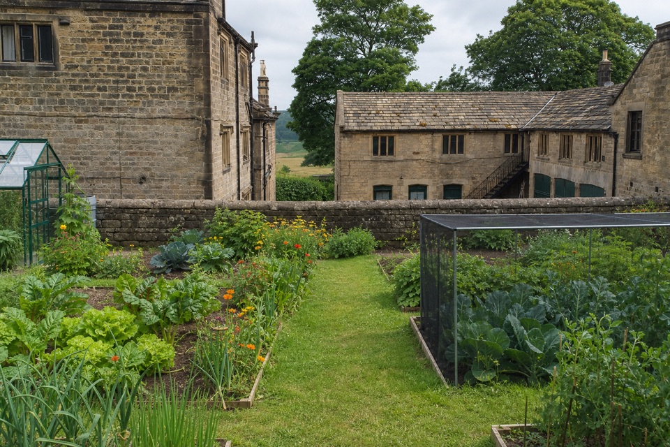 EasyBlue Route at Longshaw Estate4.5 km · 1.5 hr · 0.3 km awayAn old ice house and carved stone reward this gentle moorland loop.
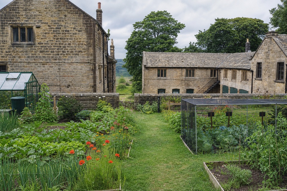 EasyOrange Route at Longshaw Estate2.7 km · 1 hr · 0.3 km awayA short, marked loop with a café beside the start.ModerateLongshaw Woodland Explorer Walk5.3 km · 2.3 hr · 0.3 km awayPond, packhorse track and a boulder-filled gorge in one loop.
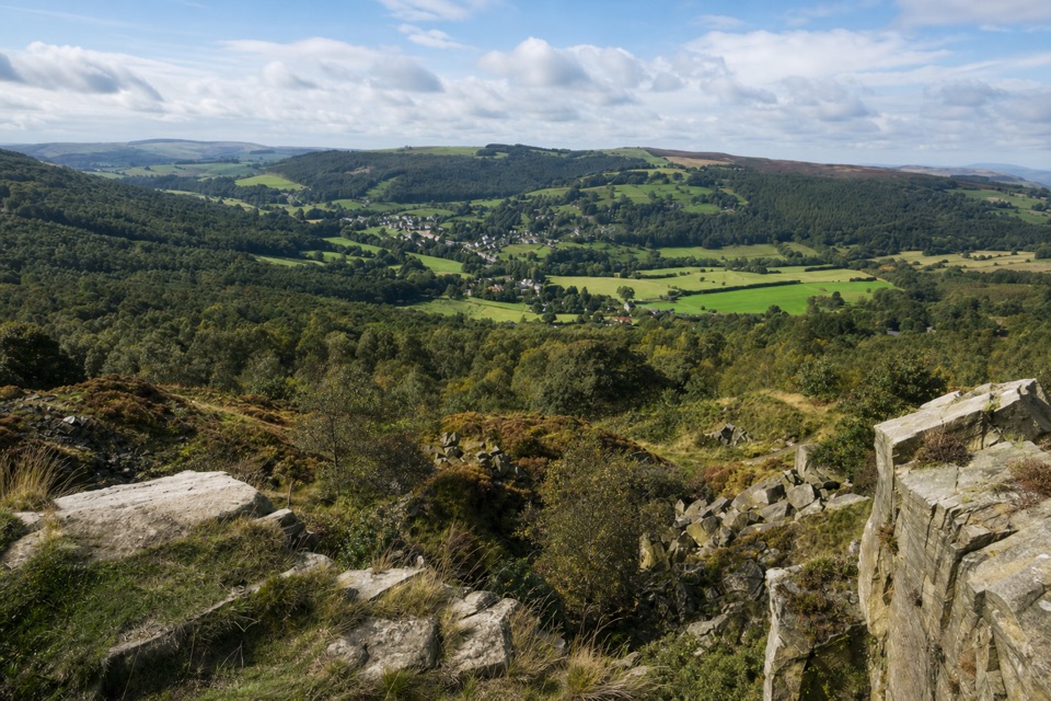 ModerateViews and Woodlands Walk at Longshaw8.4 km · 3.5 hr · 2.6 km awayWoodland paths, a boggy packhorse track, and a clifftop panorama.
 ModerateStanage Edge from Hathersage10.6 km · 3.5 hr · 3.8 km awayGritstone underfoot, climbers below, and the Hope Valley opening out.
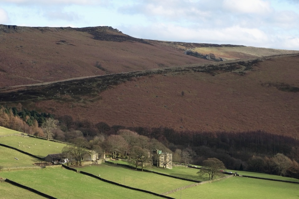 ModerateJane Eyre Hathersage Trail7.8 km · 3.5 hr · 3.9 km awayA literary loop with a steep climb onto Stanage Edge.
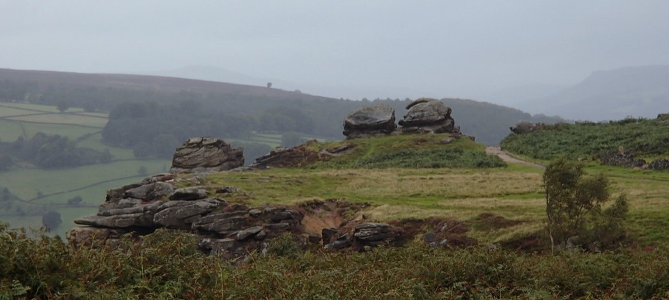 ModerateFroggatt, Curbar and White Edge Red Deer Circular Walk9.6 km · 3 hr · 5.4 km awayThree gritstone edges, a red deer moor and a pub halfway round.
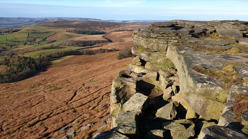 ModerateRedmires Reservoir, Stanage Edge and Hallam Moors Circular15 km · 4.8 hr · 5.7 km awayA long moorland loop linking Redmires, Stanage Edge and High Neb.
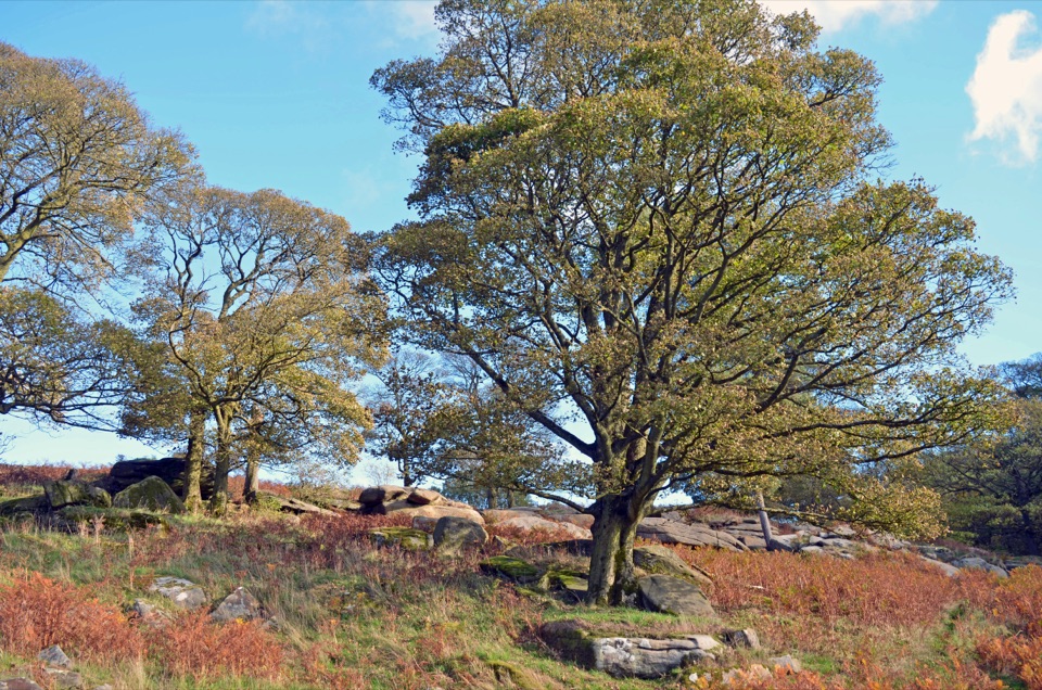 Sight · 1 km awayLongshaw EstateAncient woods, gritstone edges and moorland walks above the Derwent Valley
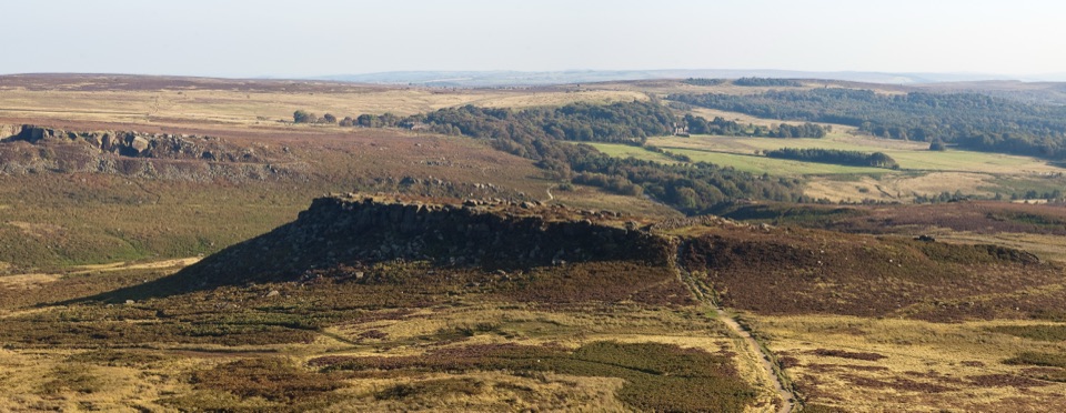 Sight · 1.5 km awayCarl WarkBelieved Iron Age hillfort perched on gritstone above open moorland
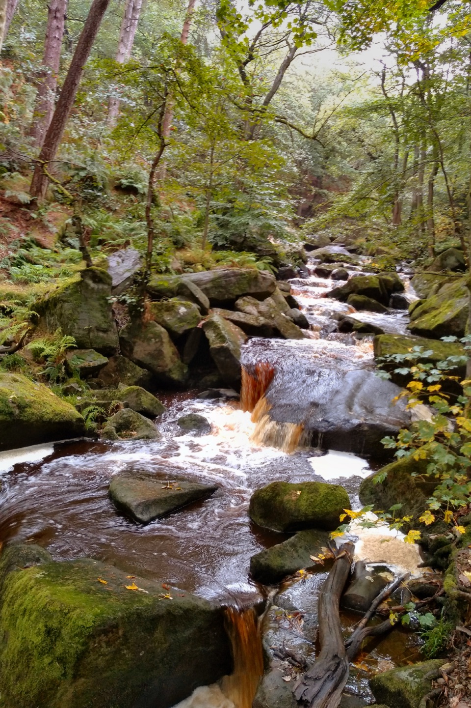 Sight · 1.5 km awayPadley GorgeMossy boulders, tumbling water and ancient oaks in a steep gorge
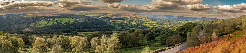 Sight · 1.8 km awaySurprise ViewWide Hope Valley panorama and gritstone rocks, a short climb up
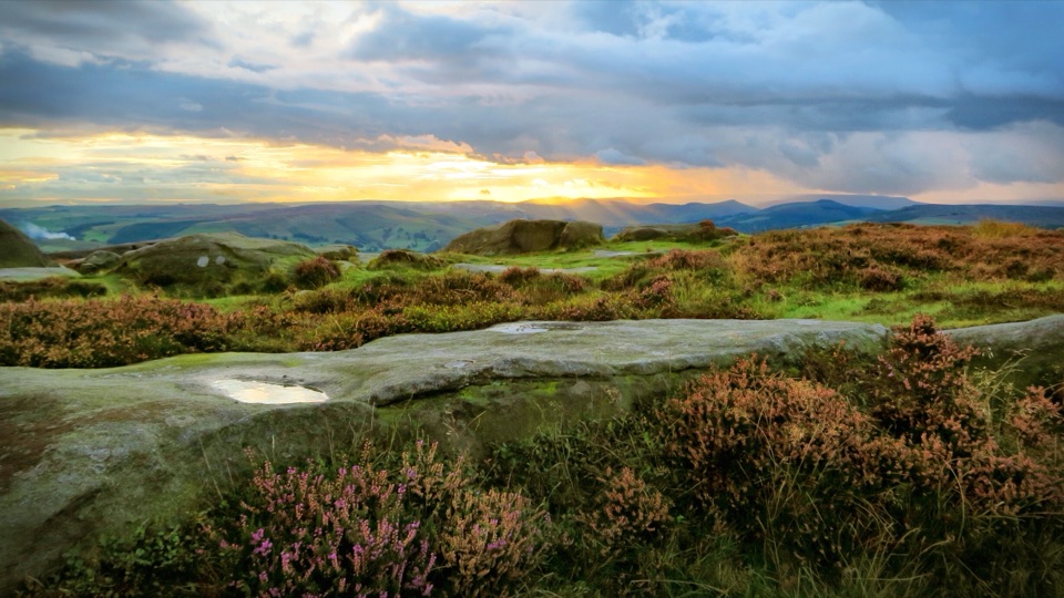 Sight · 2.1 km awayHigger TorBoulder-strewn gritstone plateau with huge views over Burbage Moor
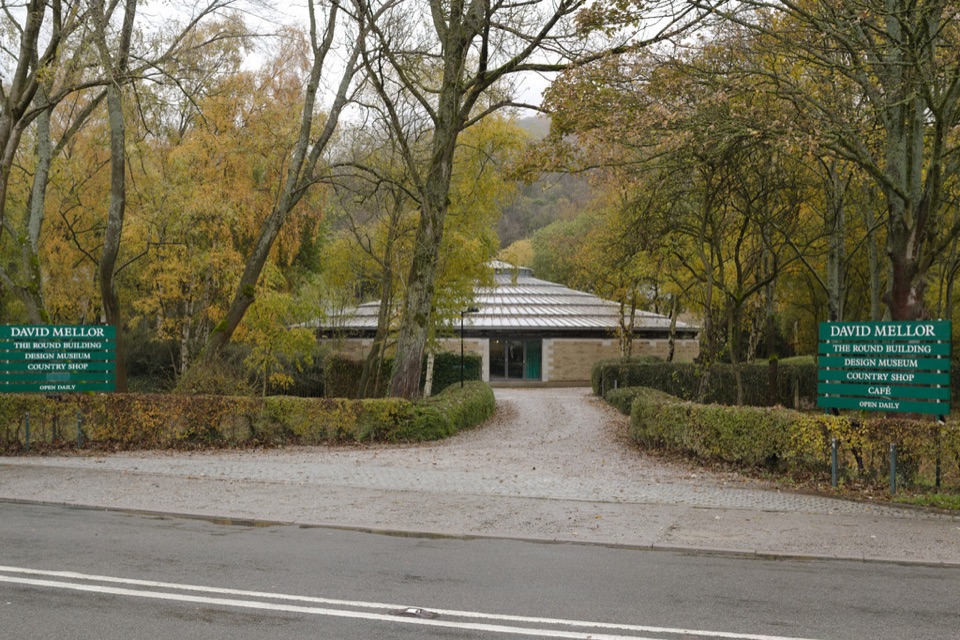 Sight · 3.5 km awayDavid Mellor Visitor CentreHandmade cutlery in a landmark round factory, plus a free museum
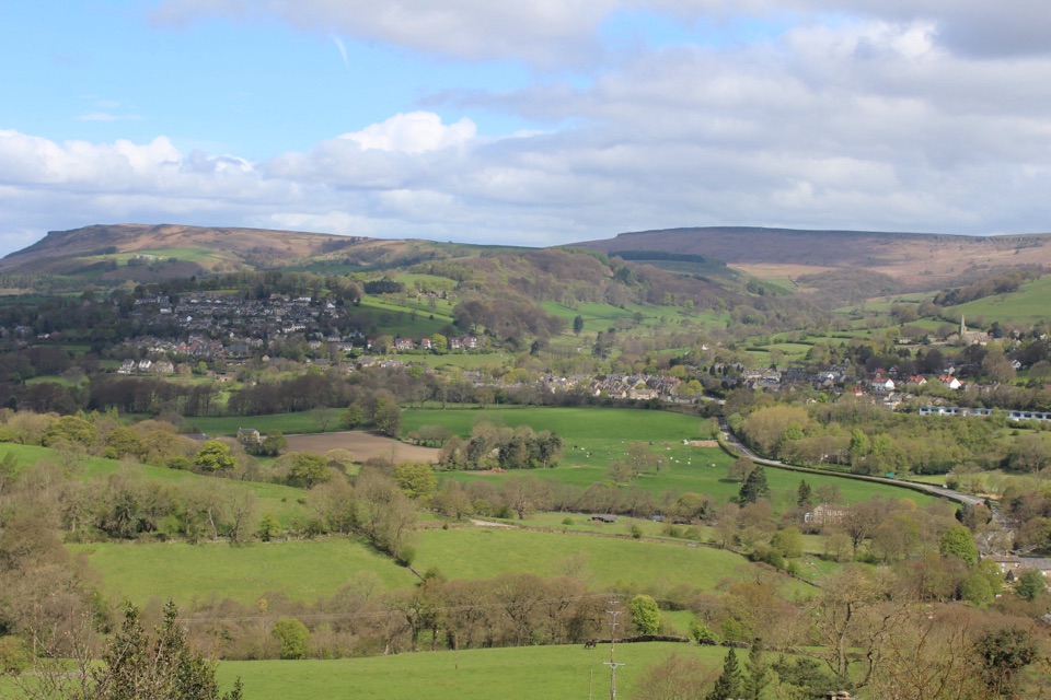 Sight · 3.8 km awayHathersageGritstone-edge village base with open-air pool and Jane Eyre echoes
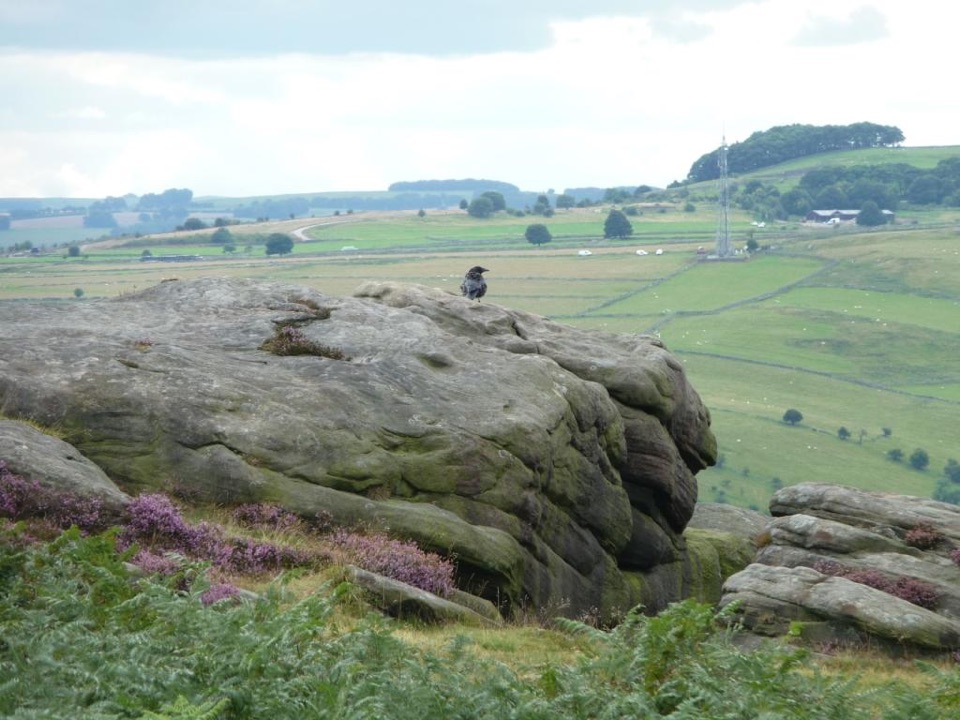 Sight · 4 km awayFroggatt EdgeGritstone clifftop walking and slab climbing above the Derwent Valley
Parkwolf’s Peak District ranking
 The Roaches and Lud’s Church Circular from Hen CloudModerate · 12.2 km
 Mam Tor Circular WalkModerate · 4.8 km
 Castleton, Mam Tor & the Great Ridge WalkModerate · 10.5 kmStanage Edge from HathersageModerate · 10.6 km
 Kinder Scout Circular via Jacob’s LadderChallenging · 12.1 km
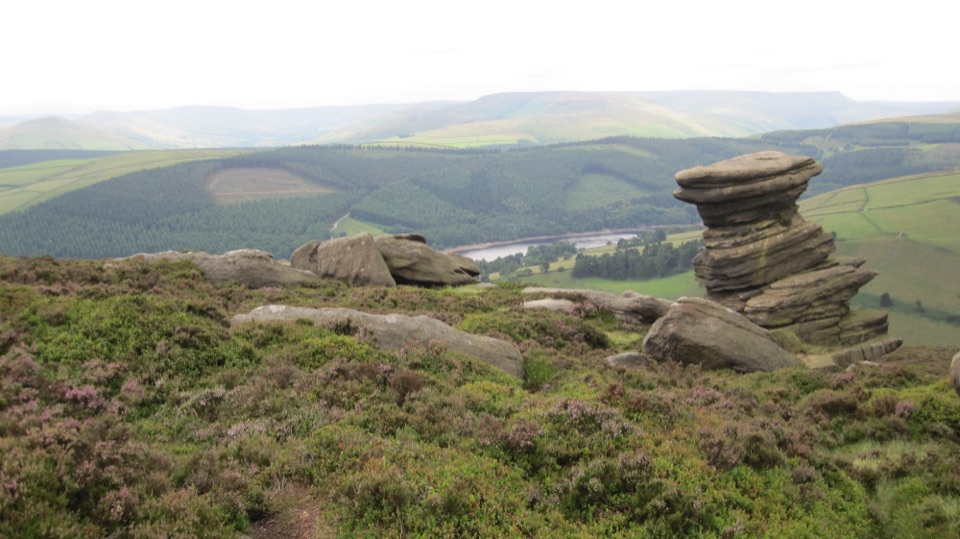 Derwent Edge Circular WalkModerate · 12.9 km
The audio tour guide for the drive, plus offline maps, trails, and wildlife heatmaps for when the signal drops.