Parking
Use the small car park beside Stoney Middleton Playing Fields and the football field, off the A623 near Calver Crossroads. The route starts on the track beside the fields.
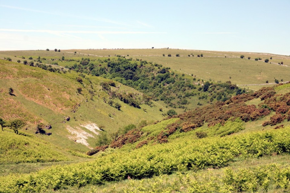
Peak District National Park, EN
An easy-access limestone dale walk with a surfaced track and benches
Overview
Map & elevation
Plan your hike

The highest, rockiest slopes around here are a summer buffet for grizzly bears.
Peak District Tour Guide
Parkwolf is a GPS audio tour guide for Peak District National Park. As you drive, it chimes in with what’s ahead: hidden gems, upcoming stops, history, geology, and wildlife, right through your car’s speakers.
Recorded for this trailhead
Coombs Dale from Stoney Middleton“You're approaching the Coombs Dale walk from Stoney Middleton Playing Fields. The surfaced lower track starts under ash trees, then opens beneath steep limestone grassland where orchids and butterflies live.”
Plays as you drive up to this trailhead in the Parkwolf Peak District Tour Guide.
More stories near here in the app
“Fantastic app with many points of information… It’s great to just turn on while you’re driving and it gives you an audio tour of the national Park. We love it!!!!”


Trail guide
This is a 2.0-mile out-and-back (1.6 km each way) from Stoney Middleton Playing Fields into Coombs Dale. It follows a surfaced lower bridleway, with a short climb to seating where the dale opens out. Allow about an hour to 90 minutes with stops. It is a good choice if you want limestone scenery without committing to a full hill day.
The track leaves the playing fields under ash trees, sometimes beside a stream, then opens toward steep-sided limestone grassland. The dale is an SSSI with orchids, limestone fern, woolly thistle and butterflies including dark green fritillaries. Springs can run after winter or heavy rain, so the otherwise smooth route may be wet.
Park at the small car park beside Stoney Middleton Playing Fields, off the A623 near Calver Crossroads. Stoney Middleton and Calver are the nearest places for facilities and refreshments. This record is for the short official route: beyond the seating, Coombs Dale continues onto rougher, sometimes loose surfaces and longer circular walks. Do not treat those extensions as part of the easy-access return walk.
Wildlife
 248 sightingsRed DeerMost seen around 7 AMSighting map
 36 sightingsRed FoxMost seen around 6 AMSighting map
 15 sightingsEurasian OtterMost seen around 7 PMSighting map
 51 sightingsPeregrine FalconMost seen around 6 PMSighting map
 47 sightingsEuropean Fallow DeerMost seen around 6 AMSighting map
 54 sightingsWestern Roe DeerMost seen around 7 PMSighting map
Sighting maps show where each species has been reported across Peak District. Wildlife moves, so no sighting is guaranteed.
Keep exploring
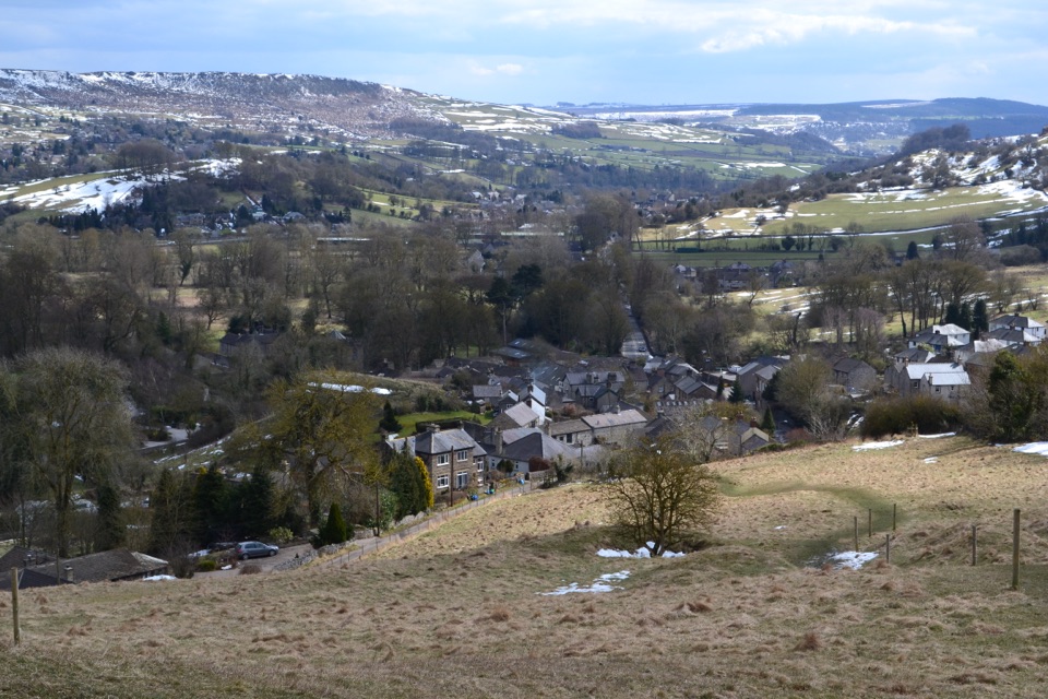 ModerateStoney Middleton Heritage Trail (Purple Walk)4.1 km · 1.5 hr · 1.3 km awayA limestone heritage loop through village lanes and cliff paths
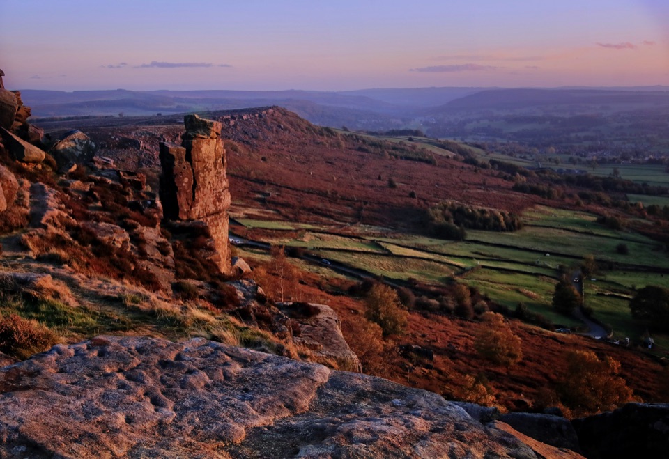 ModerateCurbar, Birchen Edge, Baslow Edge and Curbar Edge Loop13.5 km · 4 hr · 1.7 km awayThree gritstone edges, the Three Ships, and one boggy moor crossing.
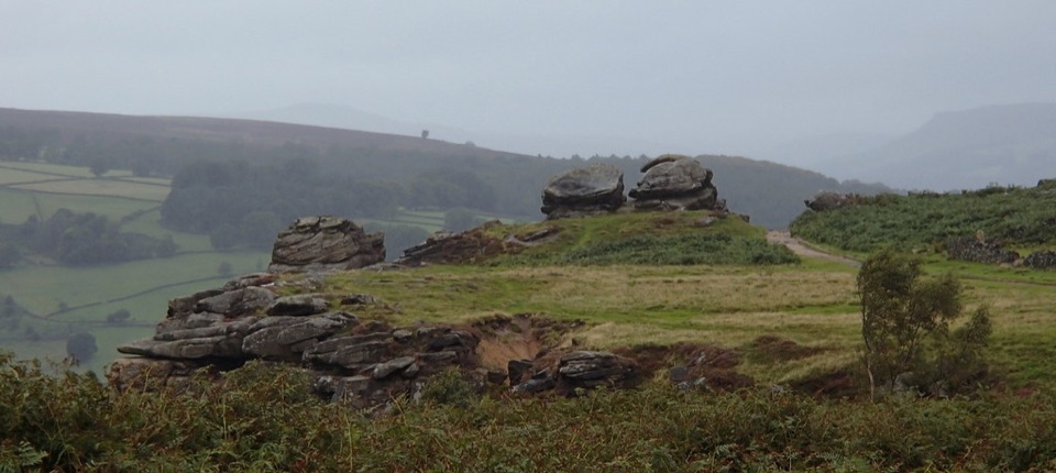 ModerateFroggatt, Curbar and White Edge Red Deer Circular Walk9.6 km · 3 hr · 2.7 km awayThree gritstone edges, a red deer moor and a pub halfway round.
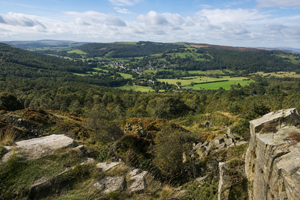 ModerateViews and Woodlands Walk at Longshaw8.4 km · 3.5 hr · 3.4 km awayWoodland paths, a boggy packhorse track, and a clifftop panorama.
 ModerateLongshaw Woodland Explorer Walk5.3 km · 2.3 hr · 5.6 km awayPond, packhorse track and a boulder-filled gorge in one loop.
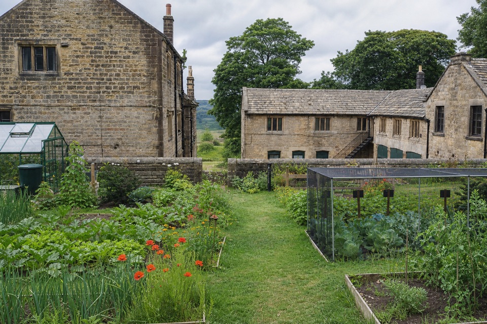 EasyOrange Route at Longshaw Estate2.7 km · 1 hr · 5.6 km awayA short, marked loop with a café beside the start.
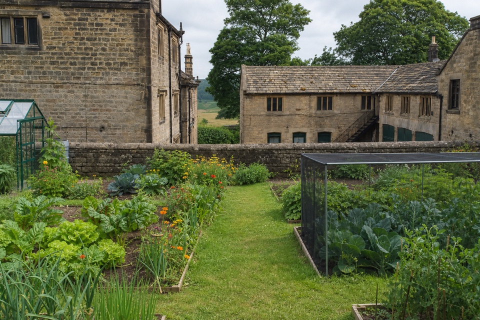 EasyBlue Route at Longshaw Estate4.5 km · 1.5 hr · 5.6 km awayAn old ice house and carved stone reward this gentle moorland loop.EasyPadley Gorge and Burbage Brook Walk3.7 km · 1.3 hr · 5.9 km awayA short woodland-and-stream loop with a surprisingly wild feel.
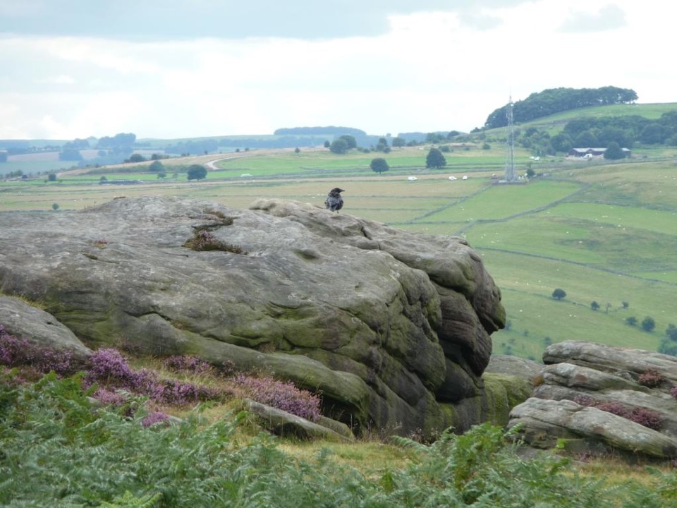 Sight · 2 km awayFroggatt EdgeGritstone clifftop walking and slab climbing above the Derwent Valley
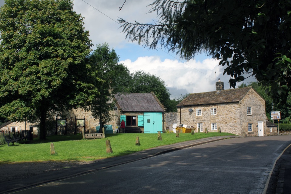 Sight · 2.1 km awayEyamWalk the stone village that sealed itself off in 1665
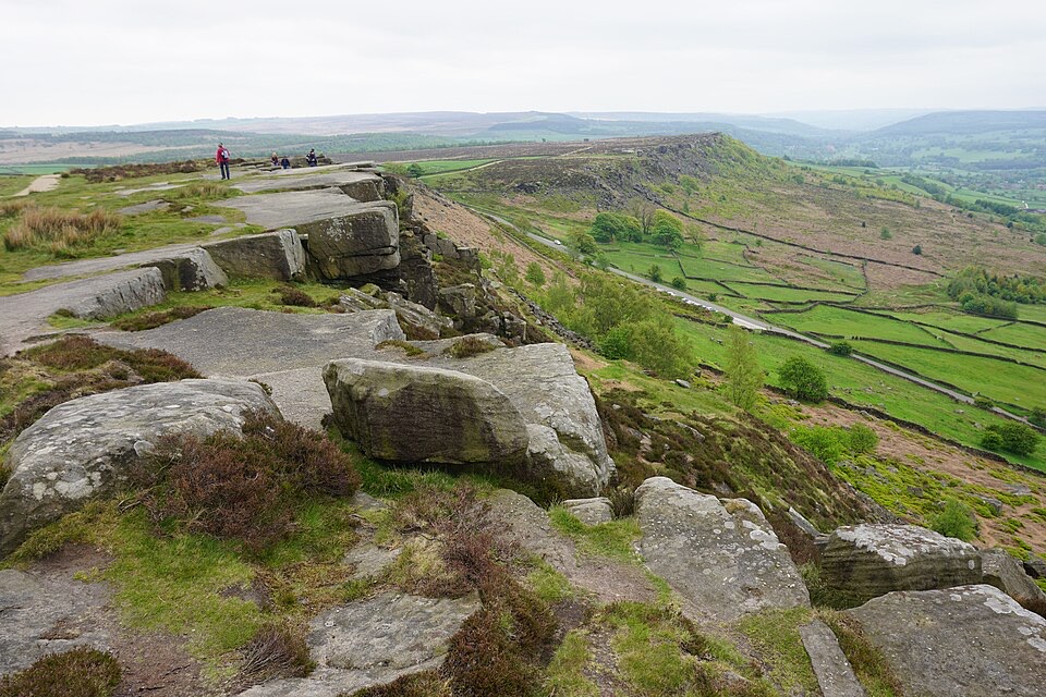 Sight · 2.4 km awayCurbar EdgeWeathered gritstone crags with wide open views over the Derwent Valley
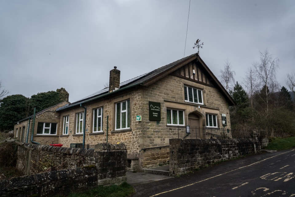 Sight · 2.6 km awayEyam MuseumPlague history, mining and silk trades in one compact village museum
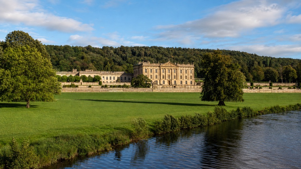 Campground · 4.4 km awayChatsworth Park Caravan and Motorhome Club CampsiteOld walled garden with its own gate into Chatsworth's parkland
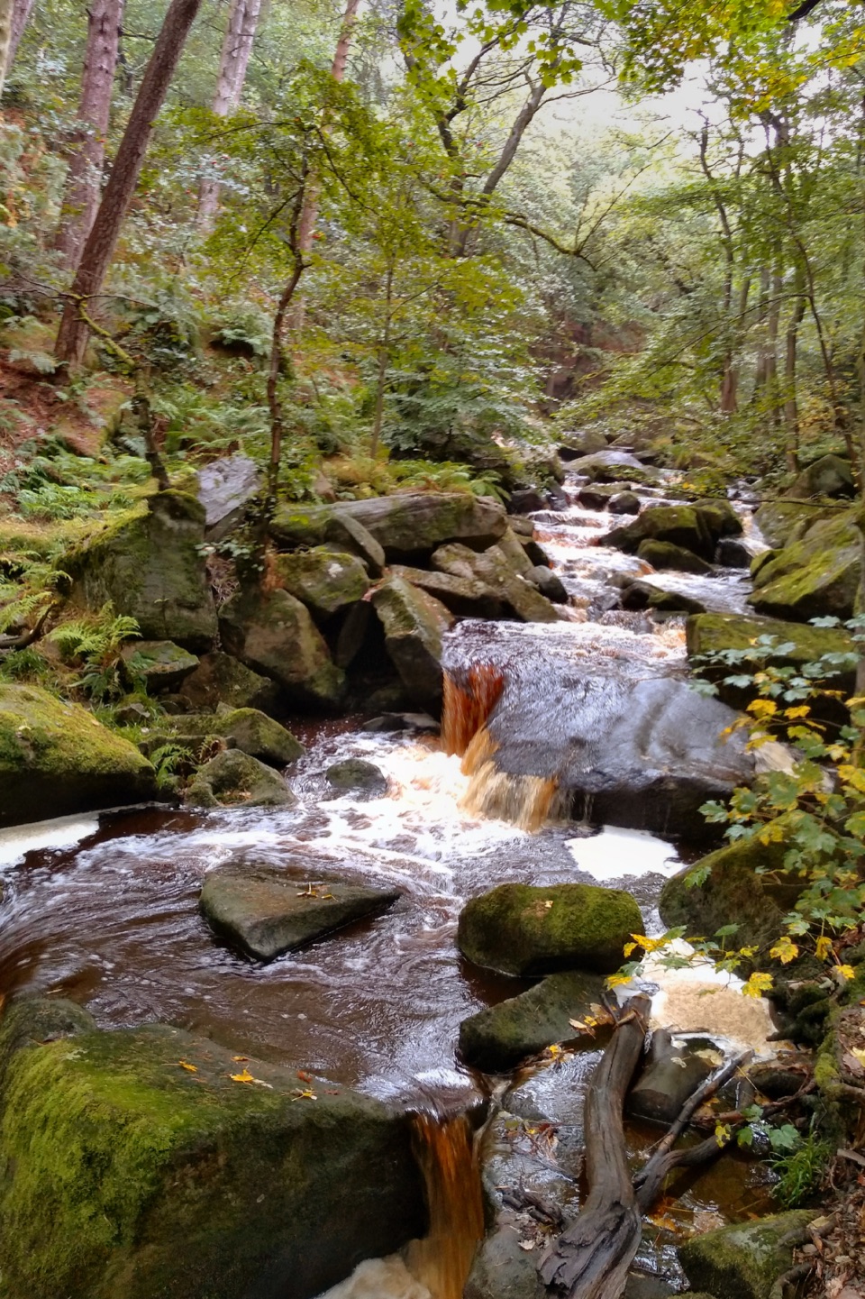 Sight · 4.6 km awayPadley GorgeMossy boulders, tumbling water and ancient oaks in a steep gorge
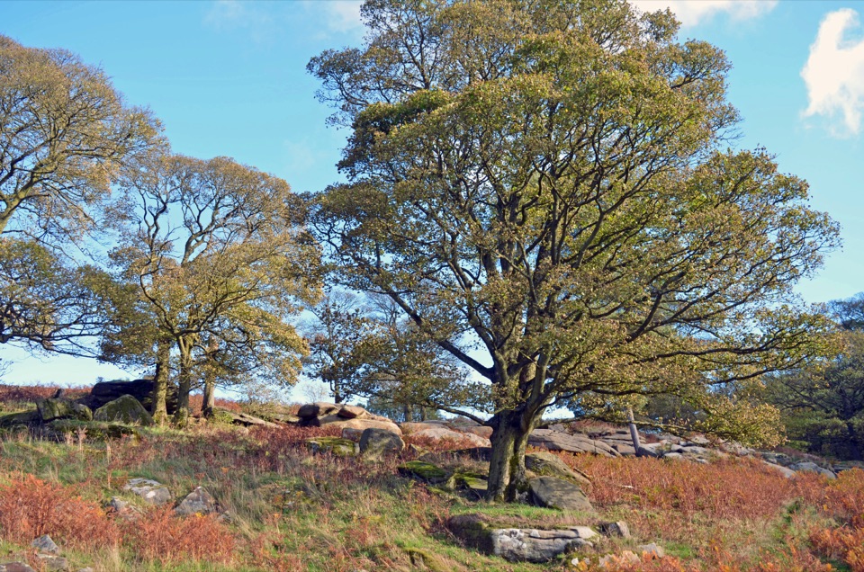 Sight · 5 km awayLongshaw EstateAncient woods, gritstone edges and moorland walks above the Derwent Valley
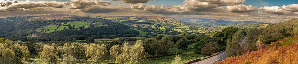 Sight · 5.2 km awaySurprise ViewWide Hope Valley panorama and gritstone rocks, a short climb up
Parkwolf’s Peak District ranking
 The Roaches and Lud’s Church Circular from Hen CloudModerate · 12.2 km
 Mam Tor Circular WalkModerate · 4.8 km
 Castleton, Mam Tor & the Great Ridge WalkModerate · 10.5 km
 Stanage Edge from HathersageModerate · 10.6 km
 Kinder Scout Circular via Jacob’s LadderChallenging · 12.1 kmPadley Gorge and Burbage Brook WalkEasy · 3.7 km
The audio tour guide for the drive, plus offline maps, trails, and wildlife heatmaps for when the signal drops.