Parking
Use the large A632 lay-by near Lovers Leap, or the playing-field entrance on the Calver side; walk to The Cupola for the trail start.
Peak District National Park, EN
A limestone heritage loop through village lanes and cliff paths
Overview
Map & elevation
Plan your hike

The highest, rockiest slopes around here are a summer buffet for grizzly bears.
Peak District Tour Guide
Parkwolf is a GPS audio tour guide for Peak District National Park. As you drive, it chimes in with what’s ahead: hidden gems, upcoming stops, history, geology, and wildlife, right through your car’s speakers.
Recorded for this trailhead
Stoney Middleton Purple Walk“You're approaching The Cupola in Stoney Middleton, start of the Purple Walk through village lanes and limestone cliffs.”
Plays as you drive up to this trailhead in the Parkwolf Peak District Tour Guide.
More stories near here in the app
“Fantastic app with many points of information… It’s great to just turn on while you’re driving and it gives you an audio tour of the national Park. We love it!!!!”


Trail guide
This 2.55-mile loop starts at The Cupola Visitor Centre and links Stoney Middleton’s lanes, cliff paths and Middleton Dale. Allow about 1.5 hours, including time to read the heritage boards and pause at viewpoints. The Purple Walk is the village-focused option; the Green Walk continues through Eyam, so do not follow a combined map by mistake.
From The Cupola, the route threads through the village before climbing onto mapped footpaths and a public bridleway around the limestone edge. It returns via Middleton Lane and village streets. Expect a moderate walk with a steep section, uneven ground and a few shared-road stretches. In damp weather, its hard-surface sections are generally more forgiving than the Green Walk’s natural paths.
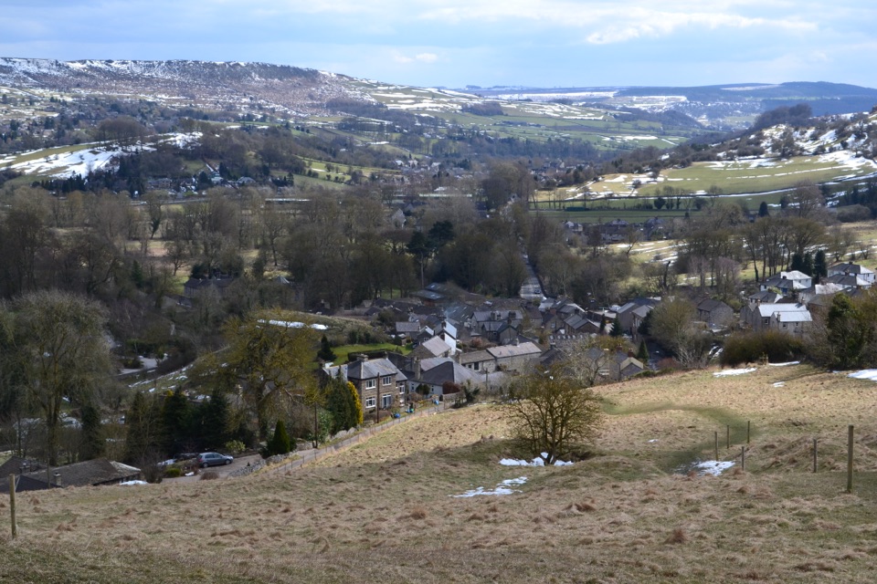
Look for old cottages, listed buildings, caves, quarry scars and views across Middleton Dale. Stoney Middleton’s story reaches from Domesday to lead mining, limestone quarrying and rock climbing. At Lovers Leap, local folklore gives the cliff a dramatic human story; the walk’s appeal comes from seeing those stories in one compact circuit.
Use the large lay-by on the A632 near Lovers Leap or the playing-field entrance on the Calver side, then walk to The Cupola. The Cupola has toilets, food and the trail map and information pack. Take care beside the A623 and near cliff or quarry edges. On the high path, frame the village and dale rather than only the rock face; that best shows what makes this route distinctive.
Wildlife
 248 sightingsRed DeerMost seen around 7 AMSighting map
 36 sightingsRed FoxMost seen around 6 AMSighting map
 15 sightingsEurasian OtterMost seen around 7 PMSighting map
 51 sightingsPeregrine FalconMost seen around 6 PMSighting map
 47 sightingsEuropean Fallow DeerMost seen around 6 AMSighting map
 54 sightingsWestern Roe DeerMost seen around 7 PMSighting map
Sighting maps show where each species has been reported across Peak District. Wildlife moves, so no sighting is guaranteed.
Keep exploring
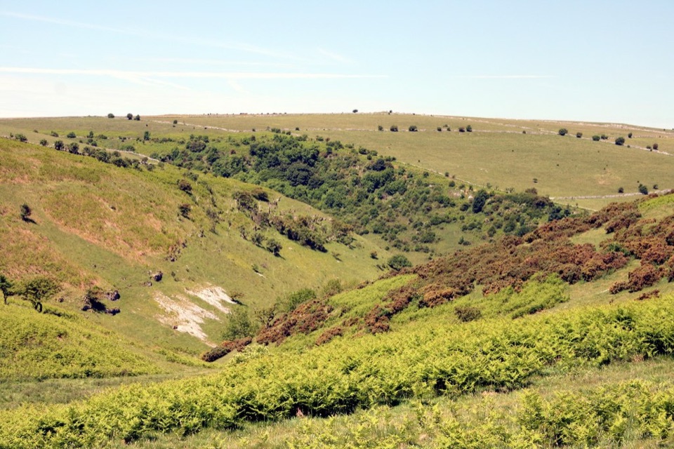 EasyCoombs Dale Miles without Stiles3.2 km · 1.3 hr · 1.3 km awayAn easy-access limestone dale walk with a surfaced track and benches
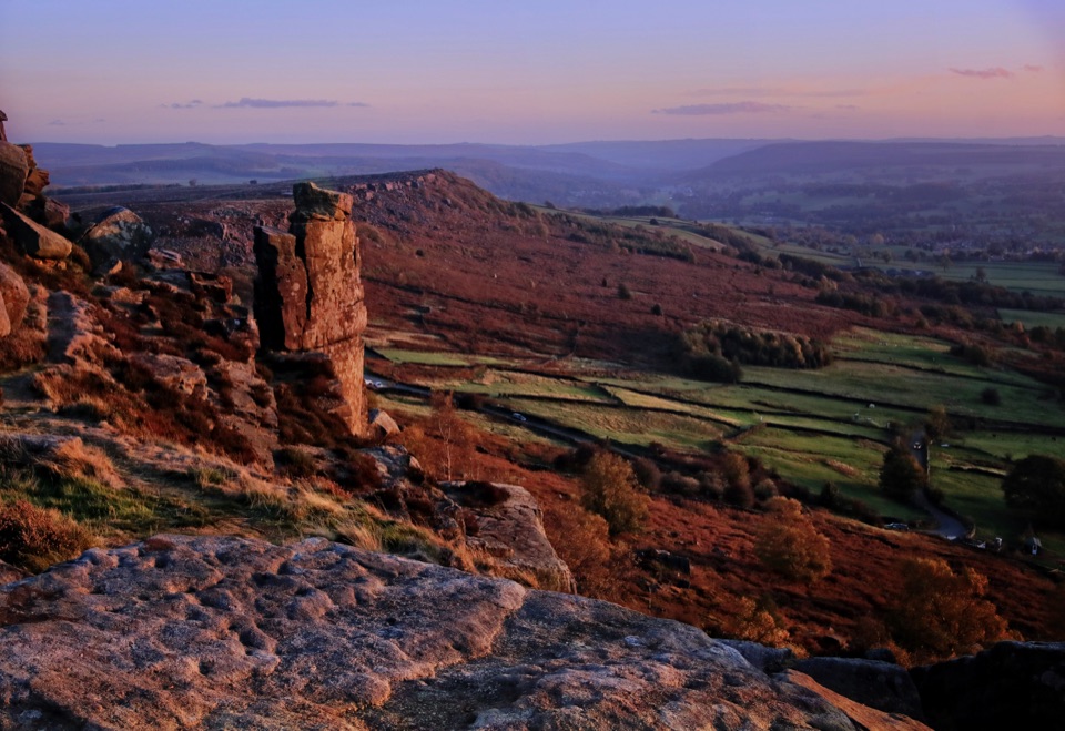 ModerateCurbar, Birchen Edge, Baslow Edge and Curbar Edge Loop13.5 km · 4 hr · 3 km awayThree gritstone edges, the Three Ships, and one boggy moor crossing.
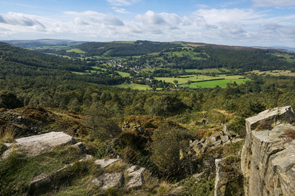 ModerateViews and Woodlands Walk at Longshaw8.4 km · 3.5 hr · 3.8 km awayWoodland paths, a boggy packhorse track, and a clifftop panorama.
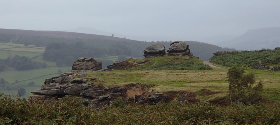 ModerateFroggatt, Curbar and White Edge Red Deer Circular Walk9.6 km · 3 hr · 3.9 km awayThree gritstone edges, a red deer moor and a pub halfway round.
 ModerateLongshaw Woodland Explorer Walk5.3 km · 2.3 hr · 5.8 km awayPond, packhorse track and a boulder-filled gorge in one loop.
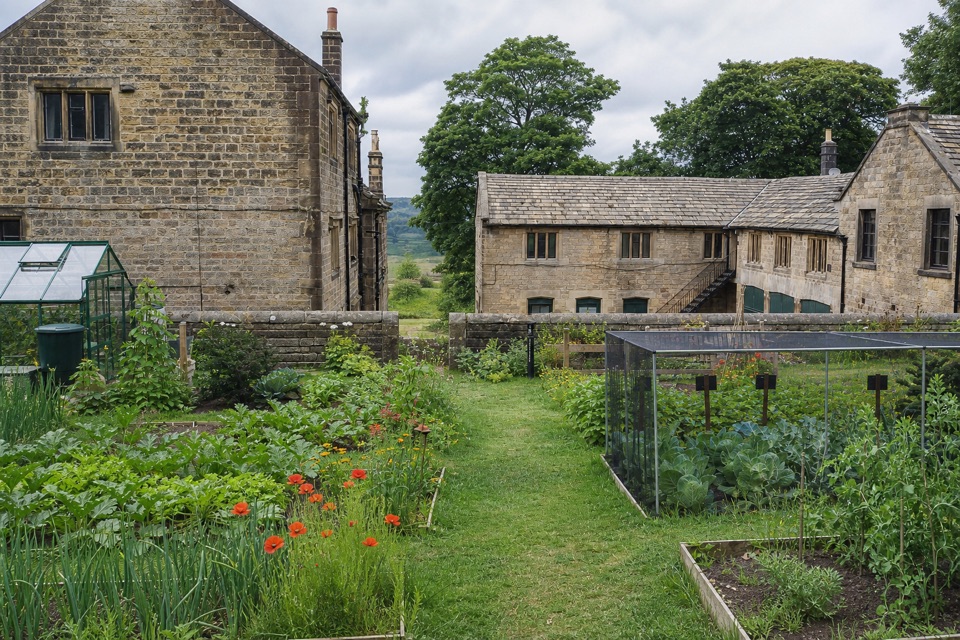 EasyOrange Route at Longshaw Estate2.7 km · 1 hr · 5.8 km awayA short, marked loop with a café beside the start.
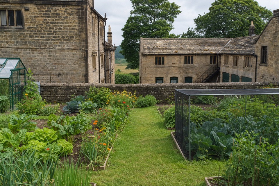 EasyBlue Route at Longshaw Estate4.5 km · 1.5 hr · 5.9 km awayAn old ice house and carved stone reward this gentle moorland loop.
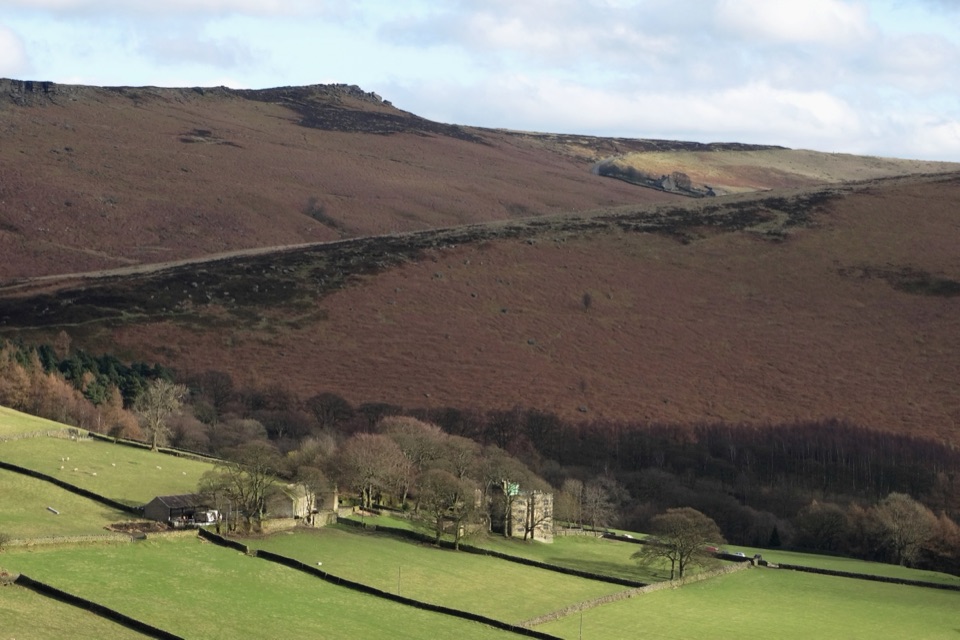 ModerateJane Eyre Hathersage Trail7.8 km · 3.5 hr · 5.9 km awayA literary loop with a steep climb onto Stanage Edge.
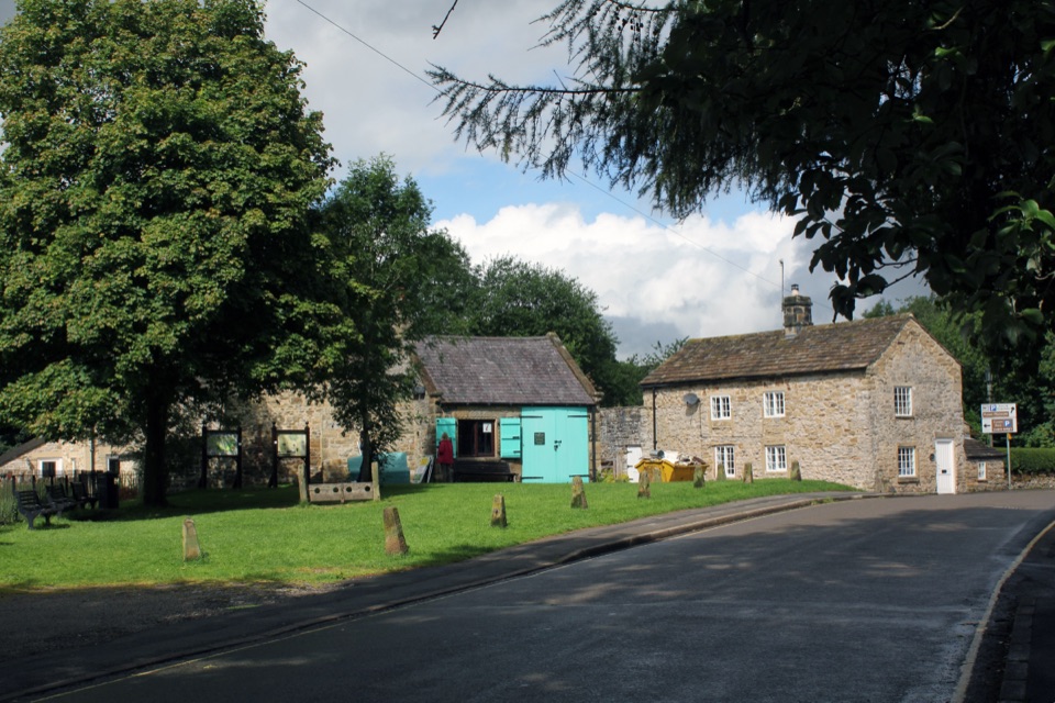 Sight · 0.9 km awayEyamWalk the stone village that sealed itself off in 1665
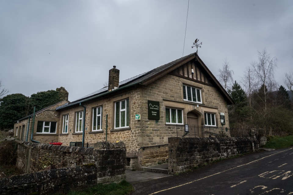 Sight · 1.4 km awayEyam MuseumPlague history, mining and silk trades in one compact village museum
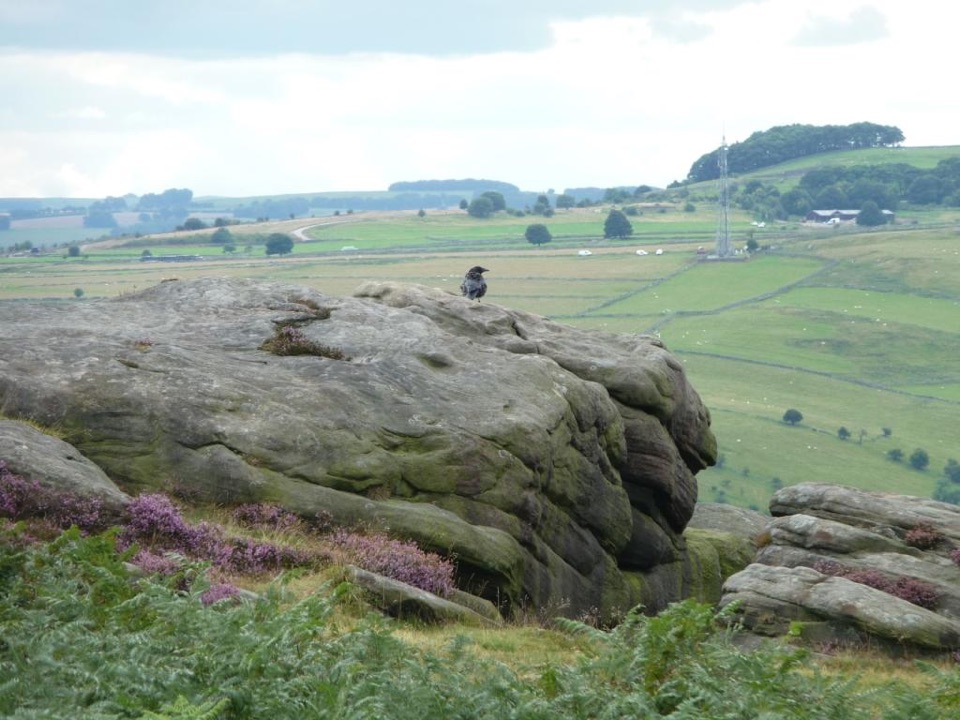 Sight · 2.6 km awayFroggatt EdgeGritstone clifftop walking and slab climbing above the Derwent Valley
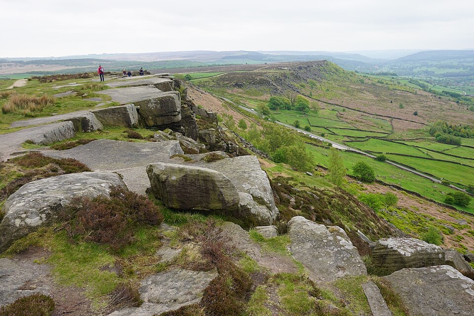 Sight · 3.6 km awayCurbar EdgeWeathered gritstone crags with wide open views over the Derwent Valley
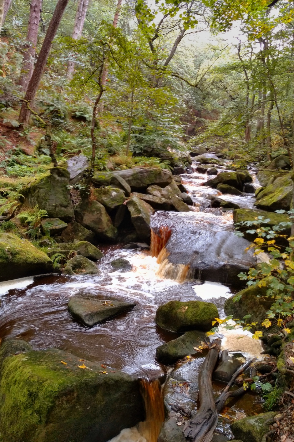 Sight · 4.6 km awayPadley GorgeMossy boulders, tumbling water and ancient oaks in a steep gorge
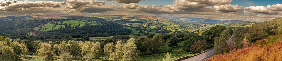 Sight · 5 km awaySurprise ViewWide Hope Valley panorama and gritstone rocks, a short climb up
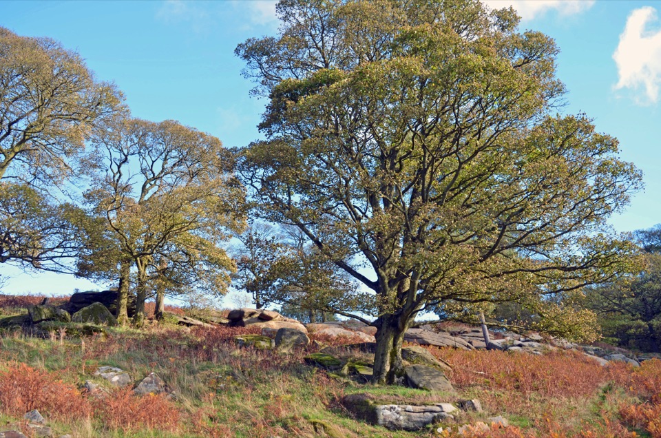 Sight · 5.1 km awayLongshaw EstateAncient woods, gritstone edges and moorland walks above the Derwent Valley
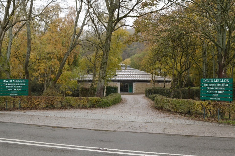 Sight · 5.4 km awayDavid Mellor Visitor CentreHandmade cutlery in a landmark round factory, plus a free museum
Parkwolf’s Peak District ranking
 The Roaches and Lud’s Church Circular from Hen CloudModerate · 12.2 km
 Mam Tor Circular WalkModerate · 4.8 km
 Castleton, Mam Tor & the Great Ridge WalkModerate · 10.5 km
 Stanage Edge from HathersageModerate · 10.6 km
 Kinder Scout Circular via Jacob’s LadderChallenging · 12.1 kmPadley Gorge and Burbage Brook WalkEasy · 3.7 km
The audio tour guide for the drive, plus offline maps, trails, and wildlife heatmaps for when the signal drops.