Parking
Use Woodcroft Car Park at Longshaw for the cafe and route. Spaces are very limited; charges apply.
Peak District National Park, EN
An old ice house and carved stone reward this gentle moorland loop.
Overview
Map & elevation
Plan your hike

The highest, rockiest slopes around here are a summer buffet for grizzly bears.
Peak District Tour Guide
Parkwolf is a GPS audio tour guide for Peak District National Park. As you drive, it chimes in with what’s ahead: hidden gems, upcoming stops, history, geology, and wildlife, right through your car’s speakers.
Recorded for this trailhead
Longshaw Estate Walks and Café“You're approaching Longshaw Estate, where a meadow and restored pond sit beside woodland and open moorland walks.”
Plays as you drive up to this trailhead in the Parkwolf Peak District Tour Guide.
More stories near here in the app
“Fantastic app with many points of information… It’s great to just turn on while you’re driving and it gives you an audio tour of the national Park. We love it!!!!”


Trail guide
The Blue Route is a 2.8-mile loop that starts and ends at Longshaw Cafe. It threads between woodland and open moorland, with broad views over the Derbyshire hills. It’s a good choice for a shorter walk with a little estate history and no major climb. Allow about 1¼ to 1½ hours.
Blue waymarkers and fingerposts lead through woodland paths and across moorland tracks with gentle gradients. Two stops give the walk more character: the Ice House, once used to store winter ice for use through the year, and Companion Stone 2, one of a series of carved stones across the moors. The open sections give you a feel for the surrounding hills; the landmarks add some estate history along the way.
Longshaw Cafe and toilets are beside the start and finish. The estate map describes the route as having no steps or stiles, but the National Trust’s family guidance notes kissing gates and a crossing of a main road, so it isn’t a barrier-free route. Follow the blue waymarkers and fingerposts at junctions. Dogs are welcome outside on a short lead. Woodcroft Car Park is the usual access; spaces are very limited and charges apply.
Wildlife
 248 sightingsRed DeerMost seen around 7 AMSighting map
 36 sightingsRed FoxMost seen around 6 AMSighting map
 15 sightingsEurasian OtterMost seen around 7 PMSighting map
 51 sightingsPeregrine FalconMost seen around 6 PMSighting map
 47 sightingsEuropean Fallow DeerMost seen around 6 AMSighting map
 54 sightingsWestern Roe DeerMost seen around 7 PMSighting map
Sighting maps show where each species has been reported across Peak District. Wildlife moves, so no sighting is guaranteed.
Keep exploring
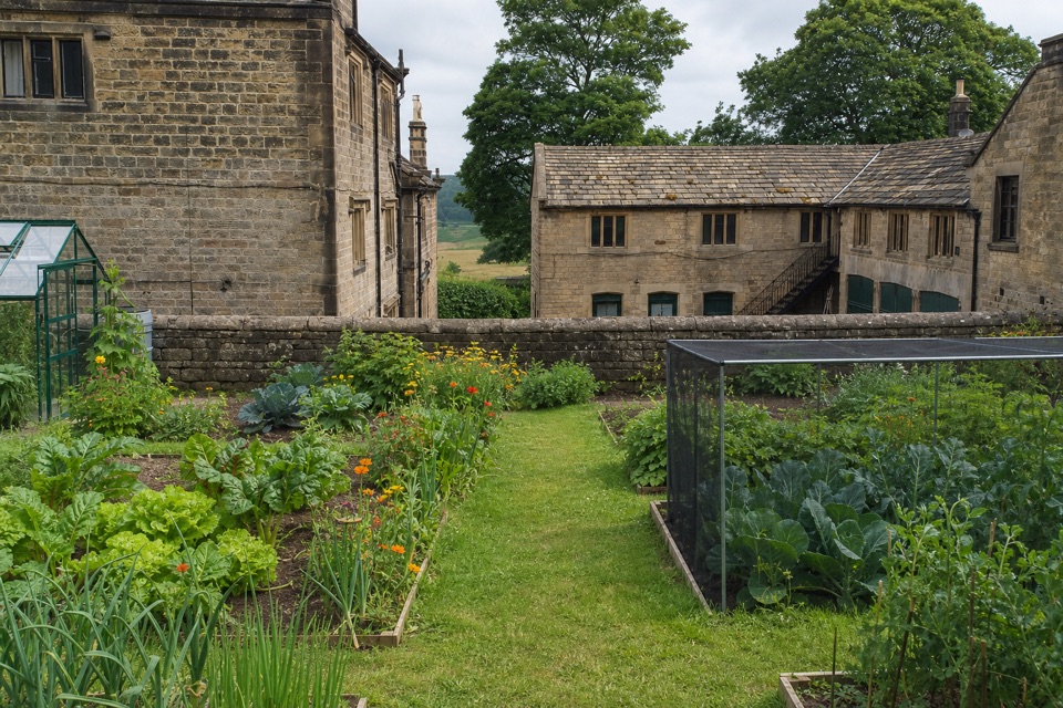
 EasyOrange Route at Longshaw Estate2.7 km · 1 hr · At the trailheadA short, marked loop with a café beside the start.
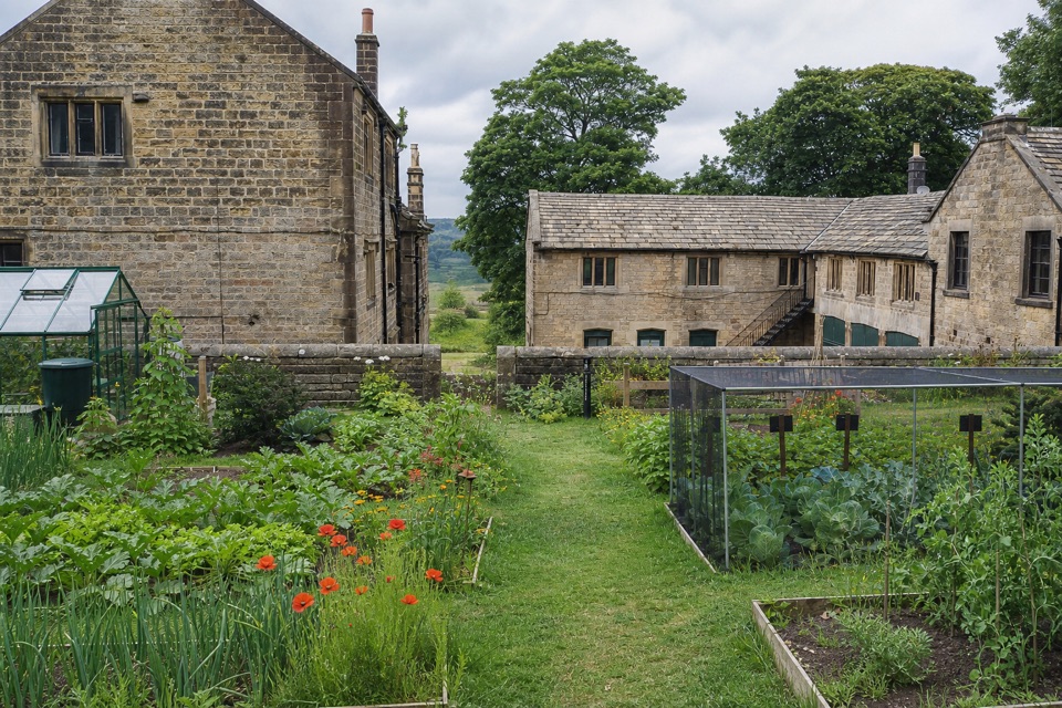
 ModerateLongshaw Woodland Explorer Walk5.3 km · 2.3 hr · At the trailheadPond, packhorse track and a boulder-filled gorge in one loop.EasyPadley Gorge and Burbage Brook Walk3.7 km · 1.3 hr · 0.3 km awayA short woodland-and-stream loop with a surprisingly wild feel.
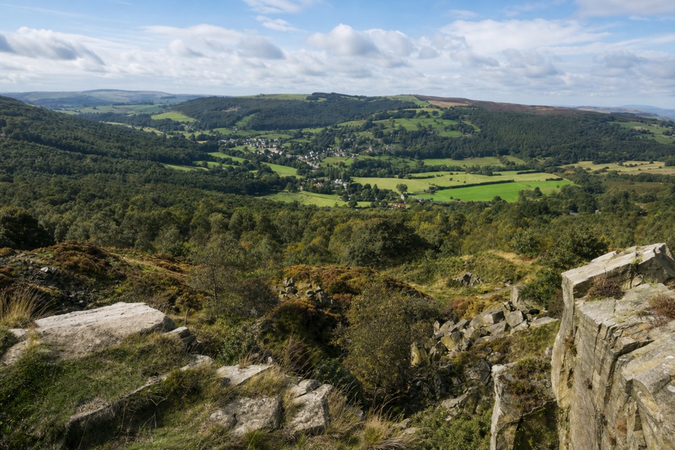 ModerateViews and Woodlands Walk at Longshaw8.4 km · 3.5 hr · 2.3 km awayWoodland paths, a boggy packhorse track, and a clifftop panorama.
 ModerateStanage Edge from Hathersage10.6 km · 3.5 hr · 3.6 km awayGritstone underfoot, climbers below, and the Hope Valley opening out.
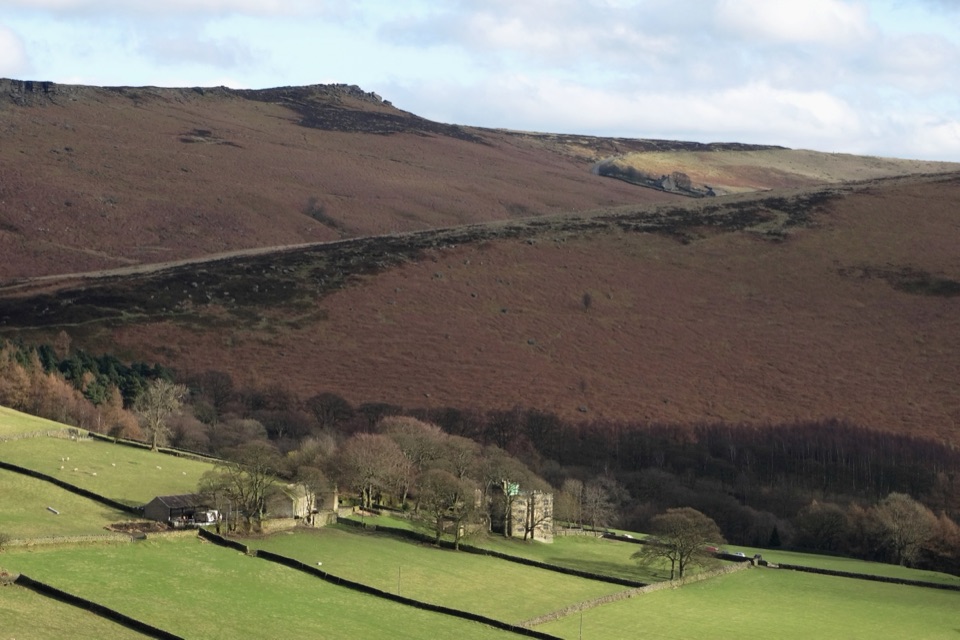 ModerateJane Eyre Hathersage Trail7.8 km · 3.5 hr · 3.8 km awayA literary loop with a steep climb onto Stanage Edge.
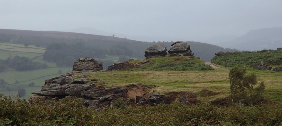 ModerateFroggatt, Curbar and White Edge Red Deer Circular Walk9.6 km · 3 hr · 5.2 km awayThree gritstone edges, a red deer moor and a pub halfway round.
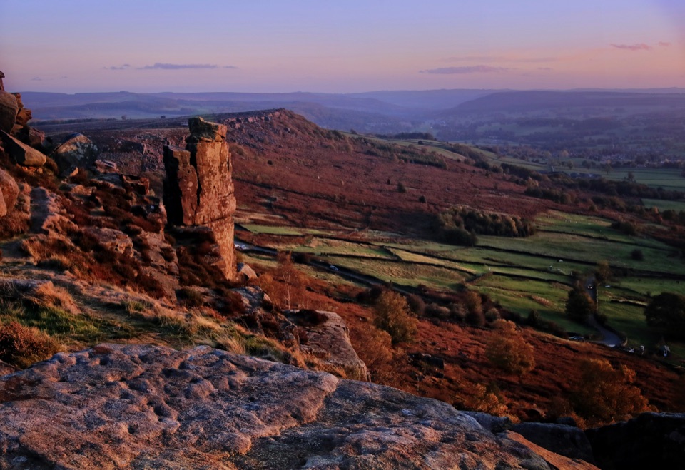 ModerateCurbar, Birchen Edge, Baslow Edge and Curbar Edge Loop13.5 km · 4 hr · 5.5 km awayThree gritstone edges, the Three Ships, and one boggy moor crossing.
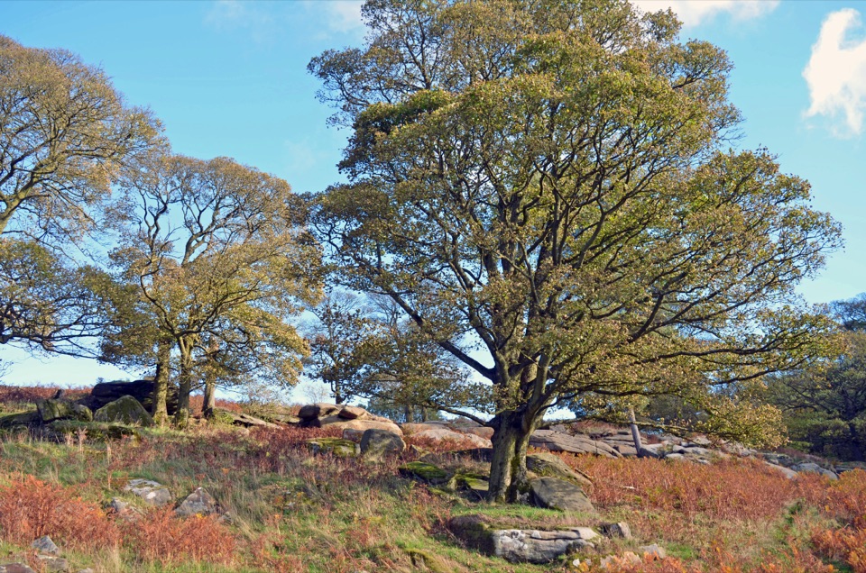 Sight · 0.7 km awayLongshaw EstateAncient woods, gritstone edges and moorland walks above the Derwent Valley
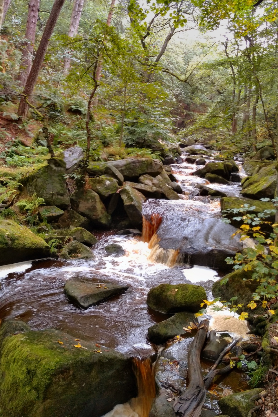 Sight · 1.3 km awayPadley GorgeMossy boulders, tumbling water and ancient oaks in a steep gorge
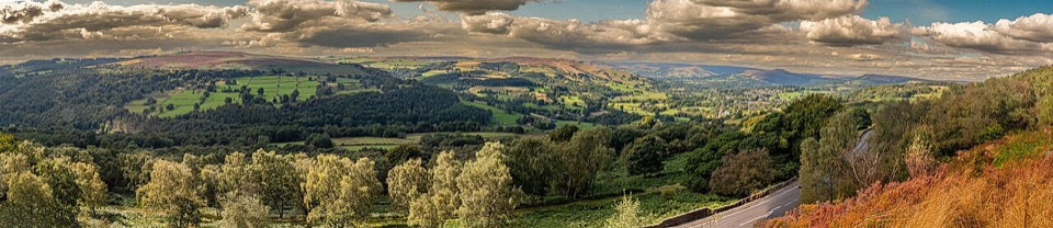 Sight · 1.6 km awaySurprise ViewWide Hope Valley panorama and gritstone rocks, a short climb up
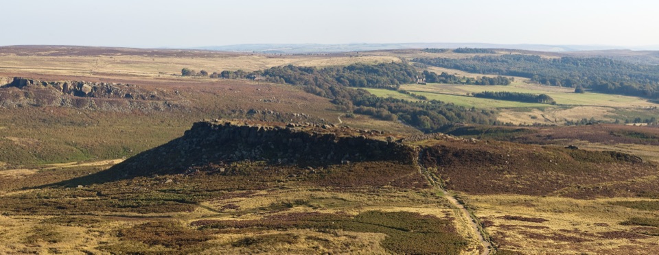 Sight · 1.6 km awayCarl WarkBelieved Iron Age hillfort perched on gritstone above open moorland
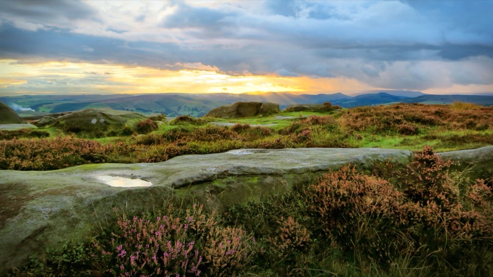 Sight · 2.2 km awayHigger TorBoulder-strewn gritstone plateau with huge views over Burbage Moor
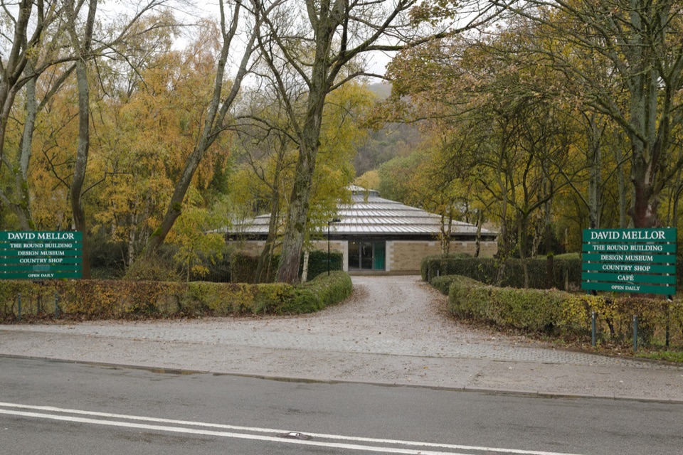 Sight · 3.3 km awayDavid Mellor Visitor CentreHandmade cutlery in a landmark round factory, plus a free museum
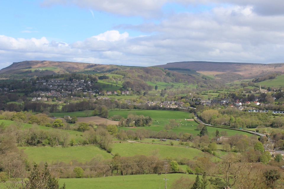 Sight · 3.7 km awayHathersageGritstone-edge village base with open-air pool and Jane Eyre echoes
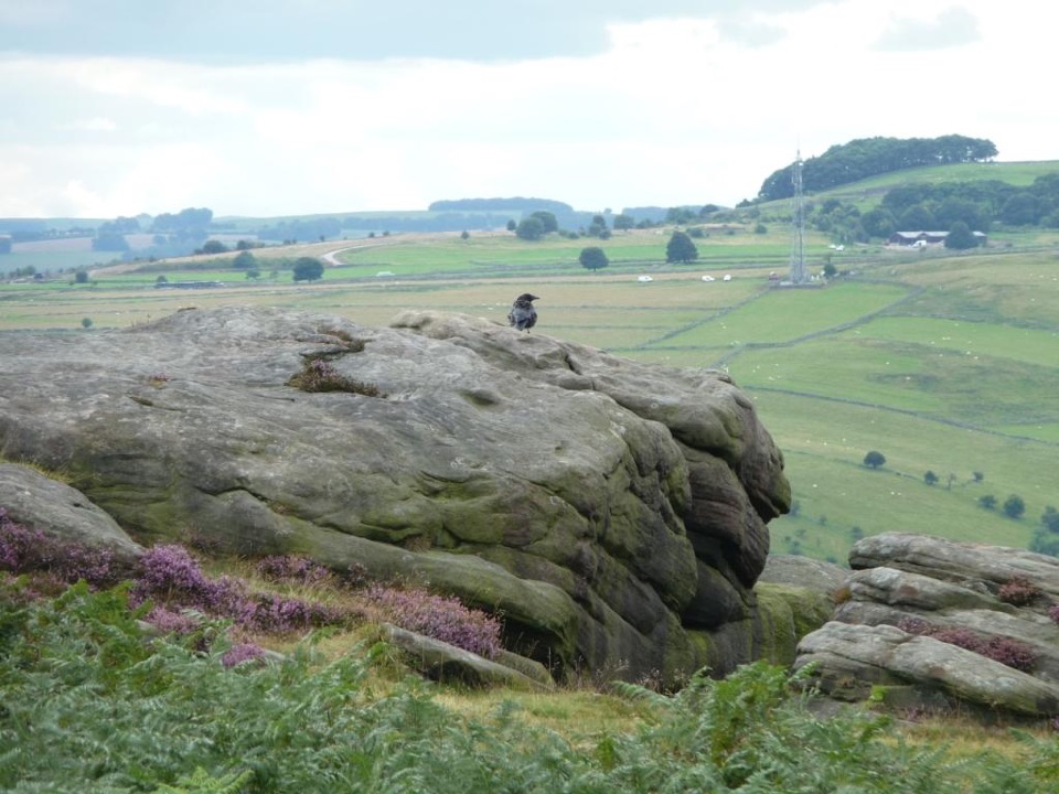 Sight · 3.7 km awayFroggatt EdgeGritstone clifftop walking and slab climbing above the Derwent Valley
Parkwolf’s Peak District ranking
 The Roaches and Lud’s Church Circular from Hen CloudModerate · 12.2 km
 Mam Tor Circular WalkModerate · 4.8 km
 Castleton, Mam Tor & the Great Ridge WalkModerate · 10.5 kmStanage Edge from HathersageModerate · 10.6 km
 Kinder Scout Circular via Jacob’s LadderChallenging · 12.1 kmPadley Gorge and Burbage Brook WalkEasy · 3.7 km
The audio tour guide for the drive, plus offline maps, trails, and wildlife heatmaps for when the signal drops.