Parking
Starts and finishes at Woodbank Park, Turncroft Lane, Offerton, Stockport SK1 4JR. Two car parks are available within the park; Stockport Station is about 2 km away.
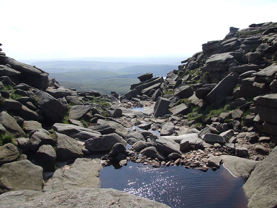
Peak District National Park, EN
A 13-stage loop from Kinder’s rough moors to limestone dales.
Overview
Map & elevation
Plan your hike

The highest, rockiest slopes around here are a summer buffet for grizzly bears.
Peak District Tour Guide
Parkwolf is a GPS audio tour guide for Peak District National Park. As you drive, it chimes in with what’s ahead: hidden gems, upcoming stops, history, geology, and wildlife, right through your car’s speakers.
“Fantastic app with many points of information… It’s great to just turn on while you’re driving and it gives you an audio tour of the national Park. We love it!!!!”


Trail guide
Peak Way Walk is a circular long-distance route from Woodbank Memorial Park in Stockport through the Dark and White Peak, then back by Lyme Park and the Macclesfield Canal. It is laid out in 13 stages of 8.6 to 16.2 miles; expect 70 to 80 hours of walking, usually 11 to 15 days with overnight stops. The published itinerary calls it 155 miles. A detailed mapped trace measures 152.7 miles, so treat 155 as the rounded planning figure rather than a measured GPS total.
Canal towpath and riverside paths lead out through Marple’s viaduct and aqueduct, then along the Goyt to Hayfield. William Clough climbs steeply onto Kinder Scout, where rough, stony moorland gives way to Jacob’s Ladder down to Edale. Fields rise to Rushup Edge and Mam Tor’s clear Great Ridge, with views into Hope and Edale valleys. After a level stretch beside Derwent Reservoir, the route climbs to Derwent Edge’s gritstone formations and Bamford Edge above Ladybower. It then follows about four miles of Stanage Edge before Higger Tor and the descent through Padley Gorge.
The route keeps changing character: Froggatt and Curbar edges lead through Chatsworth and Edensor, then the River Wye toward Matlock. It crosses the High Peak Trail and Carsington before Dovedale’s stepping stones, Milldale, Wolfscote Dale and Beresford Dale. From Monyash and Magpie Mine it continues through Monsal Dale, along the Monsal Trail and through Chee Dale before climbing to Buxton. Reservoir paths and moorland lead to Whaley Bridge; the last stage passes Lyme Hall and returns by canal, the Middlewood Way and the Goyt. Ken Reece devised the route during lockdown to link the landscapes he loved.
This is a demanding multi-day undertaking, not a day hike. The route has no signposts or waymarkers, so bring the official guide and suitable map-based navigation; each day ranges from a moderate village-to-village walk to a long, steep moorland stage. Woodbank Park has two car parks, and Stockport railway station is about 2 km away. Dogs are permitted, but the route’s stiles can be awkward; keep dogs under control around livestock and on a short lead on Peak District open-access land from 1 March to 31 July.
Wildlife
 248 sightingsRed DeerMost seen around 7 AMSighting map
 36 sightingsRed FoxMost seen around 6 AMSighting map
 15 sightingsEurasian OtterMost seen around 7 PMSighting map
 51 sightingsPeregrine FalconMost seen around 6 PMSighting map
 47 sightingsEuropean Fallow DeerMost seen around 6 AMSighting map
 54 sightingsWestern Roe DeerMost seen around 7 PMSighting map
Sighting maps show where each species has been reported across Peak District. Wildlife moves, so no sighting is guaranteed.
Keep exploring
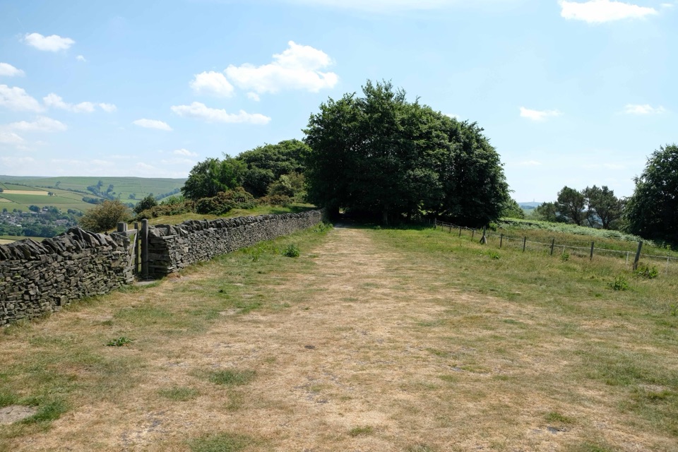 ChallengingGritstone Trail56.3 km · 18.5 hr · 8.8 km awayA 35-mile gritstone ridge route from Disley to Kidsgrove.
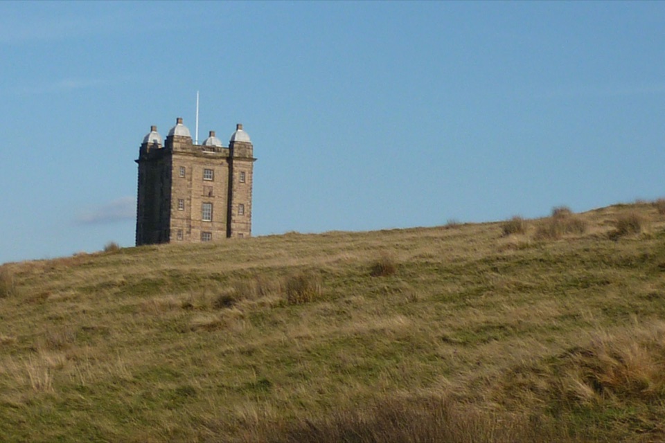 EasyA Walk to The Cage at Lyme1.9 km · 45 min · 9.8 km awayA steep little climb opens two big horizons from The Cage.
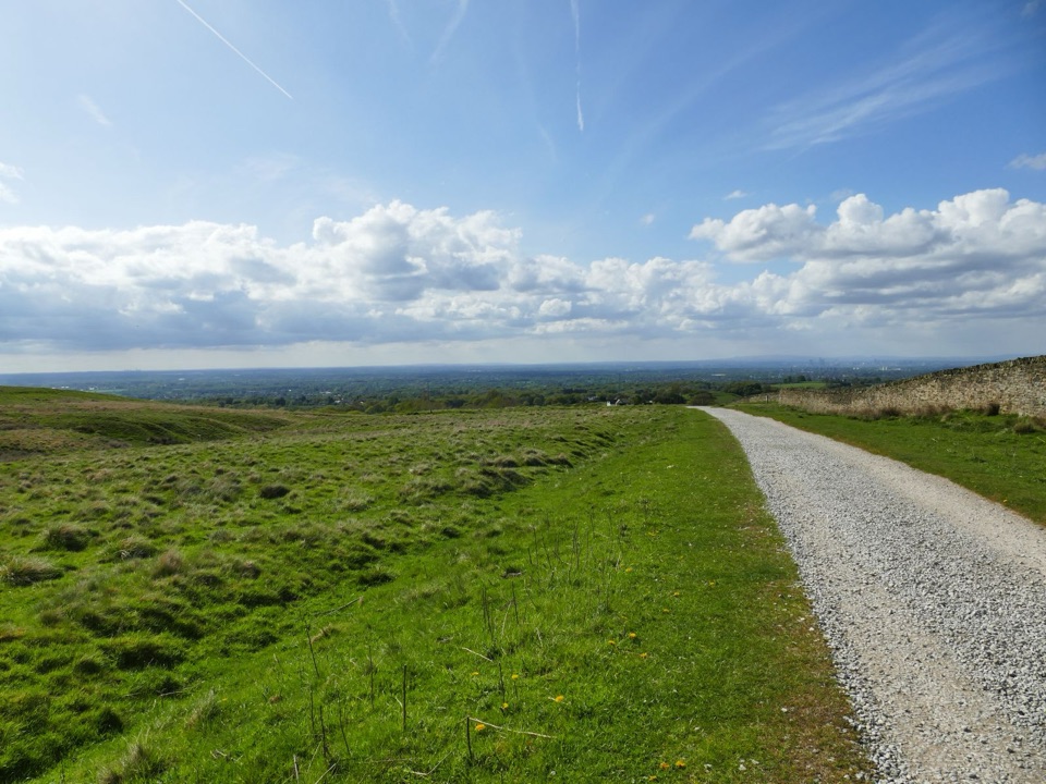 EasyLyme Park Miles Without Stiles3.2 km · 1 hr · 9.8 km awayA gentle surfaced walk to Lyme's deer-sanctuary views
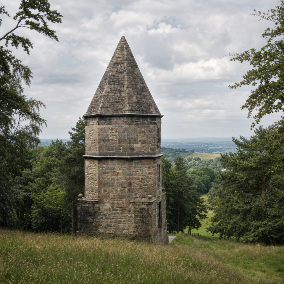 ModerateA Walk to the Lantern at Lyme2.7 km · 1.5 hr · 9.8 km awayA short uphill loop to a stone tower and Cheshire views.
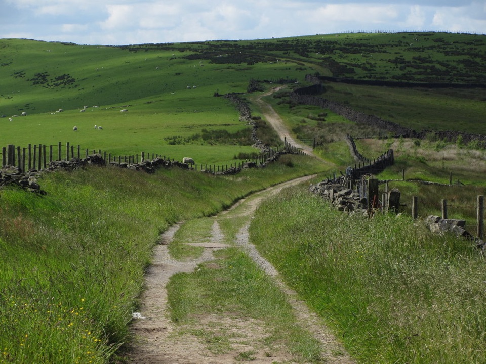 ModerateSouth Perimeter Walk at Lyme11.3 km · 3.5 hr · 9.8 km awayAn estate loop for old cross stones and a seven-county view.
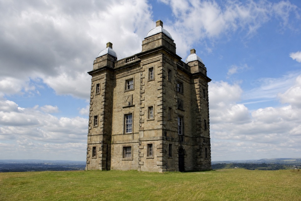 EasyStep-Free Cage and Deer Sanctuary View Walk at Lyme3.6 km · 45 min · 9.8 km awayA level estate walk to deer views and an old hunting lodge.
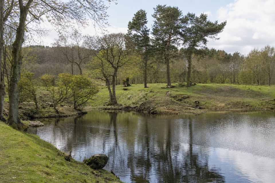 ModerateLime Avenue Ponds Walk3.2 km · 1 hr · 9.8 km awayRestored ponds and a tree-lined avenue on a short estate loop.
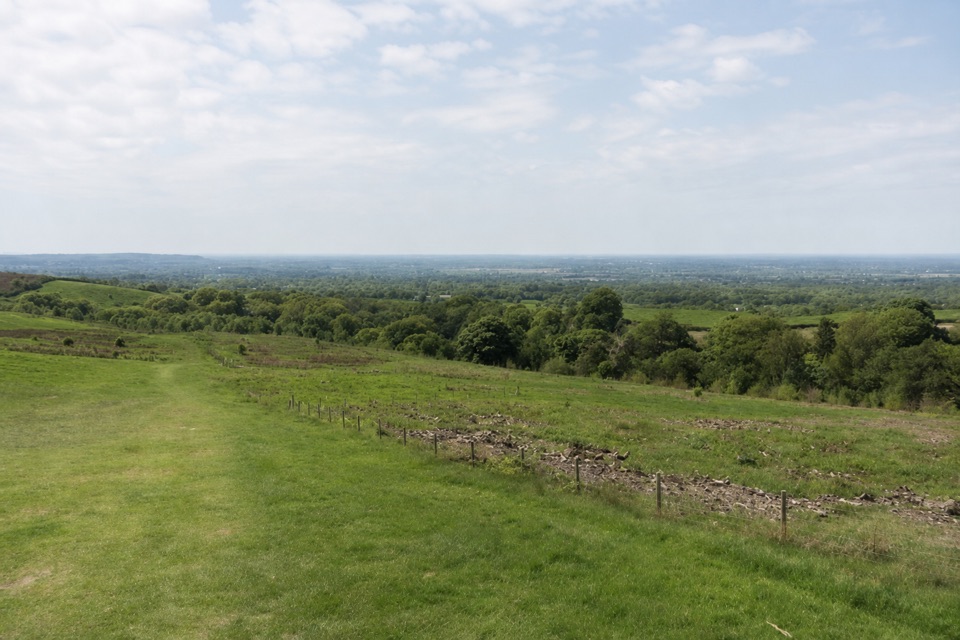 EasyPaddock Cottage Walk3.3 km · 1 hr · 9.9 km awayA meadow and beech wood lead to a cottage above Cheshire.
Parkwolf’s Peak District ranking
 The Roaches and Lud’s Church Circular from Hen CloudModerate · 12.2 km
 Mam Tor Circular WalkModerate · 4.8 km
 Castleton, Mam Tor & the Great Ridge WalkModerate · 10.5 km
 Stanage Edge from HathersageModerate · 10.6 km
 Kinder Scout Circular via Jacob’s LadderChallenging · 12.1 km
 Padley Gorge and Burbage Brook WalkEasy · 3.7 km
The audio tour guide for the drive, plus offline maps, trails, and wildlife heatmaps for when the signal drops.