Parking
Lyme Park main car park by the kiosk and house, SK12 2NR, about a mile inside the estate from the park entrance.
Peak District National Park, EN
A short uphill loop to a stone tower and Cheshire views.
Overview
Map & elevation
Plan your hike

The highest, rockiest slopes around here are a summer buffet for grizzly bears.
Peak District Tour Guide
Parkwolf is a GPS audio tour guide for Peak District National Park. As you drive, it chimes in with what’s ahead: hidden gems, upcoming stops, history, geology, and wildlife, right through your car’s speakers.
Recorded for this area
Lyme Park House and Deer Park“You're coming up on Lyme Park, where a grand house, formal gardens and a huge deer park can easily fill half a day.”
Plays on the road 0.1 km from the trailhead in the Parkwolf Peak District Tour Guide.
More stories near here in the app
“Fantastic app with many points of information… It’s great to just turn on while you’re driving and it gives you an audio tour of the national Park. We love it!!!!”


Trail guide
This 1.7-mile loop from Lyme's main car park takes about 90 minutes. It passes the house and Stables, crosses Turfhouse Meadow to the Lantern, then returns via Caters Slack and the deer sanctuary. Expect an uphill section and several stiles, with broad views across the Cheshire Plain.
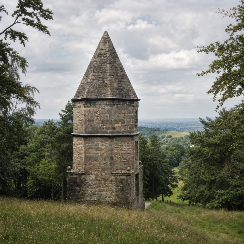
From the kiosk, walk toward Lyme House, then take the uphill tarmac road past the Stables. Turn through the gate by the old Nursery Garden into Turfhouse Meadow. Leave the track at a gate and stile; climb beside the wall with Lantern Wood on your left. Cross another stile into the trees, where the Lantern sits downhill on your left. Local tradition says its top third once stood on the house roof, where Minerva stands now. Continue through the wood to Caters Slack for views toward Kinder Scout, the Cheshire Plain and Stockport. At the Lantern, look back toward the house to see how the tower sits in the estate.
From Caters Slack, descend left to a stile and road, then return past the deer sanctuary, Stables and house. The open climb is uneven; stay on paths near the deer, especially when hinds protect calves in early summer and during the autumn rut. Dogs are welcome on a lead. The Timber Yard café by the house serves drinks, one-pot meals, cakes and light bites before or after the walk.
Wildlife
 248 sightingsRed DeerMost seen around 7 AMSighting map
 36 sightingsRed FoxMost seen around 6 AMSighting map
 15 sightingsEurasian OtterMost seen around 7 PMSighting map
 51 sightingsPeregrine FalconMost seen around 6 PMSighting map
 47 sightingsEuropean Fallow DeerMost seen around 6 AMSighting map
 54 sightingsWestern Roe DeerMost seen around 7 PMSighting map
Sighting maps show where each species has been reported across Peak District. Wildlife moves, so no sighting is guaranteed.
Keep exploring
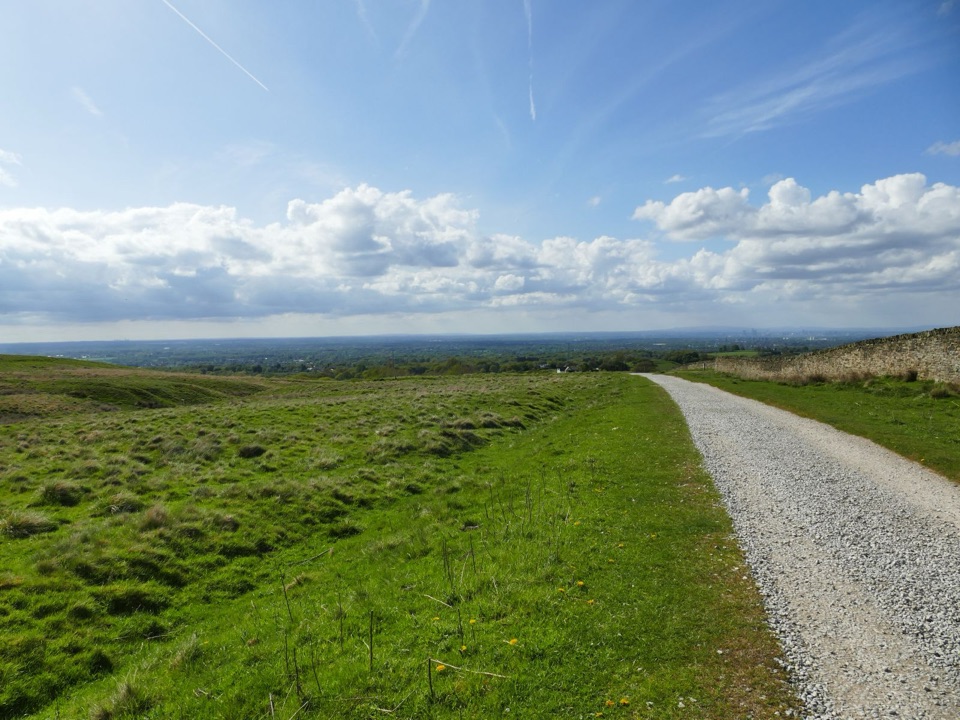 EasyLyme Park Miles Without Stiles3.2 km · 1 hr · At the trailheadA gentle surfaced walk to Lyme's deer-sanctuary views
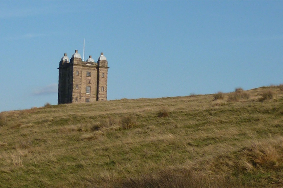 EasyA Walk to The Cage at Lyme1.9 km · 45 min · At the trailheadA steep little climb opens two big horizons from The Cage.
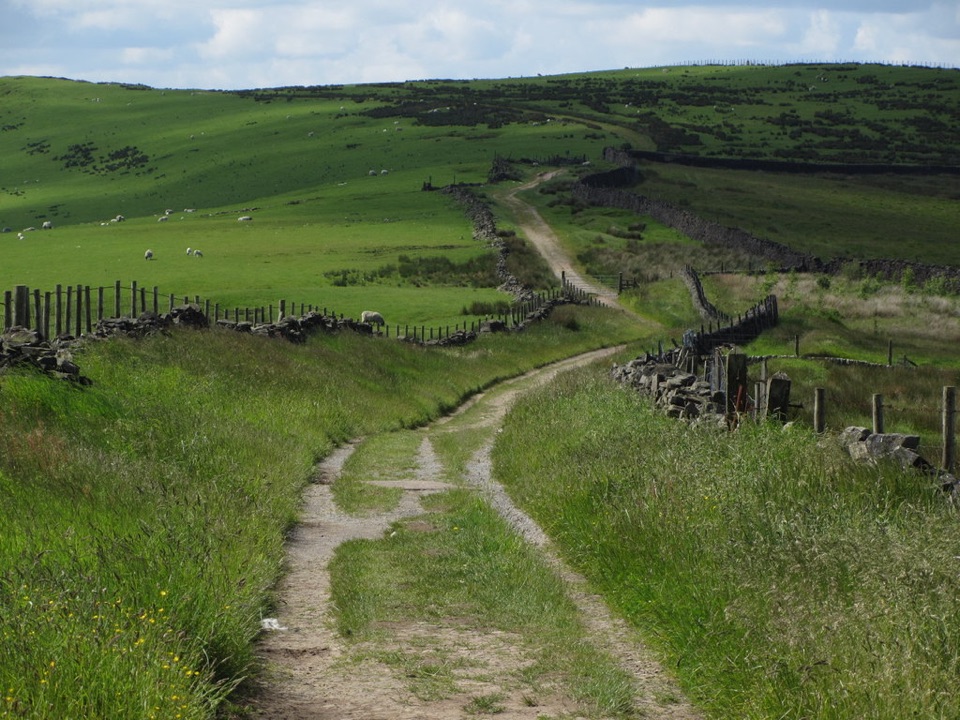 ModerateSouth Perimeter Walk at Lyme11.3 km · 3.5 hr · 0.1 km awayAn estate loop for old cross stones and a seven-county view.
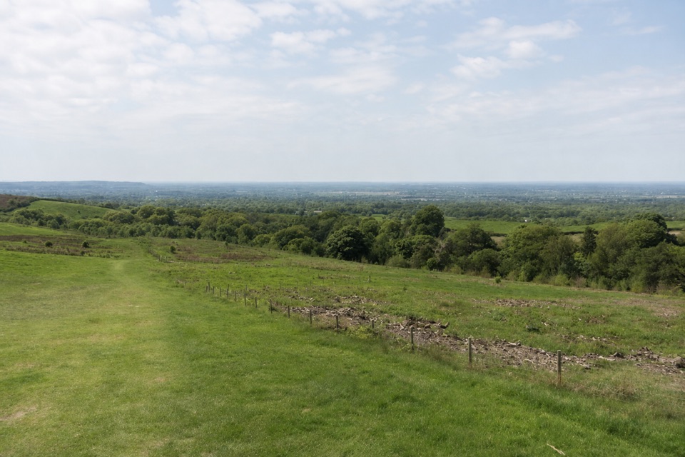 EasyPaddock Cottage Walk3.3 km · 1 hr · 0.1 km awayA meadow and beech wood lead to a cottage above Cheshire.
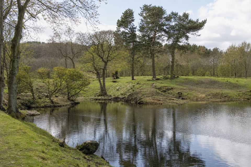 ModerateLime Avenue Ponds Walk3.2 km · 1 hr · 0.1 km awayRestored ponds and a tree-lined avenue on a short estate loop.
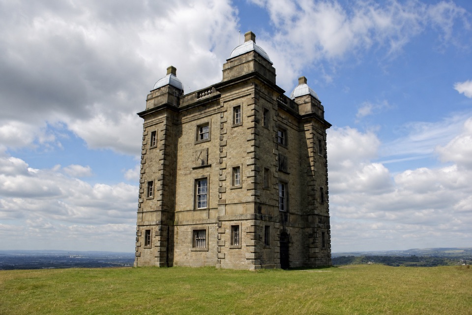 EasyStep-Free Cage and Deer Sanctuary View Walk at Lyme3.6 km · 45 min · 0.2 km awayA level estate walk to deer views and an old hunting lodge.
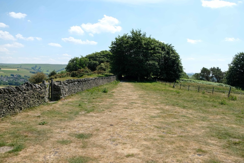 ChallengingGritstone Trail56.3 km · 18.5 hr · 2.4 km awayA 35-mile gritstone ridge route from Disley to Kidsgrove.
 EasySett Valley Trail4 km · 1.3 hr · 8.5 km awayAn easy former-railway path linking Hayfield and New Mills.
 Sight · 0.1 km awayLyme ParkRegency house, reflecting lake and 1,400 acres of moor and deer
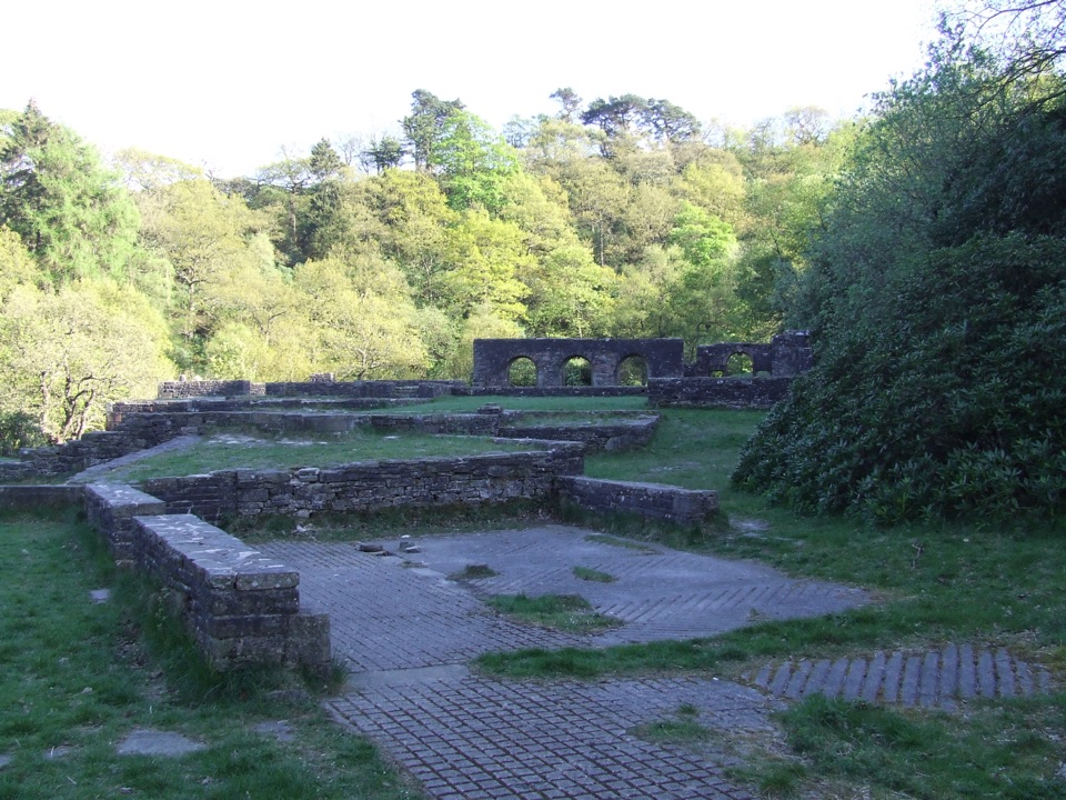 Sight · 8.9 km awayErrwood HallArched stone walls of a demolished Victorian mansion, deep in woodland
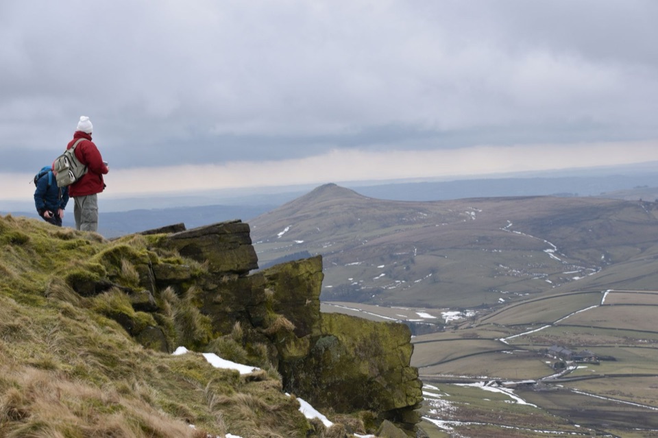 Sight · 9.2 km awayShining TorCheshire's highest point, a windswept ridge walk with wide moorland views
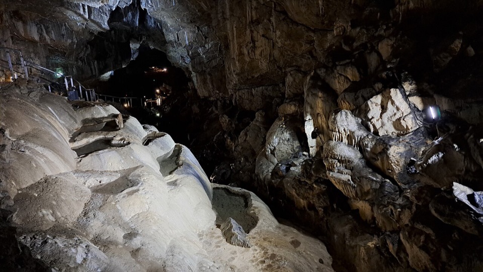 Sight · 13.1 km awayPoole's CavernAncient limestone chambers, poached-egg stalagmites, and a steady 7.5°C
 Sight · 13.1 km awayBuxtonHeritage trail, historic Crescent and baths, gardens, theatre and market
 Sight · 13.2 km awayKinder ScoutWindswept 636 m gritstone plateau with tors, peat and long views
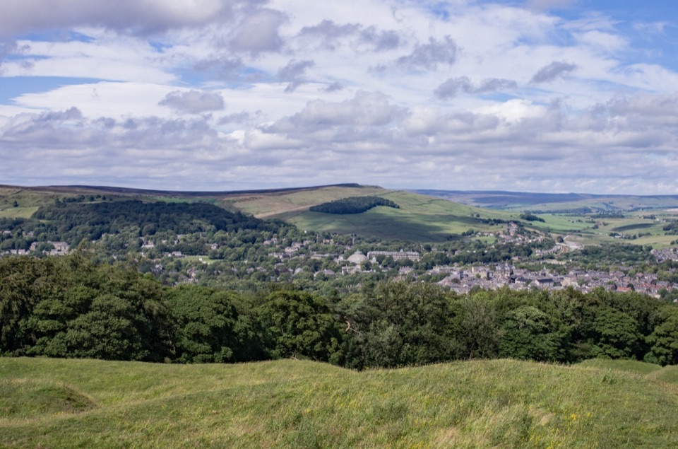 Sight · 14 km awaySolomon's TempleHilltop Victorian folly with wide views over Buxton and the hills
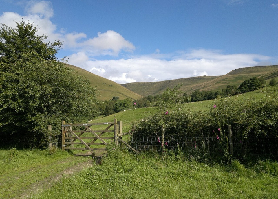 Campground · 14.3 km awayUpper Booth Farm CampsiteQuiet car-free camping fields below Kinder on the Pennine Way
Parkwolf’s Peak District ranking
 The Roaches and Lud’s Church Circular from Hen CloudModerate · 12.2 km
 Mam Tor Circular WalkModerate · 4.8 km
 Castleton, Mam Tor & the Great Ridge WalkModerate · 10.5 km
 Stanage Edge from HathersageModerate · 10.6 km
 Kinder Scout Circular via Jacob’s LadderChallenging · 12.1 km
 Padley Gorge and Burbage Brook WalkEasy · 3.7 km
The audio tour guide for the drive, plus offline maps, trails, and wildlife heatmaps for when the signal drops.