Parking
Enter Lyme from the A6 and use the marked main car park. Accessible Blue Badge bays are also listed at the main car park and by the Orangery. Park only in the estate's marked bays.
Peak District National Park, EN
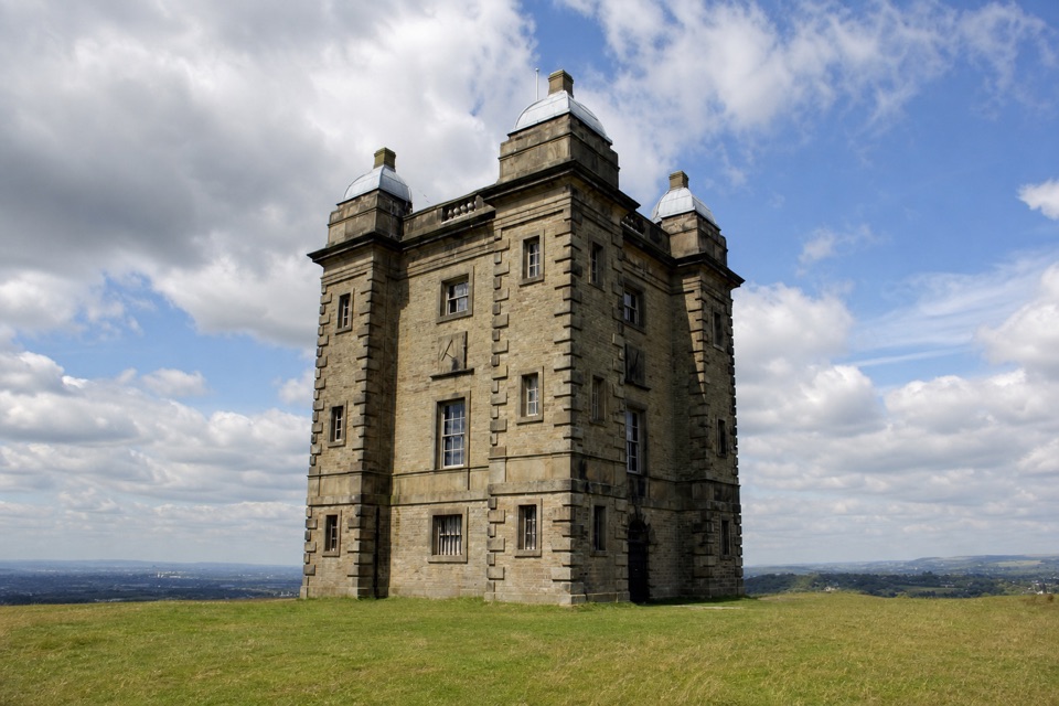
A level estate walk to deer views and an old hunting lodge.
Overview
Map & elevation
Plan your hike

The highest, rockiest slopes around here are a summer buffet for grizzly bears.
Peak District Tour Guide
Parkwolf is a GPS audio tour guide for Peak District National Park. As you drive, it chimes in with what’s ahead: hidden gems, upcoming stops, history, geology, and wildlife, right through your car’s speakers.
Recorded for this trailhead
Lyme Park House and Deer Park“You're coming up on Lyme Park, where a grand house, formal gardens and a huge deer park can easily fill half a day.”
Plays as you drive up to this trailhead in the Parkwolf Peak District Tour Guide.
More stories near here in the app
“Fantastic app with many points of information… It’s great to just turn on while you’re driving and it gives you an audio tour of the national Park. We love it!!!!”


Trail guide
This is a 2.2-mile out-and-back from Lyme Park's main car park to East Lodge, with roughly 1.1 miles each way on estate road and compacted gravel. This is a level, gentle look at Lyme rather than a hill walk: you get views of The Cage, the deer sanctuary and the Cheshire countryside without taking the steeper Cage Hill path. Allow about 45 minutes, more if you stop.
From the car park, the path rises gently toward the house, then turns onto the estate road. It passes the working Stables and opens views of The Cage across the park. Farther on, look left into the deer sanctuary, where deer retreat from visitors; Highland cattle sometimes graze on the other side. The end is East Lodge at Lyme's eastern boundary, beside its dry-stone wall. The return is the same walk back, with a different view toward the house and Cage. The Cage is a view on this walk, not a climb up Cage Hill.
This route is step-free and suitable for prams and a tramper, but compacted gravel can make it unsuitable for standard wheelchairs and muddy in poor conditions. Dogs are welcome but should stay on a short lead around deer and grazing cattle. Start from the marked main car park; accessible bays are also available by the Orangery. Toilets and the Timber Yard Café are back by the estate facilities, not out at East Lodge. The café is the useful post-walk stop for soup, sandwiches and cakes.
Wildlife
 248 sightingsRed DeerMost seen around 7 AMSighting map
 36 sightingsRed FoxMost seen around 6 AMSighting map
 15 sightingsEurasian OtterMost seen around 7 PMSighting map
 51 sightingsPeregrine FalconMost seen around 6 PMSighting map
 47 sightingsEuropean Fallow DeerMost seen around 6 AMSighting map
 54 sightingsWestern Roe DeerMost seen around 7 PMSighting map
Sighting maps show where each species has been reported across Peak District. Wildlife moves, so no sighting is guaranteed.
Keep exploring
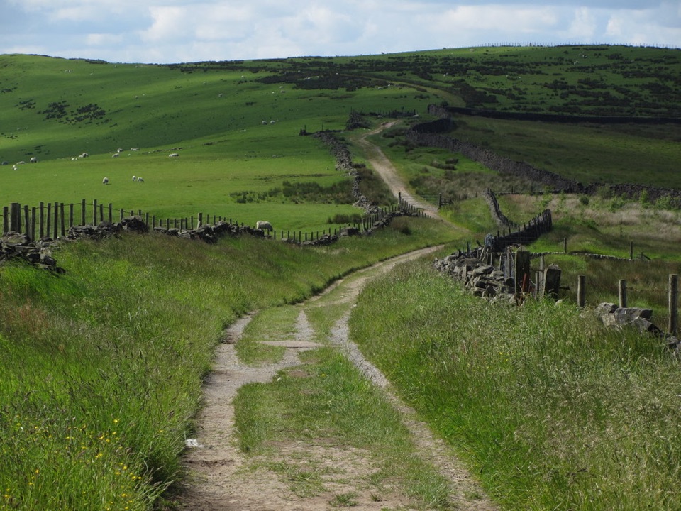 ModerateSouth Perimeter Walk at Lyme11.3 km · 3.5 hr · 0.1 km awayAn estate loop for old cross stones and a seven-county view.
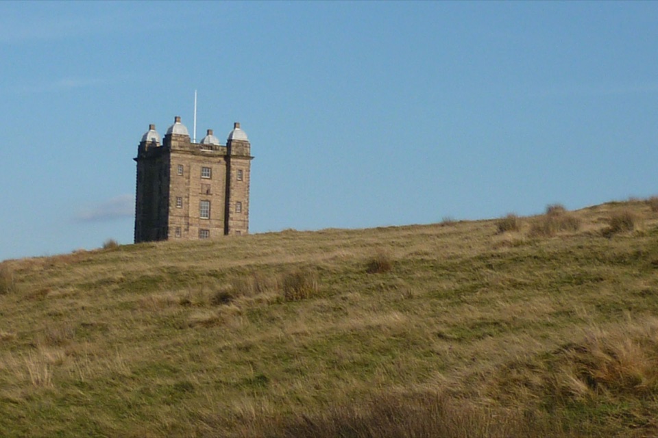 EasyA Walk to The Cage at Lyme1.9 km · 45 min · 0.1 km awayA steep little climb opens two big horizons from The Cage.
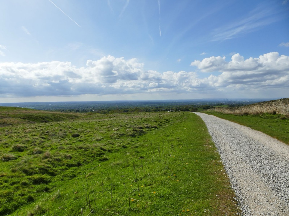 EasyLyme Park Miles Without Stiles3.2 km · 1 hr · 0.2 km awayA gentle surfaced walk to Lyme's deer-sanctuary views
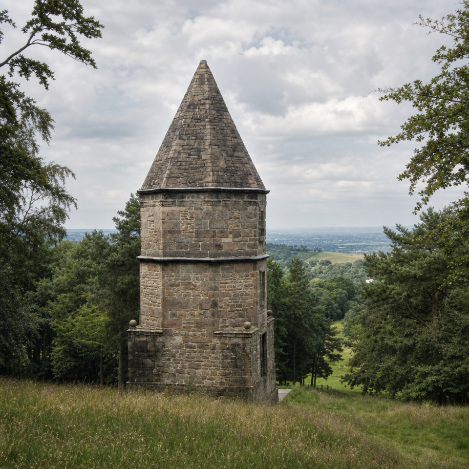 ModerateA Walk to the Lantern at Lyme2.7 km · 1.5 hr · 0.2 km awayA short uphill loop to a stone tower and Cheshire views.
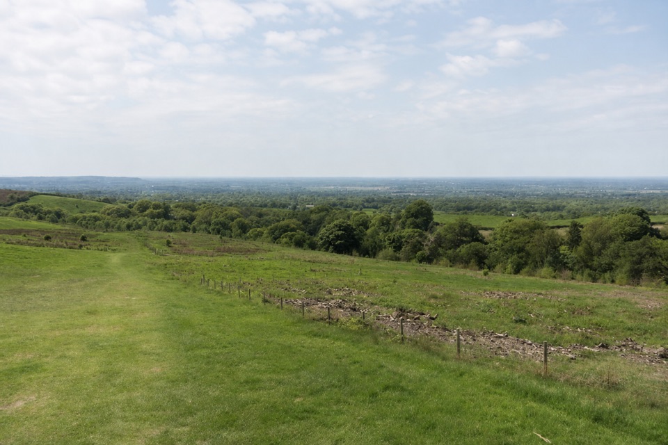 EasyPaddock Cottage Walk3.3 km · 1 hr · 0.3 km awayA meadow and beech wood lead to a cottage above Cheshire.
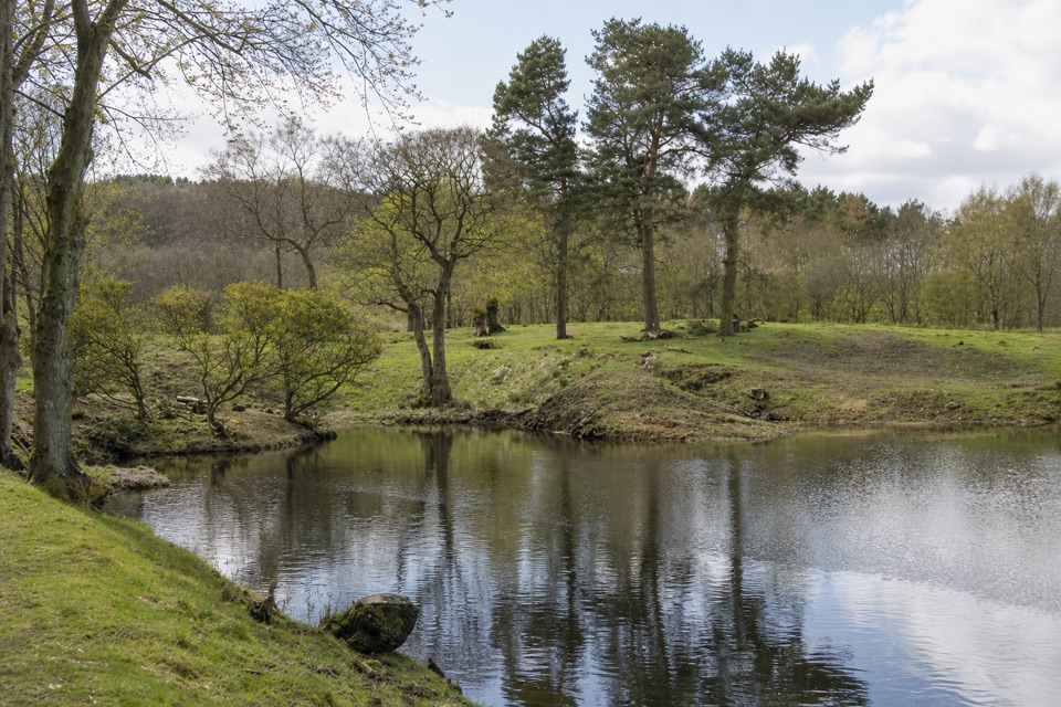 ModerateLime Avenue Ponds Walk3.2 km · 1 hr · 0.3 km awayRestored ponds and a tree-lined avenue on a short estate loop.
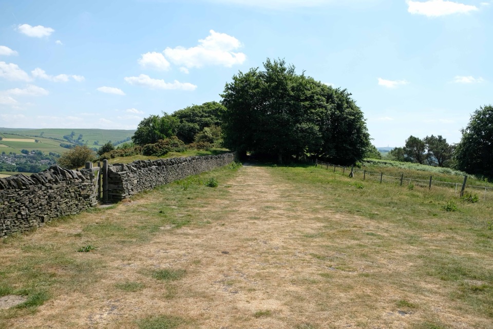 ChallengingGritstone Trail56.3 km · 18.5 hr · 2.5 km awayA 35-mile gritstone ridge route from Disley to Kidsgrove.
 EasySett Valley Trail4 km · 1.3 hr · 8.7 km awayAn easy former-railway path linking Hayfield and New Mills.
 Sight · 0.3 km awayLyme ParkRegency house, reflecting lake and 1,400 acres of moor and deer
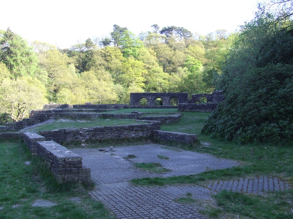 Sight · 8.8 km awayErrwood HallArched stone walls of a demolished Victorian mansion, deep in woodland
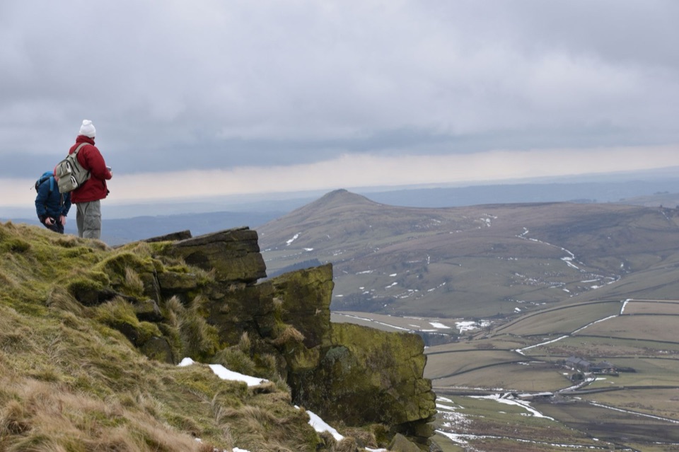 Sight · 9.1 km awayShining TorCheshire's highest point, a windswept ridge walk with wide moorland views
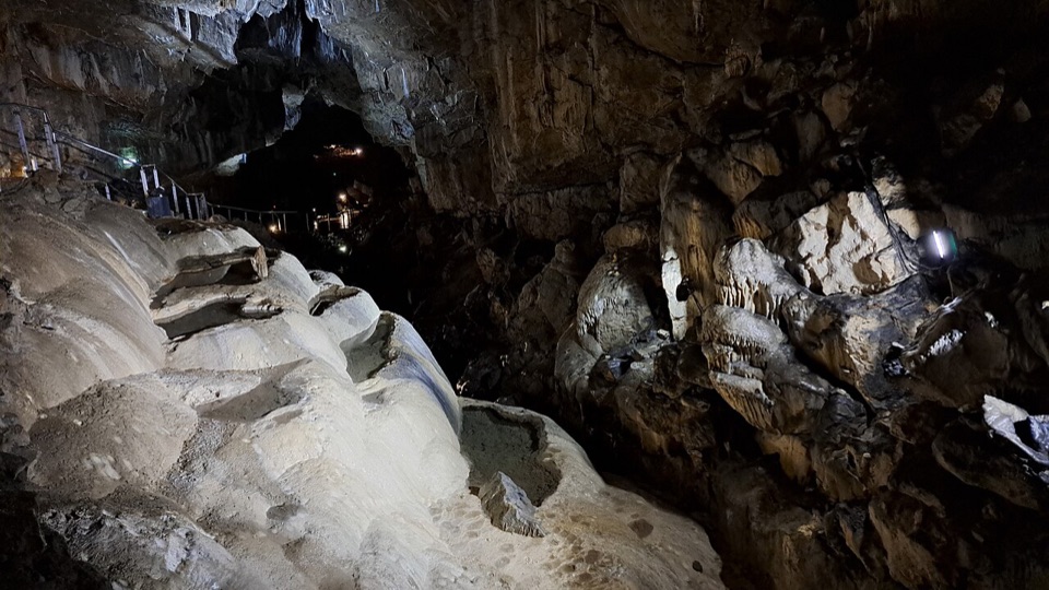 Sight · 13.1 km awayPoole's CavernAncient limestone chambers, poached-egg stalagmites, and a steady 7.5°C
 Sight · 13.1 km awayBuxtonHeritage trail, historic Crescent and baths, gardens, theatre and market
 Sight · 13.3 km awayKinder ScoutWindswept 636 m gritstone plateau with tors, peat and long views
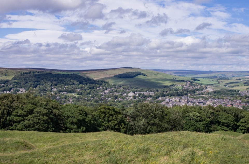 Sight · 14 km awaySolomon's TempleHilltop Victorian folly with wide views over Buxton and the hills
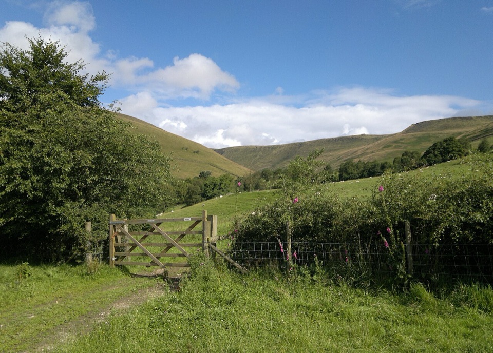 Campground · 14.4 km awayUpper Booth Farm CampsiteQuiet car-free camping fields below Kinder on the Pennine Way
Parkwolf’s Peak District ranking
 The Roaches and Lud’s Church Circular from Hen CloudModerate · 12.2 km
 Mam Tor Circular WalkModerate · 4.8 km
 Castleton, Mam Tor & the Great Ridge WalkModerate · 10.5 km
 Stanage Edge from HathersageModerate · 10.6 km
 Kinder Scout Circular via Jacob’s LadderChallenging · 12.1 km
 Padley Gorge and Burbage Brook WalkEasy · 3.7 km
The audio tour guide for the drive, plus offline maps, trails, and wildlife heatmaps for when the signal drops.