Gritstone Trail in Peak District National Park

Peak District National Park, EN

Gritstone Trail

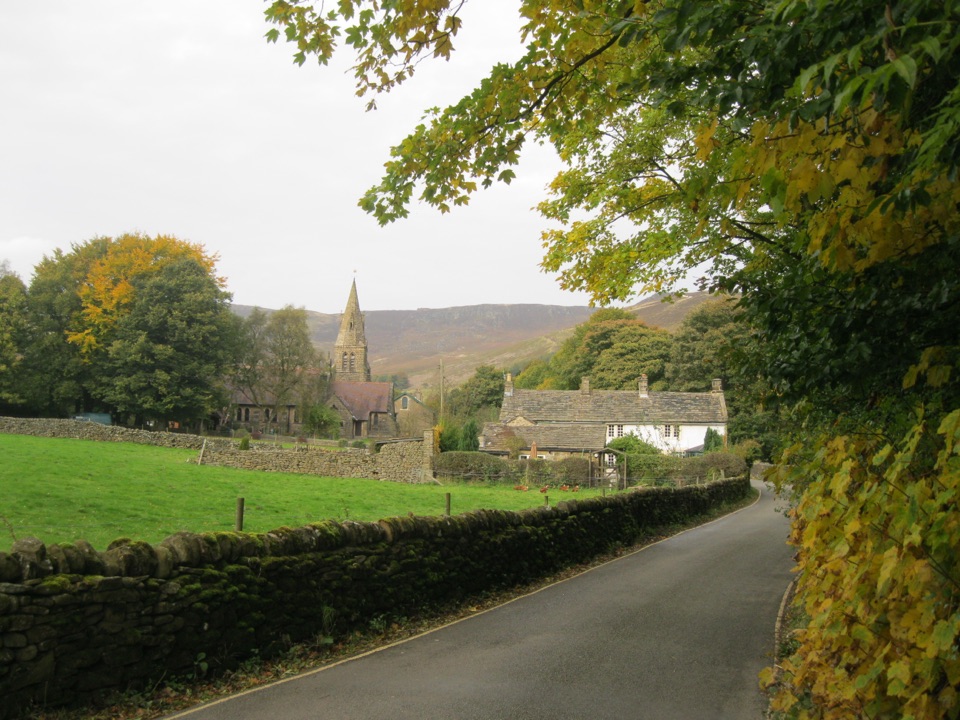
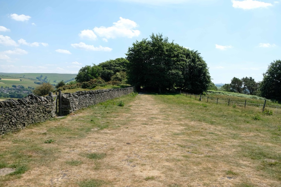
A 35-mile gritstone ridge route from Disley to Kidsgrove.

Photo: Wikimedia Commons
Length
56.3km
Time
18.5hr
Elev. change
256m
Difficulty
Challenging
  • Dogs allowed
  • High point 386 m
  • #36 of 88 in Peak District

Hear the audio tour

Lyme Park House and Deer Park

Overview

About Gritstone Trail

Why go

  • A rare long walk with ridge, moor, woodland and canal scenery
  • Strong landmarks at White Nancy, The Cloud and Mow Cop

Heads up

  • Long, hilly days with many stiles
  • Mud, bog and exposed sections after rain

Map & elevation

The route

Loading the Peak District map
Full map
Elevation130–386 m
TrailheadDisley railway station53.35824, -2.04245
Keep this map with you offline in the Parkwolf app

Plan your hike

Before you go

Parking

This is a linear walk rather than a loop with one trailhead car park. Start at Disley railway station and finish at Kidsgrove railway station. For a shorter section, Tegg's Nose Country Park has a main car park and visitor facilities, and Timbersbrook has a free car park; check the chosen section's access before setting out.


Safety

Expect many stiles, rough or boggy ground, slippery sections and exposed weather on the open ridges. Carry a map and compass because mobile coverage can be unreliable. Dogs must be kept under control around livestock and wildlife. Where the route is diverted around access problems, follow the signed alternative rather than the historic line.

5 active Peak District alerts

  • ClosureA54 Cat and Fiddle road closureThe A54 Macclesfield Main Road (Cat and Fiddle) is fully closed to all traffic from 27 July through 30 October 2026 during phase 1 improvement works.Official details
  • ClosureHooks Carr (Stanage Popular) car park closureHooks Carr (Stanage Popular) car park will be partially or fully closed from 6 October for four weeks.Official details
See all 5 alerts
A park ranger sits on a dash-mounted phone, talking, as Parkwolf’s Tour Guide plays “Army Cutworm Moths: A Grizzly Bear Buffet” on Grand Loop Road below Dunraven Pass in Yellowstone
Parkwolf Tour GuideThe highest, rockiest slopes around here are a summer buffet for grizzly bears.

Peak District Tour Guide

Your drive to Gritstone Trail, narrated.

Parkwolf is a GPS audio tour guide for Peak District National Park. As you drive, it chimes in with what’s ahead: hidden gems, upcoming stops, history, geology, and wildlife, right through your car’s speakers.

Recorded for this area

Lyme Park House and Deer Park
0:00 / 0:36
“You're coming up on Lyme Park, where a grand house, formal gardens and a huge deer park can easily fill half a day.”

Plays on the road 2.4 km from the trailhead in the Parkwolf Peak District Tour Guide.

More stories near here in the app

  • When Lyme's Stags Roar
  • Lyme's Fifty-Year Reward
  • Windgather, the Climbers’ Classroom
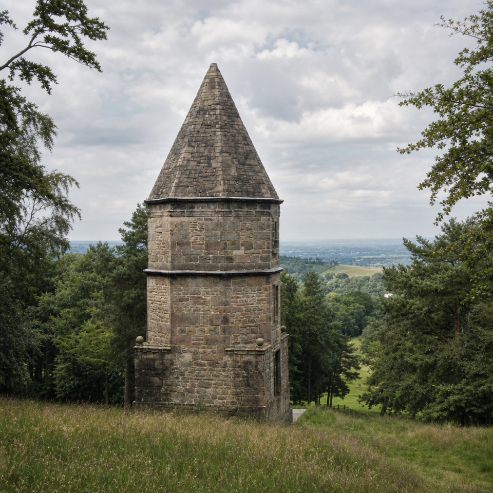
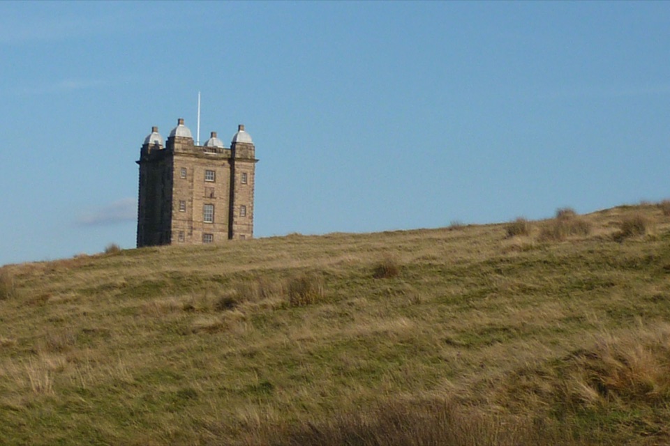
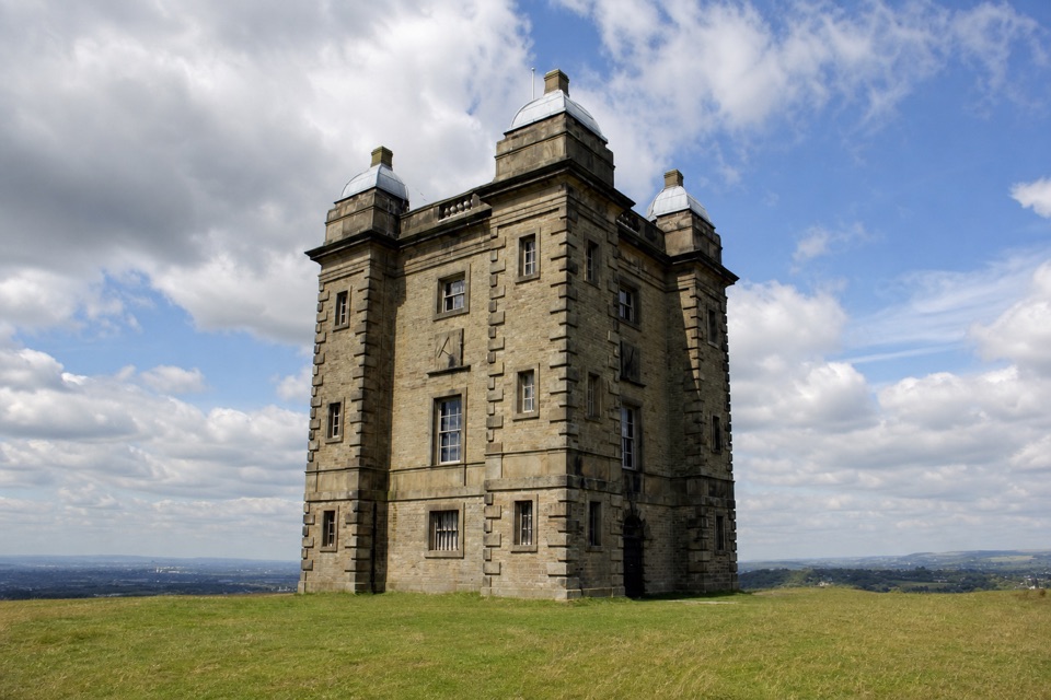
  • Why Lyme's Tower Is Called the Cage
  • 298 audio storiesacross Peak District’s roads, triggered by GPS as you drive
  • Wildlife heatmapsfor Red Deer, Red Fox, Eurasian Otter, and 13 more
  • Works offlinemaps, 88 trails, 76 places, and audio download before you lose signal
  • CarPlay readysimple controls built for the drive
★★★★★
“Fantastic app with many points of information… It’s great to just turn on while you’re driving and it gives you an audio tour of the national Park. We love it!!!!”
JMJamesApp Store review
Download Parkwolf on the App StoreGet Parkwolf on Google Play

4.7 from 8,600+ ratings

Trail guide

Hiking Gritstone Trail

A long walk, not a quick viewThe Gritstone Trail is a 35-mile (56 km) point-to-point route from Disley railway station to…

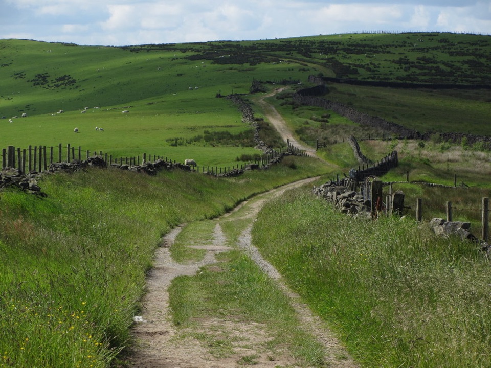
The Gritstone Trail is a 35-mile (56 km) point-to-point route from Disley railway station to Kidsgrove railway station. It links the western hills of the Peak District with a surprisingly varied walk through Lyme Park, open moorland, gritstone edges, farmland, woodland and canal towpaths. Allow about 18 to 19 hours of walking, usually split into three days. Choose it for the journey and the changing landscape, not for one single summit.

Across the high groundFrom Disley, the trail climbs through Lyme Park and out towards Sponds Hill and Bowstones.

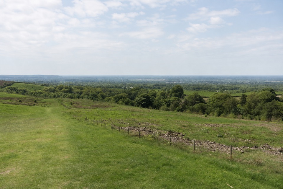
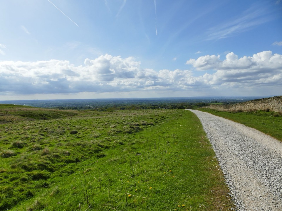
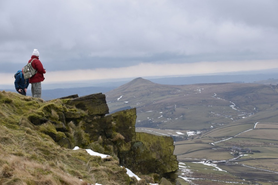
From Disley, the trail climbs through Lyme Park and out towards Sponds Hill and Bowstones. This is the highest part of the route at about 410 metres, with open, windy walking and broad views before a steep approach to White Nancy. The white hilltop monument is visible from a long way off and makes a good landmark as well as a worthwhile photo stop. Frame it with the ridge or the Cheshire Plain rather than treating it as just another path junction.

Gritstone, quarry and canalThe middle section climbs Tegg's Nose, where quarry workings and Bottoms Reservoir break up the…

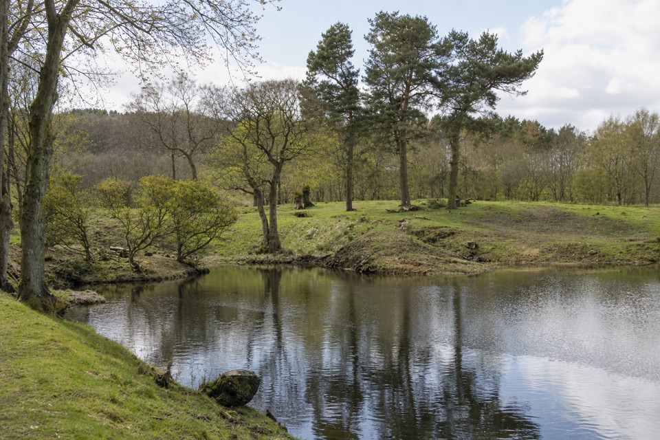
The middle section climbs Tegg's Nose, where quarry workings and Bottoms Reservoir break up the moorland, then continues through mixed woodland and fields towards The Cloud. Its gritstone summit and views are the route's best high-level payoff. Farther south, the walk passes the Old Man of Mow, a roughly 20-metre quarry remnant, and Mow Cop Castle, a 1754 folly. The last miles change character again, following the Macclesfield and Trent and Mersey canals towards Kidsgrove.

Make it workThis is a substantial, hilly long-distance walk with many stiles, including ladder stiles.

This is a substantial, hilly long-distance walk with many stiles, including ladder stiles. Ground can be rough, boggy or slippery, and the open sections are exposed in bad weather. Waymarking is generally useful, but junctions and field edges can still be confusing, so carry the route map and compass; phone coverage is not dependable. Facilities are sparse. Tegg's Nose Country Park is the most useful confirmed break, with a café, toilets and visitor centre. Dogs are allowed under control around livestock and wildlife. The saved route uses the Lyme Park alternative around the East Lodge bridge section, so follow any signed diversion there.

Wildlife

Wildlife in Peak District

All Peak District wildlife maps

Sighting maps show where each species has been reported across Peak District. Wildlife moves, so no sighting is guaranteed.

Keep exploring

Near Gritstone Trail

See it all on the map

Trails that start nearby

Places near the trailhead

Parkwolf’s Peak District ranking

Top-rated trails in Peak District

All 88 trails
  1. 1The Roaches and Lud’s Church Circular from Hen CloudModerate · 12.2 km
  2. 2Mam Tor Circular WalkModerate · 4.8 km
  3. 3Castleton, Mam Tor & the Great Ridge WalkModerate · 10.5 km
  4. 4Stanage Edge from HathersageModerate · 10.6 km
  5. 5Kinder Scout Circular via Jacob’s LadderChallenging · 12.1 km
  6. 6Padley Gorge and Burbage Brook WalkEasy · 3.7 km

Take Parkwolf to Peak District.

The audio tour guide for the drive, plus offline maps, trails, and wildlife heatmaps for when the signal drops.

4.7 from 8,600+ ratings

Download Parkwolf on the App StoreGet Parkwolf on Google Play